








Historic County Wall Map
A historic county wall map brings centuries of cartography into a room, offering detailed engraved depictions of regions across Britain.
Historic County Wall Map
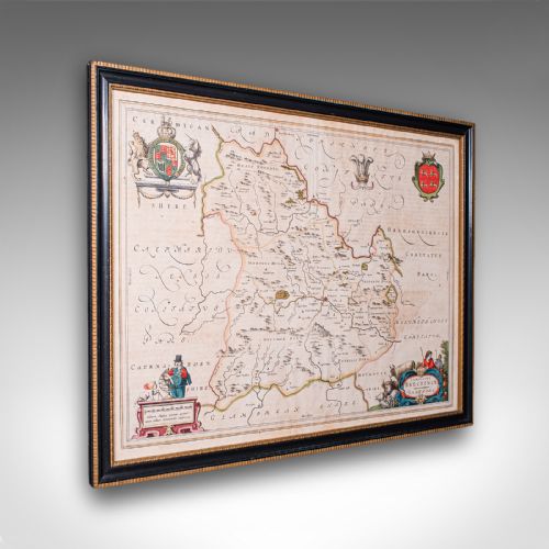
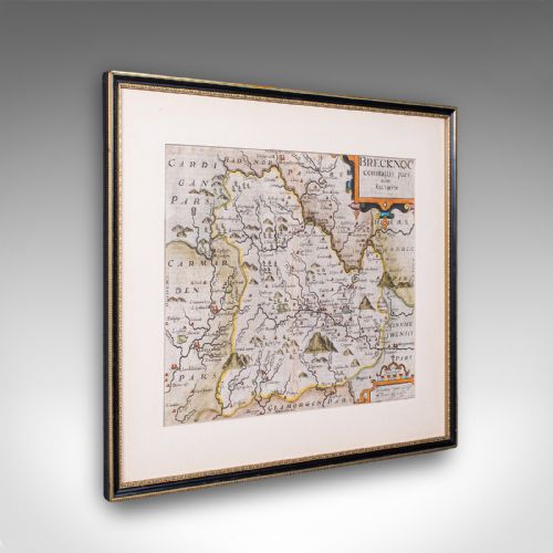
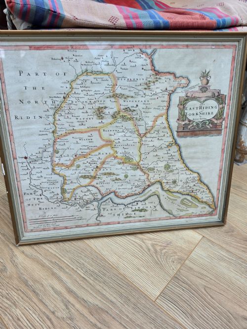
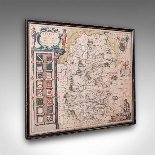
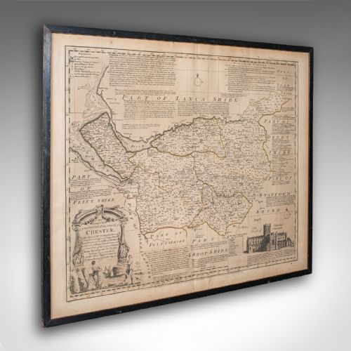
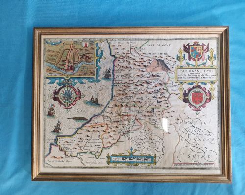
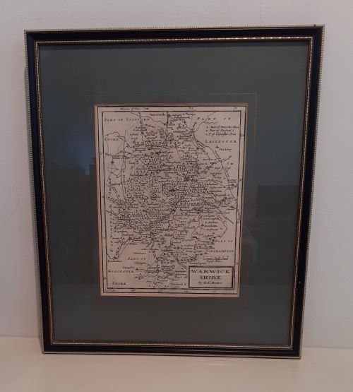
A historic county wall map represents geographical regions of Britain through early cartography, capturing counties such as Wiltshire, Cheshire, and Surrey. These pieces function as framed wall art, presenting engraved depictions that trace local boundaries and settlements.
The selections encountered here span multiple centuries, ranging from seventeenth-century Dutch and British works to Georgian and later editions. Cartographers recorded county layouts using copperplate engraving and ink on paper, often framing the results in wood or gilt wood.
Buyers will find works associated with prominent cartographers like John Speed, Joan Blaeu, and John Cary. These items reflect the evolving science and artistry of mapmaking across distinct historical periods.
Materials and construction
Framing materials commonly include wood and gilt wood, paired with glass to protect the delicate paper surface. These mounting techniques ensured the survival of fragile cartographic sheets over hundreds of years.
Historic County Wall Map Retail Price Guide 2026
Typical asking prices for historic county wall map among the pieces listed under this phrase on Sellingantiques today, from the lower quarter to the upper quarter. They describe what is for sale here now, not the wider market.
The listings span from the seventeenth century through to the twentieth century, utilising paper, glass, wood, ink, and gold leaf.
Quality and craftsmanship
The distinction between items rests on the precision of the engraving, the clarity of the ink impression, and the preservation of the paper. Hand-applied details such as watercolour and gold leaf contribute further visual depth to certain maps.
The historical significance of the cartographer and the period of publication also shape the character of each piece. Surviving frames in wood or gilt wood add context depending on their age and condition.
John Speed·Joan Blaeu·John Cary·Thomas Kitchin·Robert Morden
The Historic County Wall Map Glossary
- Cartography
- The study and practice of making maps. This discipline forms the basis of all county map production.
- Atlas Engraving
- A printed map derived from plates bound within a larger volume. These plates were often removed later for individual framing.
- Gilt Wood
- Carved wood treated with gold leaf or gold paint. This material frequently appears on the frames surrounding early maps.
Historic County Wall Map: Frequently Asked Questions
How do I hang a framed map safely?
Secure the frame using appropriate wall fixings that match the weight of the wood and glass construction. Position the piece away from direct sunlight to protect the ink and paper from fading.
Ensure the hanging wire or brackets on the back of the frame are firmly attached. Professional framing support helps distribute the weight evenly across the wall.
What is the difference between seventeenth-century and Georgian maps?
Seventeenth-century maps often feature ornate cartouches, Latin text, and distinct Dutch or British cartographic styles by makers like Blaeu and Speed. They reflect early scientific surveying and decorative artistry.
Georgian maps tend to show refined typography and updated geographical boundaries produced by later cartographers such as Cary and Kitchin. The engraving styles shifted toward cleaner lines and clearer regional delineations.
How should I clean the glass on a framed map?
Apply a mild glass cleaner to a soft cloth rather than spraying the liquid directly onto the frame. This prevents moisture from seeping under the glass and damaging the paper map inside.
Wipe the surface gently to remove dust and fingerprints without applying heavy pressure to the glazing. Check that the frame joints remain stable during the process.
Why do some maps include Latin text?
Early cartographers frequently incorporated Latin inscriptions within titles, dedications, and border descriptions to appeal to an educated, international audience. This practice was common among seventeenth-century publishing houses operating in Amsterdam and London.
Latin served as the scholarly language of Europe during the period of production. It added formal authority and geographical context to the engraved county plates.