







Georgian Topographical Print
A georgian topographical print captures a specific place and period, offering collectors a detailed window into past landscapes and townscapes through ink and paper.
Georgian Topographical Print
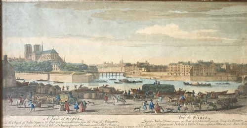
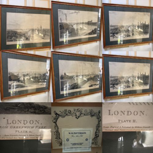
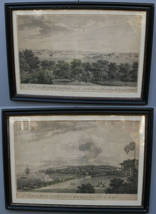
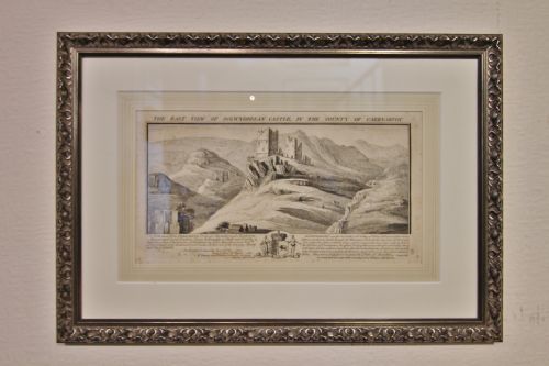
A georgian topographical print typically depicts specific landscapes, buildings, towns, or river views recorded during the eighteenth and early nineteenth centuries. These works serve as visual records of places both familiar and altered by time, appealing to historians and local enthusiasts alike.
The selections available here range from detailed maps and architectural prospects to hand-coloured views of rivers and castles. Most examples appear within frames of wood or giltwood, often protected behind glass to preserve the delicate paper beneath.
Dating conventions span from the eighteenth century into the Victorian era, reflecting the enduring popularity of recording precise views. Buyers encounter everything from large Caribbean maps to delicate monochrome ink drawings with watercolour washes.
Materials and Technique
Makers relied primarily on paper as the ground for ink, aquatint, and lithograph techniques. Prints were frequently finished with hand-coloured ink or watercolour applied directly to the surface to enhance architectural details and natural scenery.
Framing materials such as wood, burr walnut, and gold leaf were utilised to protect and display these works. Glazing with glass shielded the vulnerable paper from atmospheric moisture and handling during daily use.
Listings feature works spanning the eighteenth century, the Regency period, and the Victorian era, utilising paper, ink, wood, and gold leaf.
Factors That Separate Examples
The clarity of the engraved lines and the precision of the cartography or architectural rendering set superior examples apart. Finer works display meticulous attention to perspective and detail, whether depicting a sprawling map or a quiet country house.
The quality and preservation of hand-colouring heavily influence the visual impact of a piece. Original pigments that remain vibrant without fading or bleeding into the paper indicate careful storage and higher initial craftsmanship.
Robert Morden·Joseph Constantime Stadler·R. Creighton·Mason
The Georgian Topographical Print Glossary
- Aquatint
- An etching technique that produces tonal areas resembling watercolour washes. It was widely used in topographical works to create subtle shades of light and shadow.
- Cartography
- The science or practice of drawing maps. In this context, it refers to the engraved county or regional maps produced during the period.
- Lithograph
- A print produced by printing from a flat stone or metal plate treated to retain ink only in desired areas. This method allowed for efficient reproduction of detailed views.
- Giltwood
- Wood carved and covered with a thin layer of gold leaf or gold paint. Frames constructed from this material frequently house antique prints and mirrors.
Georgian Topographical Print: Frequently Asked Questions
How do I care for framed paper prints?
Keep the framed piece away from direct sunlight to prevent the ink and hand-colouring from fading over time. Maintain a stable room temperature to avoid warping the wooden frame or damaging the paper.
Ensure the glass remains intact to protect the delicate surface from dust and moisture. Professional framing using acid-free materials helps preserve the longevity of the paper.
Were these prints always hand-coloured?
Many topographical prints were published in monochrome ink and later enhanced with watercolour by hand. This application could happen at the time of publication or decades afterward.
Examining the pigment under magnification often reveals whether the colour is contemporary to the print or a later addition. Both monochrome and coloured versions appear across eighteenth and nineteenth-century examples.
How can I tell the period of a map?
Cartographic style, typography, and regional boundary markers provide key clues to the date of production. Engravers often included publication dates and maker signatures directly within the margin.
Paper characteristics, such as watermarks and texture, further help confirm whether a map originates from the Georgian era or a later Victorian printing.
What is the difference between a map and a prospect?
A map presents an overhead geographical survey of roads, counties, and towns. These often include decorative cartouches and detailed scale bars.
A prospect offers a horizontal, eye-level view of a specific building, estate, or city skyline. Artists drew these landscapes to highlight architectural grandeur and topographical layout.