





Georgian Topographical Engraving
Georgian topographical engraving brings period towns, rivers and islands onto the wall through printed line and hand-tinted pigment.
Georgian Topographical Engraving
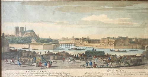
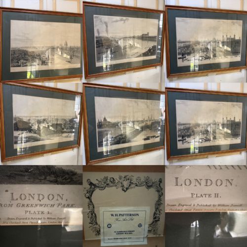
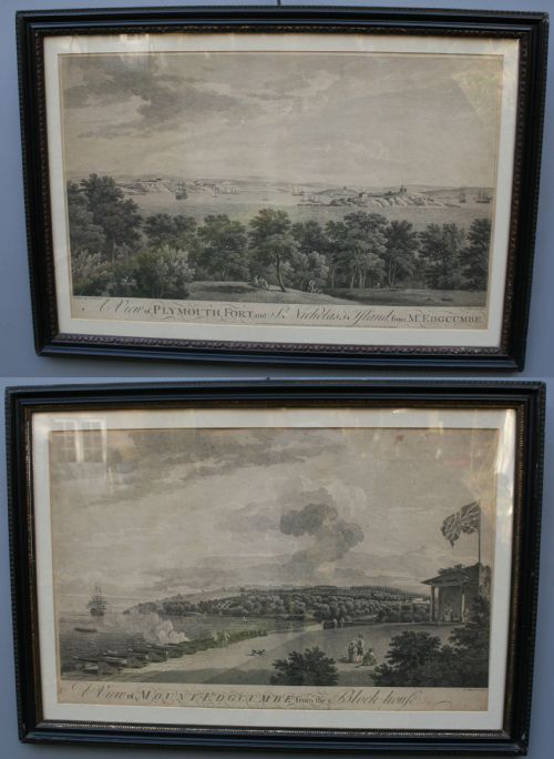
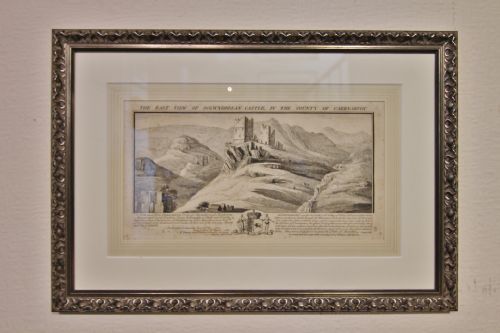
A georgian topographical engraving presents detailed views of cities, rivers, castles, military forts and regional maps framed behind glass in wood or gold leaf surrounds. Buyers searching this phrase encounter framed prints, wall maps and prospects dating from the eighteenth century into the nineteenth century.
The subjects range from Caribbean island maps and English county cartography to specific city prospects such as Paris, London, Warwick and Plymouth Fort. These works capture specific landscapes and townscapes through fine ink lines on paper, often finished with original hand colouring or watercolour washes.
Materials and methods
Framing materials in the evidence include wood and gold leaf surrounds paired with glass protection. The underlying supports utilise paper sheets, sometimes mounted alongside cartographic details or historical text.
Object types recorded include framed prints, wall art, wall maps, antique prints and antique maps.
Judging quality in topographical prints
Quality rests upon the precision of the engraving work and the subtlety of any applied hand colouring or watercolour wash. Sharpness in the printed lines of townscapes and maps distinguishes accomplished printmaking from softer impressions.
The condition of the paper and the integrity of the original framing elements, such as wood and gold leaf, contribute to the overall presentation. Strong geographical interest and identifiable locations also elevate the appeal of individual plates.
Robert Morden·Joseph Farrington RA·Joseph Constantime Stadler·R. Creighton
The Georgian Topographical Engraving Glossary
- Aquatint
- A printmaking technique that produces tonal areas resembling watercolour washes through acid etching on a copper plate. It allows for subtle gradations of shade behind the printed lines.
- Cartography
- The study and practice of making maps. In these listings, cartography encompasses engraved county maps and regional plans.
- Hand-coloured ink
- Pigment applied by hand to a finished monochrome print to add realistic colour to landscapes, maps and coats of arms. This work was typically done in the studio after printing.
- Prospect
- A panoramic view of a town, estate or natural feature depicted from an elevated vantage point. These large prospects record topographical details from past centuries.
Georgian Topographical Engraving: Frequently Asked Questions
How should I hang these framed prints?
Hang them away from direct sunlight to protect the paper and any hand-applied watercolour from fading over time. Ensure the wall fixings match the weight of the wood and gold leaf frames.
Keep them in stable room conditions away from excessive moisture to preserve the paper and backing materials.
Are these maps and views original period pieces?
The listings span the eighteenth century, the nineteenth century and later periods, featuring works created during the eras they depict. Each piece relies on period printing methods such as engraving and lithography on paper.
Examine the paper texture and printing ink characteristics to understand the age of the specific plate.
What subjects do these engravings show?
The subjects include English county maps, Caribbean islands, military formations, castles and urban prospects like London, Paris and the River Thames. They document actual locations and cartographic surveys from past centuries.
Some plates focus on detailed regional geography while others capture wide panoramic views of fortifications and landscapes.
How do I care for antique paper prints?
Protect the surface by keeping the glass intact and avoiding placement in damp areas like kitchens or unheated rooms. Dust the wood and gold leaf frames gently with a dry cloth.
Consult a professional paper conservator if the backing or paper requires attention.