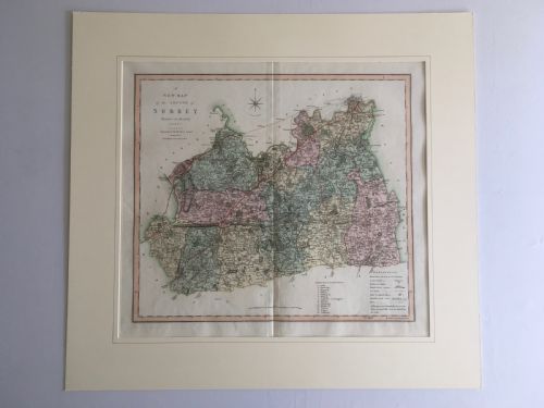
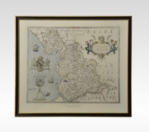
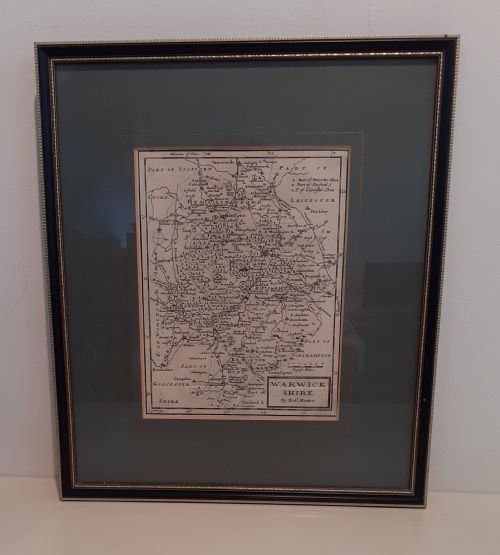
A framed english map brings early cartography and period domestic decoration together on the wall through engraved paper, ink, and timber.
Geographic subjects include English counties, Welsh shires, Caribbean islands, and European city plans.