
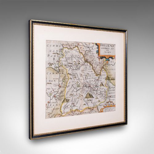





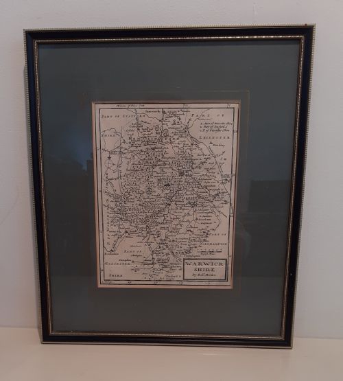

Black Engraved County Map
A black engraved county map brings early cartography onto the wall, showing historic boundaries through fine intaglio lines.
Black Engraved County Map
The versions most commonly met on this page are framed examples on paper, often preserved under glass with wood and gilt framing. They span periods from the seventeenth century through the Georgian era, capturing centuries of English and Welsh regional mapping.
Makers such as John Speed, Robert Morden, and Emanuel Bowen feature across these listings, providing authoritative county delineations from different decades. Each piece functions as both a historical document and decorative wall art.
How they were made
These works rely on copperplate engraving on paper, where lines and lettering are cut into metal before printing. Skilled artisans produced the detailed cartography using hand-operated presses to transfer the ink onto quality sheets.
Framing materials include wood, glass, and gold leaf or gilt finishes applied to protect the delicate paper surface. These period mountings help preserve the historic engravings for display on walls.
Listings feature paper maps produced during the seventeenth century and eighteenth century, utilising wood, glass, and gold leaf materials.
What varies in quality
The clarity of the intaglio printing and the precision of the original engraving separate finer cartography from standard production. Sharper impressions display the fine lettering and regional details much more crisply.
The preservation of the paper sheet and the quality of the associated framing materials also influence the character of each piece. Intact margins and well-maintained period frames contribute significantly to the overall presence of the map.
John Speed·Robert Morden·Emanuel Bowen
The Black Engraved County Map Glossary
- Cartography
- The science or practice of drawing maps. In these works, it encompasses the detailed rendering of county boundaries and settlements.
- Engraving
- A printmaking technique where an image is incised into a metal plate. This method allowed cartographers to achieve fine, permanent lines on paper.
- Intaglio
- A printing process where ink is held within incisions below the surface of the plate. It produces the raised ink texture characteristic of period maps.
- Georgian
- A period spanning the eighteenth century defined by distinct architectural and decorative arts. Many county maps in these listings originate from this era.
Black Engraved County Map: Frequently Asked Questions
How old are these county maps?
The pieces span from the seventeenth century through the eighteenth century and the Georgian period. Dates in the listings range from around sixteen-ten up to mid-eighteenth-century publications.
Specific makers active during these times, such as John Speed and Robert Morden, anchor the chronology of the works.
How were these maps displayed originally?
Many were issued unbound in atlases before later being separated and mounted for display. Current examples typically arrive framed and glazed as wall art.
Wood and gilt framing protects the paper substrate from environmental exposure.
What materials make up each piece?
The primary component is paper bearing the engraved map image. This is complemented by wood frames and glass protection, frequently accented with gold leaf or gilt.
These materials work together to preserve the fragile paper historical documents.
Who engraved these historic maps?
Noted cartographers and publishers such as John Speed, Robert Morden, and Emanuel Bowen produced these county maps. Their workshops mapped English and Welsh shires across different centuries.
Their names often appear directly on the printed plates within the cartography.