



Antique World Map
An antique world map gives physical form to past geographies, bringing centuries of cartography and terrestrial globes into your home.
Antique World Map
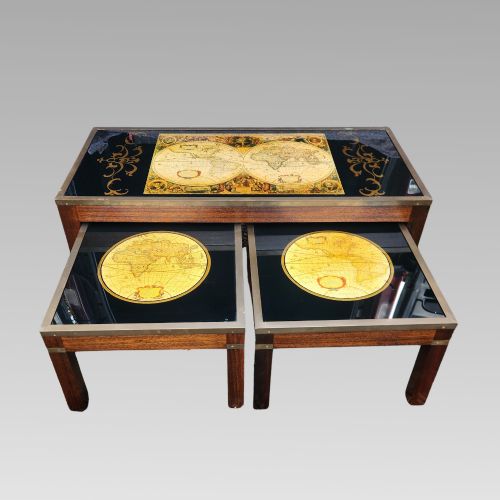
When you search for an antique world map, you encounter a range of cartographic objects spanning from the eighteenth century to the mid-twentieth century. The selection encompasses framed sheet maps, desk globes, terrestrial spheres, and unusual hybrids such as globe-shaded oil lamps.
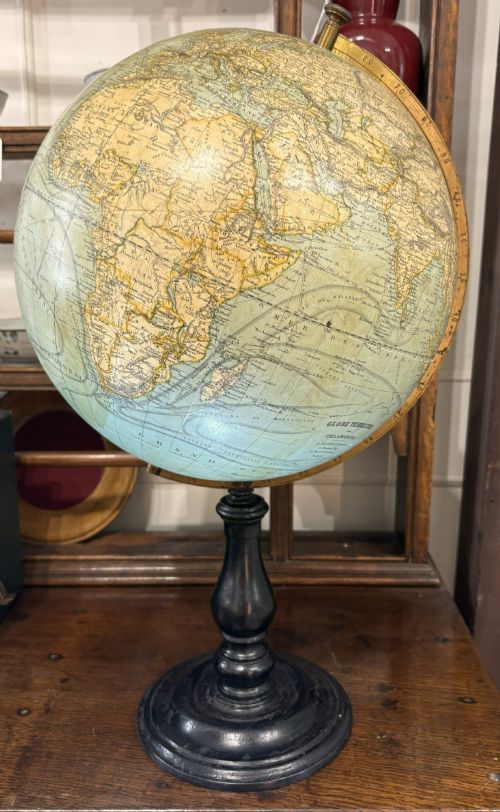
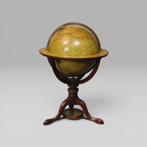
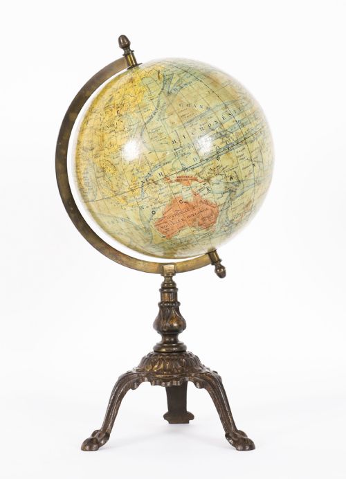
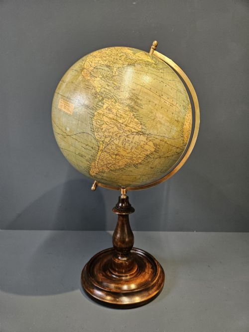
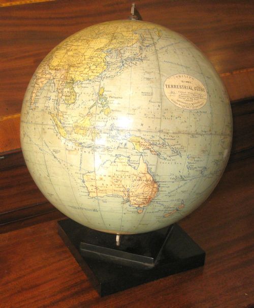
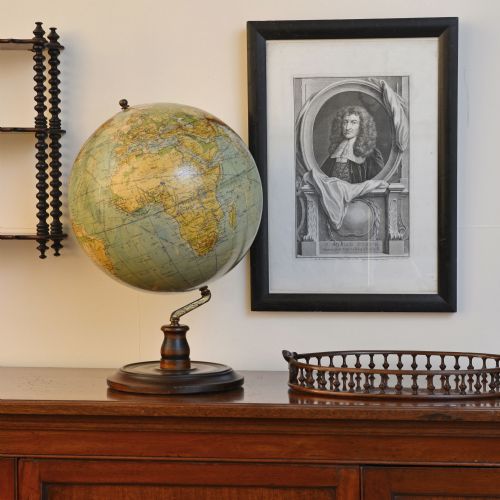
Most pieces you meet on this page date from the nineteenth and twentieth centuries, taking the form of terrestrial globes mounted on wood, brass, or cast iron stands. Makers such as Cary, Philips, Geographia, and Lebegue produced these educational and decorative instruments across Britain, France, and Germany.
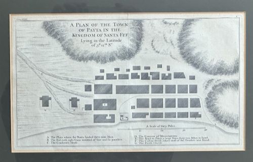
Alongside spherical globes, the inventory includes Georgian framed cartography and mid-eighteenth-century voyage maps detailing global explorations. These flat maps and rounded globes together represent the changing ways makers charted the world across successive eras.
Materials and construction
Cartographers and globe-makers constructed these pieces using paper gores applied over plaster or papier-mâché spheres, which were then hand-coloured and varnished. The underlying frames and stands utilise wood, ebonised wood, brass, cast iron, and other metals to support the weight of the globe.
Desk and floor-standing globes often rest on turned wooden feet or metal half-meridians, whilst flat maps feature period framing and paper conservation. German and British firms employed detailed lithography and copperplate engraving to print the geographical details onto the paper segments.
Antique World Map Retail Price Guide 2026
Typical asking prices for world map among the pieces listed under this phrase on Sellingantiques today, from the lower quarter to the upper quarter. They describe what is for sale here now, not the wider market.
One Victorian piece cleverly reimagines geography altogether by housing a terrestrial map inside an illuminated oil lamp shade.
Quality and execution
The distinction between standard educational globes and exceptional pieces lies in the precision of the engraving, the clarity of the hand-colouring, and the integrity of the original paper gores. Finer examples retain their original varnish without heavy crackling, and their mounting stands display superior joinery and materials such as walnut.
Cartographic detail and maker attribution elevate certain pieces, particularly signed works by established houses like Cary or Raths. The preservation of original components, from the brass meridian rings to the wooden bases, determines the overall standing of the object.
Cary London·Lebegue And Cie·George Philips And Son Ltd·Geographia·Carl Adami·Raths Physikalischer
The Antique World Map Glossary
- Gores
- The printed paper segments, typically shaped like tapered lutes, pasted onto a spherical globe to form the map surface.
- Terrestrial globe
- A spherical model of the Earth displaying landmasses, oceans, and political boundaries of its specific production era.
- Cartography
- The science or practice of drawing maps, evident in both flat framed sheets and spherical globe gores.
- Meridian
- The metal ring, often brass, that surrounds a globe and allows it to tilt and rotate along a fixed axis.
- Papier-mâché
- A composite material consisting of paper pieces or pulp bound with glue, used to form lightweight globe cores.
Antique World Map: Frequently Asked Questions
How do I date an antique globe?
Examine the political boundaries, capital cities, and territorial names printed on the paper gores, as makers updated these details to reflect the era of production. Geographical anomalies, such as colonial territories or renamed cities, often provide a narrow timeframe for when the globe was manufactured.
Makers frequently included publication dates near the cartouche or legend, though undated globes require cross-referencing the geopolitical landscape with known operational years of the publishing firm.
How were desk globes used historically?
Desk globes served as practical reference tools for scholars, merchants, and families to understand international geography, trade routes, and distant explorations. They sat in libraries and studies alongside books as functional instruments of education.
Beyond utility, these globes acted as decorative statements of worldly knowledge and sophistication for the domestic interior, reflecting the owner's interest in global affairs.
How do I care for a paper globe?
Keep globes out of direct sunlight to prevent the hand-coloured paper gores and varnish from fading or discolouring over time. Maintain a stable indoor environment away from excessive humidity, which can cause the paper to warp or the underlying plaster core to degrade.
Dust the surface very gently with a dry, soft cloth, avoiding any moisture, cleaning solutions, or abrasive materials that might damage the fragile printed layers.
What is the difference between flat maps and globes?
Flat maps offer a two-dimensional projection of the world or specific voyages, framed for wall display and detailed study of historical cartography. They present information in sheets rather than spheres.
Globes provide a three-dimensional representation that preserves correct spatial relationships and scale across the Earth's surface, mounted on stands for tactile rotation.