


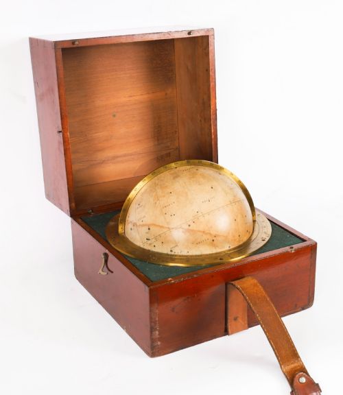


Antique Paper Globe
An antique paper globe captures the world in miniature, bringing tangible geography and historical cartography directly onto a desk or table.
Antique Paper Globe
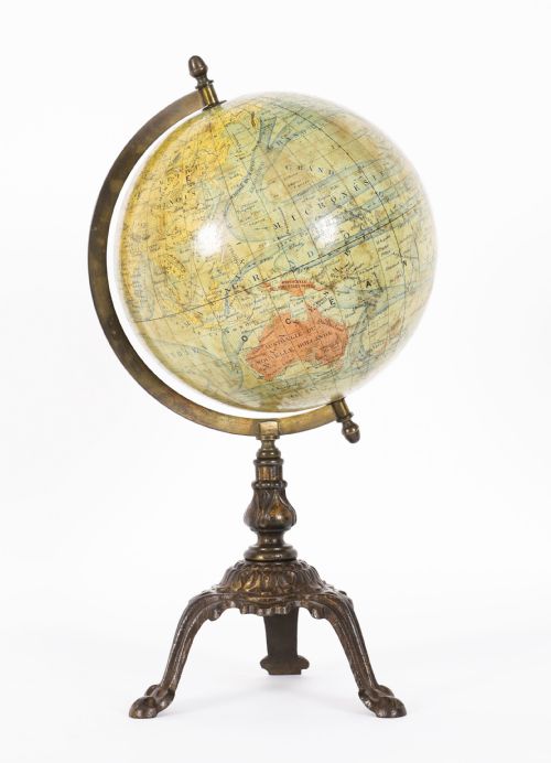
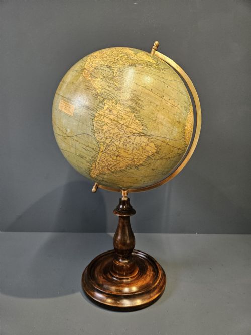
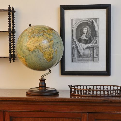
An antique paper globe takes the form of a sphere mapped in segments and mounted for desktop or table use. These pieces trace centuries of geographical knowledge, representing the earth or heavens across distinct historical eras.
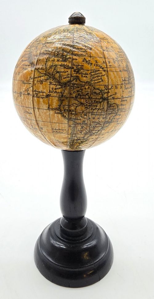
Buyers frequently encounter examples from the nineteenth and twentieth centuries, particularly Victorian editions and interwar productions. These take various scales, from pocket-sized miniatures to substantial twelve-inch library globes.
Makers utilised paper gores applied over plaster or paper mache spheres, mounted upon turned wood, brass, or cast iron stands. Such objects served as both educational instruments and ornamental fixtures in studies and parlours.
What varies in quality
Quality rests significantly upon the clarity and detail of the cartographic engraving, alongside the precision with which the paper gores align along the seams. Finer examples display crisp typography and accurate geopolitical boundaries appropriate to their date of publication.
The materials of the stand and mounting hardware also distinguish different tiers of manufacture. Heavy brass meridians, turned hardwood bases, and robust plaster cores separate superior library pieces from smaller, simpler educational models.
Listings feature paper, brass, wood, metal, plaster, ebonised wood, mahogany, and cast iron across Victorian, interwar, and eighteenth-century periods.
Lebegue & Cie·Geographia·Bacon·George Philips and Son Ltd·Hughes & Son·G & J Cary·J. Forest·Malby·M.Vivien·Chandy Charan & Co·Carl Adami·Raths·Crunchley
The Antique Paper Globe Glossary
- Gore
- A tapering, typically gore-shaped printed paper strip that is pasted onto a sphere to form the map. Multiple gores are pieced together to cover the globe seamlessly.
- Meridian
- A brass or metal ring surrounding the globe that holds it in place and indicates degrees of latitude. This ring often allows the sphere to tilt.
- Terrestrial globe
- A scale model of the earth depicting continents, oceans, and political borders. These contrast with celestial globes, which map the stars and constellations.
- Paper mache
- A composite material made from paper pulp mixed with glue or resin, moulded into a solid sphere. It provides a sturdy yet lightweight base for the paper map.
- Table globe
- A portable model designed to sit directly on a desk, table, or sideboard rather than standing independently on the floor.
Antique Paper Globe: Frequently Asked Questions
How do I read the date on a globe?
Cartographers usually printed the publication year near the cartouche or within the geographical details of the map. Comparing depicted nations and railway lines offers further clues to the era of manufacture.
Changes in political borders help narrow down the decade when explicit dates are absent from the paper gores.
Where were these globes displayed historically?
These instruments sat upon library tables, merchant desks, and parlour sideboards in homes and offices. They functioned as working reference tools for scholars, merchants, and inquisitive families.
Their presence signalled an educated household engaged with global exploration and international trade.
How should I care for an antique paper globe?
Keep the piece away from direct sunlight and damp environments to prevent the paper gores from fading, yellowing, or lifting. Gentle dusting with a dry, soft cloth is sufficient for maintenance.
Avoid using liquid cleaners or polishing agents on the paper surface, as moisture damages the historic map.
What is the difference between terrestrial and celestial globes?
Terrestrial models map the geography of the earth, including landmasses, oceans, and political territories. Celestial versions map the night sky, showing constellations, stars, and astronomical coordinates.
Celestial examples were often paired with terrestrial ones in professional libraries during the nineteenth century.