

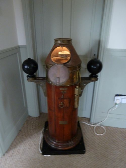


Antique Navigation Instrument
An antique navigation instrument is a precision tool used to traverse the seas, built to outlast the ship that carried it.
Antique Navigation Instrument
Every antique navigation instrument represents an era when finding position required physical measurement under an open sky rather than digital calculation.
The selections found here span pocket-sized sundials and compasses through to large ship binnacles, chronometers, and cased octants.
Many items bear the hallmarks of maritime and scientific development from the Georgian, Victorian, and Edwardian periods.
Materials and construction
Makers relied heavily on solid brass, lacquered metal, and polished wood such as mahogany and ebony to withstand harsh marine environments.
Glass protected delicate compass cards and artificial horizon sets, while paper scales and thread added intricate detail to portable dials.
Precision engineering governed every component, from the folding hinges of boxwood clinometers to the complex gears of marine chronometers.
Materials appearing across the collection include brass, mahogany, glass, paper, boxwood, nickel, and black glass.
Distinctions in quality
Superior examples carry the signatures of renowned makers and institutions, reflecting exceptional standards in scientific craftsmanship.
The integrity of the original case, whether fitted wood or leather, often distinguishes pieces intended for serious exploration from everyday items.
Hughes and Son·Henri de Magnac·A Hurlimann Paris·John Lilley and Son London·Thomas Mercer
The Antique Navigation Instrument Glossary
- Binnacle
- A built-in housing on a ship designed to hold the ship's compass near the helm. This protected the instrument from weather and iron interference.
- Octant
- An early reflecting instrument used to measure the angle between an astronomical object and the horizon. It precedes the modern sextant.
- Artificial horizon
- A device used to determine the angle of a celestial body when the natural sea horizon is obscured by fog or darkness. It typically utilises a reflective surface with a spirit level.
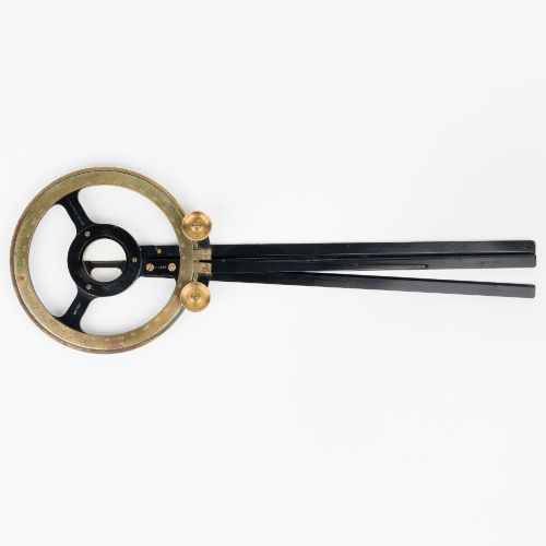
- Station pointer
- A three-arm protractor used in hydrographic surveying to fix a ship's position relative to three known charted points. It plots angles directly onto navigation charts.
- Chronometer
- A highly accurate portable timepiece designed to determine longitude at sea by measuring time relative to a prime meridian.
Antique Navigation Instrument: Frequently Asked Questions
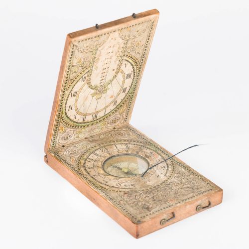
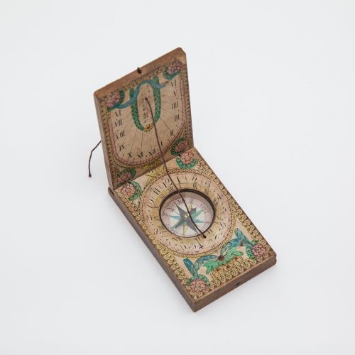
How do portable sundials and compasses work together?
Pocket-sized combinations used the magnetic compass to align the device with true north and the sundial to tell local apparent time. Travellers relied on this pairing to determine both direction and time without electricity.
Folding gnomons and graduated brass scales allowed these instruments to be adjusted for different latitudes while on the move.
How were marine chronometers kept accurate?
A marine chronometer was housed in a gimbaled brass box inside a wooden case to isolate the clockwork from the roll and pitch of a ship. This constant motion-dampening setup ensured the escapement mechanism maintained a steady rate.
Navigators wound these two-day clocks daily and checked them against port standards to calculate longitude.
What was the purpose of a station pointer?
Cartographers and surveyors used station pointers to map coastlines and plot precise positions from nautical angles. By sighting three fixed shore landmarks, an operator set the movable legs to match the measured angles.
Placing the instrument on a chart instantly revealed the exact location of the vessel.