











Antique Cartography
Antique cartography encompasses printed maps, globes and scientific instruments that map the world across several centuries.
Antique Cartography
When you search for antique cartography, you encounter framed county maps, town plans, regional charts and world atlases from the seventeenth century onwards. These paper works often arrive mounted behind glass within wooden frames, showing regional boundaries and historical topography.
Beyond flat paper sheets, the category includes terrestrial and celestial globes mounted on stands, alongside utilitarian objects such as cartographer serving trays and architect desks. The selection spans Dutch masters, English county cartographers and French atlas makers.
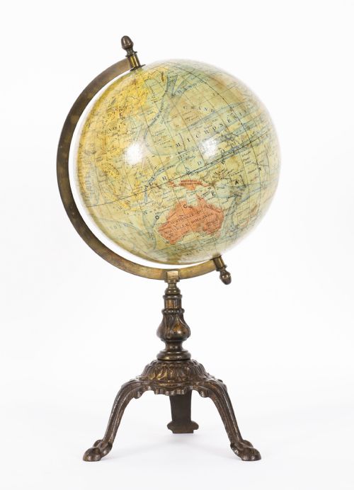
The material record includes copperplate engravings on paper, sometimes hand-coloured with ink and gold leaf, housed in mahogany or brass fittings. Globes combine plaster spheres with printed gores, supported by wooden or brass mountings.
Materials and production methods
Map production relied upon copperplate engraving, where cartographers etched lines into metal plates before transferring them to paper using printing ink. Artisans frequently applied watercolour or gold leaf by hand to highlight borders, titles and decorative cartouches.
Globes required a different technique, shaping plaster over a core sphere before applying printed paper gores in precise segments. Workshops utilised wood for framing and mounting, employing mahogany, brass and glass to protect and display the paper components.
Listings feature paper, glass, wood, brass, ink, gold leaf, mahogany and plaster across multiple centuries.
Quality factors in maps and globes
The distinction between tiers rests upon the clarity of the plate impression, the precision of contemporary hand-colouring and the preservation of the original margins. Sharpness in the engraved lines indicates an early impression from the copperplate before wear softened the details.
For globes, quality depends upon the completeness of the printed gores, the stability of the plaster sphere and the original mounting hardware. Surviving wooden stands and brass meridians retain more significance when undamaged by later restoration.
John Speed·Robert Morden·Joan Blaeu·John Cary·Thomas Jefferys
The Antique Cartography Glossary
- Gore
- A tapered strip of printed paper applied to a sphere to form the map of a globe. Multiple gores align from pole to pole to cover the curved surface.
- Copperplate
- A sheet of copper used for line engraving in map production. Artisans carved the reversed image directly into the metal before printing onto paper.
- Terrestrial globe
- A spherical model representing the Earth. These instruments show landmasses, oceans and historical trade routes.
- Celestial globe
- A spherical model representing the night sky and constellations. They map stars and astronomical coordinates rather than terrestrial geography.
Antique Cartography: Frequently Asked Questions
How should I hang framed maps?
Protect antique paper maps from direct sunlight to prevent the ink and hand-applied watercolours from fading over time. Keep them away from damp walls and fluctuating temperatures that might warp the wood frames and damage the paper.
Use professional framing techniques with acid-free backing materials to support the sheet safely within the glass. Secure the frame firmly to wall studs using appropriate fixings to ensure the weight is supported.
How do I identify a 17th-century map?
Examine the paper quality, typography and Latin text conventions typical of early print shops. Seventeenth-century maps often feature heavy laid paper with visible watermarks when held to the light.
Look at the decorative cartouches and regional spellings, which differ noticeably from later Georgian and Victorian editions. Cartographers from this era, such as Dutch and English masters, included distinct ornamentation around the borders.
What is the difference between terrestrial and celestial globes?
Terrestrial globes depict the surface of the Earth, including countries, oceans, historical boundaries and exploratory routes. They serve as three-dimensional maps of the physical world as understood during their specific decade of manufacture.
Celestial globes map the stars, constellations and astronomical coordinates visible in the night sky. They use a spherical coordinate system designed to mirror the celestial sphere rather than terrestrial geography.