












Vintage Cartography Map
A vintage cartography map brings centuries of geography and decorative artistry into your home through engraved paper and globes.
Vintage Cartography Map
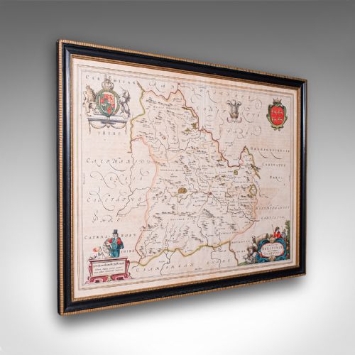
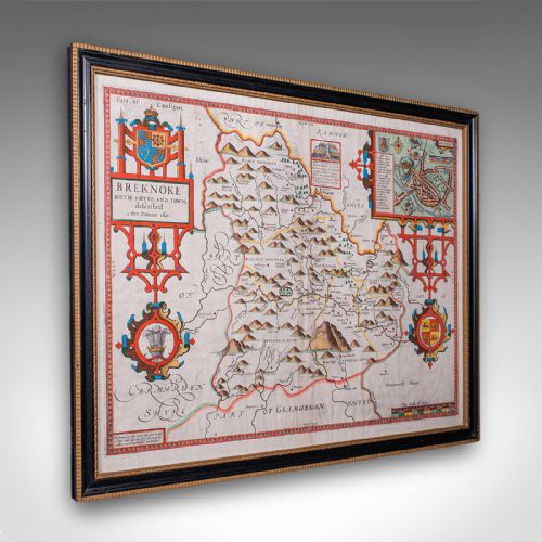
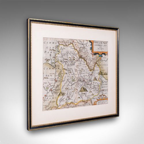
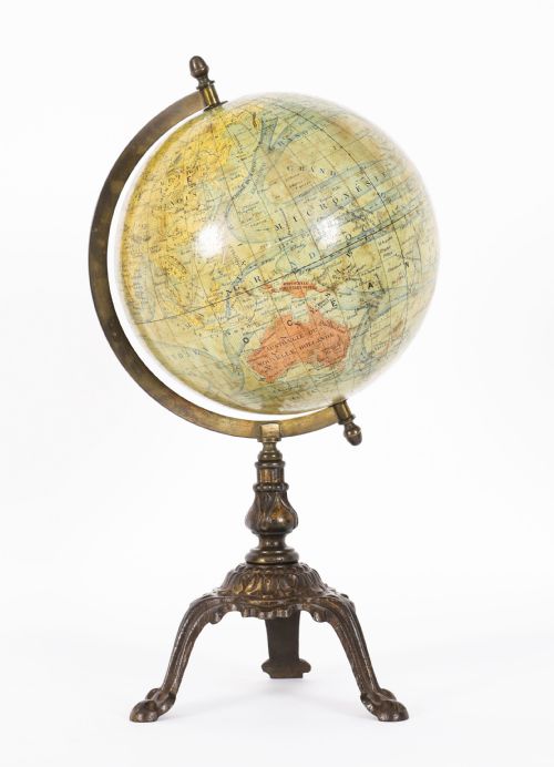
A vintage cartography map encompasses printed geographic representations ranging from seventeenth-century county surveys to nineteenth-century global globes. When you search for this phrase, you encounter framed sheets, town plans, and spherical terrestrial globes spanning multiple stylistic periods.
The pieces on this page lean heavily toward seventeenth-century Dutch cartography, Georgian county records, and Victorian world views. You find works by notable cartographers rendered in paper, ink, and occasionally watercolour.
Forms vary from wall art and framed maps to serving trays bearing European map designs. Each object captures a specific historical perspective on regions like Britain, France, the Caribbean, and North America.
Materials and construction methods
Makers produced these works primarily using paper and ink, often enhanced with hand-applied watercolour and gold leaf detail. Copperplate engraving dominated the earlier centuries, pressing fine lines onto heavy laid paper.
Globes incorporate wooden stands, brass meridians, and glass components alongside printed gores mounted on spheres. Framing materials involve wood and glass to protect fragile aged paper from environmental damage.
Vintage Cartography Map Retail Price Guide 2026
Typical asking prices for vintage cartography map among the pieces listed under this phrase on Sellingantiques today, from the lower quarter to the upper quarter. They describe what is for sale here now, not the wider market.
Current listings feature maps spanning the seventeenth century through to the Victorian era, utilising paper, brass, wood, and watercolour.
Assessing quality in historical cartography
Quality rests upon the clarity of the original impression, the precision of the hand-colouring, and the survival of the paper margins. Crisp lines from early strikes outlive worn later impressions where plates grew tired.
The distinction between a master cartographer's workshop production and a standard commercial atlas page lies in the decorative cartouches, heraldic details, and contemporary colour application. Preservation of the original sheet without excessive trimming dictates desirability.
Joan Blaeu·John Speed·Robert Morden·Johannes Janssonius·Thomas Jefferys
The Vintage Cartography Map Glossary
- Cartouche
- A decorative frame enclosing the title, scale, and cartographer's attribution on a map. These artistic panels often reflect the design sensibilities of the seventeenth or eighteenth centuries.
- Terrestrial globe
- A spherical model of the Earth mounted on an axis with a graduated brass ring. These objects provide a three-dimensional view of nineteenth-century and later geography.
- Copperplate engraving
- A printmaking technique where lines are cut into a copper sheet with a burin and filled with ink for transfer to paper. This method created the fine detail seen on early county and world maps.
- Atlas
- A bound collection of maps or a single loose sheet originally issued within such a volume. Many framed examples began their existence inside these historical compendiums.
- Gores
- Tapered strips of printed paper applied to a sphere to form the map of the globe. Makers carefully aligned these segments to ensure accurate geographical continuity across the curved surface.
Vintage Cartography Map: Frequently Asked Questions
How do I date an antique map?
Examine the cartouche, typography, and historical place names for clues about the printing era. Stylistic shifts between Jacobean, Georgian, and Victorian design also help narrow down the decade.
Printers often reissued plates over many years, so reference works and watermark analysis provide the most accurate dating for seventeenth and eighteenth-century examples.
Were these maps originally in books?
Many individual maps started life folded inside comprehensive atlases produced by European publishers. Dismantling such volumes for framing became common practice in later centuries.
Evidence of a centre fold usually indicates that a sheet once belonged bound within the pages of a historical atlas.
How should I display framed cartography?
Position framed maps away from direct sunlight to prevent the fading of antique inks and watercolour pigments. Stable room humidity protects the fragile paper base from warping.
Use UV-filtering glass during framing to provide an extra layer of conservation defence for paper items dating back to the seventeenth century.
What is the difference between a map and a globe?
Maps present two-dimensional projections of regions, countries, or the entire world onto a flat sheet of paper. Globes offer three-dimensional spherical representations of the Earth mounted on stands.
Globes incorporate mechanical elements like brass meridians and wooden bases, whereas maps rely on framing for physical support.