






Map in Wood Frame
A map in wood frame brings centuries of cartography and decorative arts together on the wall, offering a tangible window into past geographies.
Map in Wood Frame
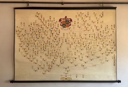
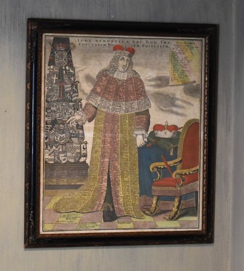
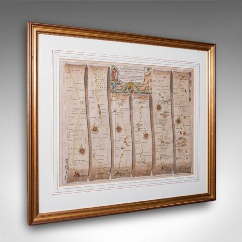
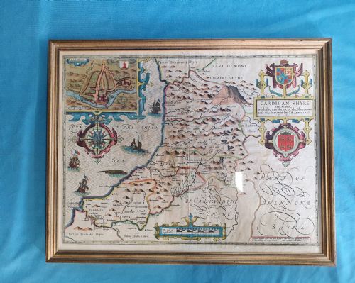
A map in wood frame encompasses printed cartography, engraved county surveys, pedigree rolls, and serving trays mounted for display. These pieces range from seventeenth-century English and Dutch county maps to eighteenth-century regional charts and nineteenth-century North American atlases.
The selections on this page draw from Georgian, Victorian, Edwardian, and earlier eras, presenting paper cartography housed within protective wooden surrounds. Buyers encounter framed prints, wall charts, and regional maps alongside serving trays featuring European cartography.
Origin points span English, Scottish, Irish, French, Dutch, and Italian cartographic traditions. Each piece reflects the surveying methods and decorative borders characteristic of its specific period of publication.
Materials and construction
The primary visual components rely on paper, ink, and linen, often enhanced with hand-applied watercolour or gold leaf details. Engravers pressed copper plates onto paper to produce the fine lines visible in early modern cartography.
Frames utilise wood, burr wood, and gilt wood, frequently paired with glass to protect the delicate paper surfaces beneath. Selected items incorporate structural linen backing to support large folding maps.
Map in Wood Frame Retail Price Guide 2026
Typical asking prices for map in wood frame among the pieces listed under this phrase on Sellingantiques today, from the lower quarter to the upper quarter. They describe what is for sale here now, not the wider market.
Listings feature paper maps, linen supports, and ink engravings housed within wood, burr wood, and gilt wood frames from the seventeenth century onward.
Factors of quality and execution
Quality reveals itself in the crispness of the original copperplate engraving and the precision of any contemporary hand colouring. Clear topographical details and well-preserved cartographic borders elevate an example above standard decorative prints.
The craftsmanship of the wooden frame contributes significantly to the overall merit of the piece. Fine timber selection, such as burr wood or period gilding, aligns with the historical importance of the map contained within.
John Speed·Joan Blaeu·Janssonius·Robert Morden·Colton
The Map in Wood Frame Glossary
- Cartography
- The science or practice of drawing maps. Early examples often incorporate ornate cartouches and decorative regional borders.
- County map
- A detailed survey focusing on specific administrative regions within a country. These frequently appeared in regional atlases during the seventeenth and eighteenth centuries.
- Gilt wood
- Wood coated with a thin layer of gold leaf or gold paint. This technique provided formal frames with a bright, reflective finish.
- Burr wood
- Timber taken from a tree growth where the grain has curled in a deformed manner. It creates highly figured patterns prized in decorative framing.
Map in Wood Frame: Frequently Asked Questions
How are early maps dated?
Cartographers often embedded publication dates within decorative title cartouches or marginalia.
Stylistic cues in the typography and engraving further assist in determining the era of production.
What protection does the frame offer?
Wooden surrounds and glass glazing shield fragile paper maps from atmospheric dust and physical handling.
Original frames also provide historical context regarding how the piece was displayed in past centuries.
Where were these maps produced?
Workshops across England, the Netherlands, France, and Italy created these cartographic works.
Publishers distributed regional surveys and global charts throughout Europe and beyond.
How do I hang a heavy framed map?
Secure fixings suited to the weight of the timber frame and glass are essential for wall mounting.
Positioning pieces away from direct sunlight preserves the ink and paper over time.