






Historic Wall Map
A historic wall map brings centuries of cartography and geography directly onto the interior wall through framed county plans, town views, and world charts.
Historic Wall Map
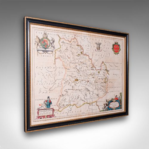
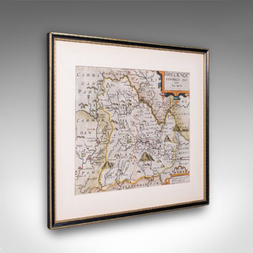
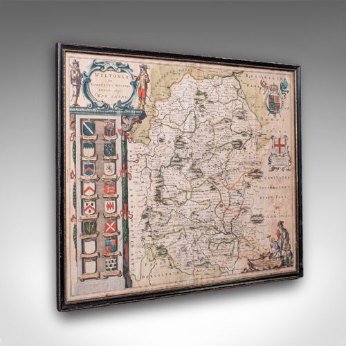
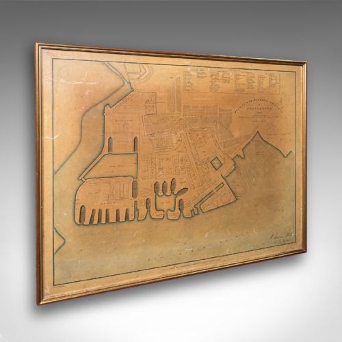
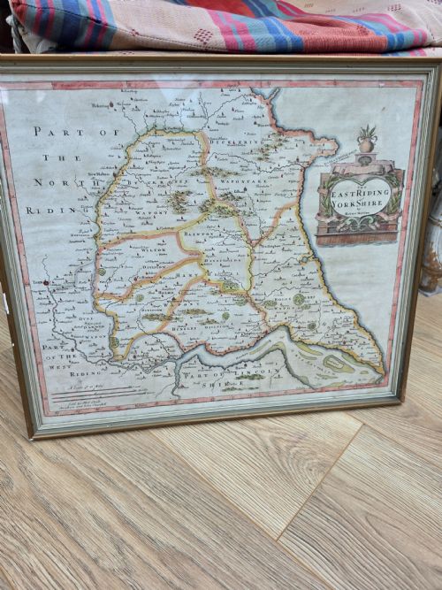
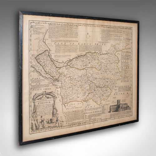
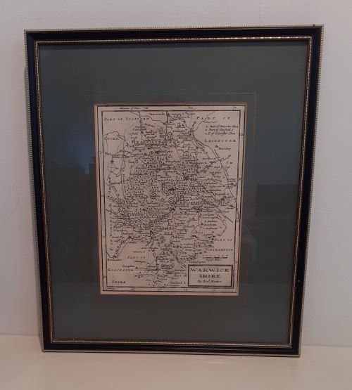
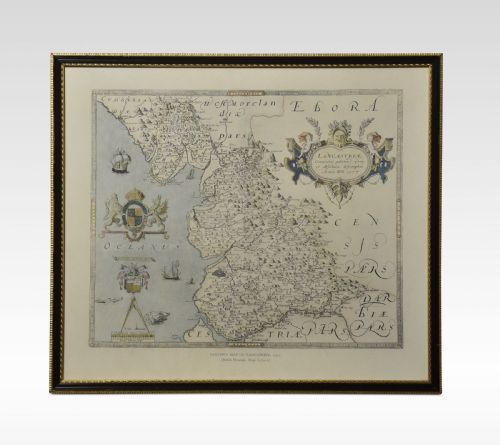
A historic wall map encompasses framed cartography, county engravings, and town plans originating from the seventeenth century onward. Buyers most frequently encounter engraved paper maps mounted behind glass within wooden or giltwood frames, alongside occasional needlework samplers and embroidered maps depicting English and Welsh counties.
The selection ranges from early seventeenth-century county cartography by makers such as John Speed and Joan Blaeu to Georgian town plans and Victorian depictions of London. These pieces serve as both historical records and decorative wall art, preserving bygone borders, place names, and topographical details.
Materials and Construction
These works rely primarily on paper sheets impressed with ink from engraved copper plates, frequently enhanced with watercolour or gold leaf detailing. Master cartographers and publishers produced maps using detailed etching and engraving techniques before mounting the paper onto supportive backings.
Framing materials incorporate wood, glass, and giltwood to protect the delicate paper surfaces and silk embroidery found in needlework samplers. The combination of laid paper, ink, and period frames ensures the survival of these fragile cartographic records.
Historic Wall Map Retail Price Guide 2026
Typical asking prices for historic wall map among the pieces listed under this phrase on Sellingantiques today, from the lower quarter to the upper quarter. They describe what is for sale here now, not the wider market.
Listings feature paper, silk, and glass components spanning the seventeenth century to the Victorian period.
Assessing Quality and Merit
Quality rests upon the clarity of the plate impression, the precision of contemporary hand colouring, and the survival of distinct cartographic details. Early seventeenth-century impressions pulled directly from plates by renowned cartographers command particular attention for their artistic embellishments and historical significance.
The integrity of the paper and the originality of the framing materials further distinguish superior examples. Pieces retaining clear publisher inscriptions, Latin text, and authentic period mountings demonstrate greater archival importance.
John Speed·Joan Blaeu·Janssonius·Thomas Kitchin·John Cary
The Historic Wall Map Glossary
- Cartography
- The science or practice of drawing maps. This discipline forms the core of all antique map collection and study.
- Atlas Engraving
- A map plate originally produced for inclusion within a bound atlas rather than for separate publication. These plates provide detailed geographical data of specific counties and regions.
- Needlework Sampler
- A piece of decorative embroidery demonstrating proficiency in stitches and alphabets, occasionally taking the form of a geographical map. These textile pieces frequently date to the Georgian period.
- Giltwood
- Wood that has been coated with gold leaf or a gold-coloured metallic finish. This material appears frequently on the frames of fine antique maps.
Historic Wall Map: Frequently Asked Questions
How should I hang a historic wall map?
Protect the paper and ink by keeping framed maps away from direct sunlight and excessive humidity. Use sturdy wall fixings appropriate for the weight of the wood and glass frame.
Ensure the piece hangs at eye level to properly appreciate the intricate cartography and marginal details.
What periods do these maps cover?
The available selection spans from the seventeenth century through the Georgian and Victorian eras. Early examples feature foundational county cartography while later pieces record nineteenth-century urban expansion.
Each period reflects the prevailing engraving styles and geographical knowledge of its time.
Are needlework maps authentic antiques?
Embroidered map samplers represent genuine domestic and educational works executed during periods such as the Georgian era. Young women stitched these textile charts as displays of geographical and needlework skill.
They combine cartographic accuracy with traditional textile materials like silk and linen.
How do I identify the cartographer?
Examine the margins, cartouches, and corner decorations for publisher names, Latin inscriptions, and publication dates. Many seventeenth-century maps incorporate decorative title banners naming the surveyor or engraver.
Reference works and cartographic indices help match these signatures to known historical mapmakers.