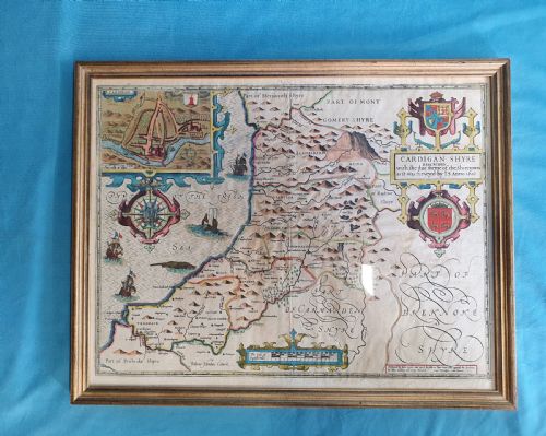
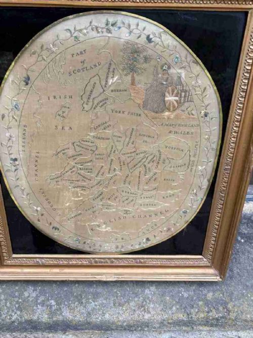
A historic wall map brings centuries of cartography and geography directly onto the interior wall through framed county plans, town views, and world charts.
Listings feature paper, silk, and glass components spanning the seventeenth century to the Victorian period.