






Historic Paper Print
A historic paper print offers a tangible fragment of cartography and fine art, capturing centuries of geography and history in ink and watercolour on aged paper.
Historic Paper Print
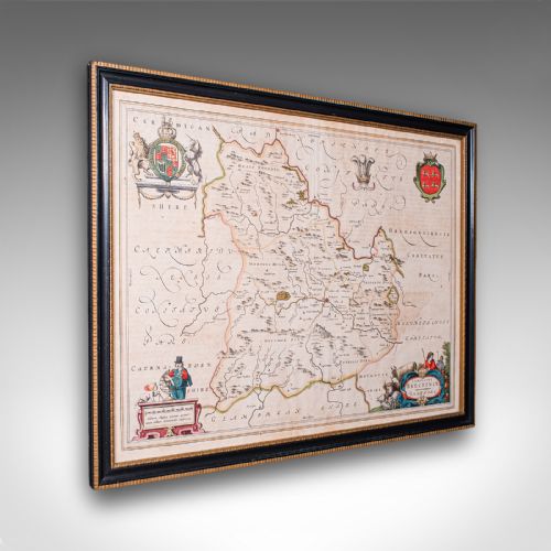
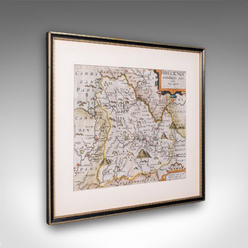
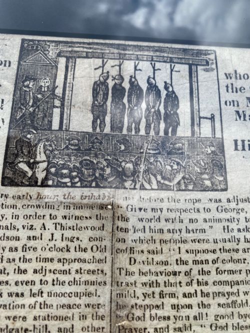
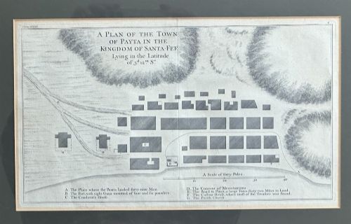
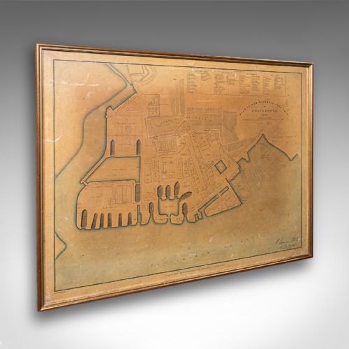
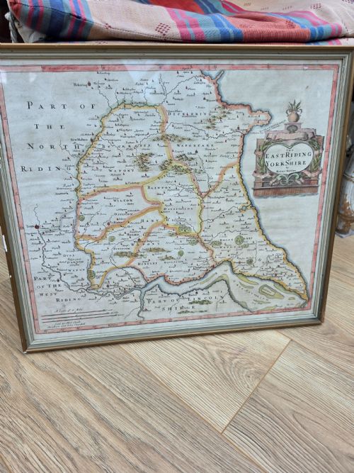
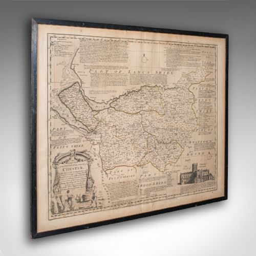
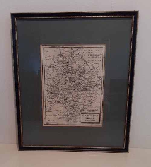
A historic paper print encompasses engraved maps, town plans, etchings and historical documents spanning from the seventeenth century through to the Victorian era. The selection leans heavily towards cartography, including county maps, world maps and regional atlases produced by notable cartographers.
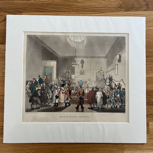
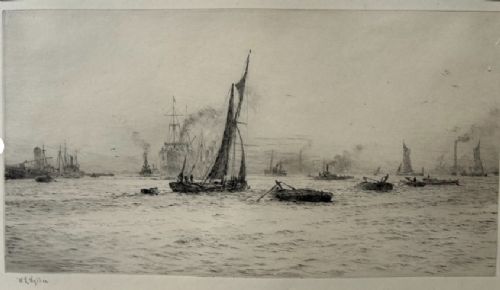
Alongside maps, the works include architectural engravings, pencil-signed etchings of river scenes, wallpaper panels and framed fine art prints. These objects originate from British, Dutch and Italian workshops, reflecting centuries of surveying, exploration and decorative illustration.
How they were made
The pieces rely primarily on ink applied to paper through copperplate engraving, etching or woodcut techniques, frequently finished with hand-applied watercolour. Many early maps and prints incorporate gold leaf highlights or are mounted in period frames made of gilt wood or timber.
The paper itself varies from robust early rag paper to later nineteenth-century stocks, often paired with protective wooden mounts and glass glazing to preserve the delicate inks and watercolours.
Historic Paper Print Retail Price Guide 2026
Typical asking prices for historic paper print among the pieces listed under this phrase on Sellingantiques today, from the lower quarter to the upper quarter. They describe what is for sale here now, not the wider market.
A long minuet danced at Bath offers an unusually extended view of eighteenth-century choreography stretching across paper.
What varies in quality
Quality rests in the clarity of the original impression, the precision of the hand-colouring and the preservation of the paper margins. Early seventeenth-century impressions pulled directly from freshly cut copperplates show crisp linework that softens in later reissues or worn plates.
The significance of the cartographer or artist also shapes the piece, alongside the integrity of the framing materials and the absence of heavy staining or trimming to the sheet edges.
Joan Blaeu·John Speed·Janssonius·John Cary·William Lionel Wyllie
The Historic Paper Print Glossary
- Cartography
- The science or practice of drawing maps. In these pieces, it represents the primary medium of historical record and decorative wall art.
- Etching
- A printmaking process where lines are incised into a metal plate with acid before ink is applied. This technique allowed artists to achieve fine tonal gradations.
- Engraving
- A method of cutting design into a hard plate using a sharp tool called a burin. The resulting lines hold the ink for pressing onto paper.
- Watercolour
- Pigments bound in a water-soluble medium, frequently brushed by hand onto printed maps and plates to add regional boundaries and decorative colour.
Historic Paper Print: Frequently Asked Questions
How should I frame an old map?
Historic paper prints require conservation-grade mounting materials to prevent acid transfer from standard backing boards. Keeping the piece away from direct sunlight protects the fugitive watercolours and ink from fading.
Using spacers between the paper and the glass prevents condensation and ensures the delicate sheet does not adhere to the glazing over time.
How do I identify a seventeenth-century map?
Seventeenth-century maps often feature Latin or early English text on the reverse side, describing the topography or history of the region depicted. The paper displays characteristic irregularities and chain lines from early handmade paper production.
Cartouche designs, strapwork and decorative borders from this era also differ significantly from later Georgian and Victorian cartography.
Are these prints hand coloured?
Many period maps and architectural plates received hand-applied watercolour washes shortly after printing to highlight boundaries, towns and decorative cartouches. This work was typically executed in the publisher's workshop by skilled colourists.
Close inspection under magnification reveals the brushstrokes and subtle pooling of pigment unique to manual application.
Where were these maps made?
The collection includes works originating from British, Dutch and Italian publishing houses and workshops. Dutch cartography from Amsterdam dominated much of the seventeenth-century trade through firms like Blaeu and Janssonius.
British county maps and town plans followed later through publishers such as John Speed, Robert Morden and John Cary.