





19th Century London Print
A 19th century london print captures the capital's evolving streets, docks, and river views through historic etching, engraving, and lithography.
19th Century London Print
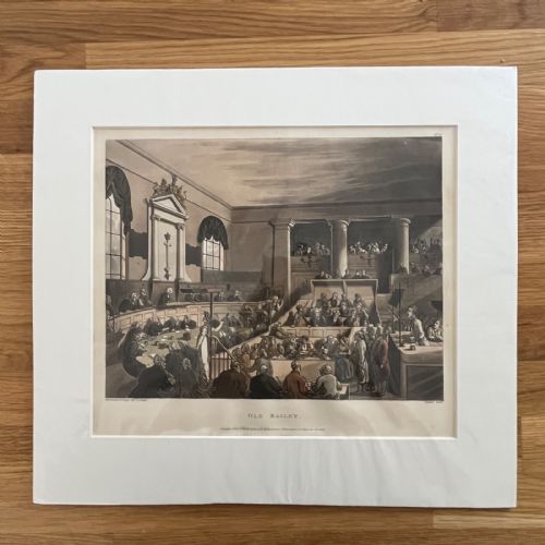
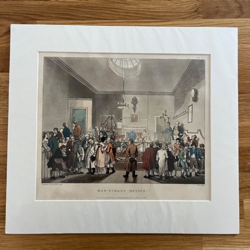
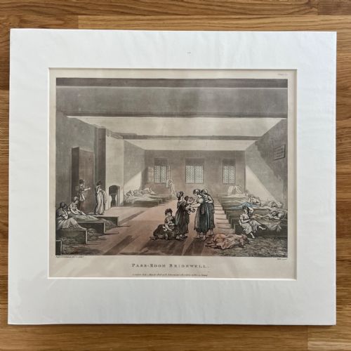
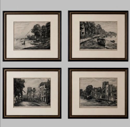
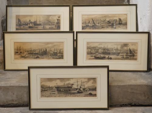
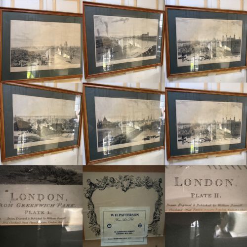
A 19th century london print encompasses topographical engravings, hand-coloured etchings, lithographs, and antique maps charting the city across the Georgian and Victorian eras. These works document specific urban landmarks, from Greenwich Park and the London Docks to Russell Square and the River Thames.
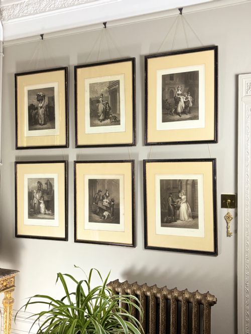
Buyers will most frequently encounter framed framed art prints and sets of panoramic plates or engravings depicting historical London views. The selections range from early nineteenth-century topographical surveys to later Victorian wood engravings documenting military marches and city growth.
Materials and Techniques
Production relied heavily on paper sheets worked with ink, watercolour washes, and occasionally gold leaf or gilt accents. Printers utilised steel and copper plates for crisp linear definition in etchings and mezzotints, alongside early lithographic stones for tonal breadth.
Framing utilised traditional timbers such as maple and burr walnut, often protected behind glass to preserve the delicate hand-coloured pigments and paper supports from atmospheric degradation.
19th Century London Print Retail Price Guide 2026
Typical asking prices for 19th century london print among the pieces listed under this phrase on Sellingantiques today, from the lower quarter to the upper quarter. They describe what is for sale here now, not the wider market.
Listings feature paper, glass, wood, and watercolour mediums spanning Georgian, Regency, and Victorian periods.
Evaluating Quality
Quality rests upon the crispness of the plate impression and the precision of any contemporary hand-colouring applied to the paper surface. Early impressions taken before the engraved lines show wear possess sharper architectural detail and deeper tonal contrast.
The integrity of the original paper support and the harmony of the framing materials further distinguish superior examples. Complete sets sharing uniform publisher details and matched historical framing elevate the archival value of the group.
William Day·Thomas G Appleton·T.A Prior·William Daniell·Willam Darton·R. Creighton
The 19th Century London Print Glossary
- Engraving
- A printmaking technique where an artist cuts lines directly into a metal plate using a burin. The resulting incisions hold the ink for transfer under high pressure onto paper.
- Lithography
- A planographic printing process based on the mutual repulsion of oil and water. Artists draw on limestone slabs or metal plates to produce tonal images.
- Etching
- A method where metal plates are coated with an acid-resistant ground and drawn through with a needle. Acid then bites the exposed lines into the metal before printing.
- Mezzotint
- A tonal printmaking process where the copper plate is roughened uniformly to produce rich dark areas. Scrapers and burnishers are then used to introduce lighter tones.
- Topography
- The detailed mapping and pictorial representation of specific geographical locations. In this context, it refers accurately to authentic views of London streets and rivers.
19th Century London Print: Frequently Asked Questions
How do I date a print?
Dating relies upon published inscriptions, watermark evidence in the paper, and stylistic indicators of the Georgian or Victorian periods.
Printers often included publication dates and publisher addresses directly beneath the image area, providing a reliable chronological anchor.
Were these originally hand coloured?
Many topographical prints and maps received watercolour washes by hand shortly after printing to enhance architectural and landscape details.
Careful inspection under magnification reveals the delicate brushwork characteristic of period studio colourists.
How should I display them?
These works require hanging away from direct sunlight to prevent the fading of printer's ink, watercolour pigments, and paper supports.
Maintaining stable indoor humidity levels prevents the timber frames and paper from warping over time.
What is the difference between a map and a view?
Maps offer overhead cartographic layouts of London streets, parishes, and fortifications drawn by surveyors and cartographers.
Views provide perspective imagery illustrating how specific buildings, docks, and parks appeared to contemporary observers.