











Vintage Cartography
Vintage cartography brings centuries of exploration and geography into a room through hand-engraved maps and globes.
Vintage Cartography
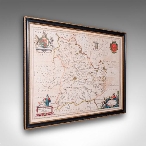
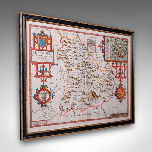
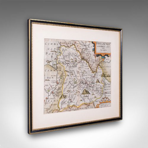
Vintage cartography encompasses framed county maps, town plans, regional charts, and terrestrial globes spanning from the seventeenth century through to the twentieth century. These items record the changing boundaries of regions such as Breconshire, Gloucestershire, and international territories including the Caribbean and Asia.
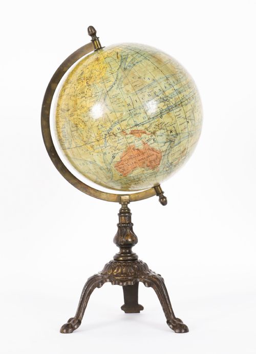
The most common pieces on this page are framed county maps produced by English and Dutch cartographers, alongside nineteenth-century table globes. Buyers select these items to anchor a study, library, or hallway with historical geography.
Materials and construction
Makers utilised heavy laid paper and ink, often enhanced with hand-applied colour, mounted within wood frames under glass. Globes combined plaster spheres covered in printed paper gores, supported by brass mountings and mahogany bases.
Engravers cut lines into metal plates before pulling impressions on hand presses, a technique that produced the crisp line work visible on seventeenth-century county maps and atlas plates.
Listings feature paper, brass, wood, and glass across periods from the seventeenth century to the twentieth century.
Quality factors
Quality rests upon the clarity of the plate impression, the precision of contemporary hand colouring, and the survival of the original margins on paper items. Crisp lines and legible Latin or English text distinguish superior impressions.
For globes, quality depends on the completeness of the gores, the stability of the plaster core, and the preservation of the varnish protecting the paper surface against darkening over time.
John Speed·Joan Blaeu·Robert Morden·Johannes Janssonius·Thomas Kitchin
The Vintage Cartography Glossary
- Cartography
- The science or practice of drawing maps. It encompasses county surveys, world atlases, and town plans.
- Gores
- Tapered printed paper strips applied to a sphere to form a terrestrial or celestial globe map.
- Atlas
- A bound collection of maps, often disbound over the centuries to yield individual framed sheets.
- Terrestrial globe
- A spherical model of the Earth mounted on a stand, showing continents, oceans, and trade routes.
Vintage Cartography: Frequently Asked Questions
How do I date an old map?
Dating relies on the cartographic evidence within the plate, including historical place names, dedication cartouches, and the publisher's imprint.
Paper characteristics, watermarks, and typography further assist in narrowing the decade of production.
Where should I hang framed cartography?
These framed maps suit studies, libraries, and hallways where lighting can be controlled to protect aged paper from direct sunlight.
Pairing them with traditional wood furniture complements their historical aesthetic.
How do I care for a terrestrial globe?
Keep globes away from direct heat sources and bright sunlight to prevent the paper gores and varnish from cracking or yellowing.
Dust gently with a dry, soft cloth without applying liquid cleaners to the surface.
What is the difference between a terrestrial and celestial globe?
Terrestrial globes represent the geography of the Earth, showing landmasses, oceans, and shipping routes.
Celestial globes map the night sky, illustrating constellations and stars relative to an Earth-centred perspective.