









Historic Cartography Art
Historic cartography art captures centuries of geography through engraved maps, offering a glimpse into how past generations mapped their world.
Historic Cartography Art
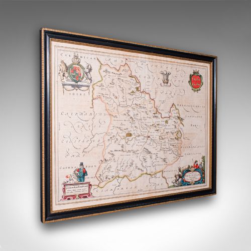
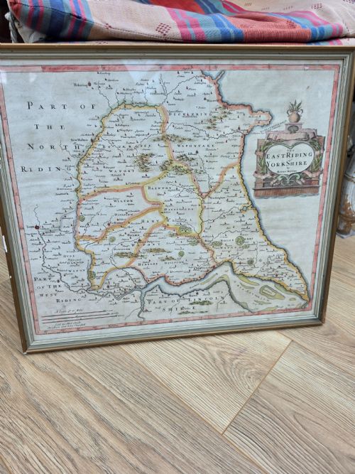
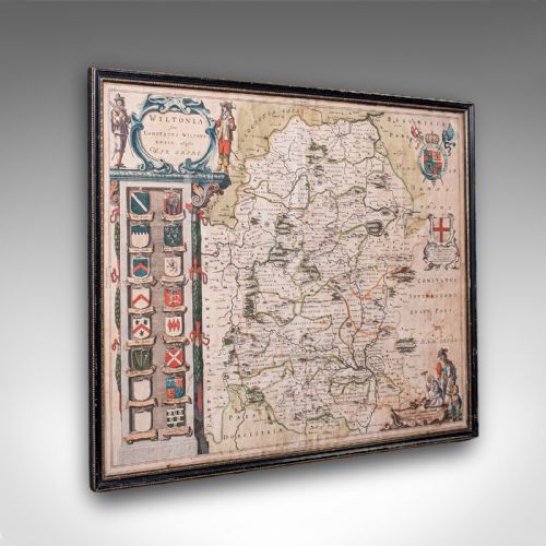
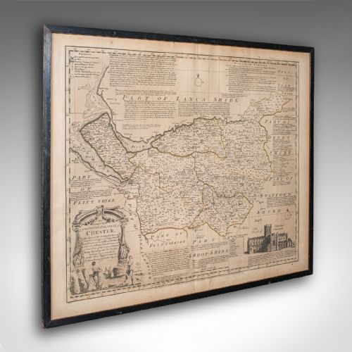
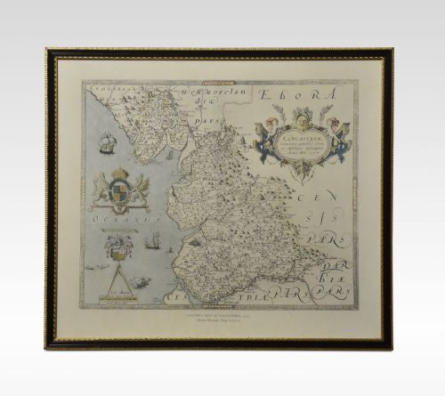
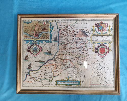
Historic cartography art comprises antique maps and framed cartography spanning from the seventeenth century through to the early twentieth century. Buyers seeking historic cartography art will encounter county maps, regional plans, and world maps produced by prominent cartographers.
The selection ranges from Dutch atlas plates to English county maps by notable makers. Seventeenth-century examples feature Latin text and decorative borders, while later eighteenth-century and nineteenth-century pieces reflect shifting geographical knowledge and printing techniques.
How They Were Made
These works rely on ink applied to paper through copperplate engraving, capturing fine topographical lines and intricate cartographic details. Many examples incorporate hand-applied watercolour to define boundaries, territorial divisions, and decorative title cartouches.
Framed pieces utilise wood, glass, and occasional giltwood or gold leaf surrounds to protect the paper sheets. The combination of engraved ink and subtle watercolour wash creates the distinctive visual character found in early maps.
Historic Cartography Art Retail Price Guide 2026
Typical asking prices for historic cartography art among the pieces listed under this phrase on Sellingantiques today, from the lower quarter to the upper quarter. They describe what is for sale here now, not the wider market.
Listings feature paper maps housed in wood and gilt wood frames, spanning the seventeenth, eighteenth, and nineteenth centuries.
What Varies in Quality
The distinction between tiers rests upon the precision of the original engraving and the clarity of the printed impression. Early copperplates yield sharper lines, whereas later printings or reductions exhibit softer definitions.
Condition of the paper and the retention of original hand-colouring elevate the standing of a piece. Examples retaining vibrant watercolour washes and crisp Latin typography represent the upper echelon of cartographic works.
Joan Blaeu·John Speed·Thomas Kitchin·Janssonius·William Hole·John Cary·J Harrison
The Historic Cartography Art Glossary
- Cartography
- The science or practice of drawing maps. This discipline combines geography, artistry, and historical record-keeping.
- Atlas
- A bound collection of maps. These volumes provided comprehensive geographical overviews for scholars and wealthy households.
- Cartouche
- A decorative frame enclosing the map's title, scale, or publisher details. These artistic elements often feature heraldry, figures, or botanical motifs.
- Copperplate engraving
- A printmaking technique where lines are incised into a copper sheet with a burin. Ink is pressed into the grooves and transferred to paper under pressure.
- Latin
- The language frequently utilised for text and descriptions on seventeenth-century maps. Its presence often indicates continental European publishing origins.
Historic Cartography Art: Frequently Asked Questions
How do I date an antique map?
Dating relies upon internal evidence such as cartographic changes, dedication texts, and typographical styles. Publisher imprints and Latin naming conventions also provide reliable chronological markers.
Paper characteristics and watermark analysis help confirm the production era when explicit dates are absent from the plate.
Why are some maps coloured?
Hand-colouring was frequently applied after printing to enhance visual appeal and distinguish between regional boundaries or territories. Contemporary or later watercolours were added by specialists to meet buyer preferences.
Uncoloured examples remain closer to their initial printing state, while coloured versions offer a more decorative presentation.
How should I frame historic maps?
Framing requires conservation-grade materials to protect fragile antique paper from light damage and acid degradation. Spacers should keep the glass from touching the paper surface directly.
Positioning pieces away from direct sunlight preserves the ink and watercolour pigments over time.
What is a county map?
A county map focuses specifically on local geography, settlements, and administrative divisions within a country. British county maps often depict roads, hundreds, and prominent local estates.
These detailed regional studies served administrative and travel purposes for local landowners and merchants.