

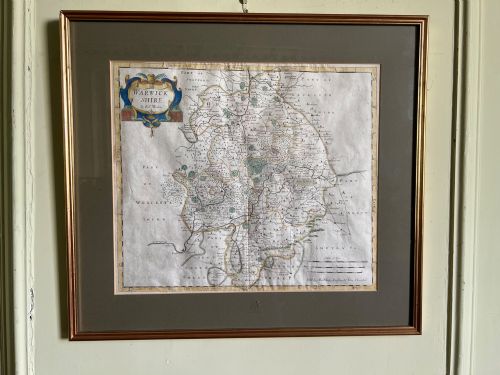
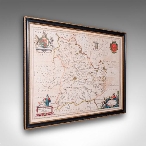
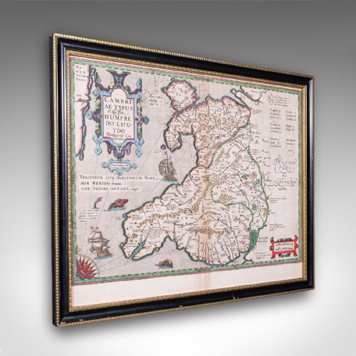
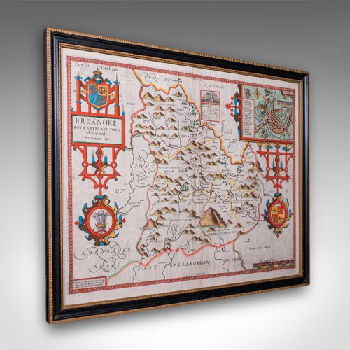
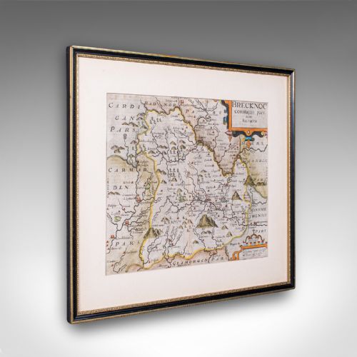











Framed Vintage Map
A framed vintage map brings centuries of geography and copperplate engraving directly to the wall.
Framed Vintage Map
When you search for a framed vintage map, you encounter historical cartography originating from the seventeenth century onward, presented behind glass in wood frames. These pieces encompass county surveys, town plans, and continental charts published across the Georgian, Victorian, and Edwardian eras.
The selections on this page rely heavily on seventeenth-century county maps by cartographers like Robert Morden and John Speed, alongside later French, Dutch, and English atlas excerpts. Such works transform functional geographical records into decorative wall art suitable for studies and living spaces.
Buyers will find that many examples utilise hand-tinted watercolour applied over ink engravings on heavy paper, mounted within simple wooden mouldings. These formats preserve fragile paper while offering an immediate display option for collectors of antique cartography.
Materials and construction
Framing typically involves timber mouldings such as oak or gilt wood, paired with protective glass to secure the paper sheet. Backings often consist of older boards or modern conservation materials that support the fragile paper structure.
Framed Vintage Map Retail Price Guide 2026
Typical asking prices for framed vintage map among the pieces listed under this phrase on Sellingantiques today, from the lower quarter to the upper quarter. They describe what is for sale here now, not the wider market.
Cartographers frequently filled uncharted blank spaces with sea monsters, sailing ships, and elaborate royal coats of arms to delight viewers.
Quality variations
Quality rests upon the clarity of the original ink strike from the copperplate and the precision of any contemporary hand watercolour. Crisp plate marks and deep impressions into the paper indicate a superior initial printing phase.
The condition of the paper substrate and the historical significance of the cartographer influence the standing of the piece. Well-preserved margins and minimal toning distinguish the finest examples from heavily trimmed or heavily restored sheets.
Joan Blaeu·Humphrey Llwyd·John Speed·Robert Morden·Johannes Janssonius·Thomas Jefferys·John Cary
The Framed Vintage Map Glossary
- Cartography
- The science or practice of drawing maps. This discipline includes both scientific measurement and artistic embellishment found in historical atlases.
- Cartouche
- A decorative frame enclosing the map title, scale, or publisher details. These ornamental elements often feature heraldry, figures, or flora characteristic of the period.
- Plate mark
- The indentation left on paper by the edge of a copper printing plate under pressure. Its presence confirms an authentic intaglio print technique.
- Atlas excerpt
- A single map sheet removed from a bound book of maps. Publishers compiled these volumes for reference or education across successive centuries.
Framed Vintage Map: Frequently Asked Questions
How do I date an old map?
Dating relies on internal evidence such as place names, publisher imprints, and stylistic markers in the cartouche. Historical changes in regional boundaries provide a precise window of publication.
Printers often updated plates over decades, meaning a style might persist long after the initial creation of the copperplate matrix.
Are these maps original or reproductions?
The listings consist of original antique engravings and woodblock prints produced during the periods stated. Close examination reveals plate marks and paper ageing consistent with historical printing methods.
Modern facsimile reproductions lack the impression depth and paper degradation expected from centuries-old artefacts.
How should I hang my framed map?
Select a wall space away from direct sunlight to prevent the watercolour pigments and paper from fading over time. Stable indoor humidity protects the paper and the wooden frame joints.
Ensure picture hooks match the weight of the timber and glass assembly to secure the piece safely.