







Framed Cartographic Art
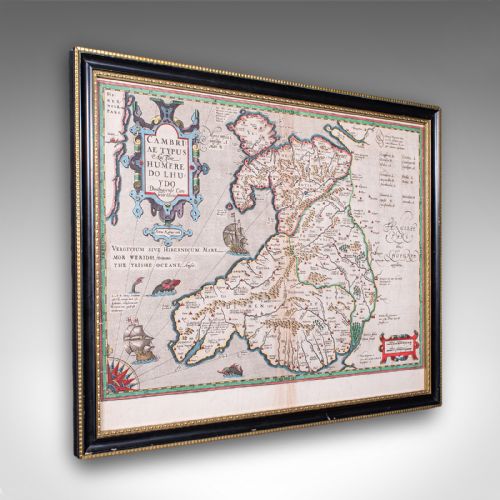
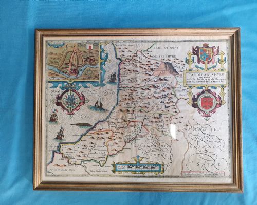
Framed cartographic art offers a window into past geography, presenting antique maps and map samplers preserved beneath glass within timber and gilt frames.
Framed Cartographic Art
Framed cartographic art encompasses wall maps, framed maps, and needlework samplers depicting geographical regions from the seventeenth century through the nineteenth century. These pieces record historical territories, counties, and nations such as England, Ireland, Italy, and North America.
The selection on this page relies heavily on Georgian and Victorian examples, alongside earlier seventeenth-century survivals. Buyers encounter county maps, regional surveys, and continental overviews executed on paper and silk.
Origin points span English, French, and Italian workshops, reflecting diverse cartographic traditions and publishing houses. Each item arrives ready to hang as wall art, enclosed in period-appropriate framing materials.
Materials and construction methods
Frames utilise wood, burr wood, gilt wood, and gold leaf, providing structural enclosure alongside glass protection. These housings range from simple timber mouldings to gilded decorative borders that complement the paper or silk within.
Framed Cartographic Art Retail Price Guide 2026
Typical asking prices for framed cartographic art among the pieces listed under this phrase on Sellingantiques today, from the lower quarter to the upper quarter. They describe what is for sale here now, not the wider market.
Cartographers occasionally populated empty ocean spaces with elaborate sea monsters, turning navigational hazards into decorative swimming menagerie.
Distinctions in quality and execution
Quality rests upon the clarity of the original printing or stitching, the legibility of geographical details, and the preservation of the paper or silk surface. Stronger examples display crisp cartographic lines and well-maintained hand-colouring.
The housing contributes significantly to the overall merit, distinguishing pieces retained in original or period frames from those in later replacements. The choice of materials, such as burr wood or gold leaf, elevates the presentation of the cartographic work.
Robert Morden·Thomas Kitchin·Colton·Emanuel Bowen·J. Duncan
The Framed Cartographic Art Glossary
- Cartography
- The science or practice of drawing maps. This discipline underpins all items categorised under framed cartographic art.
- Needlework sampler
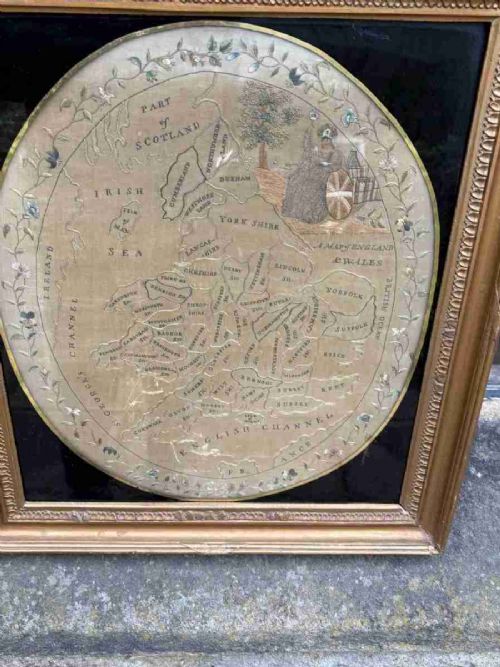
- A piece of textile work produced to demonstrate skill in embroidery or stitching. In this context, some examples map geographical territories.
- Gilt wood
- Wood coated with a thin layer of gold leaf or gold paint. It appears frequently in the framing of fine maps.
- Burr wood
- Wood featuring distorted grain growth that creates intricate patterns. It is selected for decorative veneer on frames.
Framed Cartographic Art: Frequently Asked Questions
What periods do these maps cover?
The selection spans from the seventeenth century through the Victorian era, capturing shifts in geographical knowledge and cartographic style.
Most pieces date from the Georgian and nineteenth-century periods, reflecting the output of prominent mapmakers and publishers of those times.
How should I hang framed maps?
Position them away from direct sunlight to protect the ink, paper, and any applied hand-colouring from fading over time.
Ensure the room maintains stable humidity levels to safeguard both the historical paper or silk and the wooden frame.
Are map samplers common?
Map samplers represent a distinct intersection of geography and needlework, where makers stitched regional details onto fabric.
They appear less frequently than printed paper maps, offering a domestic interpretation of cartography from past centuries.
How do I identify the age of a map?
Look to the paper stock, typographical styles, and cartographic boundaries depicted, which often reflect the geopolitical reality of the stated date.
Publisher attributions and engraved signatures on the map surface also provide clear indicators of the period of production.