




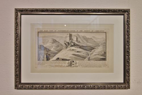


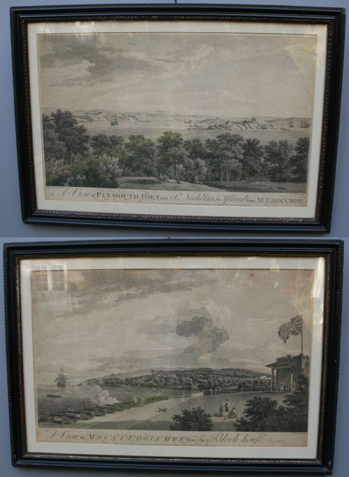


Antique Topographical Engraving
An antique topographical engraving captures a landscape, street view or map precisely as past centuries recorded it.
Antique Topographical Engraving
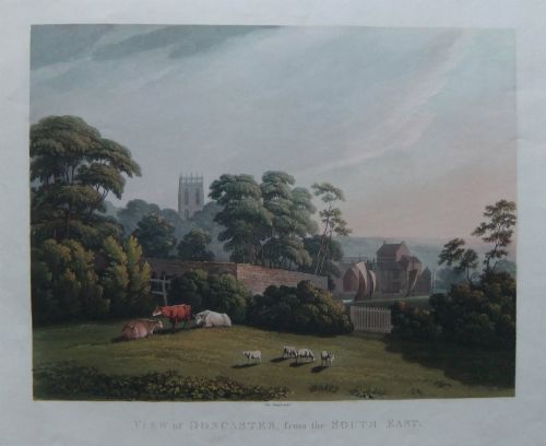
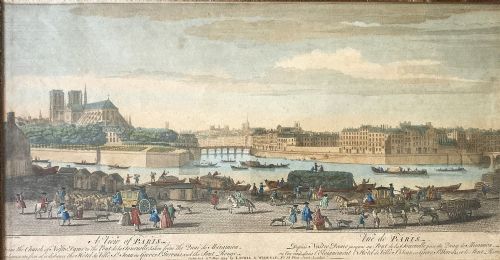
An antique topographical engraving presents detailed views of cities, rivers, country houses and regional maps. These works document landscapes and urban settings from the eighteenth, nineteenth and early twentieth centuries.
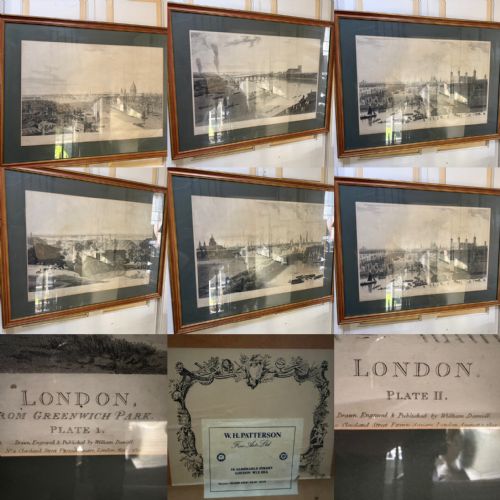
The pieces appearing on this page range from single town prospects and panoramic river views to bound maps and military formations. Buyers frequently encounter framed prints and wall maps spanning Georgian, Regency and Victorian periods.
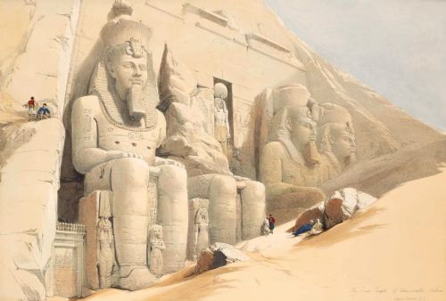
Subjects stretch from local English rivers and London panoramas to international scenes of Paris, the Caribbean and the Middle East. Each piece preserves a specific place through historical printing methods.
Materials and methods
Makers produced these works using printing ink pressed onto paper plates, often employing steel or copper engraving plates alongside etching, aquatint and lithography techniques. Many examples include original hand colouring or hand tinting applied directly over the ink.
Framed works utilise wood and glass to protect the delicate paper sheets, with certain pieces incorporating gold leaf accents within their framing. The combination of fine printing ink on aged paper defines the physical character of every item.
Antique Topographical Engraving Retail Price Guide 2026
Typical asking prices for topographical engraving among the pieces listed under this phrase on Sellingantiques today, from the lower quarter to the upper quarter. They describe what is for sale here now, not the wider market.
Listings feature paper works created using printing ink, watercolour and gold leaf, framed in wood and glass.
Assessing quality and execution
Quality rests in the crispness of the lines carved into the original plate and the precision of the ink transfer onto the paper. Finer impressions reveal intricate architectural details and sharp geographical markings without blurring.
The application of hand colouring separates standard plates from superior examples. Skilled tinting enhances the architectural and natural elements of a view without overpowering the underlying engraved lines.
John Bruce·David Roberts·William Daniell·Robert Morden·Edgar J Maybery·John Speed
The Antique Topographical Engraving Glossary
- Engraving
- A printmaking technique where an artist cuts lines directly into a metal plate using a sharp tool called a burin. The resulting grooves hold the printing ink that transfers to paper under pressure.
- Aquatint
- A variant of etching that produces tonal areas resembling watercolour washes rather than fine lines. Makers use this method to achieve subtle shades in skies and landscapes.
- Etching
- A process where acid bites lines into a metal plate that has been covered with an acid-resistant ground. This allows for fluid, expressive lines in the printed image.
- Lithography
- A planographic printing method based on the chemical repulsion of oil and water. The image is drawn on limestone or a metal plate with a greasy medium and then inked.
- Hand colouring
- The manual application of watercolour or tint to a finished black and white print. Artisans applied pigment by hand to enhance the visual appeal of maps and views.
Antique Topographical Engraving: Frequently Asked Questions
How do I identify the date of a topographical engraving?
Examine the paper quality, the style of the lettering, and any printed publication lines or dates located at the bottom margin of the plate.
Historical costume, architecture, and transport depicted within the image itself also provide clear clues to the decade of creation.
Were all these prints originally hand coloured?
Many plates were issued strictly in black and white or sepia ink, while publishers offered coloured variants at a higher cost.
Applied pigment is often contemporary to the printing date, though some sheets received colour washes at a later time.
How should I frame and hang antique paper prints?
Protect the paper by using acid-free mount board and framing materials to prevent discolouration and degradation over the years.
Keep framed works away from direct sunlight and high humidity to preserve the integrity of the paper and any applied watercolour.
What is the difference between a map and a topographical view?
A map utilises cartographic projections to chart boundaries, roads, and settlements from an overhead perspective.
A topographical view depicts a specific landscape, building or street scene from a human vantage point, emphasising pictorial detail.