



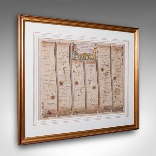

Antique Map Framing
Antique map framing brings centuries of cartography and hand-tinted copperplate engraving into domestic interiors through protected glass and timber.
Antique Map Framing
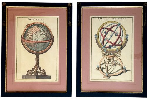
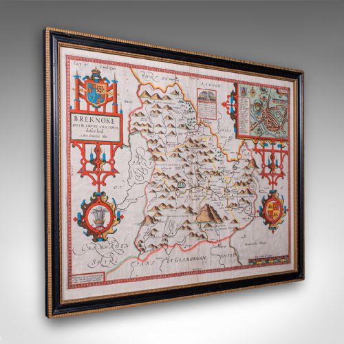
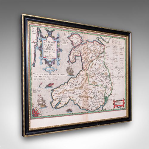
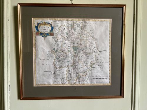
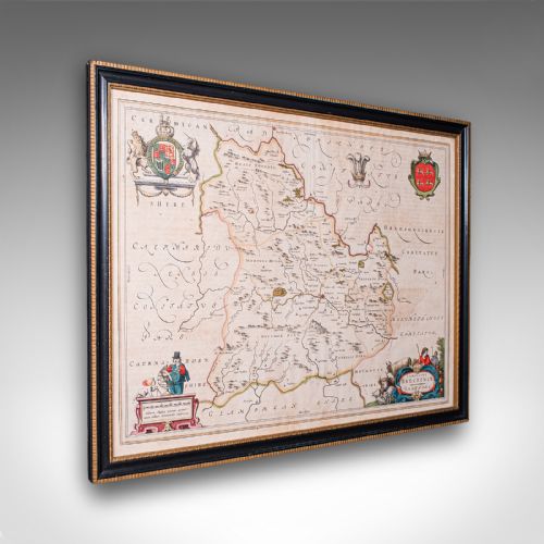
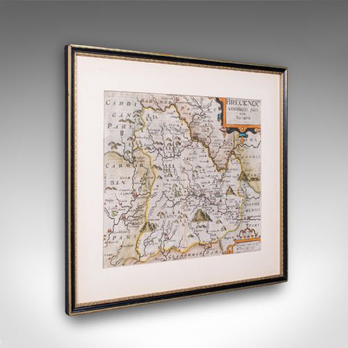
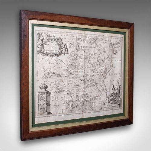
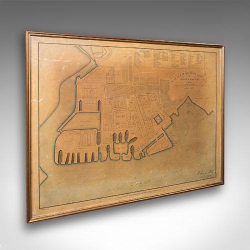
Antique map framing involves the presentation of historic geographical sheets, town plans and county surveys within period surrounds. These paper artefacts capture centuries of cartography ranging from seventeenth-century Dutch atlases to Georgian county engravings.
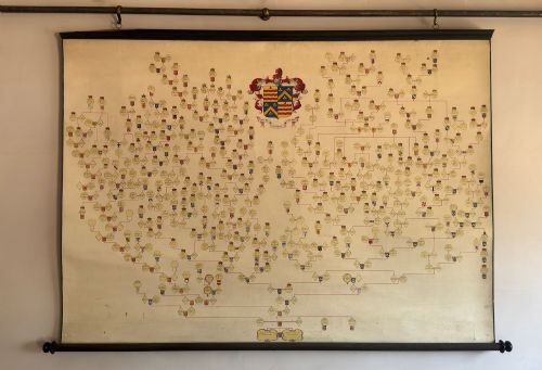
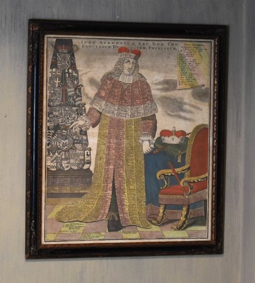
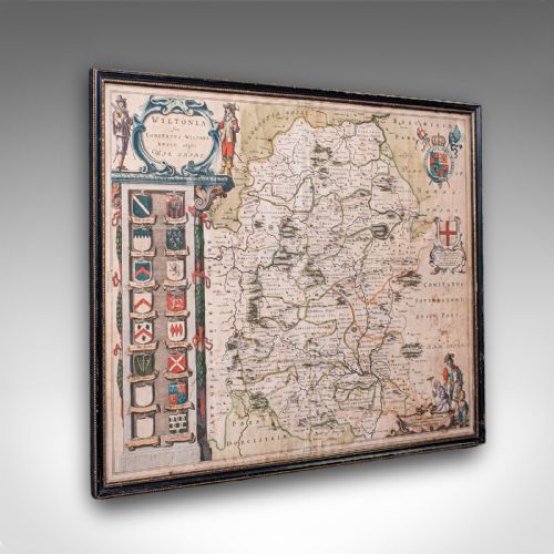
Most examples encountered on this page combine original copperplate engravings with timber mouldings and protective glazing. Buyers meet framed sheets spanning early cartographers like John Speed and Robert Morden alongside decorative needlework map samplers.
How They Were Made
Makers printed these maps from hand-carved copper plates onto laid or woven paper, frequently applying watercolour pigments by hand. Glaziers and framers housed these fragile sheets behind glass within frames constructed from oak, gilt wood and plain timber.
Mounting techniques often involved securing the paper sheet directly to linen backing or wooden supports to maintain tension across the framed surface. Simple wooden mouldings protect the edges while contemporary hanging hardware allows wall display.
Antique Map Framing Retail Price Guide 2026
Typical asking prices for map framing among the pieces listed under this phrase on Sellingantiques today, from the lower quarter to the upper quarter. They describe what is for sale here now, not the wider market.
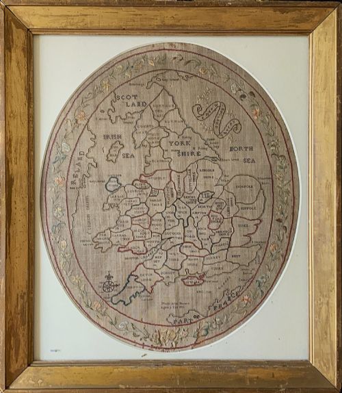
One nine-year-old named Mary Banion stitched the entire geography of England and Wales into cloth before the nineteenth century even hit its teens.
What Varies in Quality
Quality rests upon the cartographic significance of the map maker, the crispness of the original plate impression, and the preservation of the paper. Early impressions taken directly from copper plates display sharper line work than later nineteenth-century re-strikes.
The integrity of the framing materials also distinguishes pieces, with period timber mouldings and original glass holding greater historic harmony than later replacements. Original hand-colouring executed during the active period of the cartography elevates the visual depth.
John Speed·Joan Blaeu·Robert Morden·Johannes Janssonius·Thomas Kitchin
The Antique Map Framing Glossary
- Cartography
- The study and practice of making maps. This discipline forms the core subject matter of the framed paper works found across these listings.
- Copperplate engraving
- A printmaking technique where an image is incised into a copper sheet with a burin. Ink applied to the grooves transfers onto paper under pressure.
- Cartouche
- A decorative frame or tablet on a map enclosing the title, scale bar or publisher details. These ornate elements showcase the artistic skill of the period.
- Sampler
- A piece of embroidery or needlework produced by a beginner to demonstrate skill. In this context, they take the form of stitched geographical maps created during the Georgian era.
Antique Map Framing: Frequently Asked Questions
How do I date an antique map?
Dating relies upon the printed text, cartographer signatures, and historical boundaries depicted within the engraving itself. Reference guides and Latin inscriptions often point to specific publishing decades.
Paper characteristics, such as watermarks and chain lines visible through the glass, provide additional confirmation of the period of manufacture.
Are these maps original or reproductions?
The listings comprise genuine period engravings, original hand-coloured copperplate maps, and historic textile samplers from the seventeenth to nineteenth centuries. Close inspection reveals plate marks indented into the paper.
Modern facsimile reproductions lack the genuine plate impressions, paper ageing, and period framing methods characteristic of these antique artefacts.
How should I hang framed maps?
Hang these pieces away from direct sunlight to prevent the fading of iron gall inks and watercolour pigments applied to the paper. Stable room temperatures protect the paper fibres and wooden frames from warping.
Ensure the wall fixings match the weight of the timber and glass assembly to provide secure support for the framed cartography.
What is a needlework map sampler?
Needlework map samplers are textile artworks where makers stitched geographical outlines of counties or countries onto fabric using coloured threads. Young learners frequently produced these educational pieces during the Georgian period.
Framed behind glass, these embroidered maps combine geography with domestic needlecraft traditions from the late eighteenth and early nineteenth centuries.