





Historic Coloured Print
A historic coloured print brings centuries of cartography to the wall, offering finely tinted geographical detail from the seventeenth century onward.
Historic Coloured Print
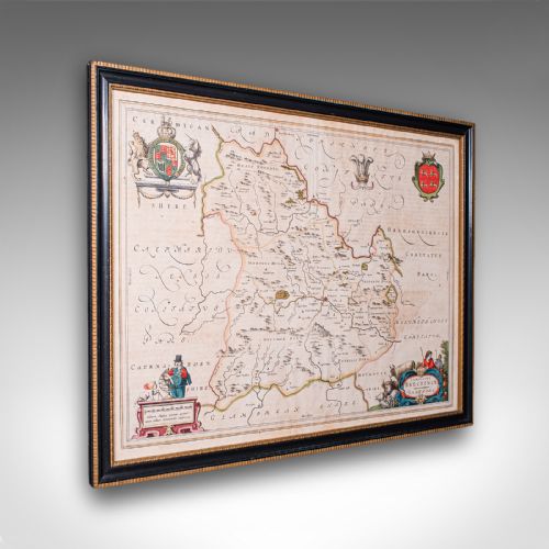
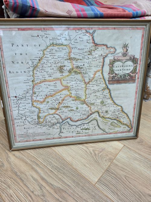
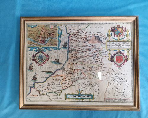
When you search for a historic coloured print, you are looking at antique maps and cartographic plates originating chiefly from the seventeenth century and the Georgian period. These wall art pieces depict counties, regions, and islands, often framed in wood or gilt wood.
The versions you are most likely to meet on this page include seventeenth-century county maps by notable cartographers alongside later Georgian maps. They combine early engraving techniques with hand tinting in watercolour.
The subject matter spans Welsh and English counties, as well as specific regional coastlines. Each framed map serves as both a historical document and a decorative piece of wall art.
Materials and construction
These works are printed using ink on paper, utilising engraved plates to transfer fine cartographic lines. Colour is added by hand using watercolour washes to highlight boundaries, titles, and decorative cartouches.
The completed sheets are set behind glass and housed within wood, gilt wood, or gold leaf frames. This traditional framing protects the delicate paper and watercolour pigments from environmental damage.
Historic Coloured Print Retail Price Guide 2026
Typical asking prices for historic coloured print among the pieces listed under this phrase on Sellingantiques today, from the lower quarter to the upper quarter. They describe what is for sale here now, not the wider market.
Listings feature paper, ink, and watercolour supported by wood and gilt wood frames.
Assessing quality and execution
Quality in these pieces is dictated by the clarity of the original ink engraving and the precision of the cartography. Clear impressions from well-preserved plates command greater attention than worn or heavily reworked printings.
The application of watercolour tinting also affects the piece. Skillful, contemporary hand colouring enhances the engraved details without obscuring the underlying lines, whereas heavy or later pigment can obscure the cartographer's work.
Joan Blaeu·John Speed·Thomas Kitchin·John Cary
The Historic Coloured Print Glossary
- Cartography
- The science or practice of drawing maps. In these pieces, it defines the detailed geographical and topographical content.
- Engraving
- A printmaking technique where an image is incised into a metal plate with a cutting tool. This holds the ink that transfers to the paper.
- Watercolour
- Artists' paint made with water-soluble binders and pigments. It is applied by hand to tint the printed map lines.
Historic Coloured Print: Frequently Asked Questions
What periods do these maps come from?
The pieces available range from the seventeenth century through the Georgian era and into the nineteenth century. These include seventeenth-century Dutch and British cartography alongside later English map production.
Each period brings distinct engraving styles, lettering, and decorative cartouches that help identify the age of the print.
How should I hang a framed map?
Protect the paper and watercolour pigments by keeping the framed piece away from direct sunlight and damp conditions. Standard wall art placement applies, using secure fixings suited to the weight of the wood or gilt wood frame.
Ensure the room maintains a stable temperature to prevent warping of the wooden frame or deterioration of the paper substrate.
What materials are used in the framing?
The framing typically consists of wood, gilt wood, or gold leaf surrounds enclosing glass that protects the paper print. These materials complement the traditional aesthetic of antique maps.
Original or period-appropriate frames help preserve the overall character of the piece while securing the fragile paper within.