






Antique Topographical Art
Antique topographical art maps, watercolours and engravings record specific places with the precision of observation.
Antique Topographical Art
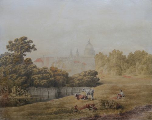
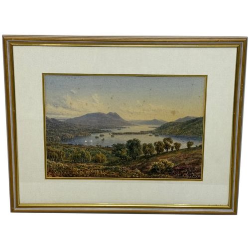
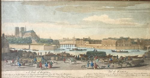
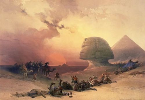
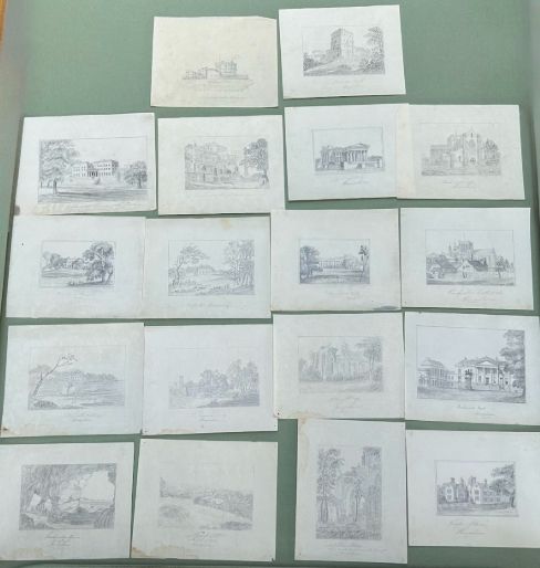
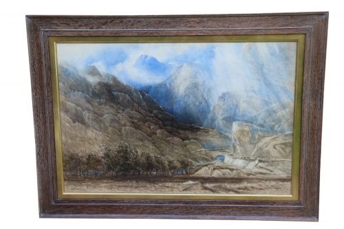
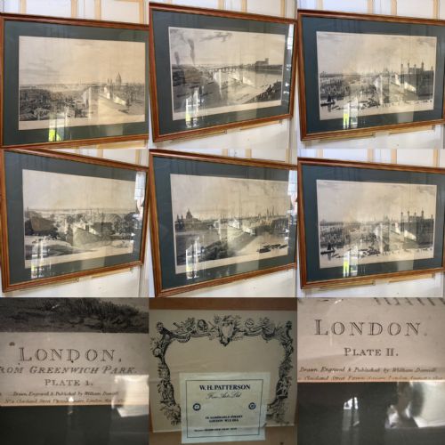
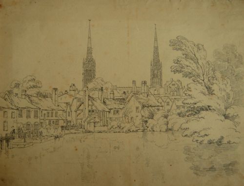
Antique topographical art comprises watercolours, oils, engravings, etchings and county maps that depict specific landscapes, towns, rivers and historical landmarks. These works serve as visual records of locations across Britain, Europe and the Middle East during the eighteenth, nineteenth and early twentieth centuries. Buyers encounter framed watercolours of Welsh passes, panoramic engravings of London and detailed hand-coloured county maps.
The pieces on this page span the Georgian, Regency, Victorian and Edwardian periods, reflecting changing techniques in recording the built and natural environment. Urban views range from grand cityscapes of Paris and Venice to local watercolours of Nottingham Castle and the River Thames. Military sketches, architectural studies and coastal scenes also feature among the landscape paintings and prints.
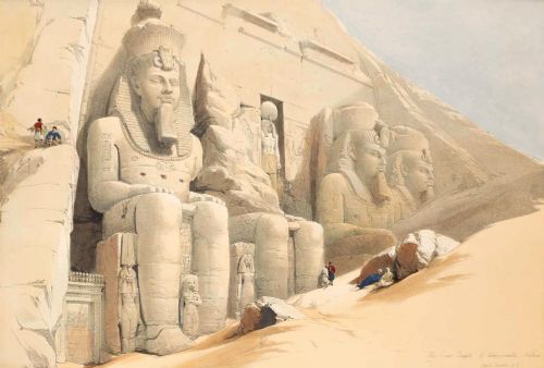
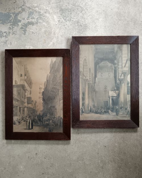
Makers and artists represented include David Roberts, Joseph Farington, William Daniell and Robert Morden, alongside skilled regional painters. Works appear in various formats, from individual framed sheets to sets of panoramic prints and tinted engravings. Each piece captures the topography of a specific site before modern industrial development altered the landscape.
Materials and techniques
Artists and printmakers utilised paper, canvas and board as supports for watercolours, monochrome inks, pencil sketches and oil paints. Watercolour pigment combined with gum arabic provided transparency and tone for landscape studies, while gouache added opacity to architectural details. Engravers and etchers worked copper or steel plates to produce line prints, which workshops then enhanced by hand colouring with washes of tint.
Print techniques evolved from eighteenth-century line engravings and aquatints to nineteenth-century lithography and drypoint etching. Lithographers such as Louis Haghe transferred drawings onto limestone blocks to multiply detailed views of Cairo and London. Frames constructed from wood, often finished with gilt or gold leaf, protected these works behind glass from environmental moisture and light damage.
Antique Topographical Art Retail Price Guide 2026
Typical asking prices for topographical art among the pieces listed under this phrase on Sellingantiques today, from the lower quarter to the upper quarter. They describe what is for sale here now, not the wider market.
Listings feature paper, glass, wood, watercolour pigment, ink, gilt and gold leaf across the nineteenth century.
Factors that govern quality
The fidelity of the perspective and the delicacy of the brushwork or line engraving determine the artistic merit of a topographical piece. Works by named draughtsmen or printmakers demonstrate superior handling of light, scale and architectural proportion compared to amateur productions. Original hand colouring executed with subtlety enhances the visual depth of printed views.
The condition of the paper support and the vibrancy of the pigments separate well-preserved examples from those degraded by light or damp. Contemporary framing, particularly original period mouldings with maker labels, preserves the historical integrity of the piece. Provenance relating to identifiable publishers or documented survey expeditions adds authority to maps and prints.
William Taylor Longmire·David Roberts·Thomas Cooper Moore·William Daniell·Robert Morden·Joseph Farington·Claude Muncaster
The Antique Topographical Art Glossary
- Aquatint
- A printmaking technique that produces areas of tone resembling watercolour washes. Printers achieve this by dusting a copper plate with resin before acid biting.
- Lithography
- A planographic printing process based on the chemical repulsion of oil and water. Artists draw directly onto a limestone slab or metal plate to produce multiple impressions.
- Cartography
- The science and practice of drawing maps. Antique examples combine geographical survey data with decorative cartouches and hand-tinted borders.
- Drypoint
- An intaglio printmaking method where an artist scratches lines directly into a metal plate with a sharp needle. This process raises a burr that creates a rich, velvety line when inked.
Antique Topographical Art: Frequently Asked Questions
How do I date an unsigned topographical watercolour?
Dating relies on examining the paper watermark, the style of the clothing worn by figures in the scene and the architectural changes visible in landmarks. Pigment analysis and the type of framing also provide useful chronological markers.
Comparative study with dated prints or documented works by regional artists helps narrow the decade of production. Inscriptions on the reverse of the paper or stretcher bars frequently record the specific date of the sketch.
What is the difference between an engraving and a lithograph?
Engravings involve cutting lines into a metal plate with a burin, creating crisp details and indented impressions on the paper. Lithography uses a flat limestone or metal surface treated to accept ink only where the artist drew.
Engravings generally exhibit fine, precise linear hatching, whereas lithographs often display softer tonal gradations resembling chalk or wash drawings. Magnification reveals the sharp edges of engraved lines compared to the granular matrix of lithographic ink.
Are antique county maps considered topographical art?
County maps combine cartographic survey data with decorative vignettes of local towns, seats and coats of arms. They function as both historical documents and visual representations of regional topography.
Publishers such as Robert Morden produced maps that recorded the administrative and physical geography of Britain. Hand-tinted borders and cartouches elevate these functional maps into decorative art objects suitable for framing.
How should I care for antique watercolours and prints?
Works on paper require protection from direct sunlight to prevent the fading of watercolour pigments and the yellowing of the paper support. Framing should utilise acid-free mounts and UV-filtered glass to maintain archival stability.
Display environments need stable relative humidity and moderate temperatures to deter mould growth and foxing spots. Hanging pieces away from heat sources and damp exterior walls preserves the structural integrity of the paper and frame.