


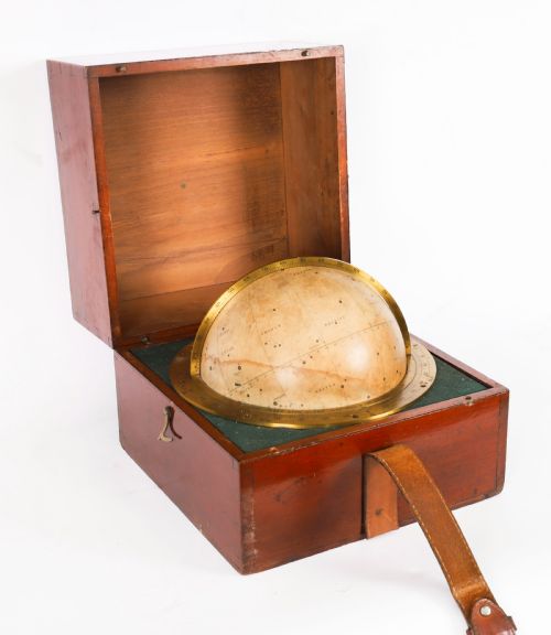


Antique Paper Map Globe
These antique paper map globe pieces bring centuries of cartography into the room, offering a tactile piece of geography to display.
Antique Paper Map Globe
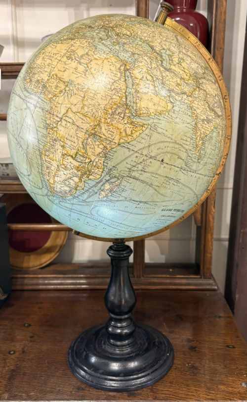
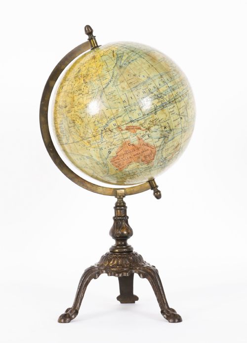
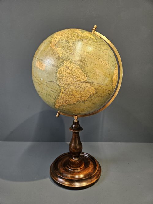
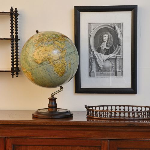
An antique paper map globe represents the earth or the stars through spherical models covered in printed gores, spanning the Victorian era to the mid-twentieth century. The pieces recorded here take several forms, including desktop globes, small pocket or portable celestial variants, and larger floor-standing models.
Makers produced these instruments to serve both scientific instruction and domestic ornamentation. Buyers commonly encounter terrestrial globes mounted on wooden, metal, or cast iron feet, alongside specialised physical and celestial examples.
The selection ranges from miniature four-inch classroom items to substantial twelve-inch and thirteen-inch reference spheres. Dating spans from the nineteenth century through the interwar period and into the mid-century modern era.
Materials and construction
The construction of these items relies on paper applied over plaster or paper mache cores to form the spherical body. Printed paper gores are carefully segmented and pasted by hand to align the cartography across the curve.
Supports incorporate brass meridian rings, wooden stands in materials such as mahogany and walnut, and cast iron bases. These varied mountings provide the structural framework that holds the paper sphere in place.
The documented periods span from Victorian scientific instruments and the nineteenth century through to mid-century modern designs.
Assessing craftsmanship and condition
Quality in these instruments depends upon the precision of the paper gore application and the clarity of the printed cartography. Finer examples retain crisp typography and accurate geopolitical boundaries without severe fading or paper loss.
The materials of the base and mounting hardware further distinguish the pieces, with solid hardwood stands and cast brass components indicating higher grade production. Intact original surface finishes on both the sphere and the stand elevate the overall standard.
The Antique Paper Map Globe Glossary
- Gore
- A lunate strip of printed paper designed to be pasted onto a sphere. Multiple gores join together to cover the map globe.
- Terrestrial globe
- A spherical model of the Earth. These pieces display continents, oceans, and political boundaries.
- Celestial globe
- A model of the celestial sphere. These show the apparent positions of stars and constellations in the night sky.
- Meridian ring
- The metal ring that encircles the globe. It holds the sphere and allows it to rotate on an axis.
Antique Paper Map Globe: Frequently Asked Questions
How do I clean an antique paper map globe?
Maintenance requires gentle dusting with a soft, dry cloth to protect the fragile paper surface. Moisture and chemical cleaners must be avoided entirely to prevent lifting the printed gores from the plaster core.
Keeping the globe away from direct sunlight prevents the paper and ink from fading over time. Careful handling of the brass and wooden stands preserves the original mounts.
What size do these globes come in?
The selection includes miniature models measuring just four inches across, suitable for small desk spaces. Larger reference pieces reach twelve or thirteen inches in diameter, offering greater cartographic detail.
Floor-standing versions provide an imposing presence in a room. Desktop globes sit neatly on tables, sideboards, or study desks.
How can I tell the date of a globe?
Dating relies on the political boundaries, place names, and railway lines printed on the paper gores. Examining the cartography reveals historical shifts that place the piece within a specific decade or reign.
Maker signatures, publication dates printed on the cartouche, and the style of the wooden or metal stand also provide chronological clues.
Where were these globes made?
Production centres span several European countries, with notable examples originating in London workshops and German factories. French makers also contributed significant terrestrial and scientific instruments during the nineteenth century.
Publishing houses and geographical institutes designed the specialised paper maps used to cover each sphere. These diverse origins reflect a widespread European tradition of cartographic craftsmanship.