16,740  PAGES BROWSED TODAY PAGES TODAY 25  ANTIQUES UPLOADED TODAY NEW ARRIVALS
ID #SA1220228
FOR SALE
£795
Email Buy
Save
Antique Wiltshire County Map, Dutch, Framed Cartography, Latin, Blaeu, C.1650
London Fine Antiques
for sale €930     $1,010
£795
London Fine Antiques

London Fine Antiques

Sellingantiques Verified Since Oct 2010
View Dealers Stock Page
  • About Us
    Fine antiques curated in england and sold worldwide
Relevant Links
Id #SA1220228
PDF SHARE
SAVE

Antique Wiltshire County Map, Dutch, Framed Cartography, Latin, Blaeu, C.1650

17th century
Description

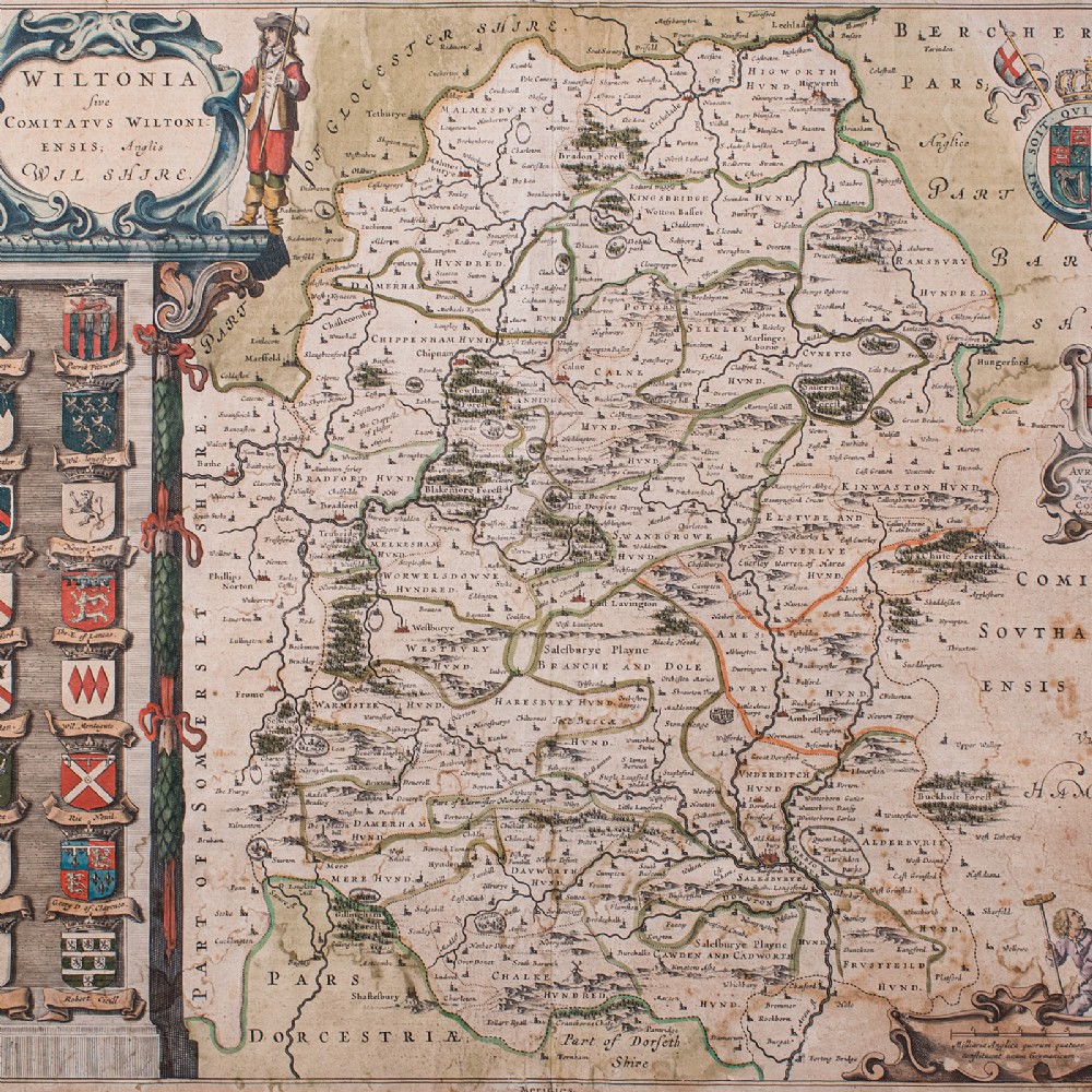
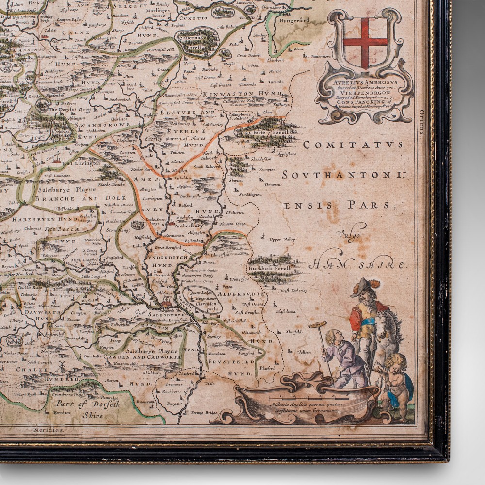
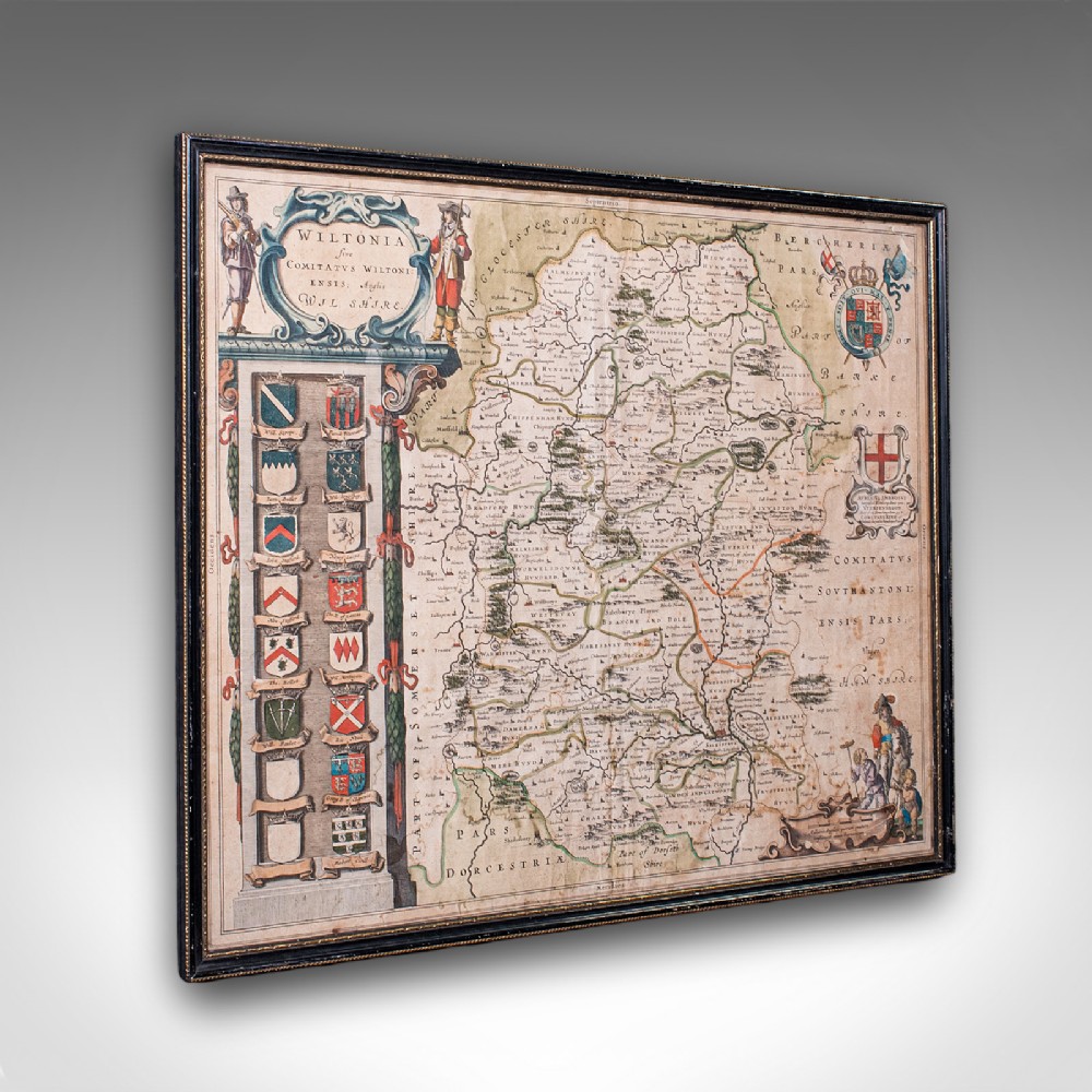
This is an antique county map of Wiltshire. A Dutch, framed atlas engraving of cartographic interest by Joan Blaeu (1596 - 1673), dating to the mid 17th century and later, circa 1650.

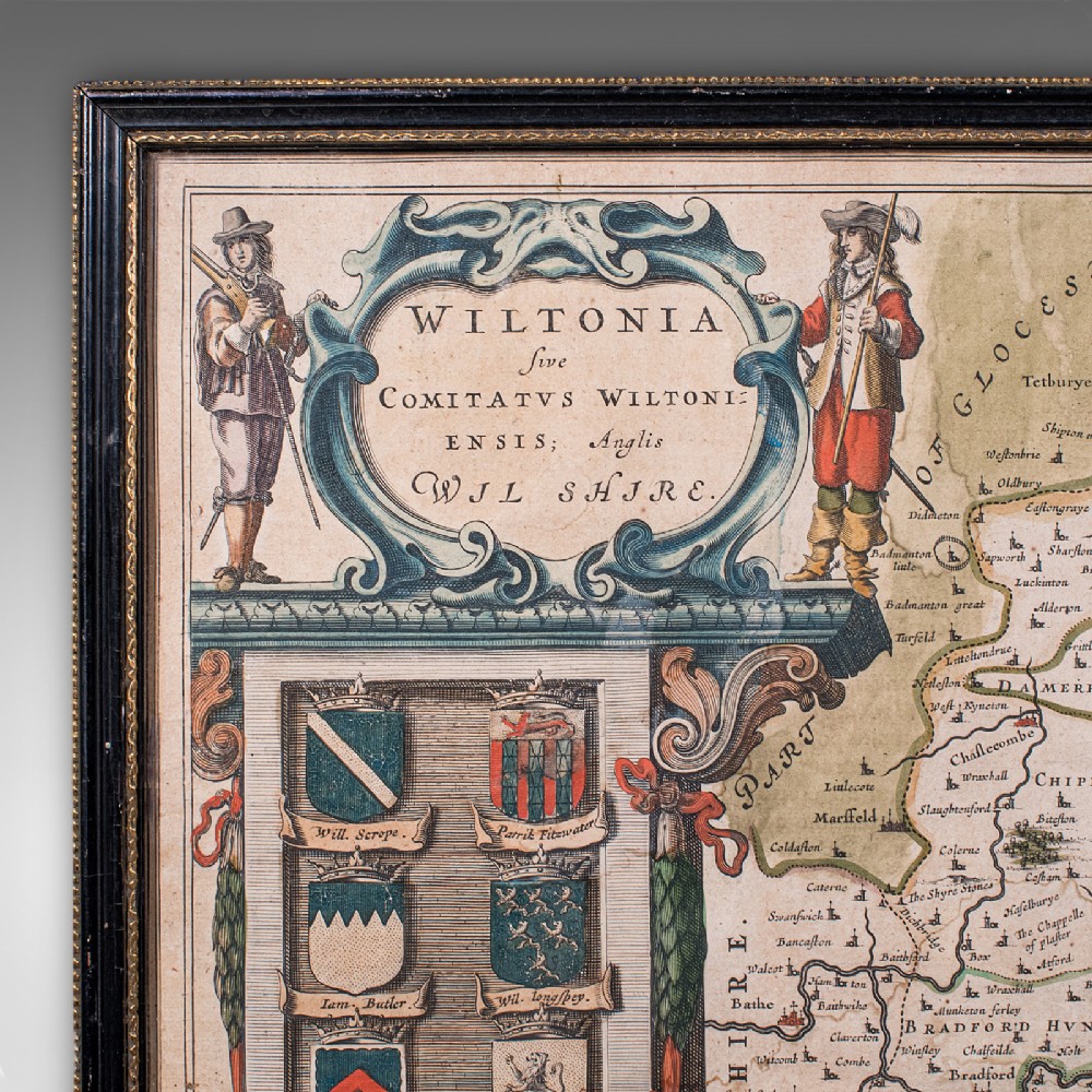
Full Title: Wiltonia Sive, Comitatus Wiltoni - Ensis; Anglis, Wil Shire
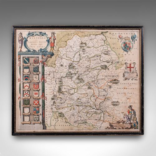
Superb 17th century lithography of Wiltshire and its county detail

Presents a desirable aged patina and in good order

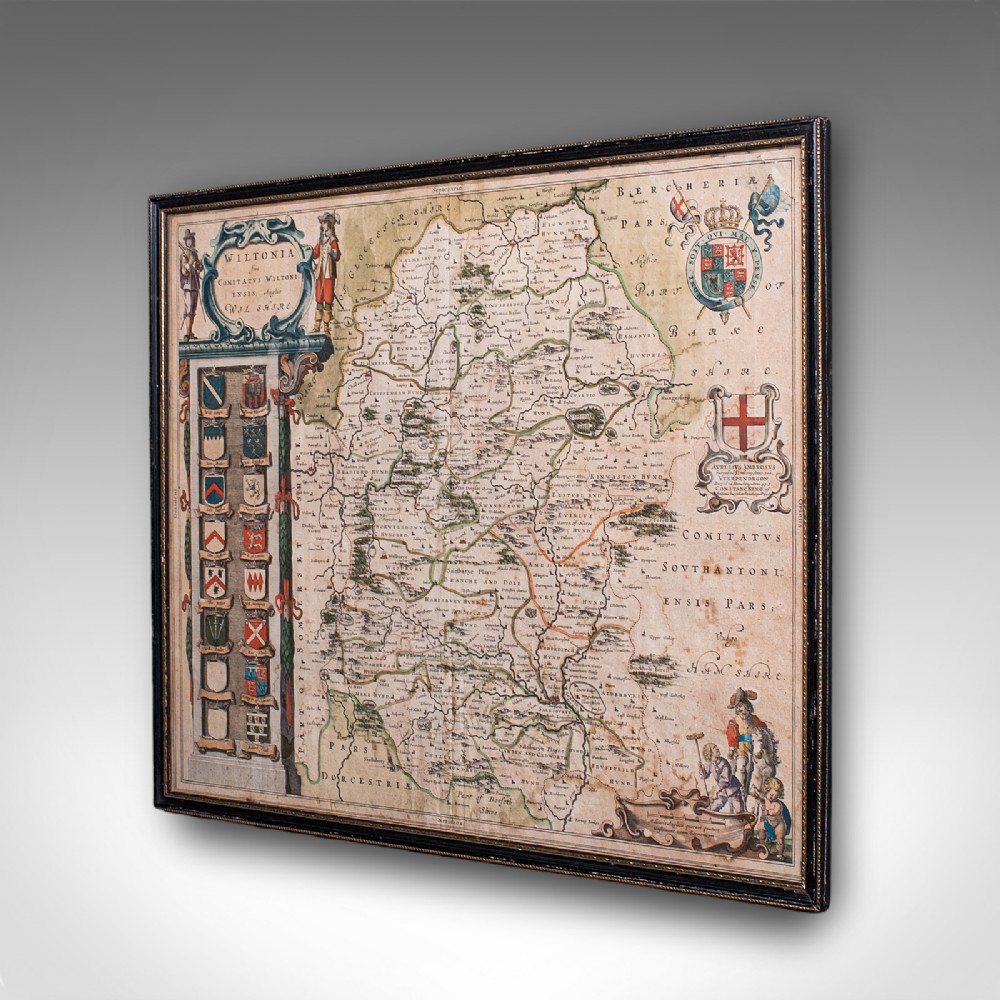
Fascinating cartography, appealingly set within a quality, later frame

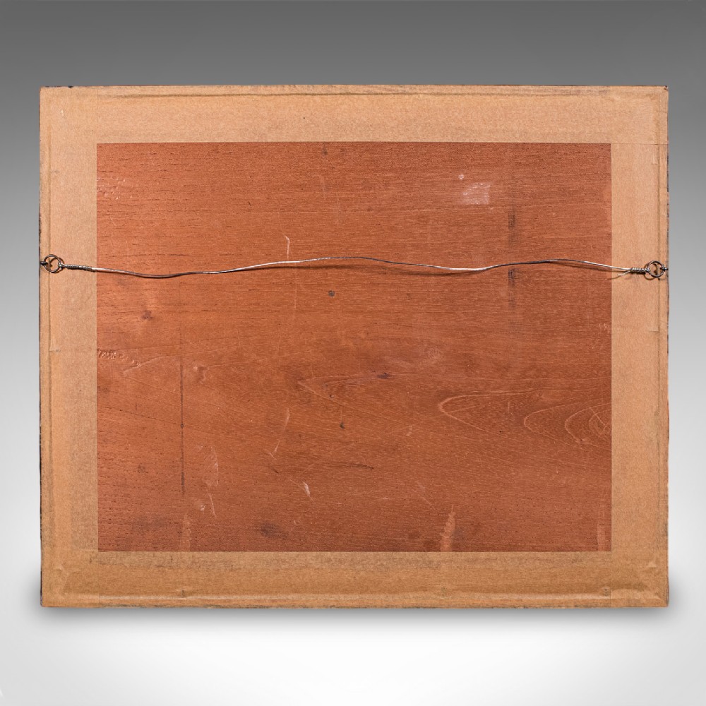
Ebonised and finished with gilt detail, the frame hosts mounting wire to the rear
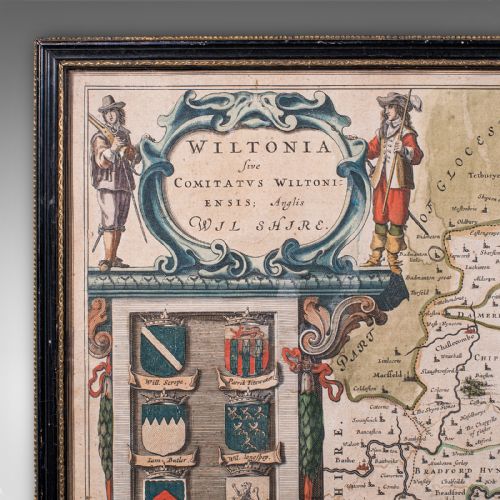
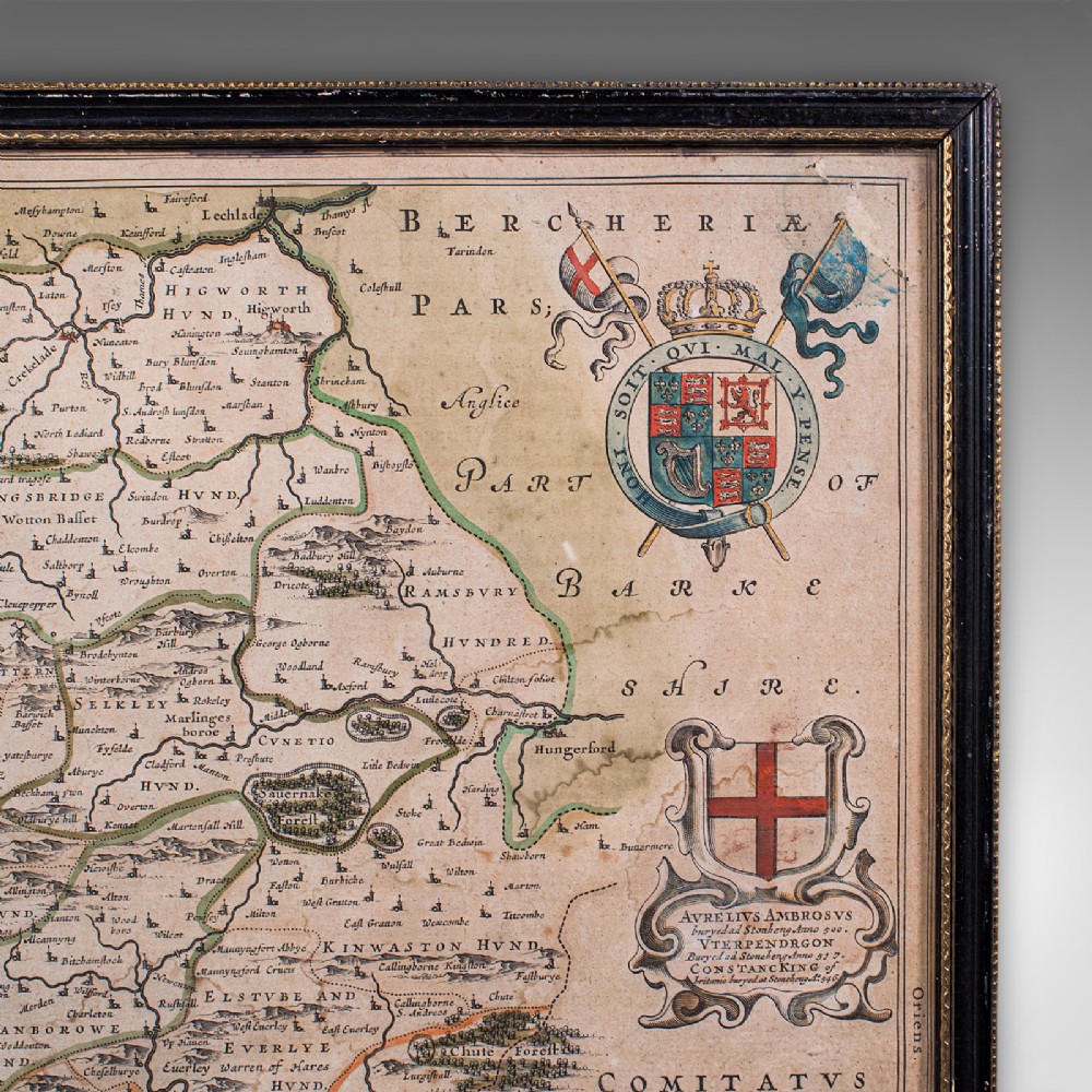
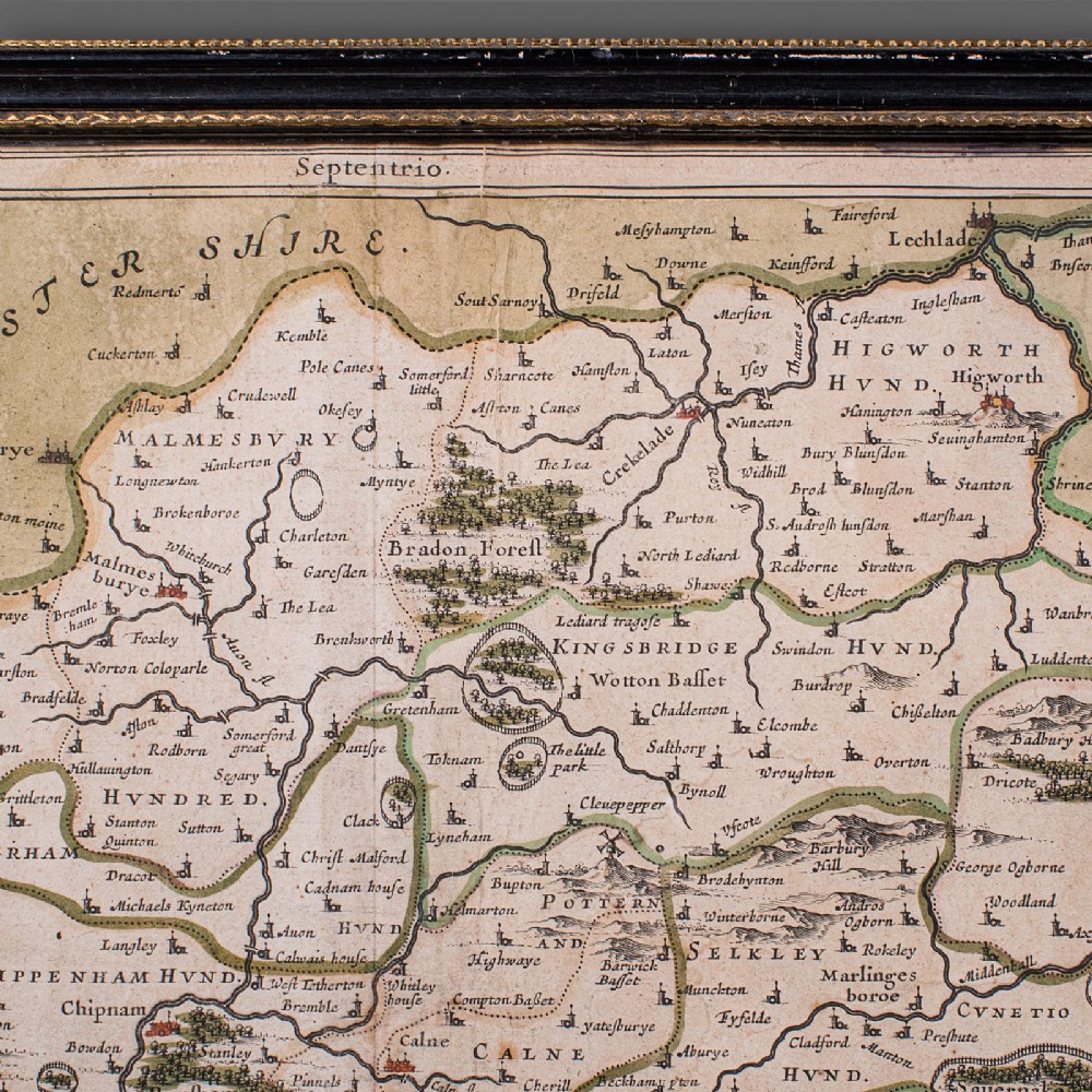
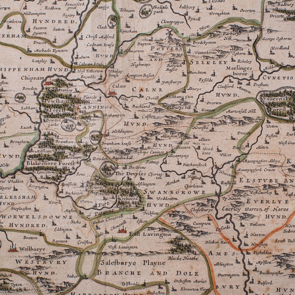
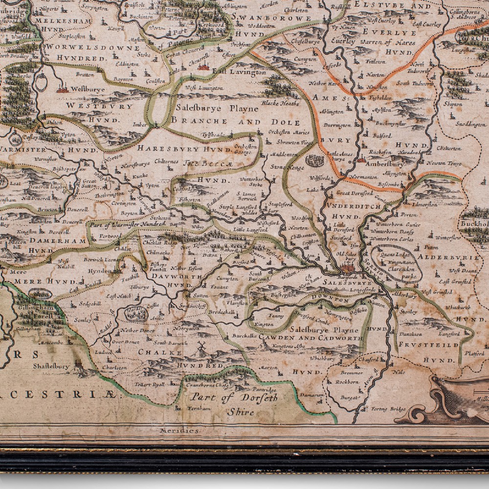
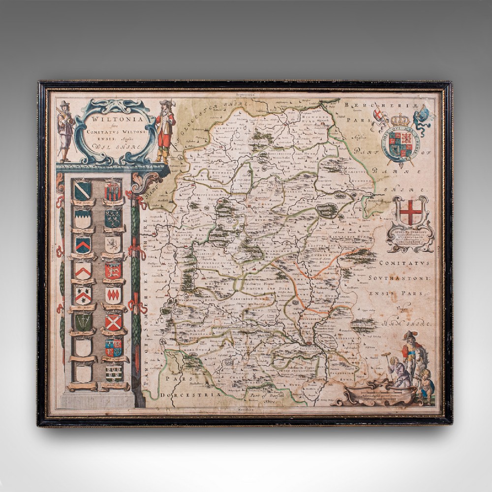
Handcoloured and annotated with excellent town and county detail

Mapped by the esteemed Dutch cartographer Joan Blaeu in high detail

Except from Blaeu's Theatrum Orbis Terrarum sive Atlas Novus

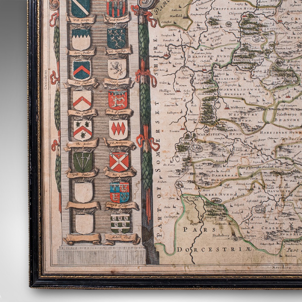
Accentuated with title cartouche, heraldic crests and figural detail
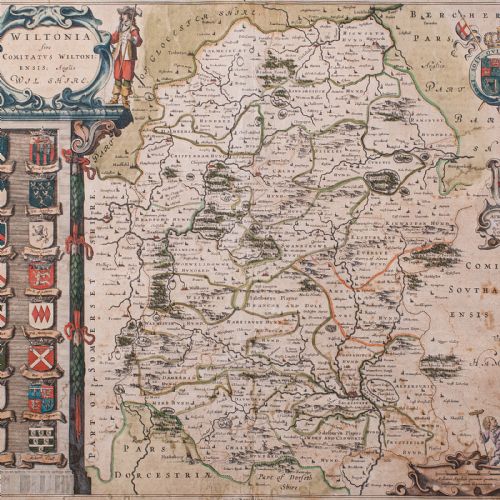
This is a fascinating antique county map of Wiltshire, with fine cartographic interest and period annotations in Latin. A treat for county residents or cartographic collectors. Delivered ready to display.

Dimensions:

Frame Width: 52.5cm (20.75'')

Frame Depth: 1.5cm (.5'')

Frame Height: 43.5cm (17.25'')

Map Width: 48cm (19'')

Map Height: 39cm (15.25'')

Physical Dimensions
Height
43.5cm (17.13")
Width
52.5cm (20.67")
Depth
1.5cm (0.59")
Declaration

London Fine Antiques has dated this Antique Wiltshire County Map to the 17th Century.

Reference Numbers
Sellingantiques Reference
SA1220228
Dealers Internal Reference
26102
Dealers Notes

What our clients have to say: https://www.londonfine.co.uk/pages/reviews

Description
This is an antique county map of Wiltshire.
A Dutch, framed atlas engraving of cartographic interest by Joan Blaeu (1596 - 1673), dating to the mid 17th century and later, circa 1650.
London Fine Antiques

Full Title: Wiltonia Sive, Comitatus Wiltoni - Ensis; Anglis, Wil Shire

fig 1. A framed seventeenth-century hand-coloured engraved map of Wiltshire featuring heraldic coats of arms along the left margin and Latin text.
fig 1. Antique Wiltshire County Map, Dutch, Framed Cartography, Latin, Blaeu, C.1650

Superb 17th century lithography of Wiltshire and its county detail

Presents a desirable aged patina and in good order

Fascinating cartography, appealingly set within a quality, later frame

Ebonised and finished with gilt detail, the frame hosts mounting wire to the rear

fig 2. A framed seventeenth-century hand-coloured engraved map of Wiltshire featuring heraldic coats of arms along the left margin and Latin text.
fig 2. Antique Wiltshire County Map, Dutch, Framed Cartography, Latin, Blaeu, C.1650

Handcoloured and annotated with excellent town and county detail

Mapped by the esteemed Dutch cartographer Joan Blaeu in high detail

Except from Blaeu's Theatrum Orbis Terrarum sive Atlas Novus

Accentuated with title cartouche, heraldic crests and figural detail

fig 3. A framed seventeenth-century hand-coloured engraved map of Wiltshire featuring heraldic coats of arms along the left margin and Latin text.
fig 3. Antique Wiltshire County Map, Dutch, Framed Cartography, Latin, Blaeu, C.1650

This is a fascinating antique county map of Wiltshire, with fine cartographic interest and period annotations in Latin. A treat for county residents or cartographic collectors. Delivered ready to display.

Dimensions:

Frame Width: 52.5cm (20.75'')

Frame Depth: 1.5cm (.5'')

Frame Height: 43.5cm (17.25'')

Map Width: 48cm (19'')

Map Height: 39cm (15.25'')

Height
43.5cm (17.13")
Width
52.5cm (20.67")
Depth
1.5cm (0.59")
Date of Manufacture

London Fine Antiques has dated this Antique Wiltshire County Map to the 17th Century.

Reference Numbers
Sellingantiques Ref
SA1220228
Dealers Internal Ref
26102
London Fine Antiques
Sellingantiques verified Since Oct 2010

Fine antiques curated in england and sold worldwide

Dealer Profile

You can view the stock and full dealer information on the London Fine Antiques Profile Page
Relevant Links
PDF SHARE
SAVE
A framed seventeenth-century hand-coloured engraved map of Wiltshire featuring heraldic coats of arms along the left margin and Latin text.
1 / 12
Archive I A framed seventeenth-century hand-coloured engraved map of Wiltshire featuring heraldic coats of arms along the left margin and Latin text.

Antique Wiltshire County Map, Dutch, Framed Cartography, Latin, Blaeu, C.1650
Archive II A framed seventeenth-century hand-coloured engraved map of Wiltshire featuring heraldic coats of arms along the left margin and Latin text. View II
Archive III A framed seventeenth-century hand-coloured engraved map of Wiltshire featuring heraldic coats of arms along the left margin and Latin text. View III
Archive IV A framed seventeenth-century hand-coloured engraved map of Wiltshire featuring heraldic coats of arms along the left margin and Latin text. View IV
Archive V A framed seventeenth-century hand-coloured engraved map of Wiltshire featuring heraldic coats of arms along the left margin and Latin text. View V
Archive VI A framed seventeenth-century hand-coloured engraved map of Wiltshire featuring heraldic coats of arms along the left margin and Latin text. View VI
Archive VII A framed seventeenth-century hand-coloured engraved map of Wiltshire featuring heraldic coats of arms along the left margin and Latin text. View VII
Archive VIII A framed seventeenth-century hand-coloured engraved map of Wiltshire featuring heraldic coats of arms along the left margin and Latin text. View VIII
Archive IX A framed seventeenth-century hand-coloured engraved map of Wiltshire featuring heraldic coats of arms along the left margin and Latin text. View IX
Archive X A framed seventeenth-century hand-coloured engraved map of Wiltshire featuring heraldic coats of arms along the left margin and Latin text. View X
Archive XI A framed seventeenth-century hand-coloured engraved map of Wiltshire featuring heraldic coats of arms along the left margin and Latin text. View XI
Archive XII A framed seventeenth-century hand-coloured engraved map of Wiltshire featuring heraldic coats of arms along the left margin and Latin text. View XII
FURTHER BROWSING

Visitors also looked at these ⇣

Enlarged Archival View
Telephone 0207 1833511
Location
The Antique Village
Hele
Exeter
Devon
EX5 4PW
United Kingdom
Verified Since Oct 2010
Items For Sale 939
Items Sold 5,598
London Fine Antiques
Verified Since Oct 2010
View Dealer Info
Location: The Antique Village, Hele, Exeter, Devon , EX5 4PW, United Kingdom
Verified
Oct 2010
For Sale
939
Sold
5,598
A framed seventeenth-century hand-coloured engraved map of Wiltshire featuring heraldic coats of arms along the left margin and Latin text.
Antique Wiltshire County Map, Dutch, Framed Cartography, Latin, Blaeu, C.1650
Ref: SA1220228
A framed seventeenth-century hand-coloured engraved map of Wiltshire featuring heraldic coats of arms along the left margin and Latin text.
Detail View 1
Detail View 2
Detail View 3
Detail View 4
Detail View 5
Detail View 6
Detail View 7
Detail View 8
Detail View 9
Detail View 10
Detail View 11
Archival Detail
Every single antique dealer on our platform is individually approved by our internal team. We verify their professional trade history, ethical standards, and photographic quality to ensure a secure, high-standard buying environment. Upon joining, every dealer agrees to a strict 9-point code of conduct. While issues can occasionally arise, our dealers typically resolve them swiftly and directly with the buyer. In fact, since our founding in 2002, Sellingantiques has only had to step in to help resolve an issue on roughly five occasions—a true testament to the quality of our dealers and their dedication to your happiness.
Our dealers are highly experienced in packing and shipping fragile, high-value antiques. Because you are in direct contact with the dealer, you will be able to easily go through all available shipping and insurance options together to ensure your item arrives safely.
Antiques are the ultimate green purchase. By choosing historical pieces over newly manufactured goods, you completely eliminate the carbon footprint of modern mass production while preserving exceptional, timeless craftsmanship.

During the seventeenth century, Dutch cartographers like Joan Blaeu led European map production, combining precise scientific surveying with fine artistic embellishments such as heraldic crests and decorative cartouches.

These maps were printed from copperplate engravings onto handmade rag paper using oil-based ink, after which colour details were applied by hand using watercolour pigments.

Authentic period maps exhibit distinct copperplate impression lines around the border, chain lines and watermarks in the laid paper, and age-consistent oxidisation or tone variation across the surface.

Framed cartographic prints are frequently hung above sideboards, desks, or mantels to add texture and historical context to contemporary, transitional, or traditional interior schemes.

To prevent fading and foxing, mount antique paper works behind UV-filtering glass using acid-free materials, and display them away from direct sunlight and areas of high humidity.
items
Add keywords to the filter
Price
£100
£250000
Era
Movements
Material
Origin
Stock Location
Freshness
Online Payments
Categories