Quiet Street Antiques of Bath has dated this piece to the 17th Century.
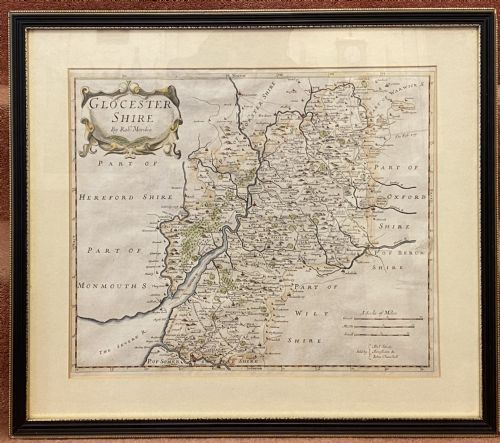
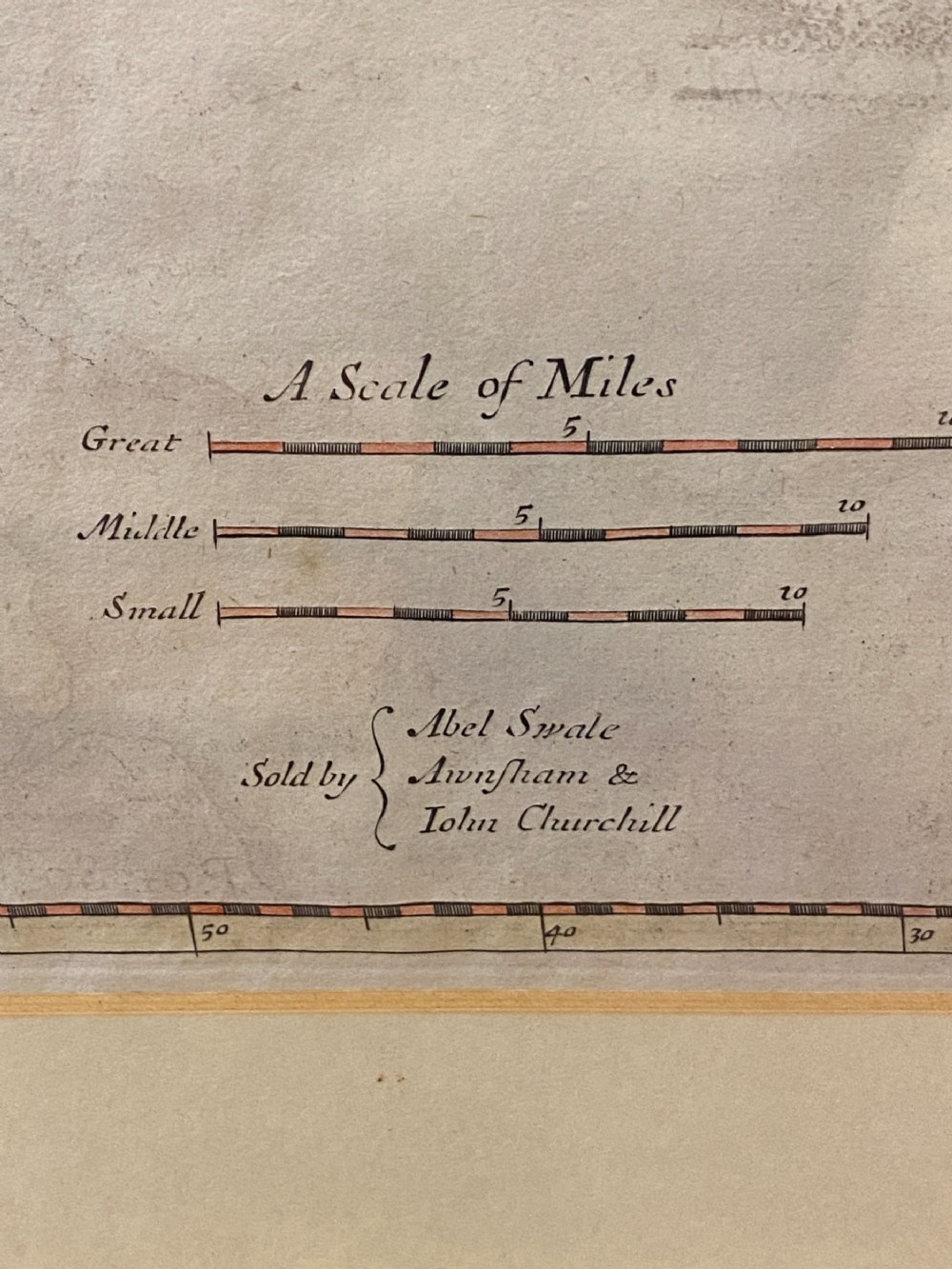
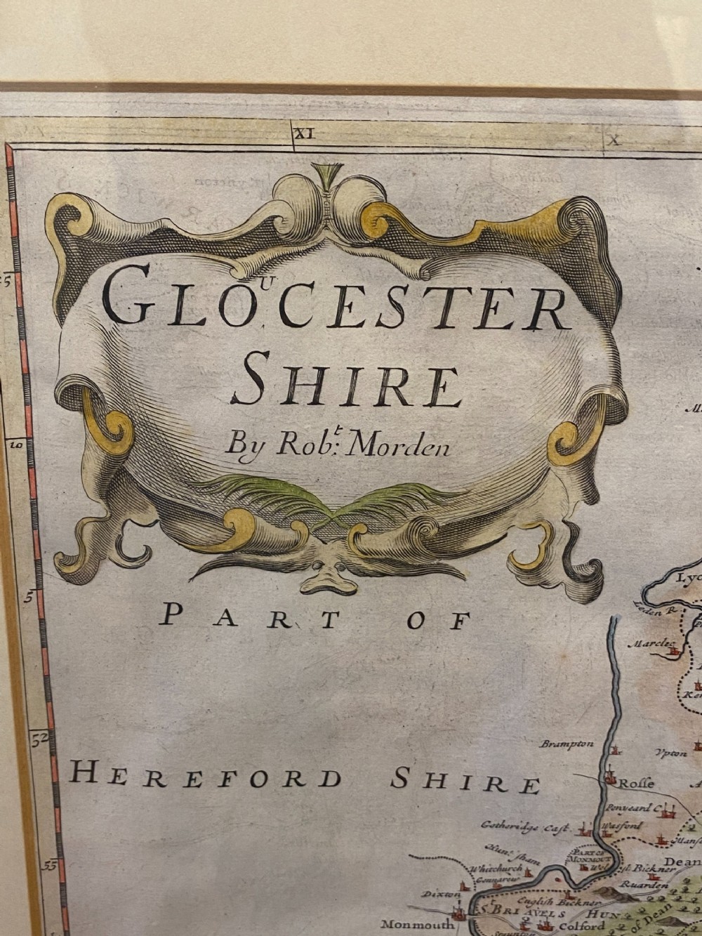
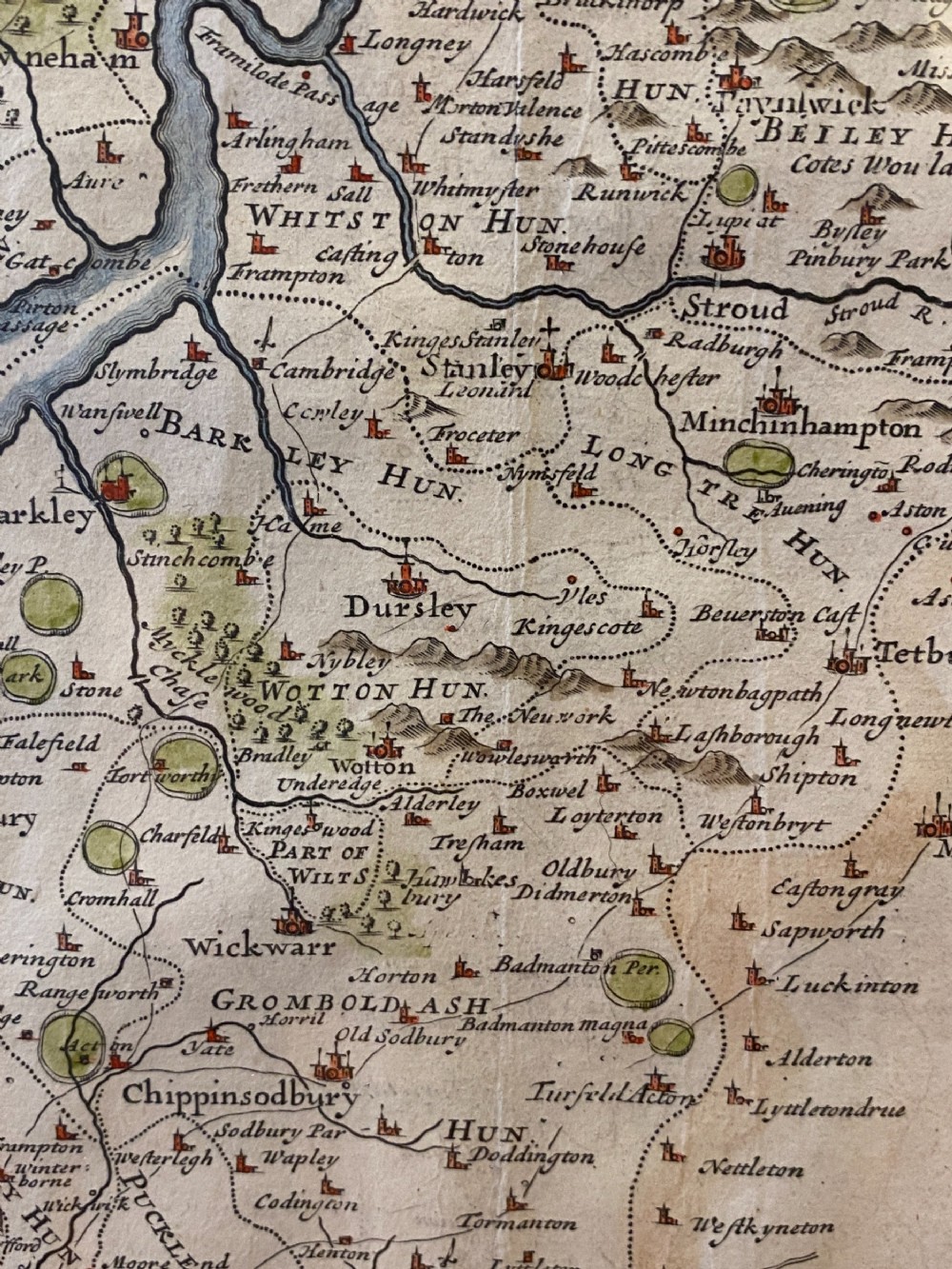
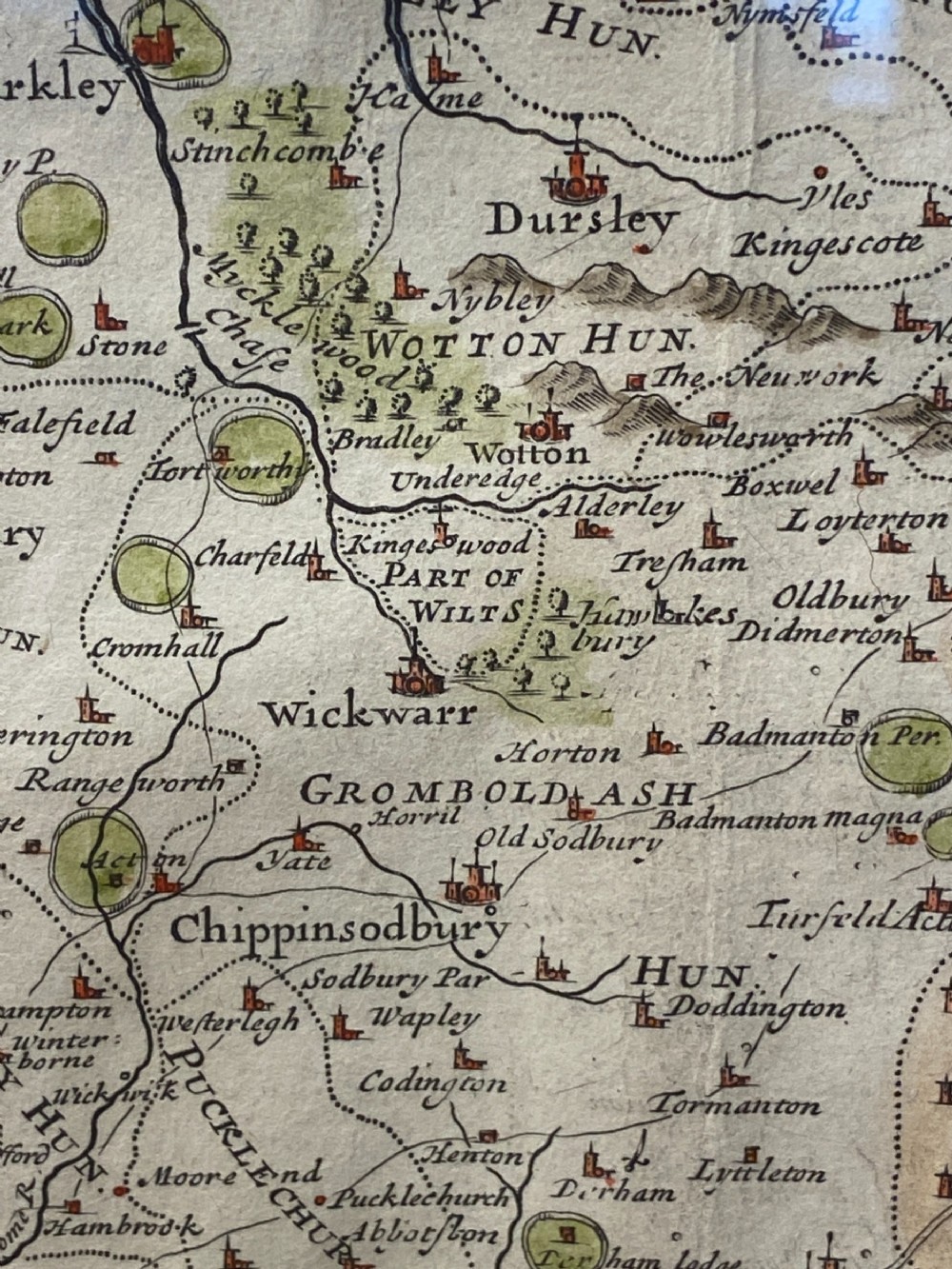
Robert Morden (1650-1703) was a prolific and respected cartographer of his time. He was based under the sign of the Atlas at premises in Cornhill and later New Cheapside, London. His best known maps were those of South Wales, North Wales and the English Counties (of which this is one). They were first published in Camdens "Britannia" in 1695 and subsequently reissued in 1722, 1753 and 1772. Each map was based on new information received from the Gentlemen of each county and were newly engraved each time. Each had a decorated cartouche and showed numerous placenames. It is particularly interesting to note how over the years these common placenames have changed or adapted into what we now know them as. He went on to make maps of the Colonies including several very rare maps of North America.
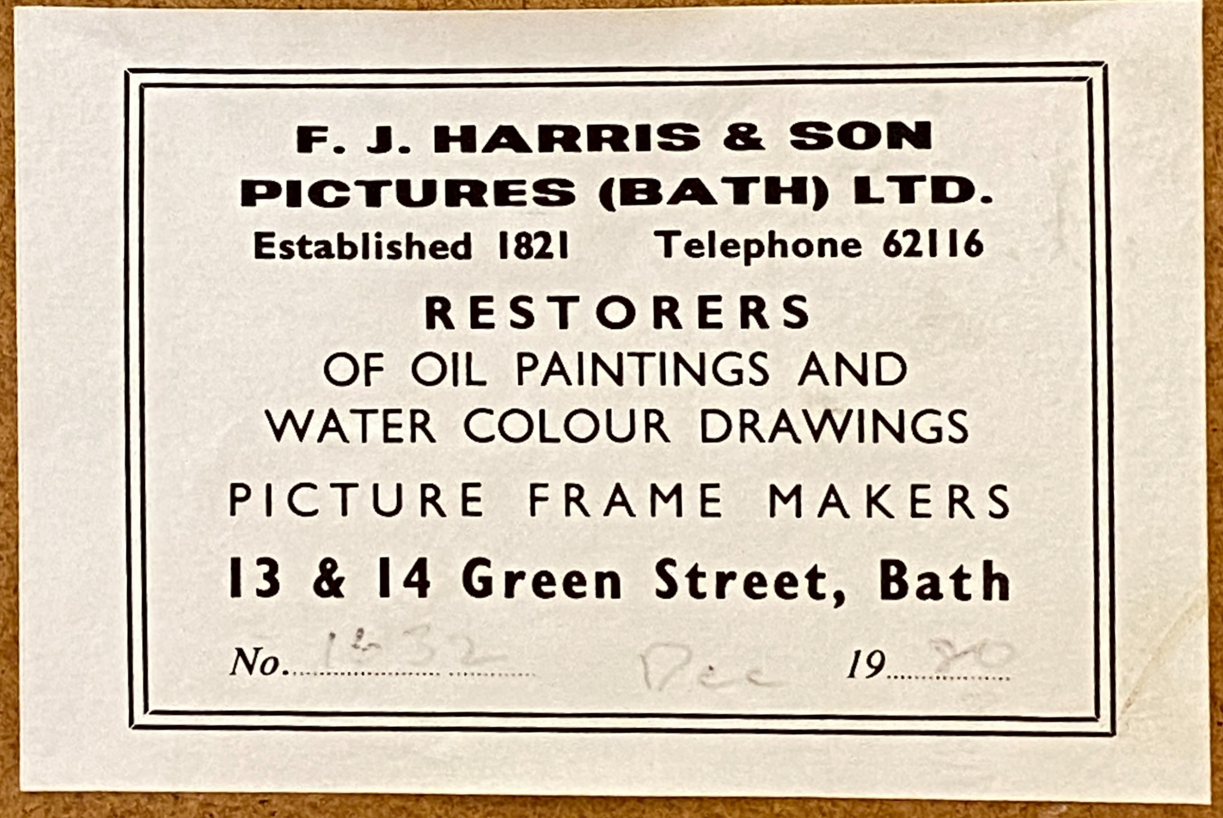
Dated: Possibly 1722. First Published 1695. Re-framed in Bath in 1980.
Dimensions (including frame): w: 22 inches x h: 19 inches (56 x 48 cms)
Quiet Street Antiques of Bath has dated this piece to the 17th Century.
Fine antiques at sensible prices
You can view the stock and full dealer information on the Quiet Street Antiques of Bath Profile Page
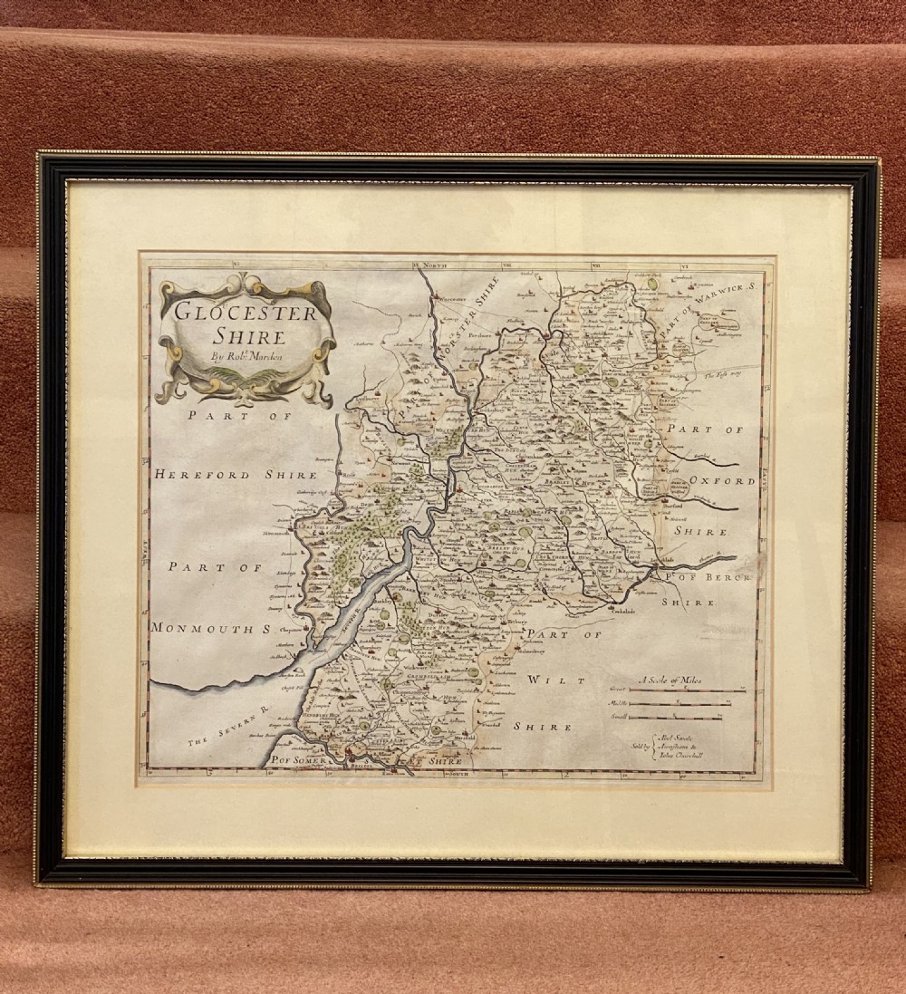
Print - Gloucestershire County Map by Robert Morden (1st Published 1695)