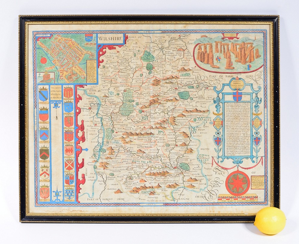
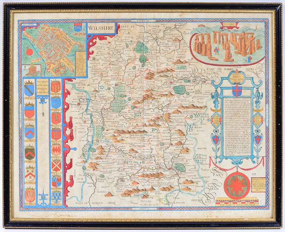
A wonderful and decorative John Speed map of Wiltshire, from ‘The Theatre Of The Empire Of Great Britiane’, which was the first collection of maps of Britain’s counties.
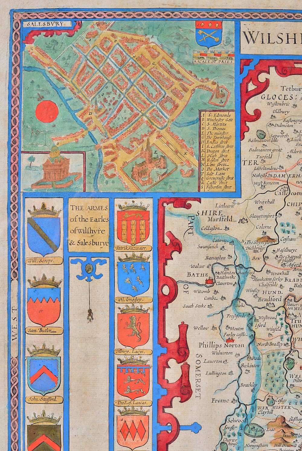
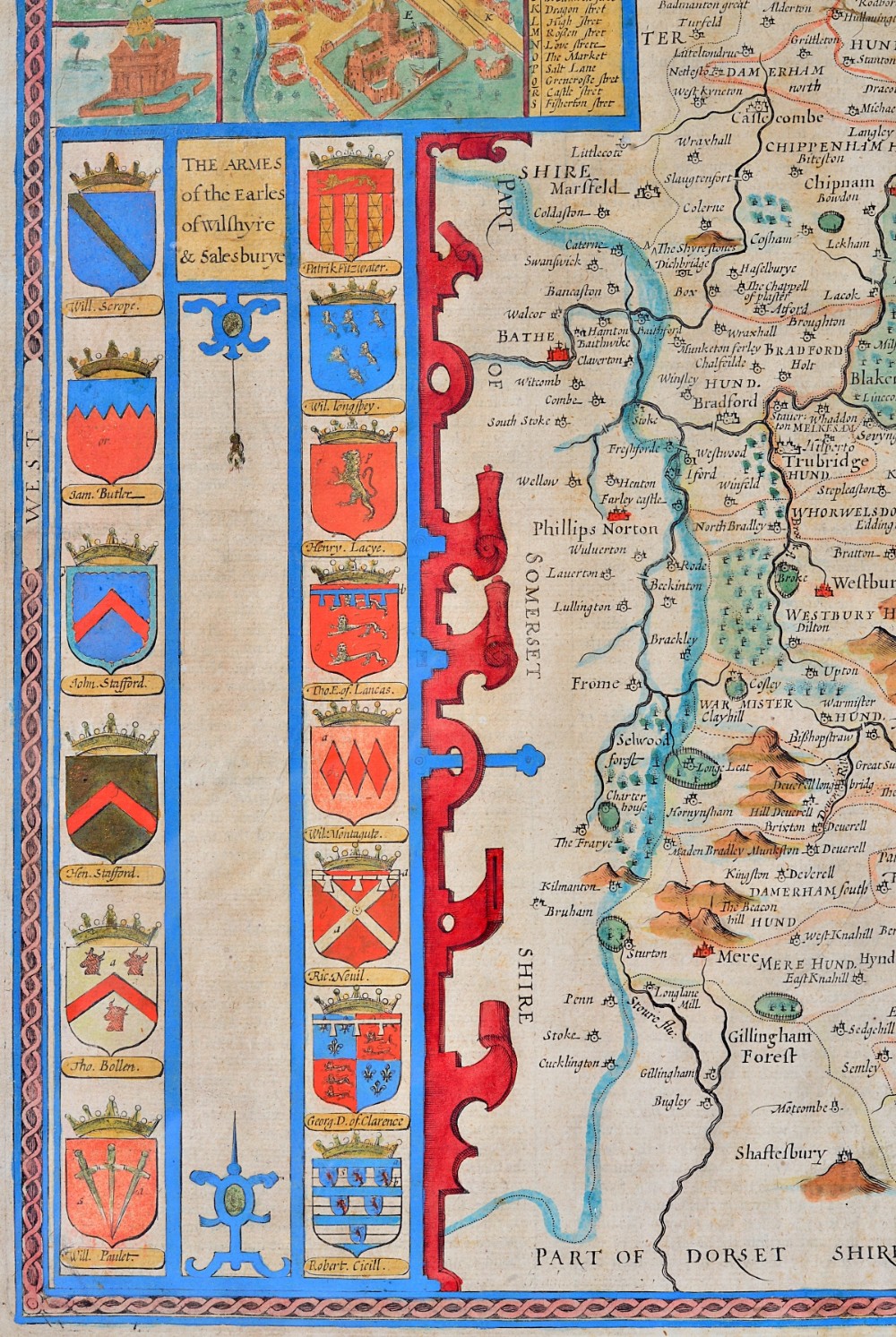
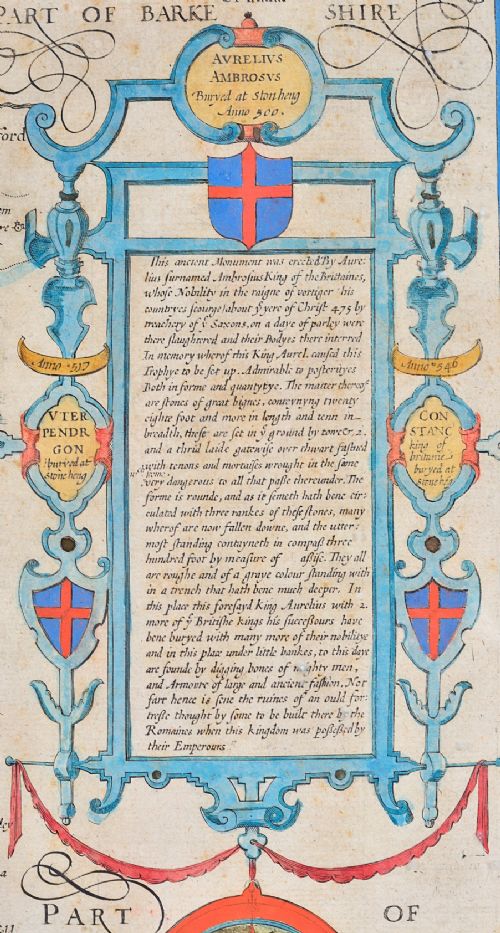
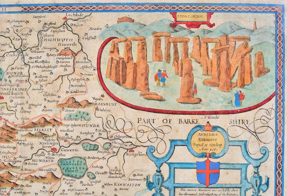
This hand coloured map has loads of detail and features, including a view of and information about Stonehenge, a view of Salisbury, coats of arms of the earls of Wiltshire and Salisbury, to name a few.
We can precisely date it, as it is the Bassett and Chiswell edition, which is detailed in the bottom right.
Another interesting feature is the wrong naming of the village of North Burcombe as ‘Quare’
Dimensions:
Visible area: 41 x 52.5 cm
Frame: 45.5 x 56.5 cm
Condition:
Excellent, with just a few spots but overall very bright and clean.
Free UK delivery. International buyers please email me with your postcode for a shipping quote george.holtby@gmail.com
If you have any questions or would like any more information please feel free to call, Whatsapp or email me any time.
Subscribe to my
... mailing list to hear about new stock (scroll down to the bottom of my homepage):
https://www.holtbyandco.uk/
Internal Reference: HC106
Antique ID Number (AIDN): SA781913
Dateline of this antique is 17th Century
Height is 45.5cm (17.9inches)Width is 56.5cm (22.2inches)Depth is 2cm (0.8inches)




Thank you.
Your comment has been sent to Sellingantiques.