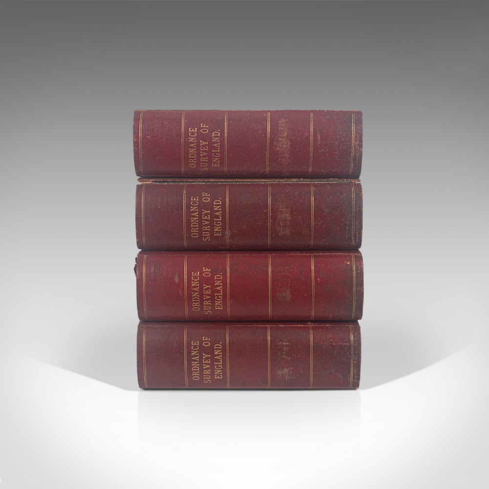
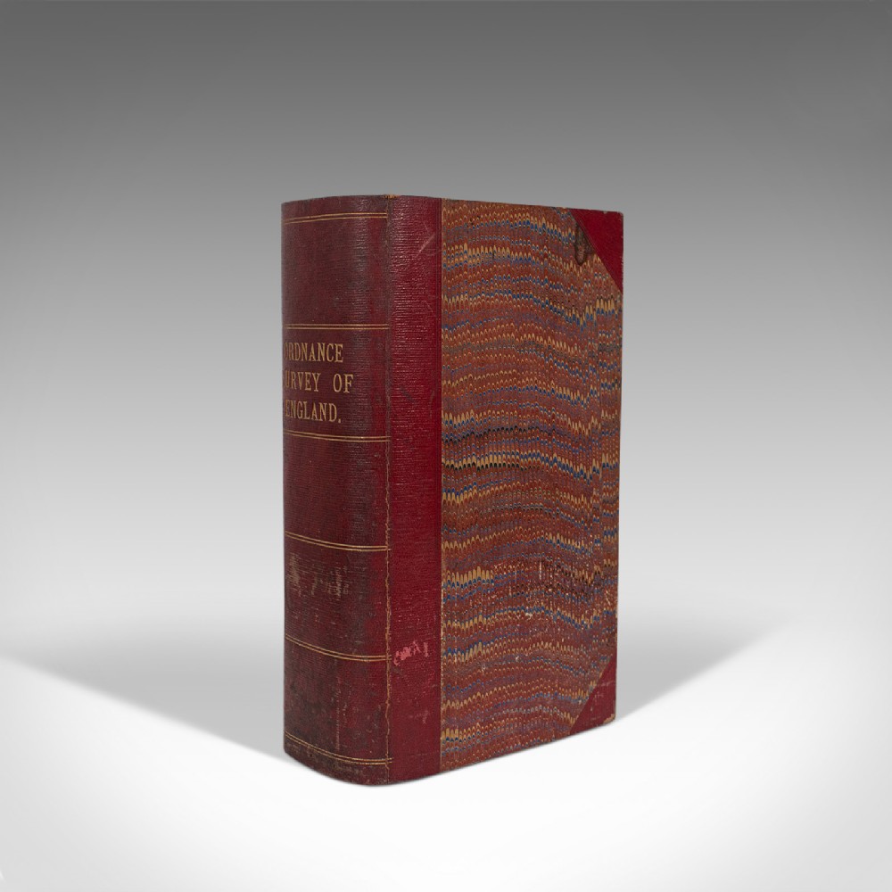
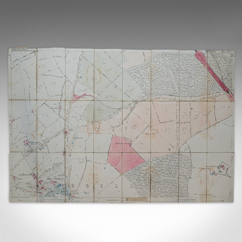
London Fine Antiques has dated this piece to the 1880s.
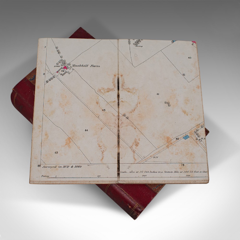
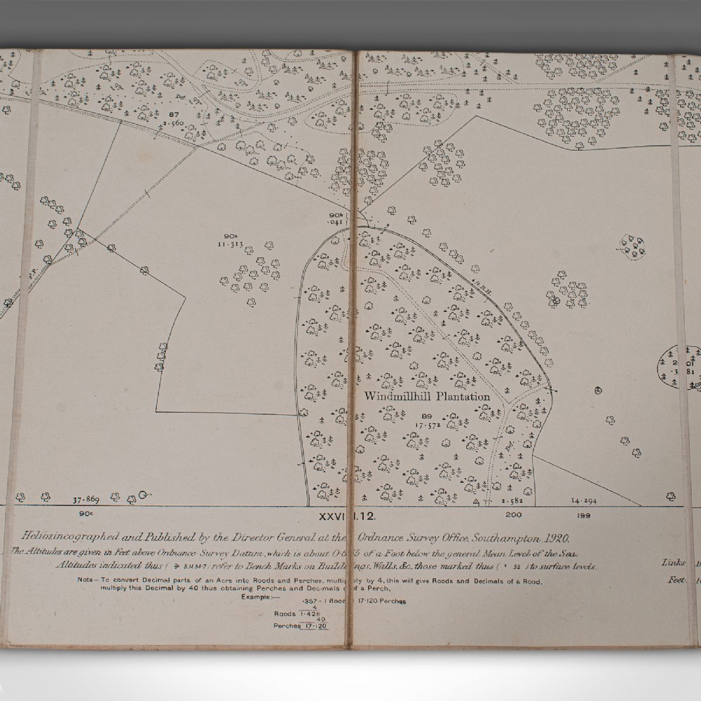
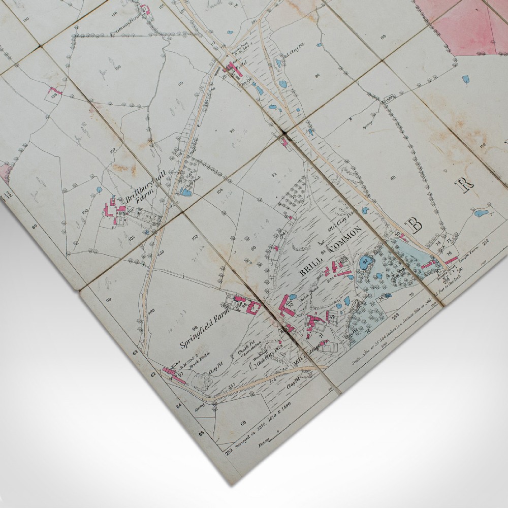
Of interest to the enthusiast cartographer - 28 antique maps in total
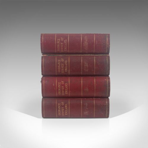
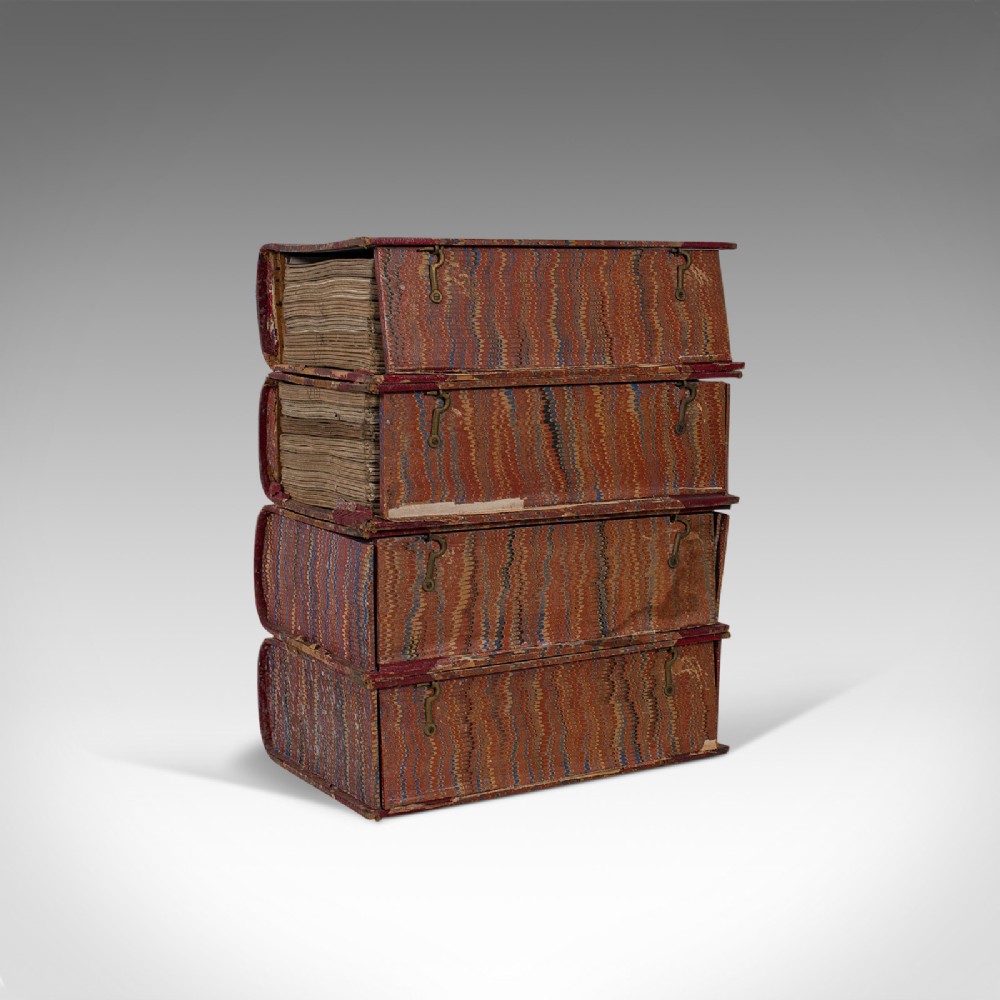
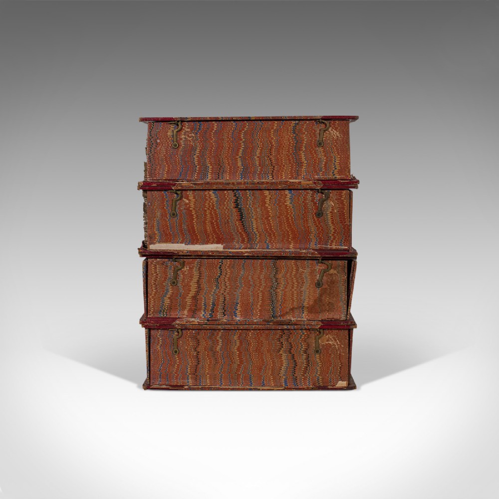
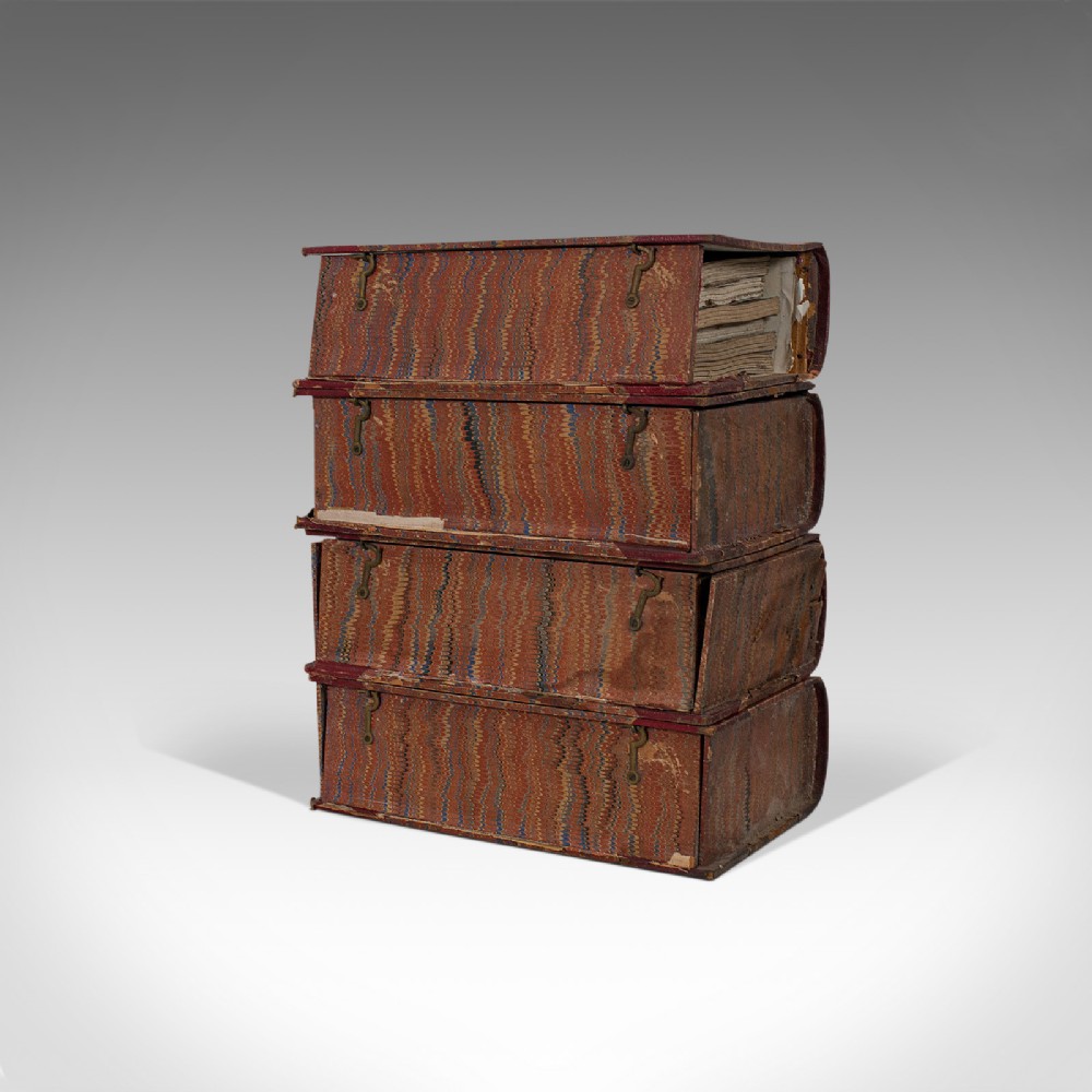
Displaying a desirable aged patina - signs of previous enjoyment commensurate with age
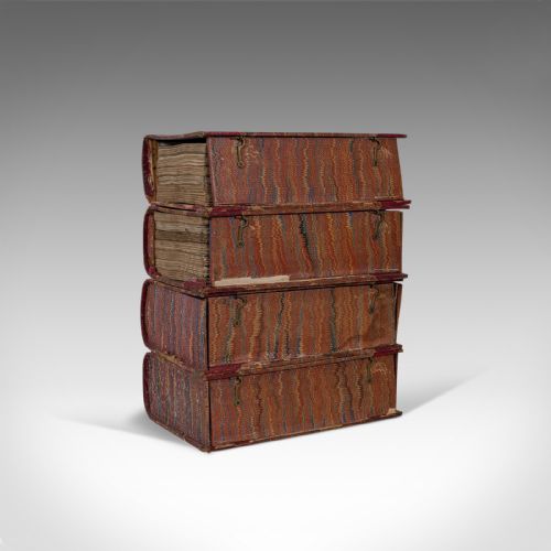
Half bound in rich, crimson leather with decorative marbled boards providing contrast
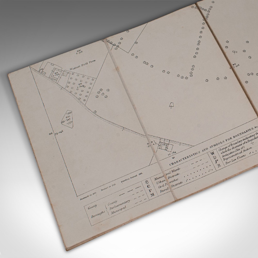
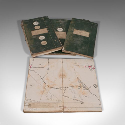
Each map is linen-backed for quality and durability when folding
Large scale, with maps at 25.4" statute mile scale - some with hand-coloured areas
Mainly situated within Buckinghamshire, with some bordering Oxfordshire
Maps show surveying and publication dates spanning from circa 1880 to 1920
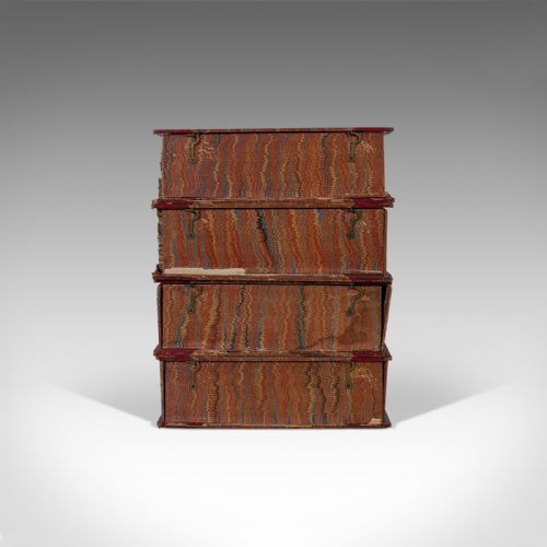
Annotated keys show characteristics and symbols for boundaries
This is a pleasingly decorative set of 4 antique map compendiums. Of fascination to lovers of cartography or English county history, these maps also offer display interest for the collector or institutions. Delivered ready to be enjoyed.
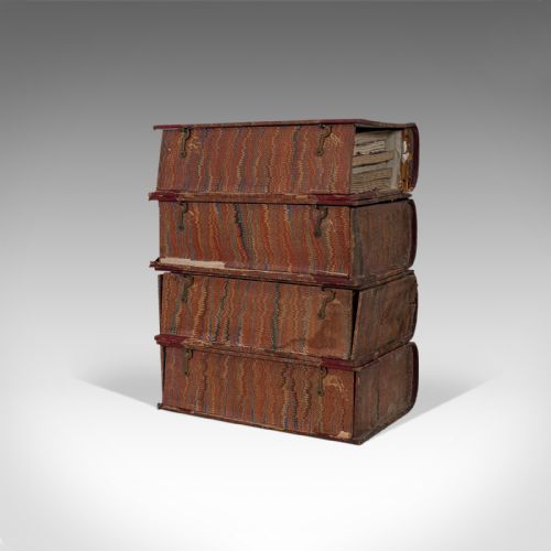
Dimensions:
Volume Width: 17.5cm (7'')
Volume Depth: 8cm (3.25'')
Volume Height: 27cm (10.75'')
Map Folded Width: 13cm (5'')
Map Folded Height: 24cm (9.5'')
Map Unfolded Width: 100cm (39.25'')
Map Unfolded Height: 68cm (26.75'')
We offer a 100% satisfaction guarantee with all of our antiques.
We ship worldwide with professional packing and attractive rates – please send us your post / zip code and country for a quote.
Free delivery to most of the U.K. – Please send us your post code for confirmation.
Deliveries taking on average ten working days to arrive at your door from receipt of payment.
Please contact us if you require any further information - we are here to help.
Our Ref: 18.7047
London Fine Antiques has dated this piece to the 1880s.
Fine antiques curated in england and sold worldwide
You can view the stock and full dealer information on the London Fine Antiques Profile Page
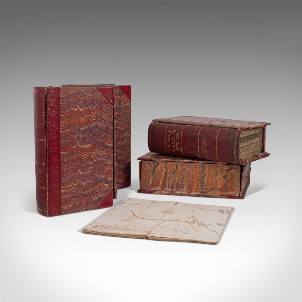
Antique Map Compendiums, English, Ordnance Survey, Cartography, Victorian, 1880