Malcolm Eglin Antiques has dated this piece to the 17th Century.
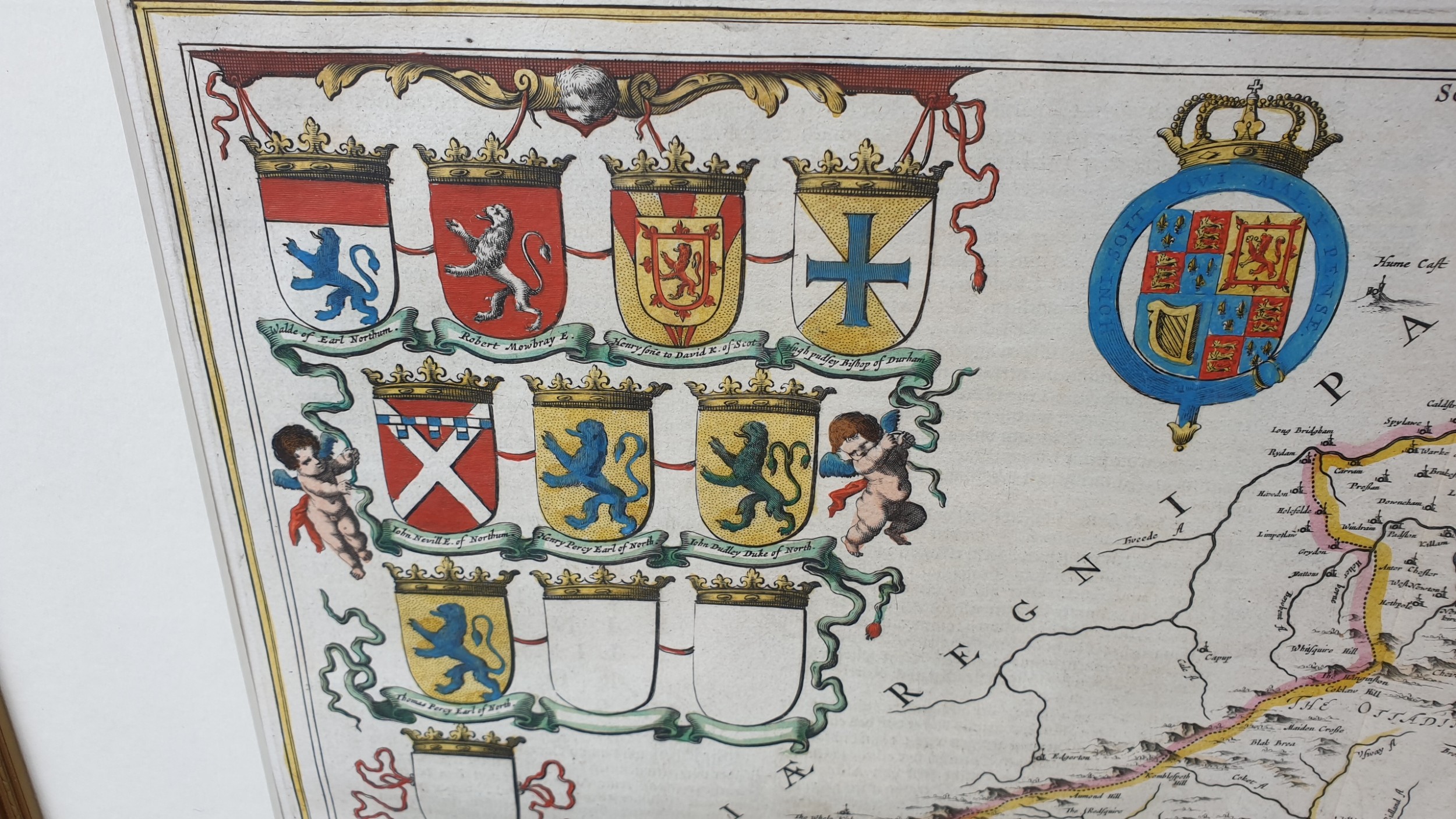
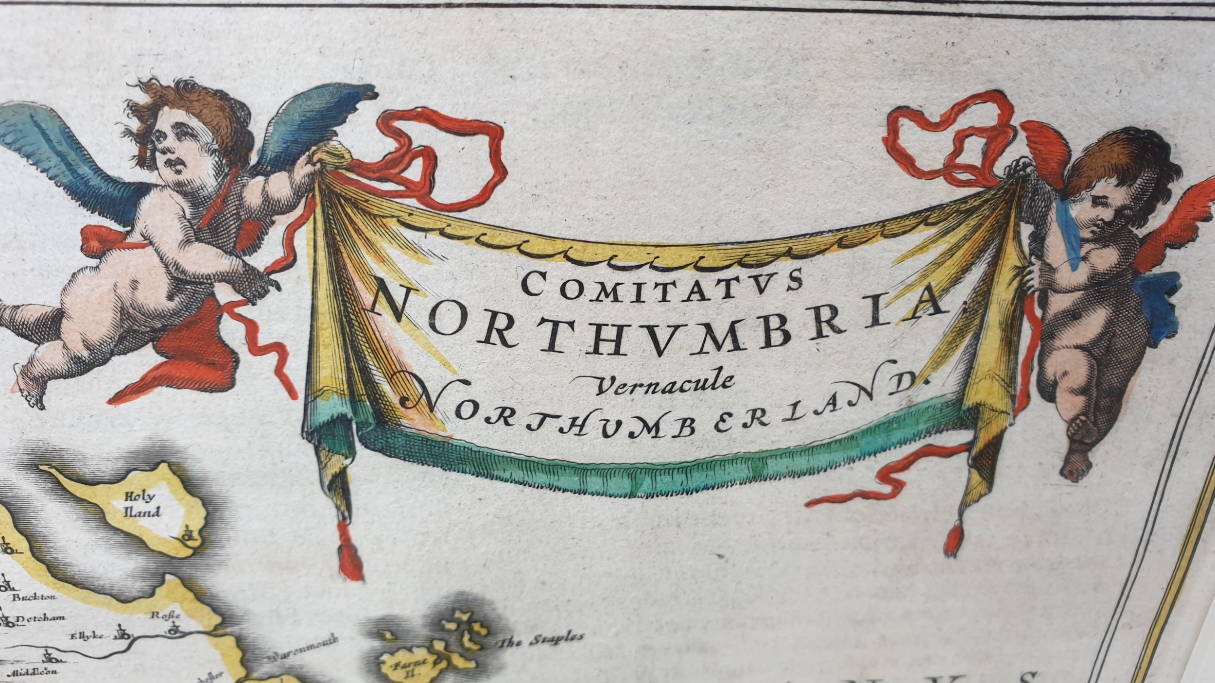
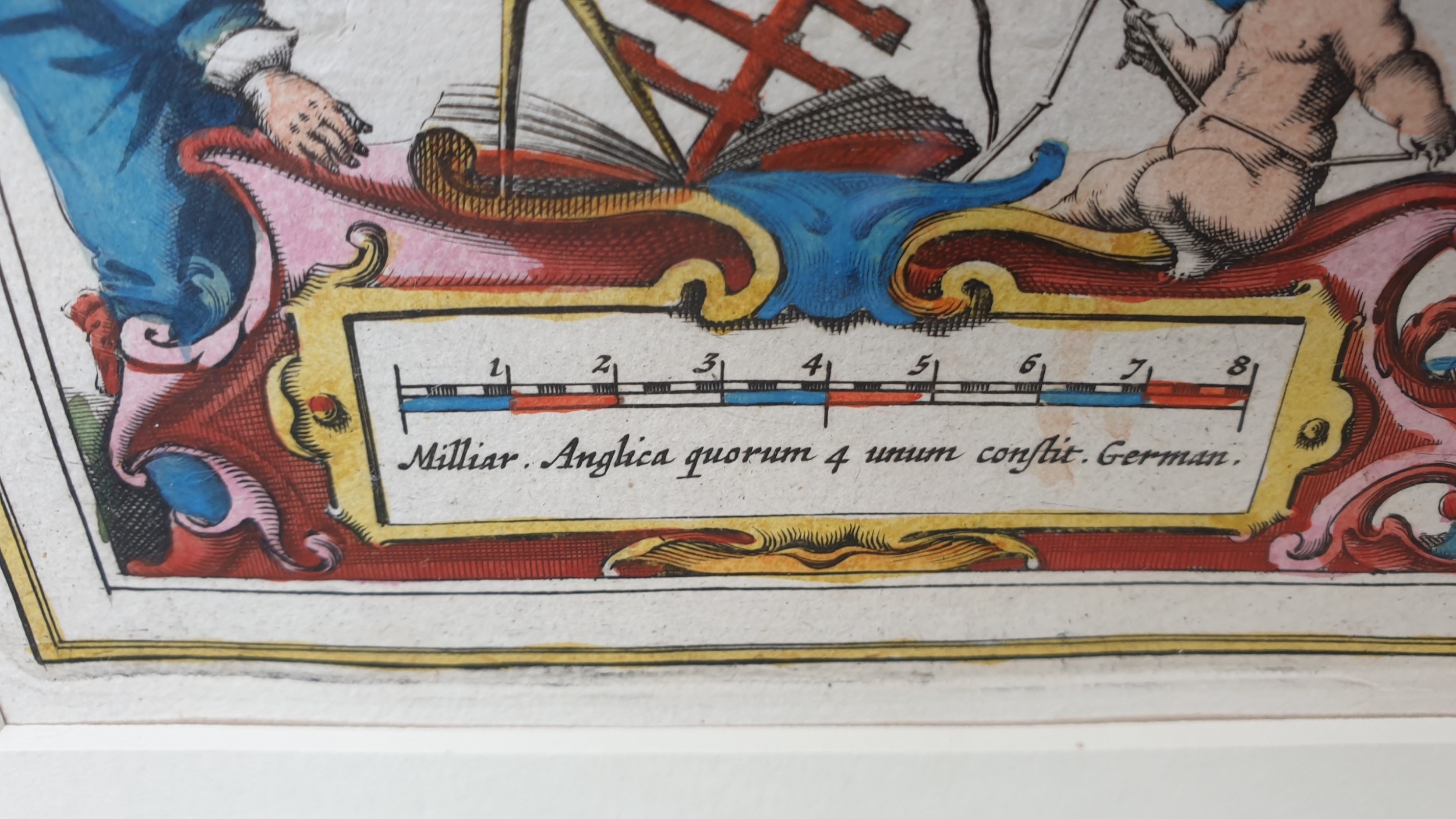
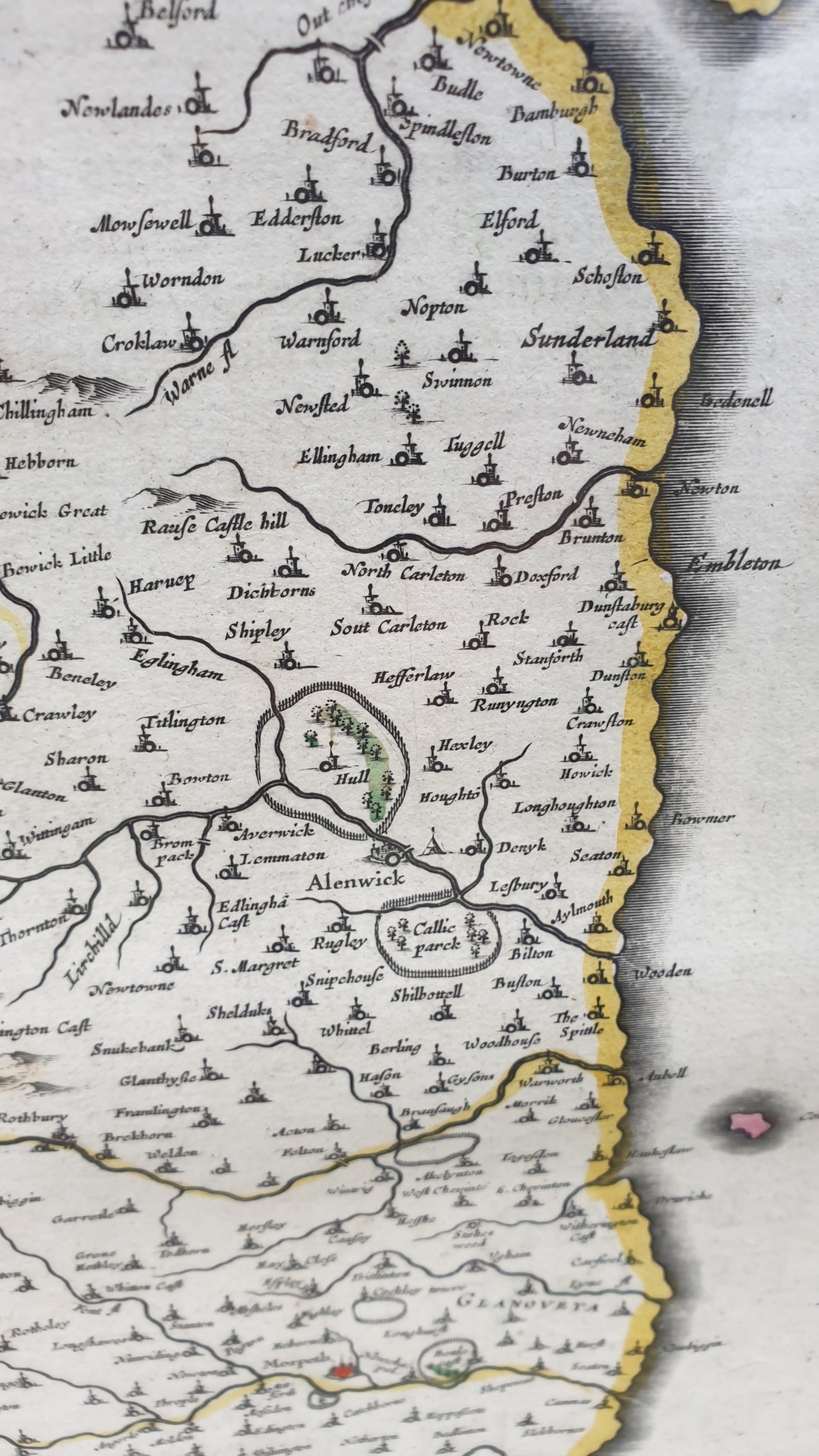
The map is further ornamented by a pair of sailing ships in the German Ocean, a bank of crests including the royal arms, and a pair of cartouches. One, containing the title, is held aloft by cherubs, while the other contains a scale in English and German miles. A very decorative map of Northumberland, the northernmost ceremonial county and a unitary district in North East England.
Newly framed in a classic 'Hogarth' frame.
Measures 68cm by 60cm
Malcolm Eglin Antiques has dated this piece to the 17th Century.
Personal delivery service provided by this specialist dealer in fine and unusual decorative home furnishings
You can view the stock and full dealer information on the Malcolm Eglin Antiques Profile Page
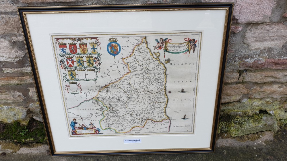
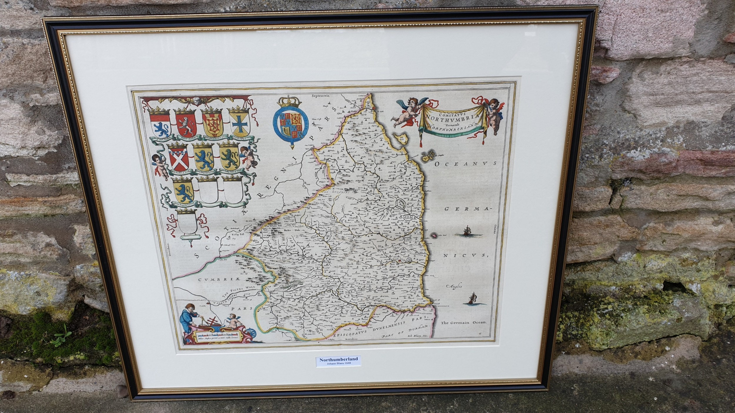
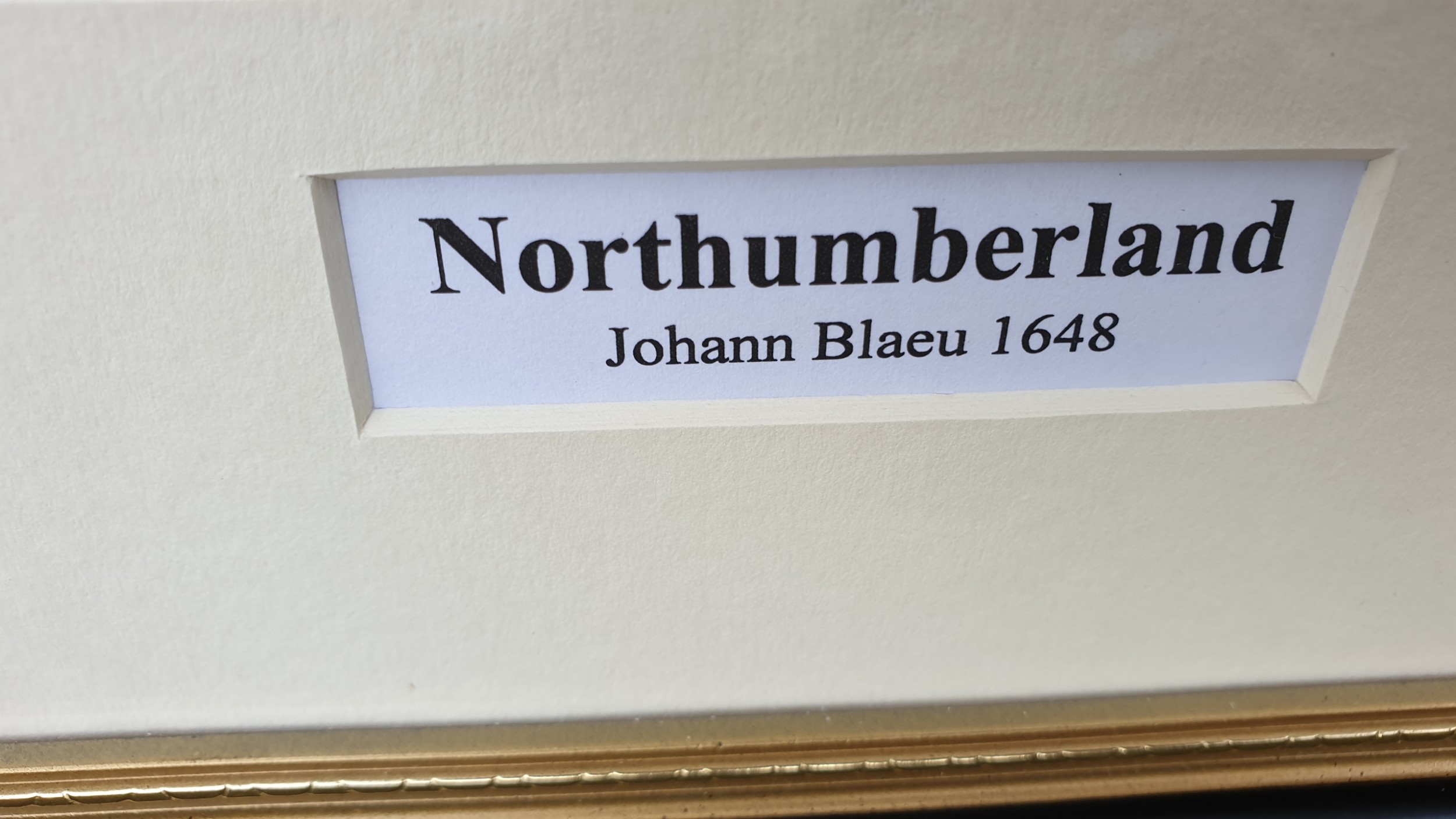
Johann Blaeu Map of Northumberland 1648