Malcolm Eglin Antiques has dated this piece to the 17th Century.
Over the following years the firm of Blaeu produced remarkable sets of maps dealing with all fields of cartographic investigation, some of the more noteworthy being: Terrestrial and Celestial Globes (published around 1599), Sea Atlas (1608), World Atlas (1630) and General Atlas of Towns (1644).
Until 1617 Willem Blaeu signed his maps Guilielmus Janssonius or Willems Jans Zoon. After that date his maps bear the appellation, Guilielmus or G. Blaeu. In 1633 he achieved the most important position in Dutch cartography when he was appointed mapmaker to the Dutch East India Company.
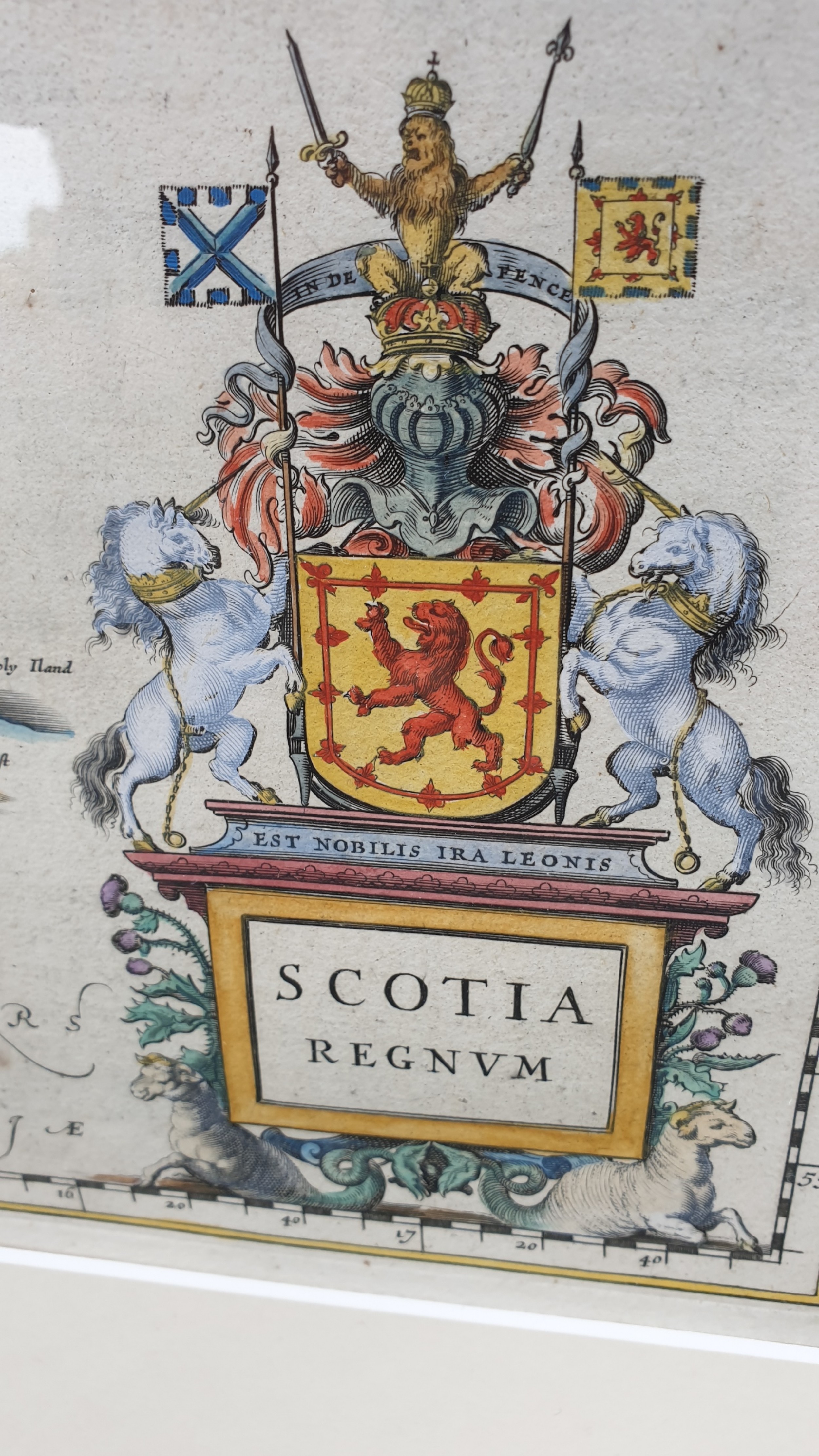
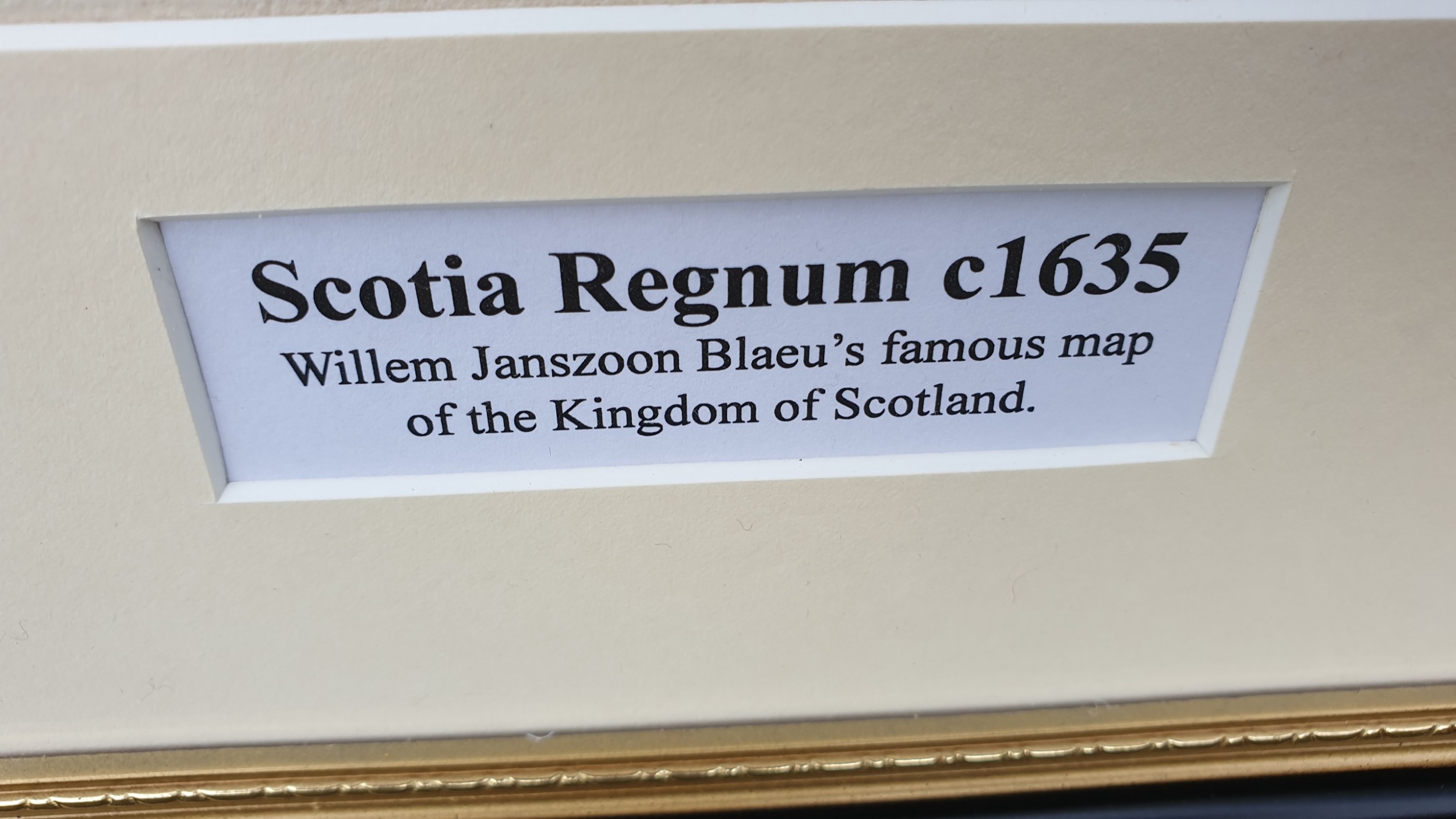
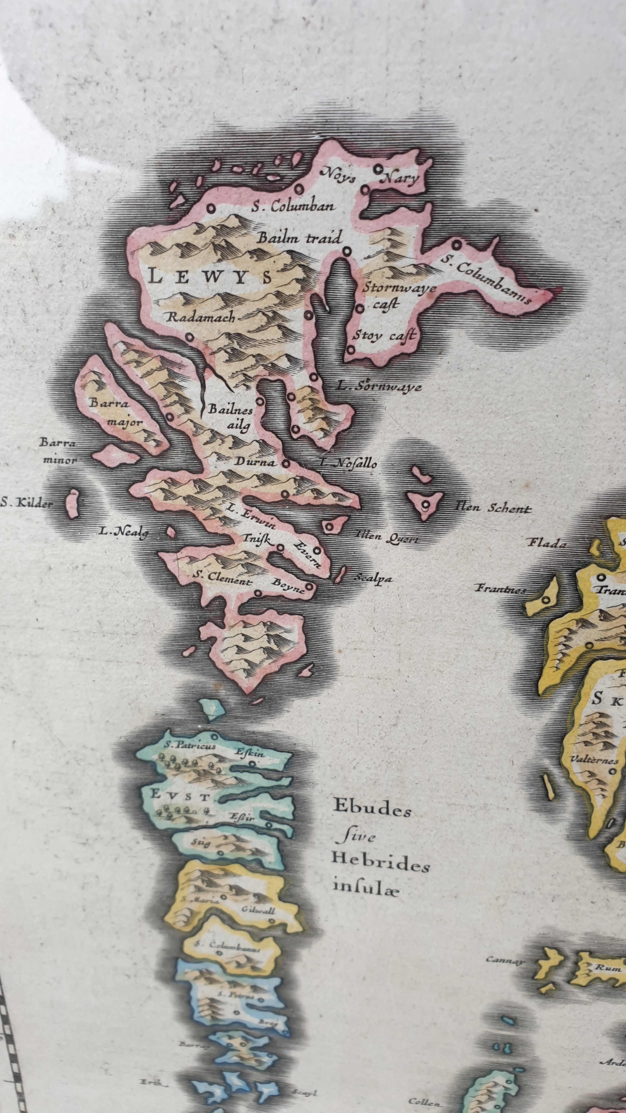
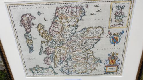
This map dates to c1635 and is newly framed in a 'Hogarth' frame.
Measures 69cm by 59cm
Malcolm Eglin Antiques has dated this piece to the 17th Century.
Personal delivery service provided by this specialist dealer in fine and unusual decorative home furnishings
You can view the stock and full dealer information on the Malcolm Eglin Antiques Profile Page
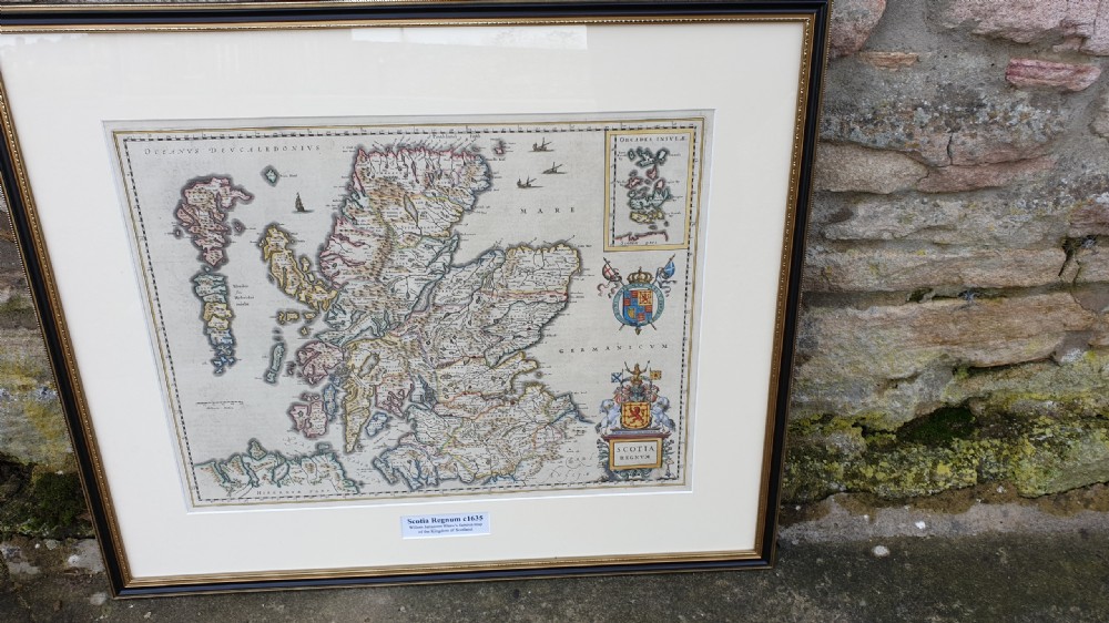
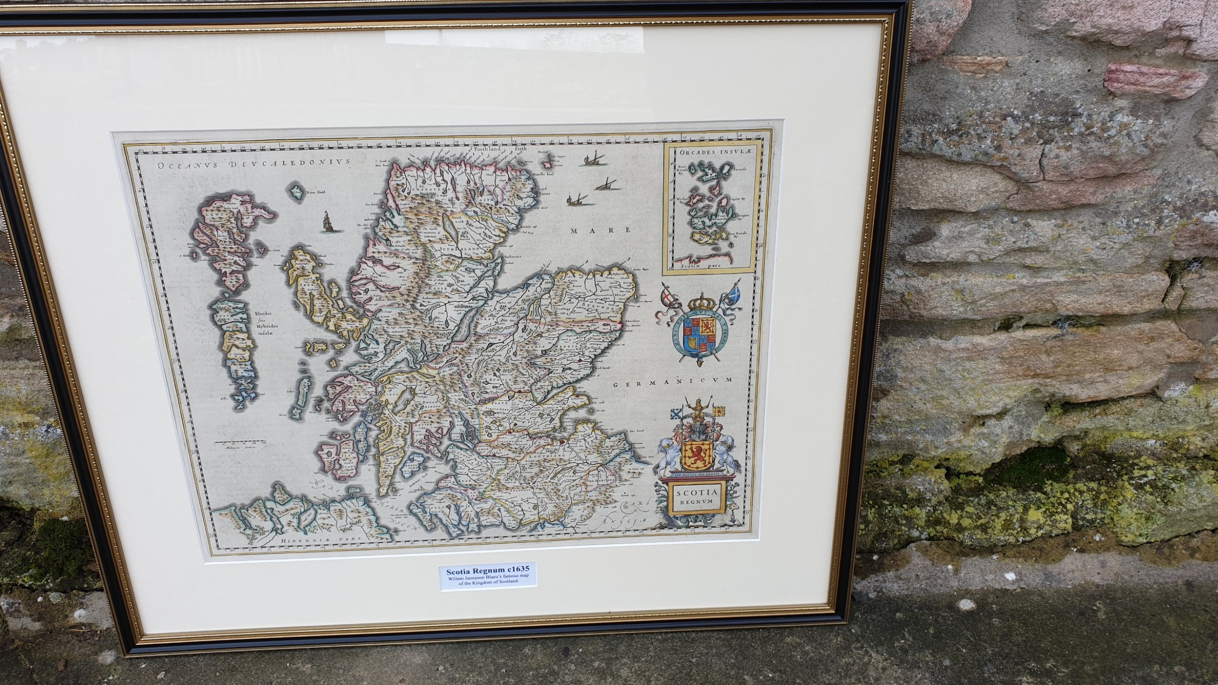
Willem Blaeu Map of Scotland c1635