16,740  PAGES BROWSED TODAY PAGES TODAY 25  ANTIQUES UPLOADED TODAY NEW ARRIVALS
ID #SA1207380
FOR SALE
£895
Email Buy
Save
Antique Map of Surrey, English, Framed County Cartography, After Blaeu, C.1690
London Fine Antiques
for sale €1,047     $1,137
£895
London Fine Antiques

London Fine Antiques

Sellingantiques Verified Since Oct 2010
View Dealers Stock Page
  • About Us
    Fine antiques curated in england and sold worldwide
Id #SA1207380
PDF SHARE
SAVE

Antique Map of Surrey, English, Framed County Cartography, After Blaeu, C.1690

17th century
Description

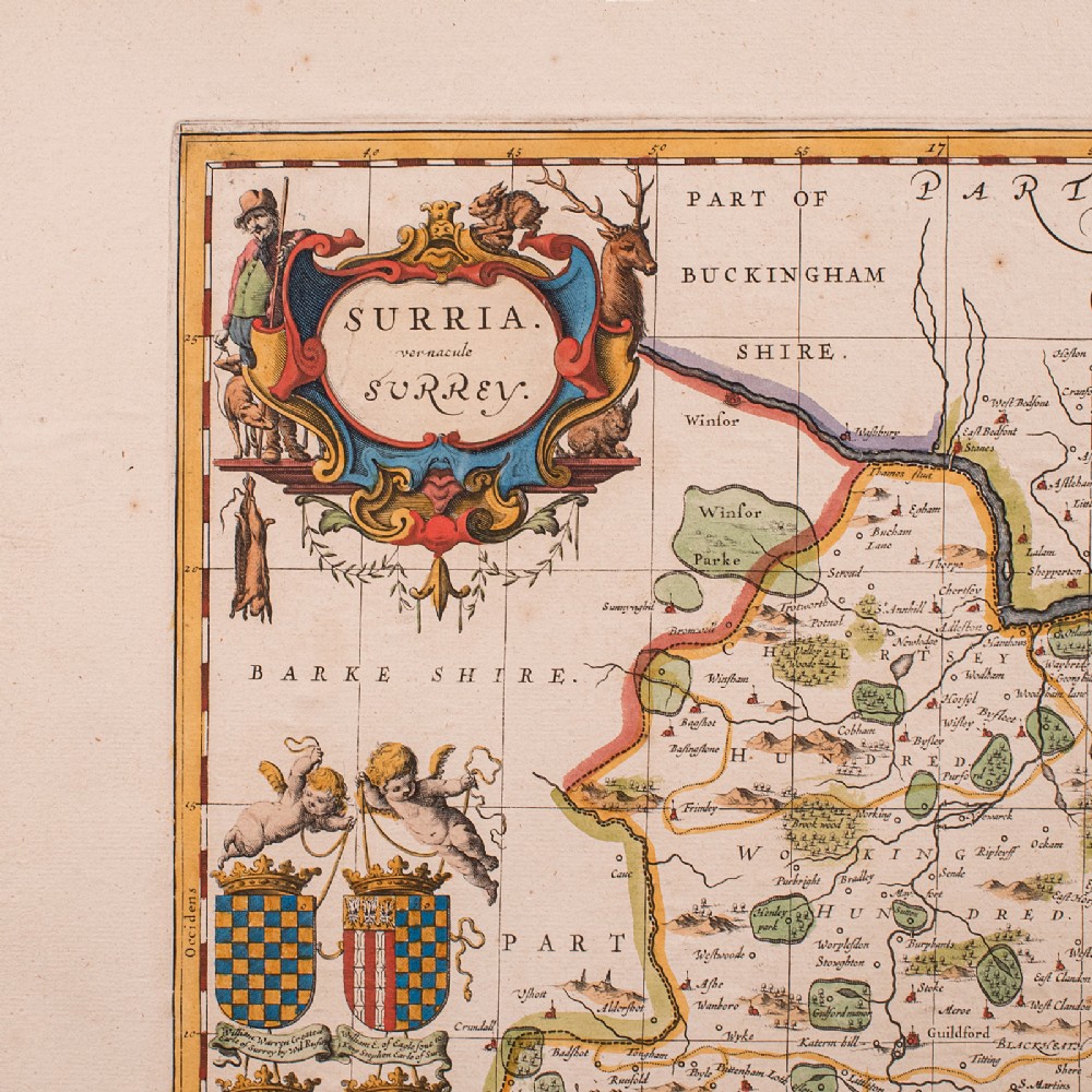
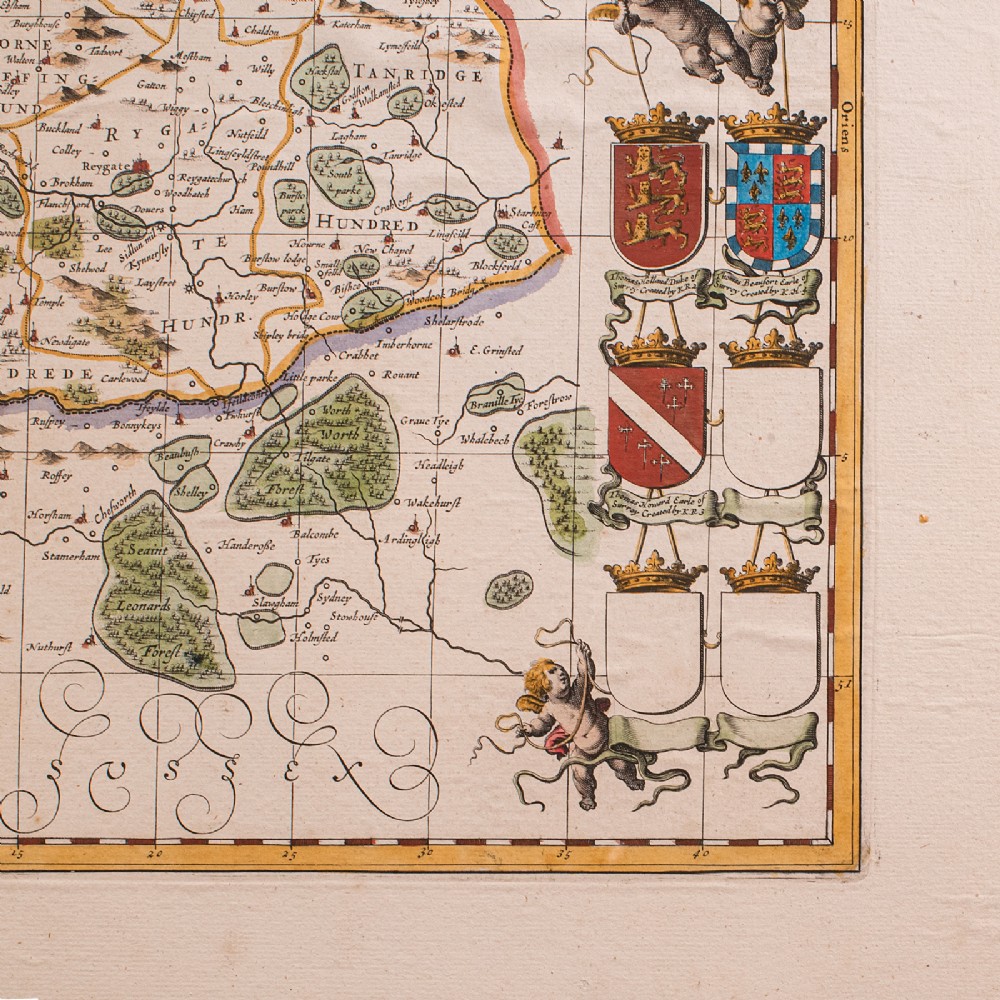
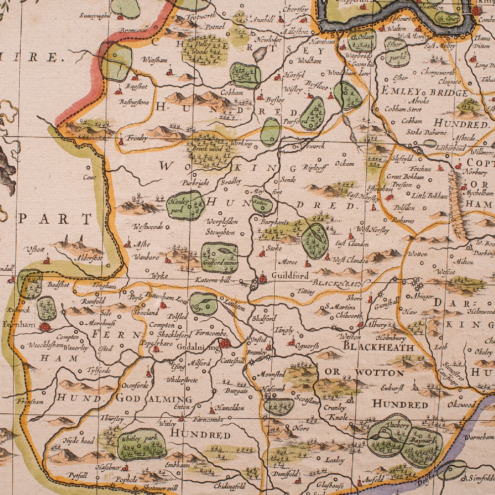
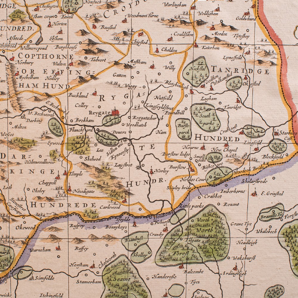
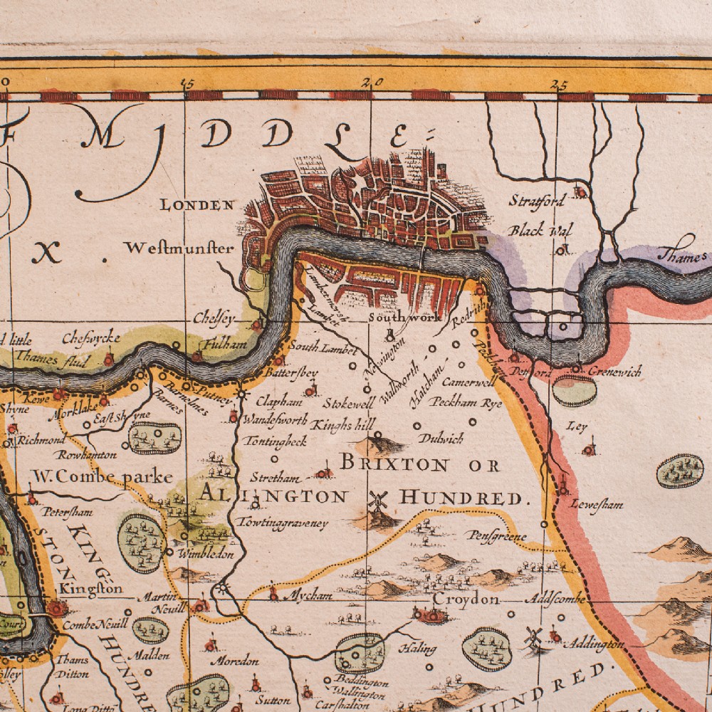
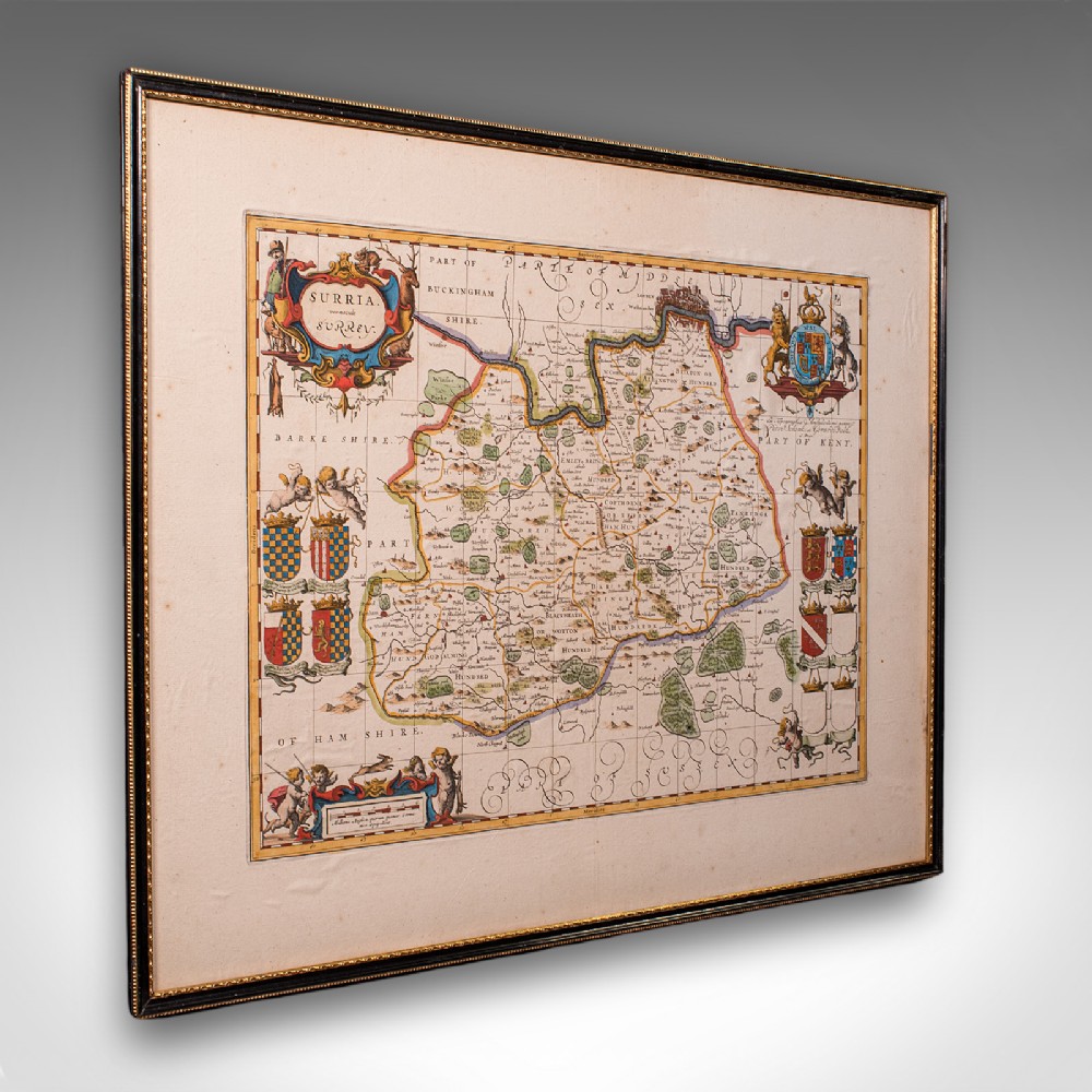
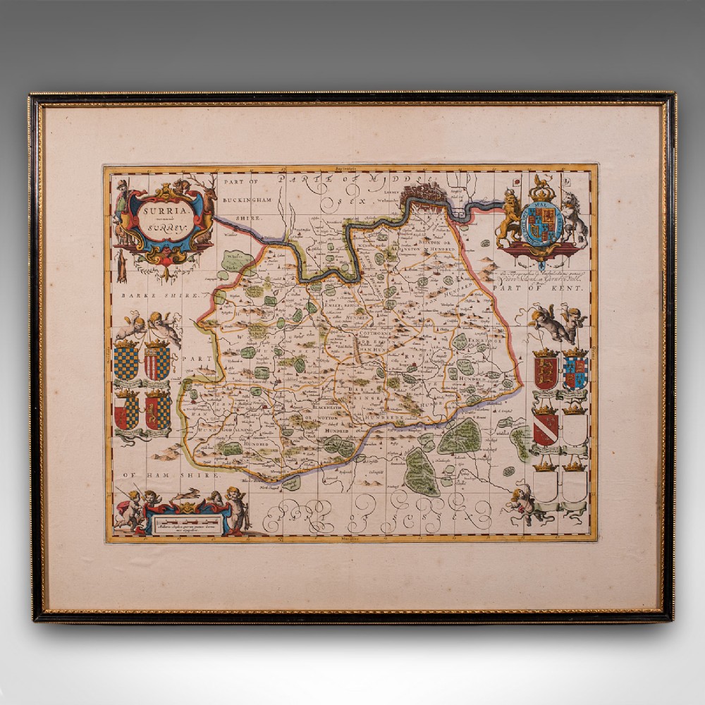
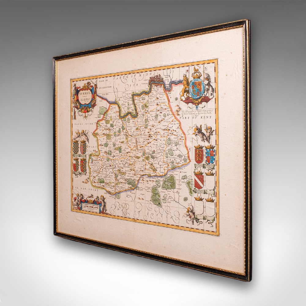
This is an antique map of Surrey. An English, framed cartography engraving by Willem Janszoon Blaeu, this centre fold edition dating to the William & Mary period, circa 1690.

A finely detailed 17th century county map, rich in historical and decorative appeal.
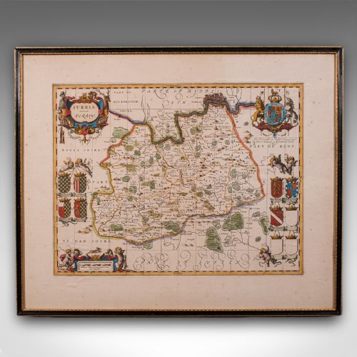
Displays a desirable aged patina and in good order throughout

Presented within a tasteful later frame and mounted behind clear protective glazing

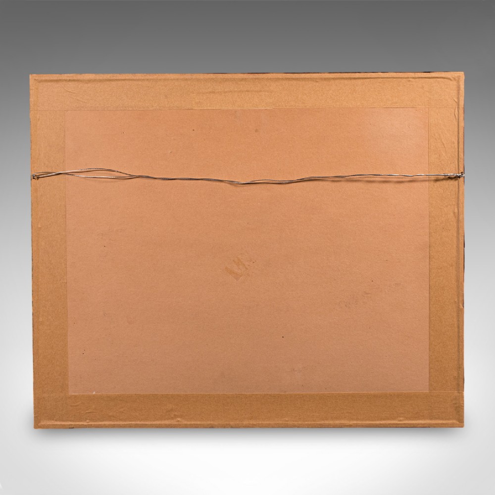
Dressed to the rear with hanging wire for ease of display
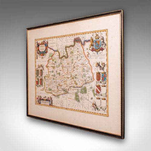
Centre fold edition after Willem Janszoon Blaeu, one of the foremost cartographers of the era

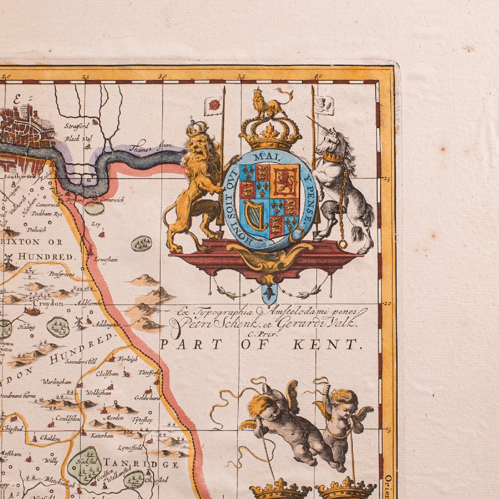
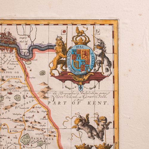
This copy published circa 1690 by Peter Schenk and Gerard Valk

Presents the county as Surria in Latin, above the vernacular name 'Surrey'
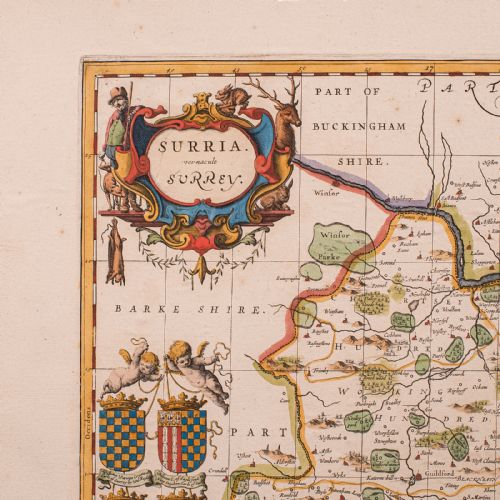
Detailed engraving with period place names and annotated in both Latin and English

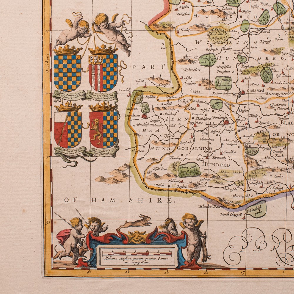
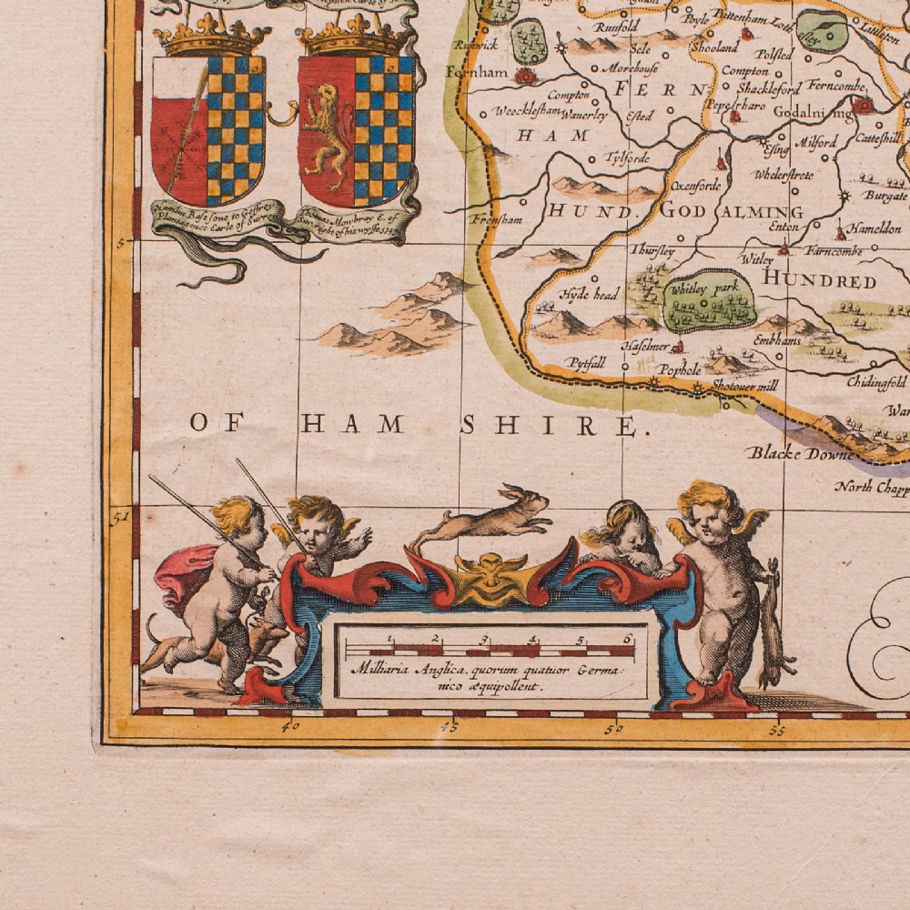
Hand coloured throughout with vibrant and enduring tones

Decorative cartouche and heraldic motifs enrich the composition
Ideal for the study, library or country house interior

A superb late 17th century Surrey map, combining Blaeu’s renowned cartographic detail with decorative charm. Perfect for collectors of antique maps and regional history. Delivered ready to display.

Dimensions:

Max Width: 64cm (25.25'')

Max Depth: 1cm (.5'')

Max Height: 53cm (20.75'')

Map Width: 49cm (19.25'')

Map Height: 37.5cm (14.75'')

Physical Dimensions
Height
53cm (20.87")
Width
64cm (25.20")
Depth
1cm (0.39")
Declaration

London Fine Antiques has dated this Antique Surrey County Map to the 17th Century.

Reference Numbers
Sellingantiques Reference
SA1207380
Dealers Internal Reference
25995
Dealers Notes

What our clients have to say: https://www.londonfine.co.uk/pages/reviews

Description
This is an antique map of Surrey.
An English, framed cartography engraving by Willem Janszoon Blaeu, this centre fold edition dating to the William & Mary period, circa 1690.
London Fine Antiques

A finely detailed 17th century county map, rich in historical and decorative appeal.

fig 1. Framed seventeenth-century style hand-coloured engraved map of Surrey featuring heraldic crests and decorative cartouches within a dark black and gilt frame.
fig 1. Antique Map of Surrey, English, Framed County Cartography, After Blaeu, C.1690

Displays a desirable aged patina and in good order throughout

Presented within a tasteful later frame and mounted behind clear protective glazing

Dressed to the rear with hanging wire for ease of display

fig 2. Framed seventeenth-century style hand-coloured engraved map of Surrey featuring heraldic crests and decorative cartouches within a dark black and gilt frame.
fig 2. Antique Map of Surrey, English, Framed County Cartography, After Blaeu, C.1690

Centre fold edition after Willem Janszoon Blaeu, one of the foremost cartographers of the era

This copy published circa 1690 by Peter Schenk and Gerard Valk

Presents the county as Surria in Latin, above the vernacular name 'Surrey'

fig 3. Framed seventeenth-century style hand-coloured engraved map of Surrey featuring heraldic crests and decorative cartouches within a dark black and gilt frame.
fig 3. Antique Map of Surrey, English, Framed County Cartography, After Blaeu, C.1690

Detailed engraving with period place names and annotated in both Latin and English

Hand coloured throughout with vibrant and enduring tones

Decorative cartouche and heraldic motifs enrich the composition

fig 4. Framed seventeenth-century style hand-coloured engraved map of Surrey featuring heraldic crests and decorative cartouches within a dark black and gilt frame.
fig 4. Antique Map of Surrey, English, Framed County Cartography, After Blaeu, C.1690

Ideal for the study, library or country house interior

A superb late 17th century Surrey map, combining Blaeu’s renowned cartographic detail with decorative charm. Perfect for collectors of antique maps and regional history. Delivered ready to display.

Dimensions:

Max Width: 64cm (25.25'')

Max Depth: 1cm (.5'')

Max Height: 53cm (20.75'')

Map Width: 49cm (19.25'')

Map Height: 37.5cm (14.75'')

Height
53cm (20.87")
Width
64cm (25.20")
Depth
1cm (0.39")
Date of Manufacture

London Fine Antiques has dated this Antique Surrey County Map to the 17th Century.

Reference Numbers
Sellingantiques Ref
SA1207380
Dealers Internal Ref
25995
London Fine Antiques
Sellingantiques verified Since Oct 2010

Fine antiques curated in england and sold worldwide

Dealer Profile

You can view the stock and full dealer information on the London Fine Antiques Profile Page
PDF SHARE
SAVE
Framed seventeenth-century style hand-coloured engraved map of Surrey featuring heraldic crests and decorative cartouches within a dark black and gilt frame.
1 / 12
Archive I Framed seventeenth-century style hand-coloured engraved map of Surrey featuring heraldic crests and decorative cartouches within a dark black and gilt frame.

Antique Map of Surrey, English, Framed County Cartography, After Blaeu, C.1690
Archive II Framed seventeenth-century style hand-coloured engraved map of Surrey featuring heraldic crests and decorative cartouches within a dark black and gilt frame. View II
Archive III Framed seventeenth-century style hand-coloured engraved map of Surrey featuring heraldic crests and decorative cartouches within a dark black and gilt frame. View III
Archive IV Framed seventeenth-century style hand-coloured engraved map of Surrey featuring heraldic crests and decorative cartouches within a dark black and gilt frame. View IV
Archive V Framed seventeenth-century style hand-coloured engraved map of Surrey featuring heraldic crests and decorative cartouches within a dark black and gilt frame. View V
Archive VI Framed seventeenth-century style hand-coloured engraved map of Surrey featuring heraldic crests and decorative cartouches within a dark black and gilt frame. View VI
Archive VII Framed seventeenth-century style hand-coloured engraved map of Surrey featuring heraldic crests and decorative cartouches within a dark black and gilt frame. View VII
Archive VIII Framed seventeenth-century style hand-coloured engraved map of Surrey featuring heraldic crests and decorative cartouches within a dark black and gilt frame. View VIII
Archive IX Framed seventeenth-century style hand-coloured engraved map of Surrey featuring heraldic crests and decorative cartouches within a dark black and gilt frame. View IX
Archive X Framed seventeenth-century style hand-coloured engraved map of Surrey featuring heraldic crests and decorative cartouches within a dark black and gilt frame. View X
Archive XI Framed seventeenth-century style hand-coloured engraved map of Surrey featuring heraldic crests and decorative cartouches within a dark black and gilt frame. View XI
Archive XII Framed seventeenth-century style hand-coloured engraved map of Surrey featuring heraldic crests and decorative cartouches within a dark black and gilt frame. View XII
Enlarged Archival View
Telephone 0207 1833511
Location
The Antique Village
Hele
Exeter
Devon
EX5 4PW
United Kingdom
Verified Since Oct 2010
Items For Sale 939
Items Sold 5,598
London Fine Antiques
Verified Since Oct 2010
View Dealer Info
Location: The Antique Village, Hele, Exeter, Devon , EX5 4PW, United Kingdom
Verified
Oct 2010
For Sale
939
Sold
5,598
Framed seventeenth-century style hand-coloured engraved map of Surrey featuring heraldic crests and decorative cartouches within a dark black and gilt frame.
Antique Map of Surrey, English, Framed County Cartography, After Blaeu, C.1690
Ref: SA1207380
Framed seventeenth-century style hand-coloured engraved map of Surrey featuring heraldic crests and decorative cartouches within a dark black and gilt frame.
Detail View 1
Detail View 2
Detail View 3
Detail View 4
Detail View 5
Detail View 6
Detail View 7
Detail View 8
Detail View 9
Detail View 10
Detail View 11
Archival Detail
Every single antique dealer on our platform is individually approved by our internal team. We verify their professional trade history, ethical standards, and photographic quality to ensure a secure, high-standard buying environment. Upon joining, every dealer agrees to a strict 9-point code of conduct. While issues can occasionally arise, our dealers typically resolve them swiftly and directly with the buyer. In fact, since our founding in 2002, Sellingantiques has only had to step in to help resolve an issue on roughly five occasions—a true testament to the quality of our dealers and their dedication to your happiness.
Our dealers are highly experienced in packing and shipping fragile, high-value antiques. Because you are in direct contact with the dealer, you will be able to easily go through all available shipping and insurance options together to ensure your item arrives safely.
Antiques are the ultimate green purchase. By choosing historical pieces over newly manufactured goods, you completely eliminate the carbon footprint of modern mass production while preserving exceptional, timeless craftsmanship.

Seventeenth-century county cartography refers to copperplate-engraved regional maps produced during the golden age of Dutch and English mapmaking. Cartographers such as Joan Blaeu and John Speed created highly detailed maps featuring decorative cartouches, heraldic coats of arms, and topographical features for compiled national atlases.

Maps from this era were printed onto handmade rag paper using copperplate engraving techniques. The monochrome ink impressions were subsequently hand-coloured using watercolor washes, often applied by specialised artists or colourists.

Authentic period engravings typically display a clear plate mark impression around the border where the copperplate pressed into the damp paper. Additional indicators include chain lines and watermarks visible when light passes through the rag paper, along with natural age-related foxing and minor oxidisation.

Antique maps add historical context and visual interest when hung in traditional studies, dining rooms, staircases, or above sideboards. Combining dark wood frames with neutral mounts allows the artwork to complement both classic English country interiors and contemporary eclectic schemes.

To prevent fading and deterioration, display antique prints away from direct sunlight and heat sources. Frame the print using acid-free mounting materials and UV-protective glazing to prevent discoloration, dampness, and foxing over time.
items
Add keywords to the filter
Price
£100
£250000
Era
Movements
Material
Origin
Stock Location
Freshness
Online Payments
Categories