London Fine Antiques has dated this piece to the 17th Century.
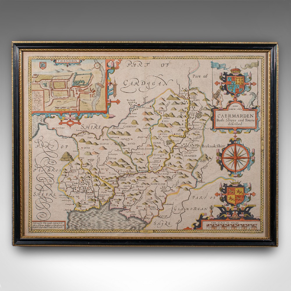
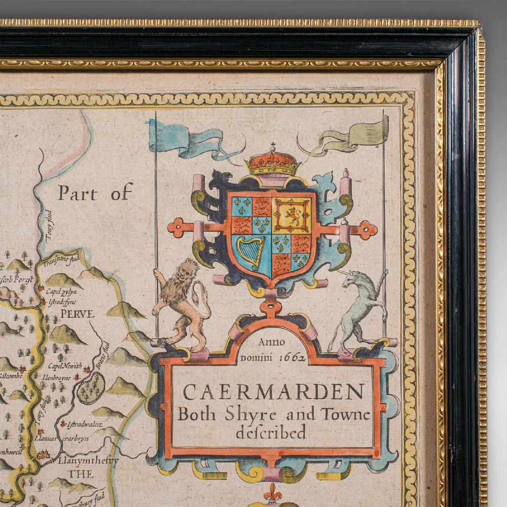
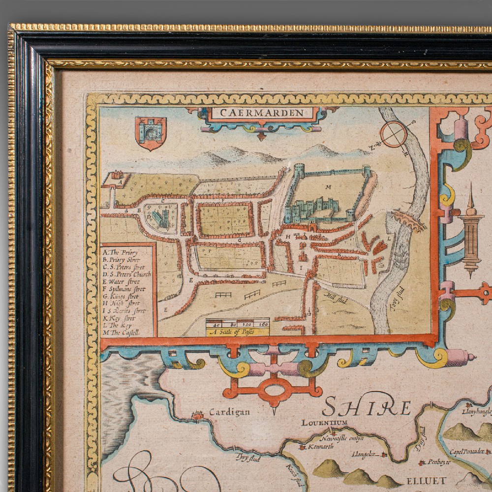
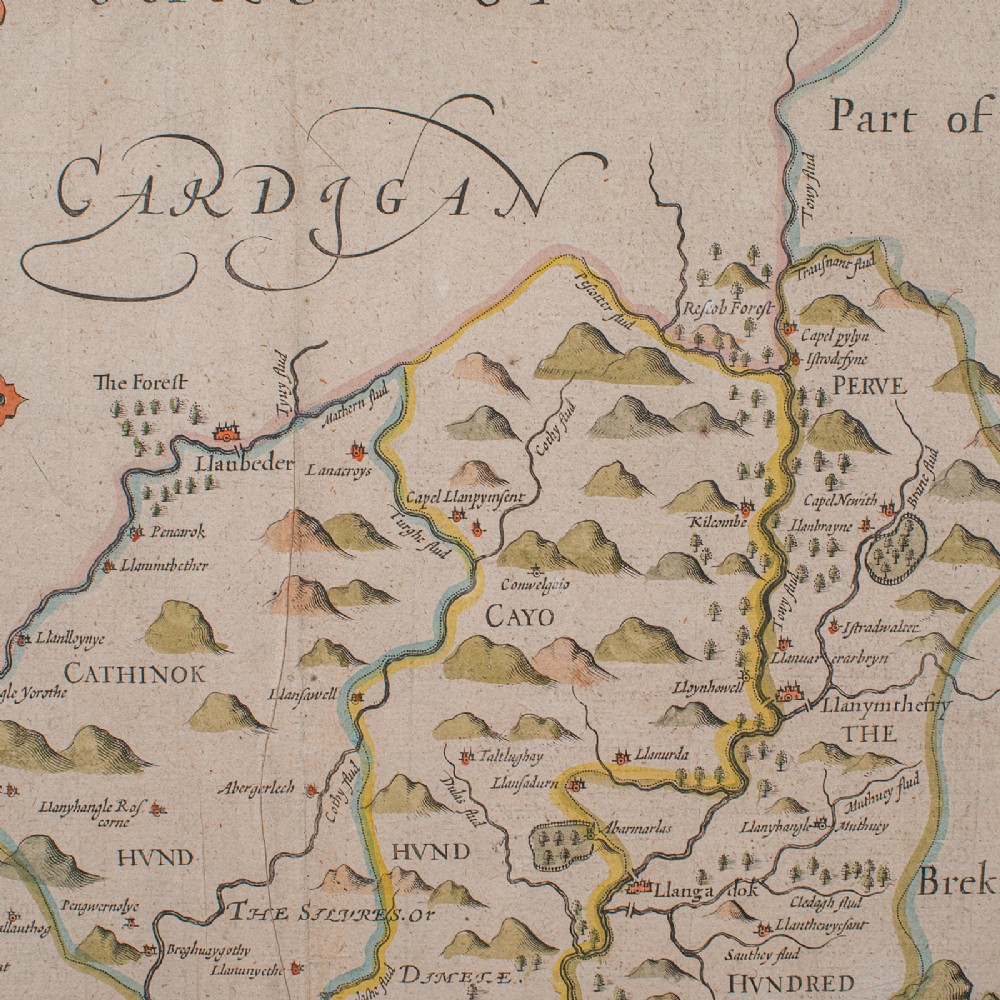
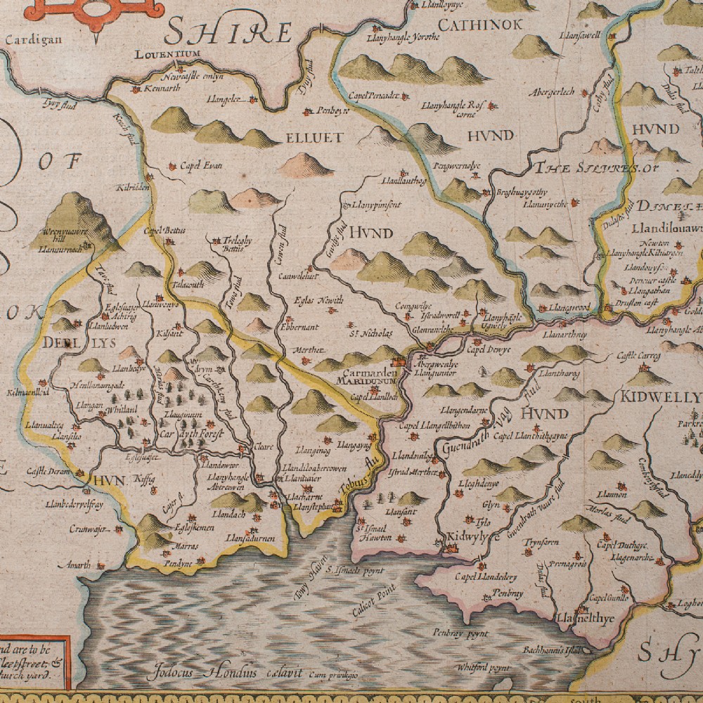
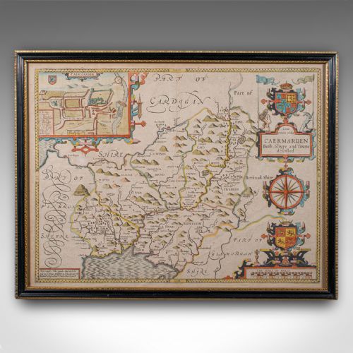
Full title; Caermarden - Both Shyre and Towne Described.
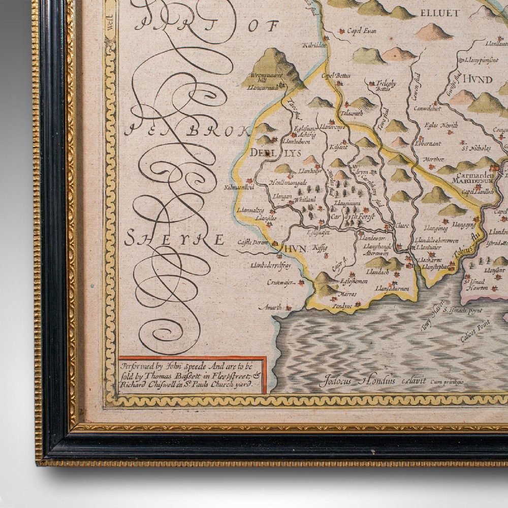
A renowned 16th and early 17th century cartographer and historian, John Speed (1552 - 1629) crafted a series of fine maps in a distinguished career. Influenced by contemporaries such as Christopher Saxton and John Norden, Speed was the first to incorporate The Hundreds administrative divisions to his cartography and established the first town plans of several locations.
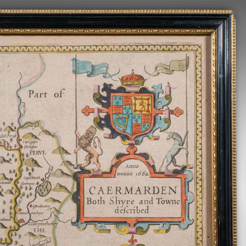
Superb atlas cartography with dual view aspect for additional interest
Displays a desirable aged patina and in lightly time worn order
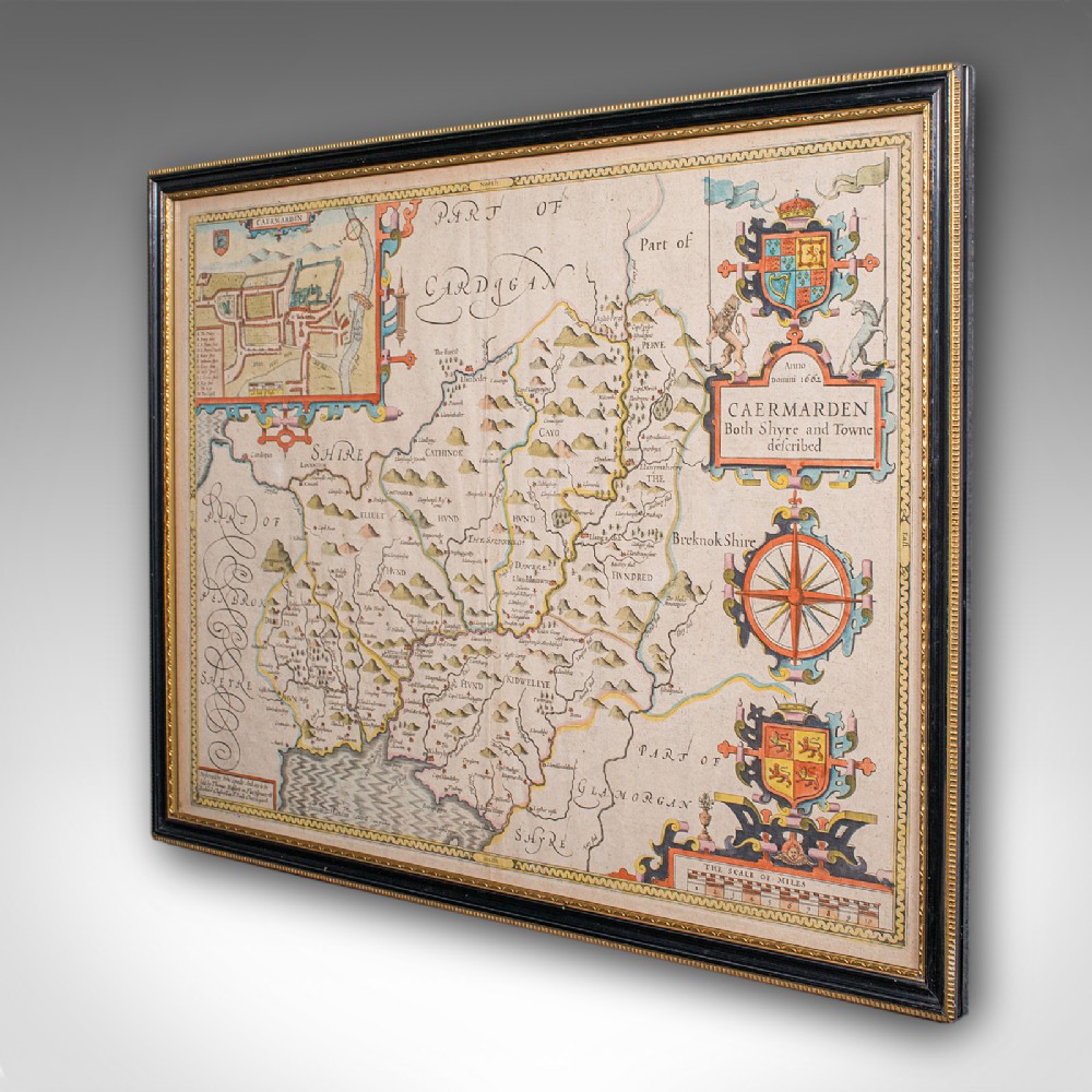
Presented behind clear, bright glass within a later, ebonised and gilt frame
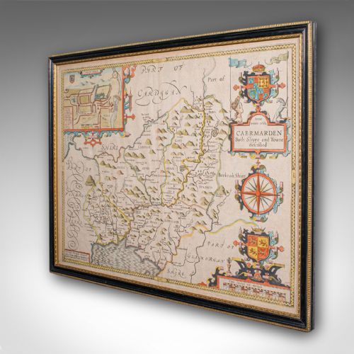
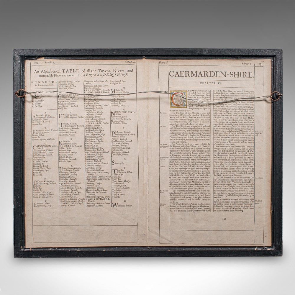
Dressed to the rear with hanging wire for ease of mounting
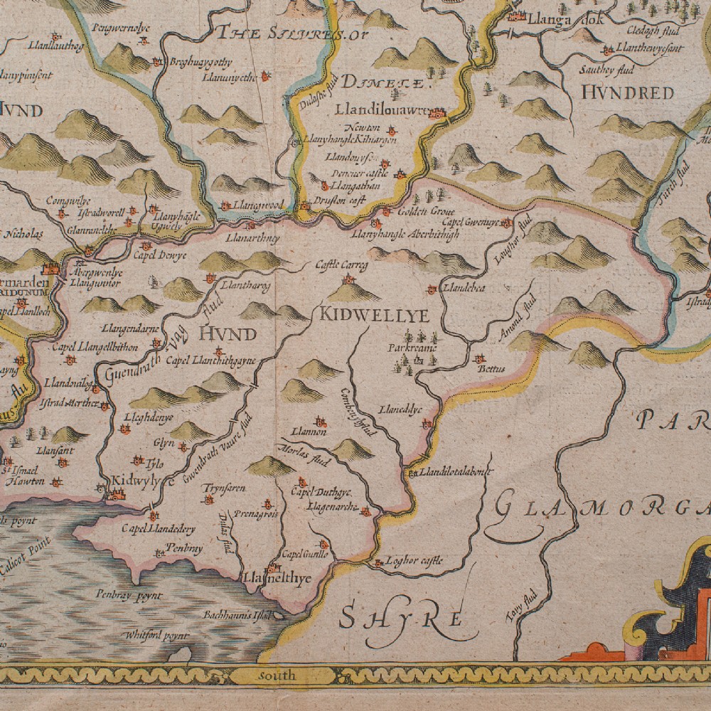
Excellent Jacobean period cartography by the renowned John Speed
Presented here from its later 1662 appearance in the 'Theatre of Great Britain' published by George Humble
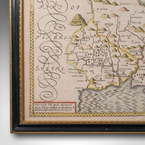
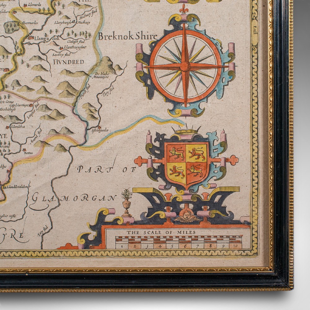
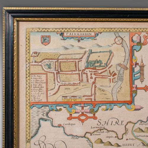
Charming detail, as expected from a John Speed map, with town plan and heraldry
Fascinating town plan excerpt shows Caermarden as it stood in the mid 17th century
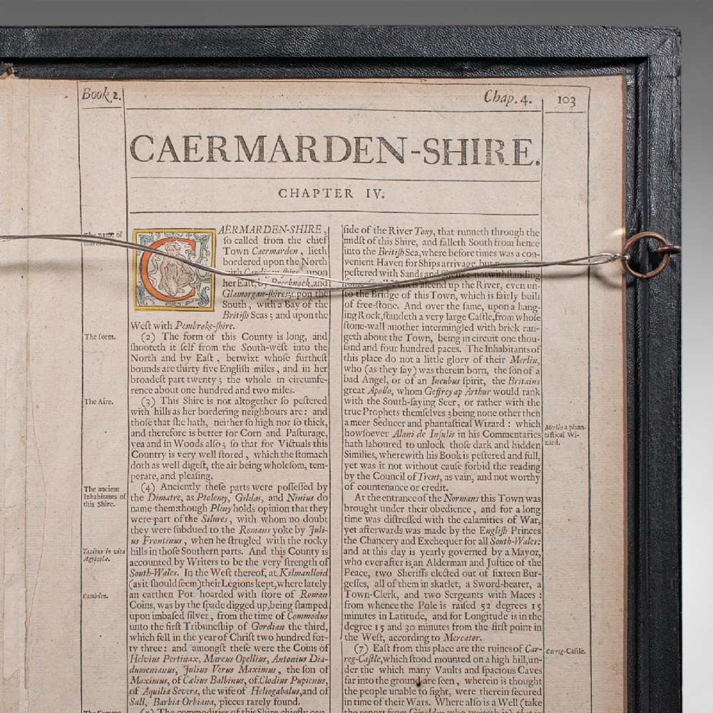
The reverse presents two pages from the atlas, referencing the Hundreds and locations within the county
The informative opposite page is dedicated to a history of the county
This is a delightful antique map of Carmarthenshire, being a typically desirable example by the renowned John Speed. Delivered ready to display.
Dimensions:
Max Width: 57cm (22.5'')
Max Depth: 1.5cm (.5'')
Max Height: 44cm (17.25'')
Map Width: 52.5cm (20.75'')
Map Height: 39.5cm (15.5'')
London Fine Antiques has dated this piece to the 17th Century.
Fine antiques curated in england and sold worldwide
You can view the stock and full dealer information on the London Fine Antiques Profile Page
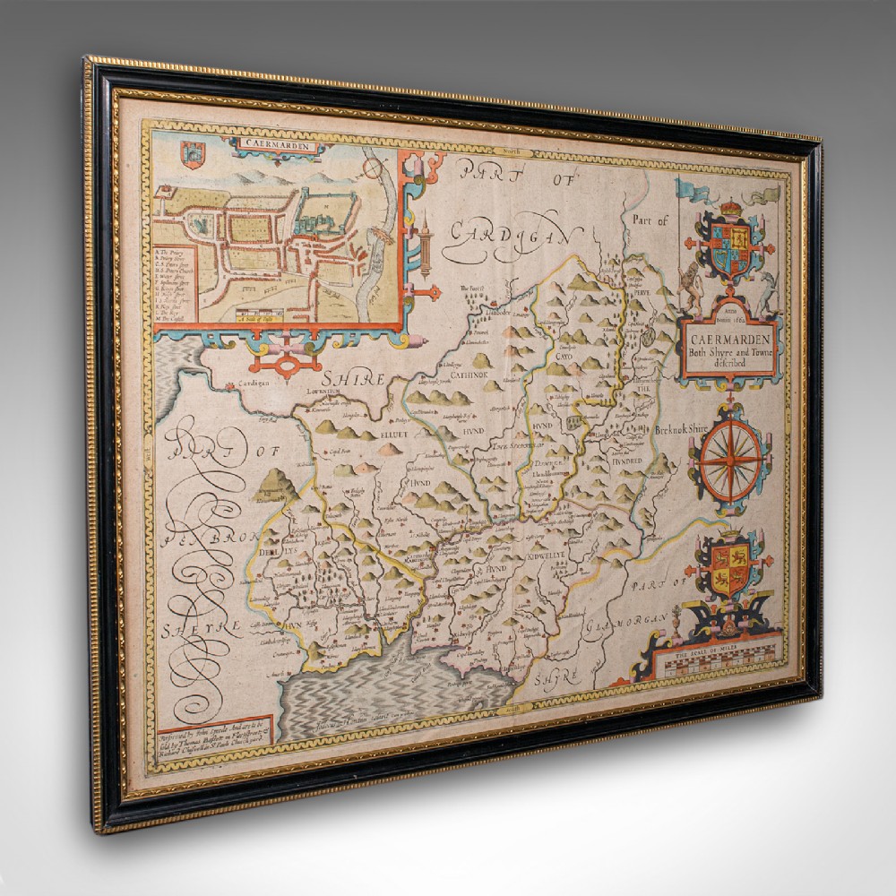
Antique Carmarthenshire County Map, Framed Wales Cartography, John Speed, C.1662