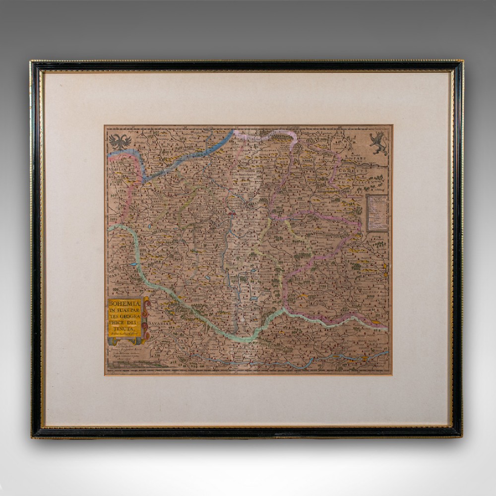
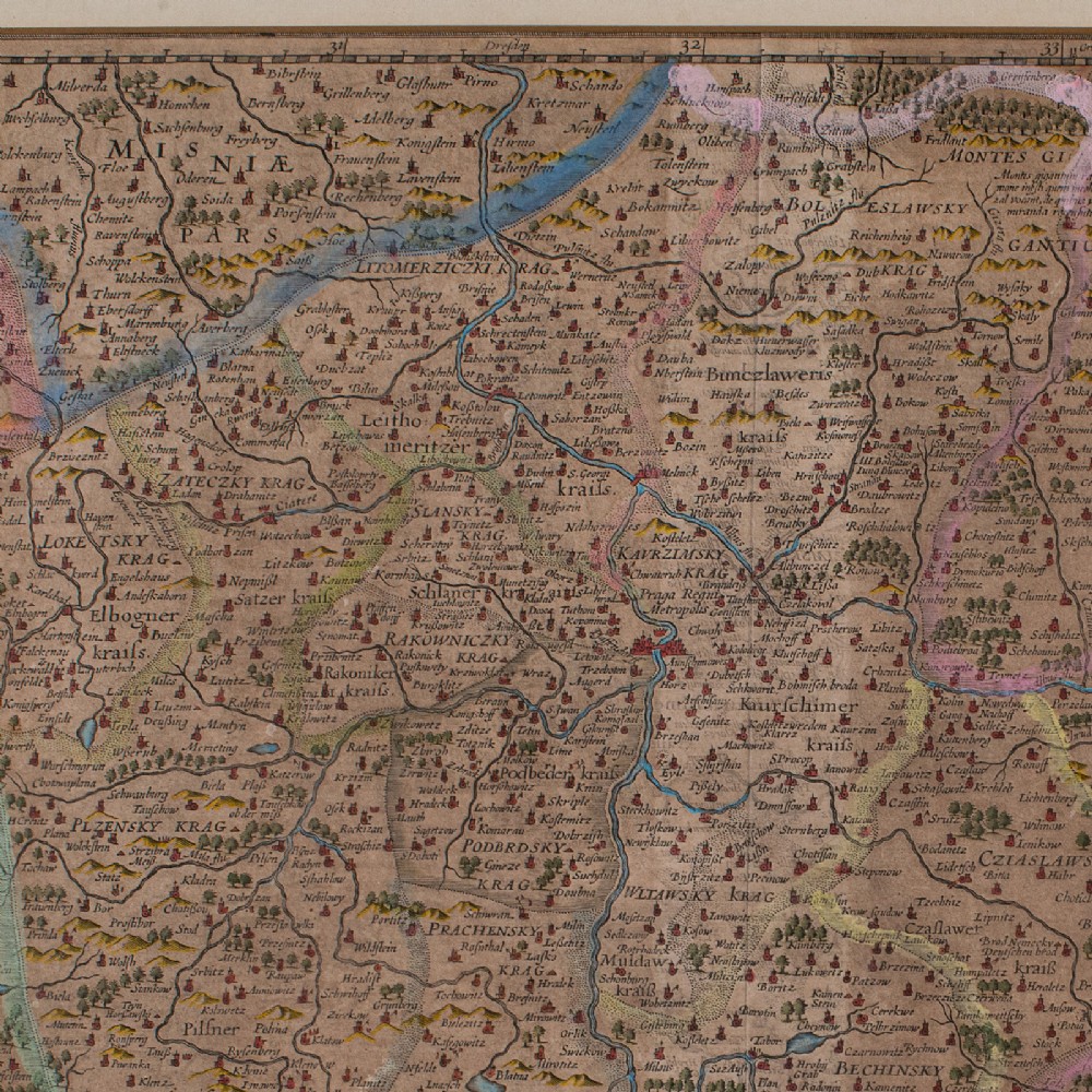
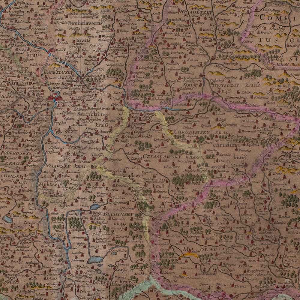
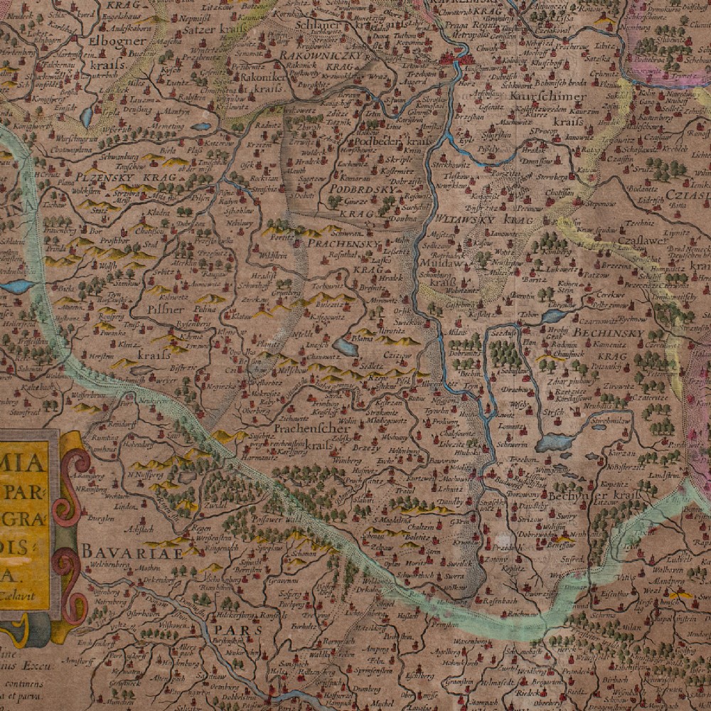
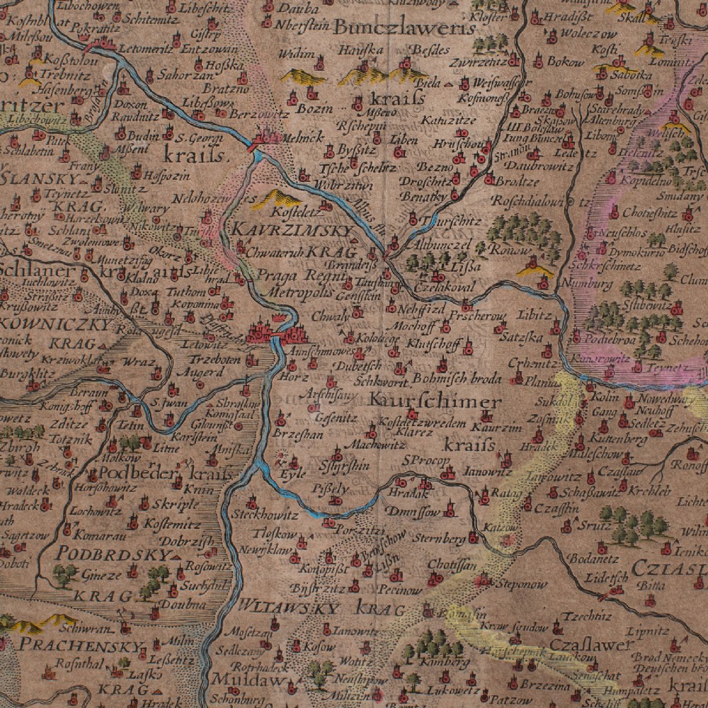
London Fine Antiques has dated this Antique Map of Bohemia to the 17th Century.
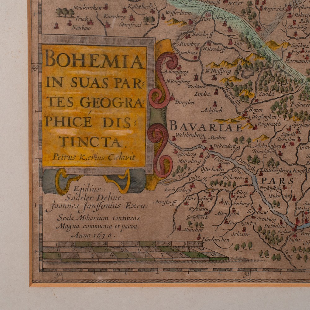
Full Title - Bohemia in Suas Partes Geographice Dis Tincta
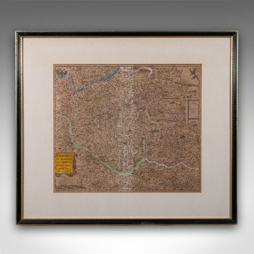
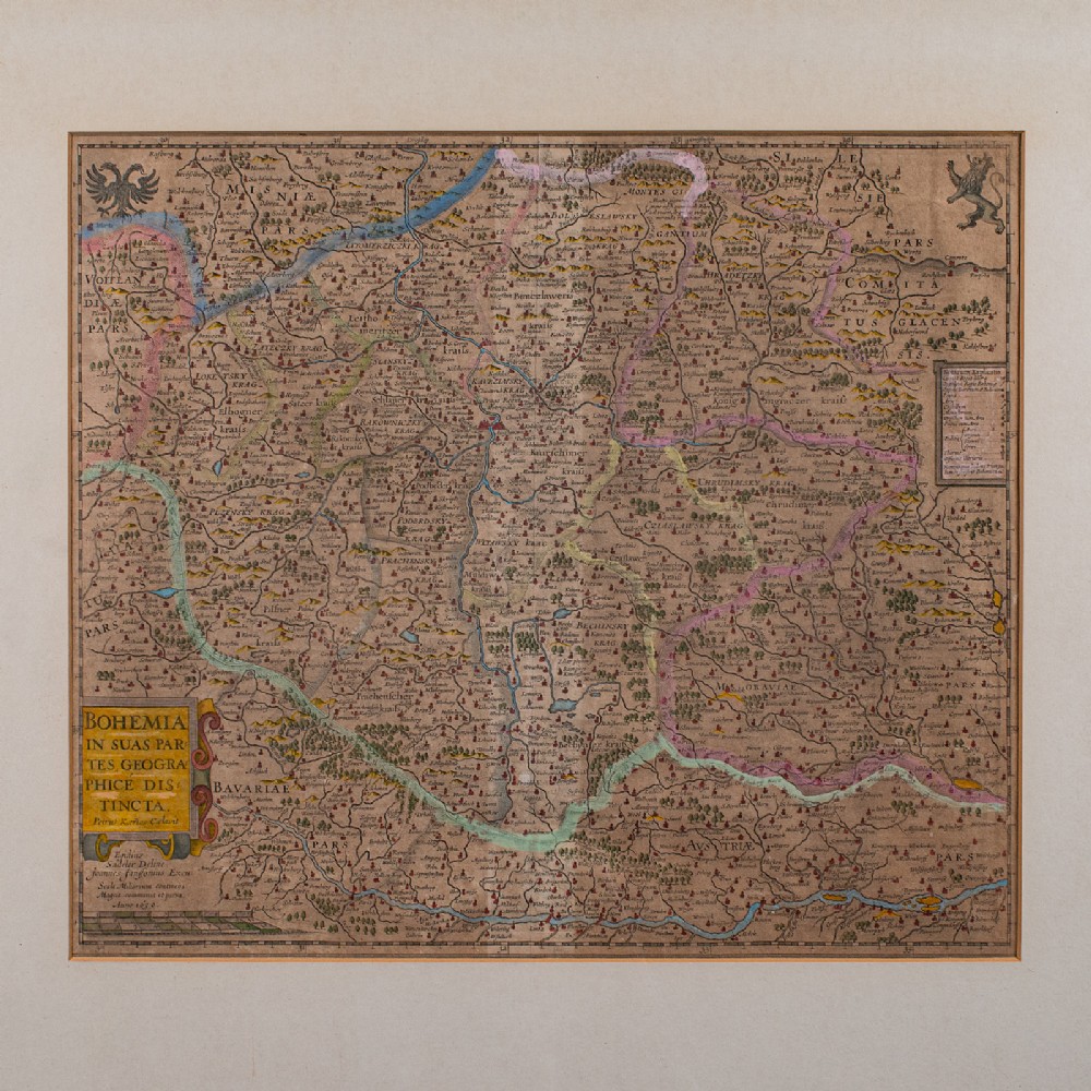
Fascinating cartography reproduction of Bohemia - perfect for display
Displaying a desirable aged patina with a lightly time-worn appearance to the map
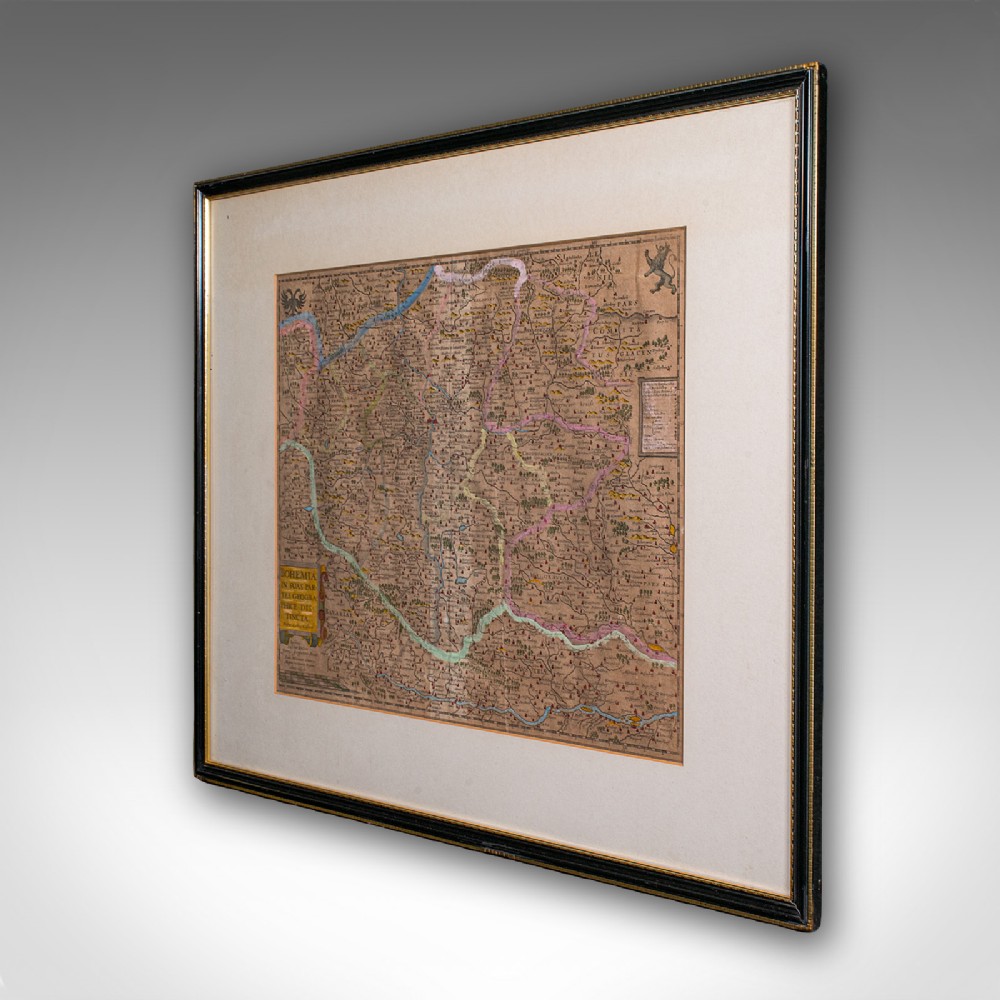
Historically appealing cartography, tastefully set within a later glazed frame
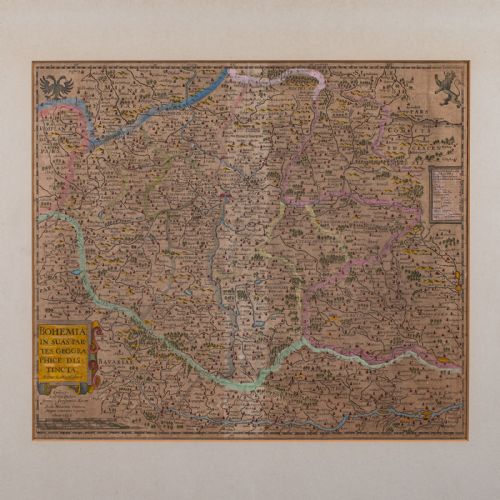
Compiled by the esteemed cartographer Johannes Janssonius (1588 - 1664)
Title presented in Latin, reading as 'Bohemia is geographically divided into its parts'
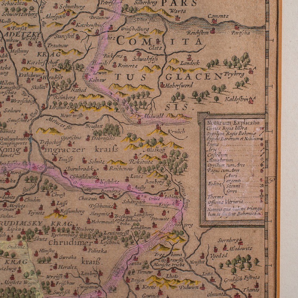
Gently aged hand colouring accentuates the map borders
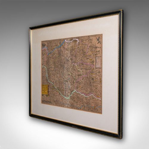
Informative key presents points of interest as featured within the map
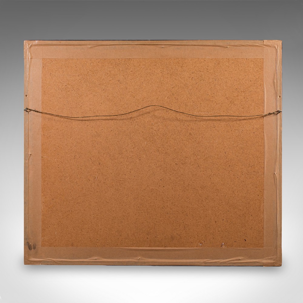
Dressed to the rear with hanging wire for ease of mounting
This is a charming antique map of Bohemia, with appealing cartographic interest. Ideal for collectors of historic European interest. Delivered ready to display.
Dimensions:
Max Width: 70cm (27.5'')
Max Depth: 3cm (1.25'')
Max Height: 61.5cm (24.25'')
Map Width: 46.5cm (18.25'')
Map Height: 40.5cm (16'')
London Fine Antiques has dated this Antique Map of Bohemia to the 17th Century.
Fine antiques curated in england and sold worldwide
You can view the stock and full dealer information on the London Fine Antiques Profile Page
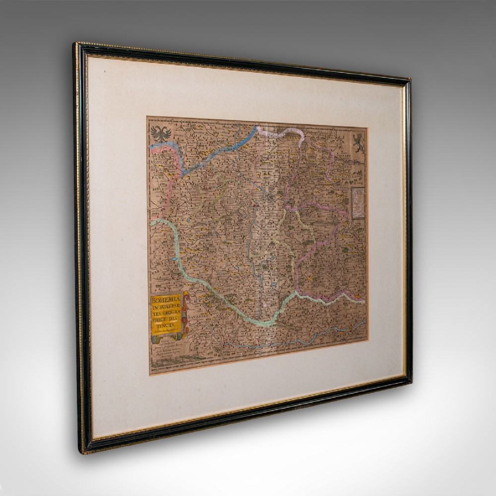
Antique Map of Bohemia, Dutch, Framed Cartography, Johannes Janssonius, C.1630