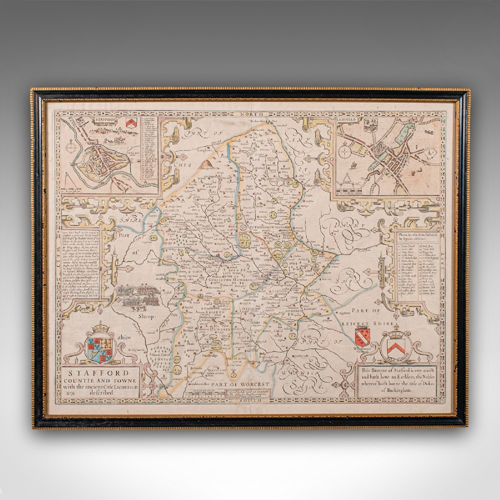
London Fine Antiques has dated this 17th Century County Map to the 17th Century.
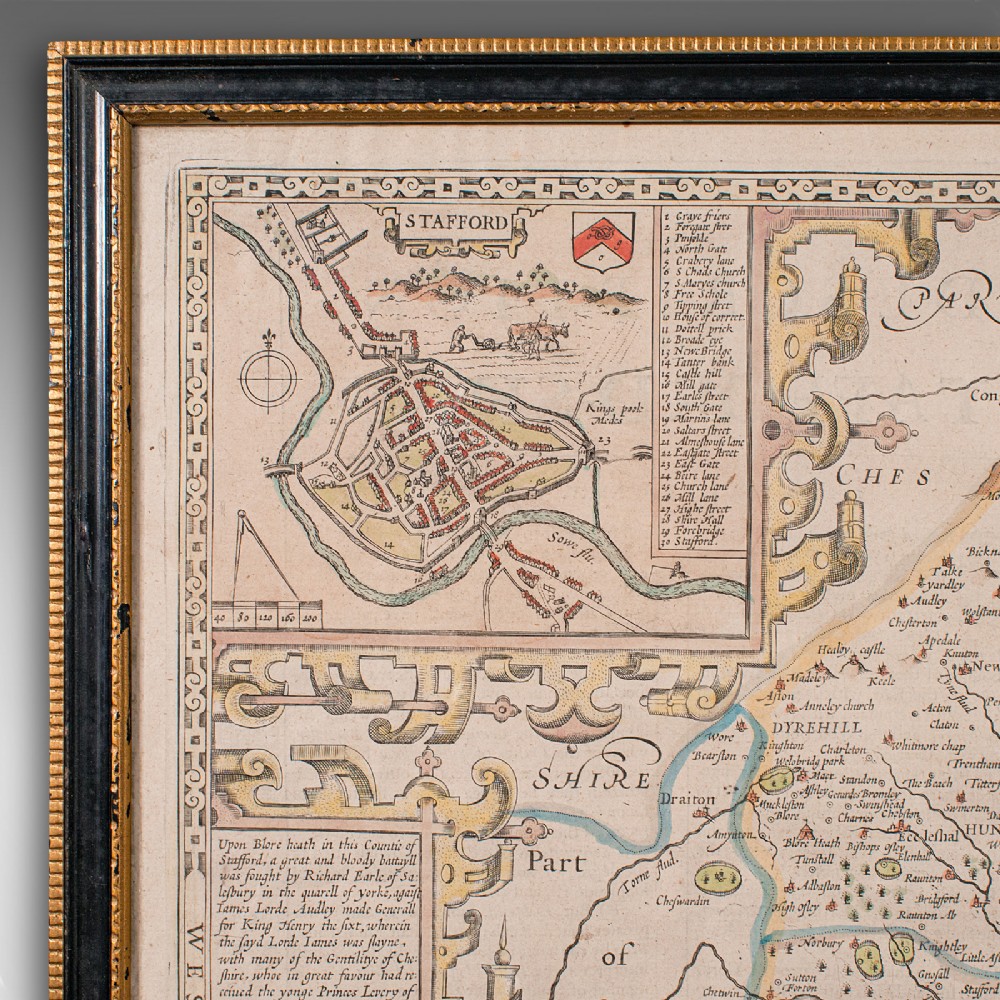
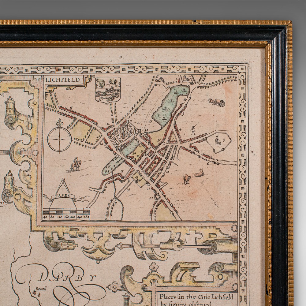
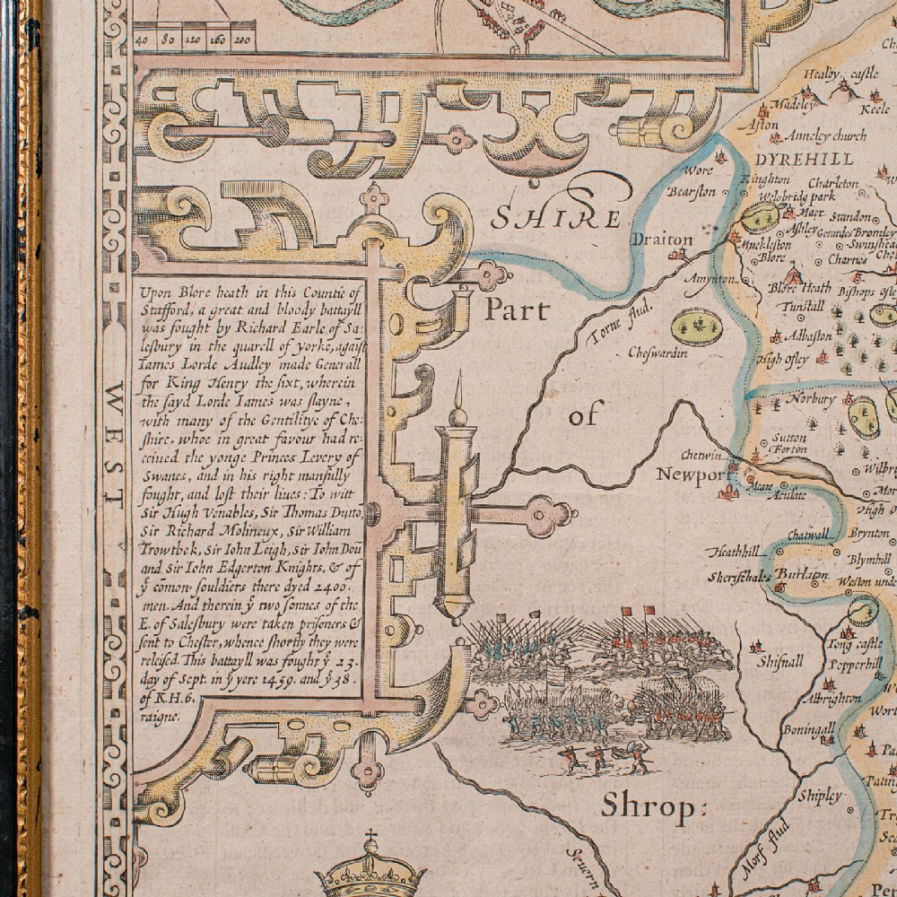
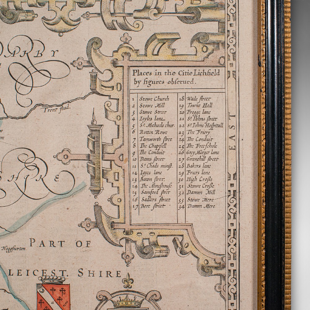
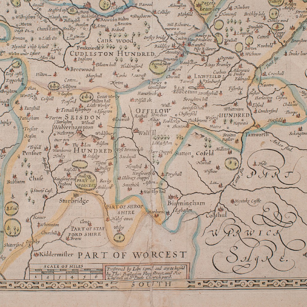
Superb cartography reproduction of Staffordshire - perfect for display
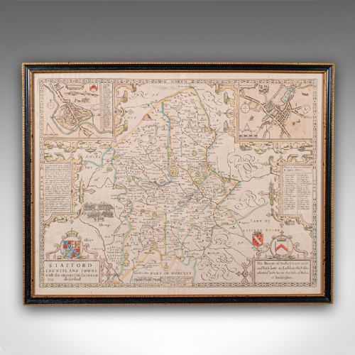
Displaying a desirable aged patina and in good original order
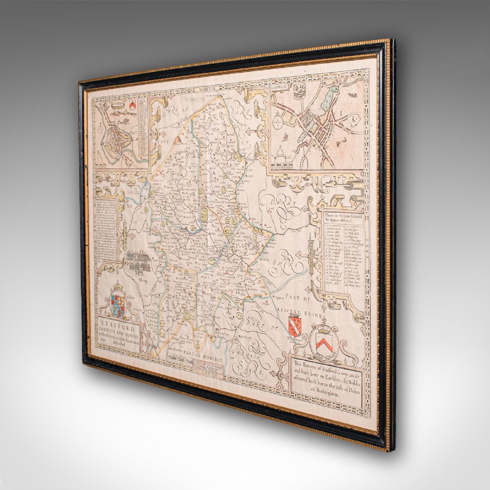
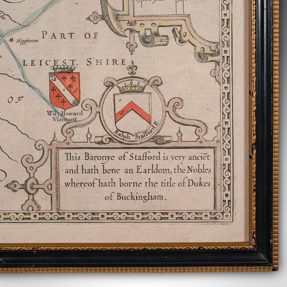
Fascinating cartography, appealingly set within a later glazed frame
Originally compiled by John Speed (1552 - 1629) in the early 17th century
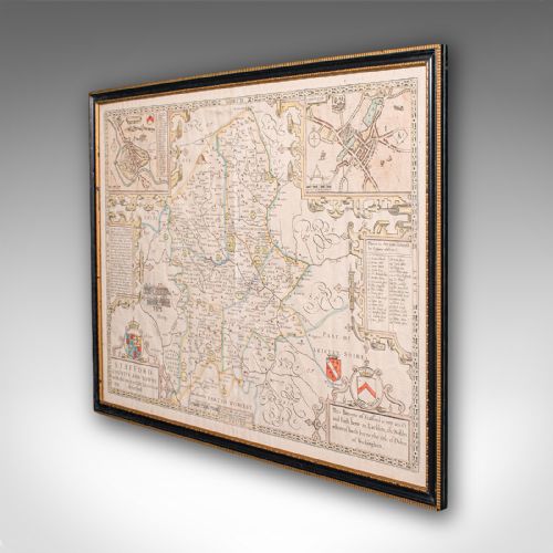
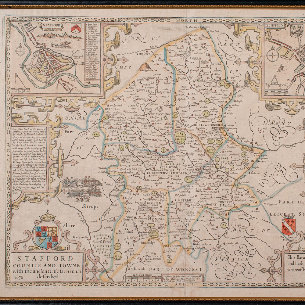
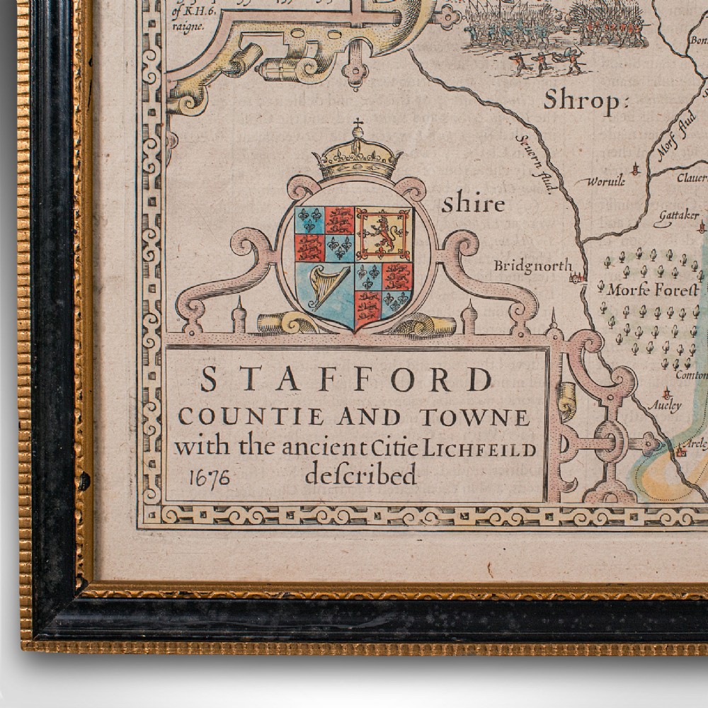
Hand coloured palette accentuates the map with crests and borders
Engraved here by R. White for The Theatre of the Empire of Great Britaine, a prominent 17th century publication
Town plans for Stafford and Lichfield provide great period detail
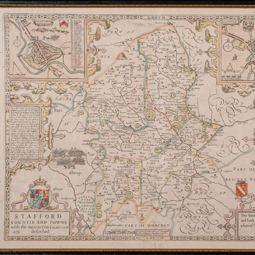
Atlas text to the reverse, visible under close inspection of the map
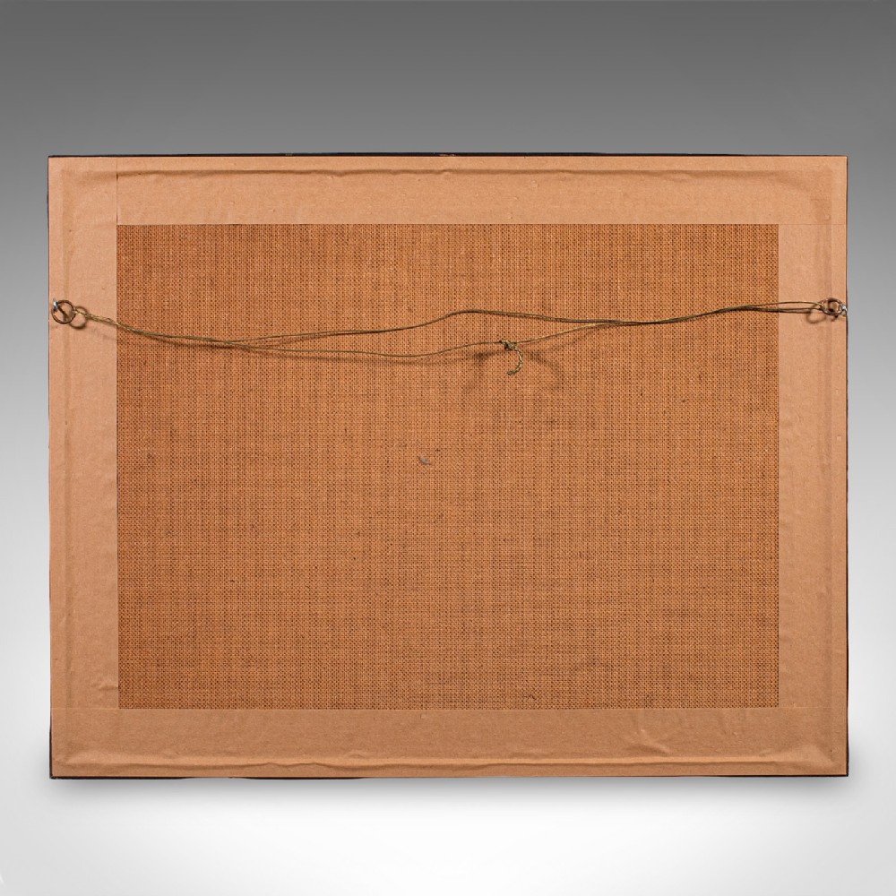
Dressed to the rear with hanging wire for ease of mounting
This is a quality antique Stafford County Map, with fine cartographic interest and a quality engraving of Speed’s work. Delivered ready to display.
Dimensions:
Max Width: 57.5cm (22.75'')
Max Depth: 2.5cm (1'')
Max Height: 44.5cm (17.5'')
Map Width: 51cm (20'')
Map Height: 38.5cm (15.25'')
London Fine Antiques has dated this 17th Century County Map to the 17th Century.
Fine antiques curated in england and sold worldwide
You can view the stock and full dealer information on the London Fine Antiques Profile Page
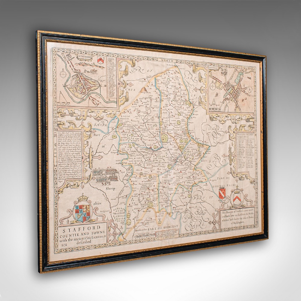
Antique Stafford County Map, English, Atlas Engraving, 17th Century, Cartography