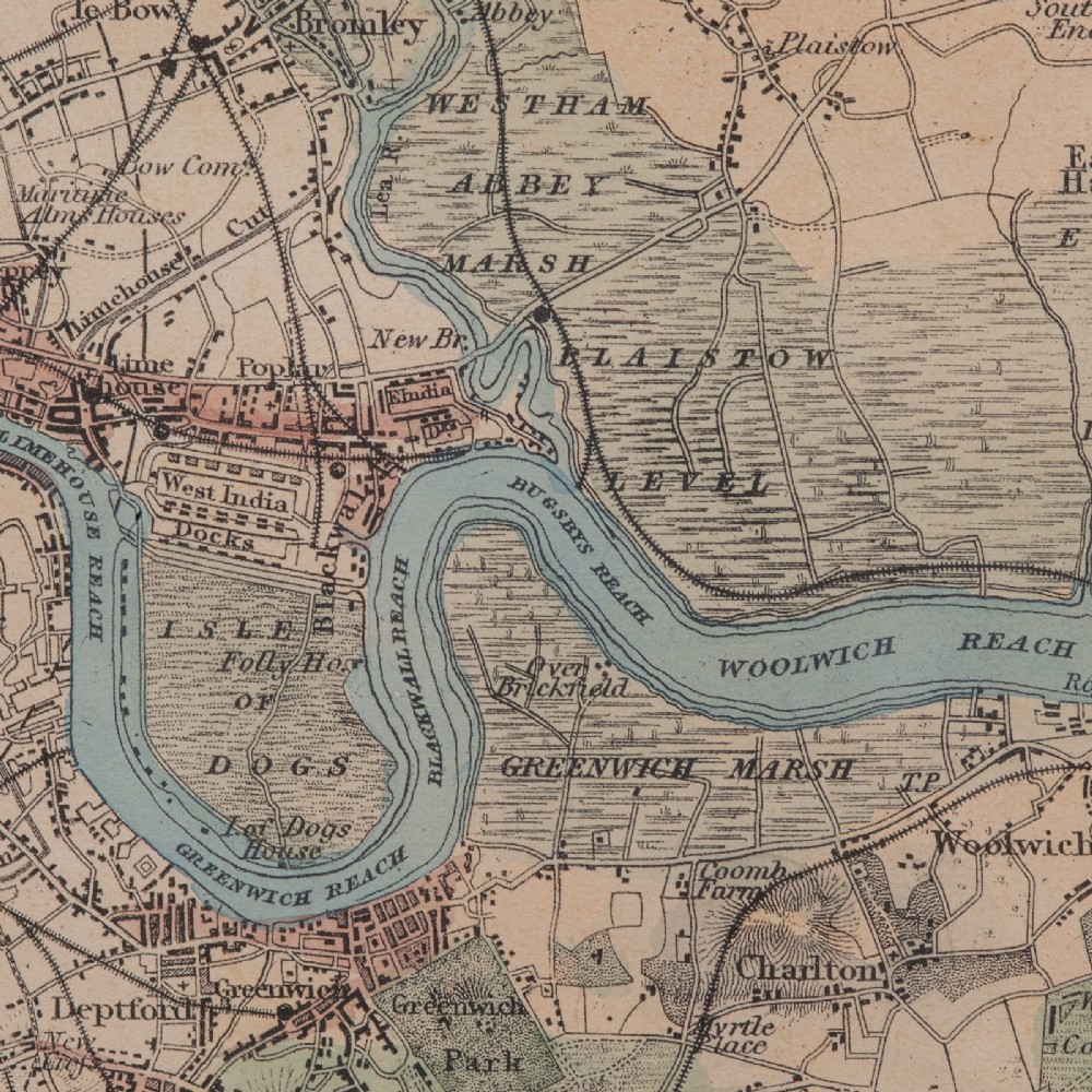
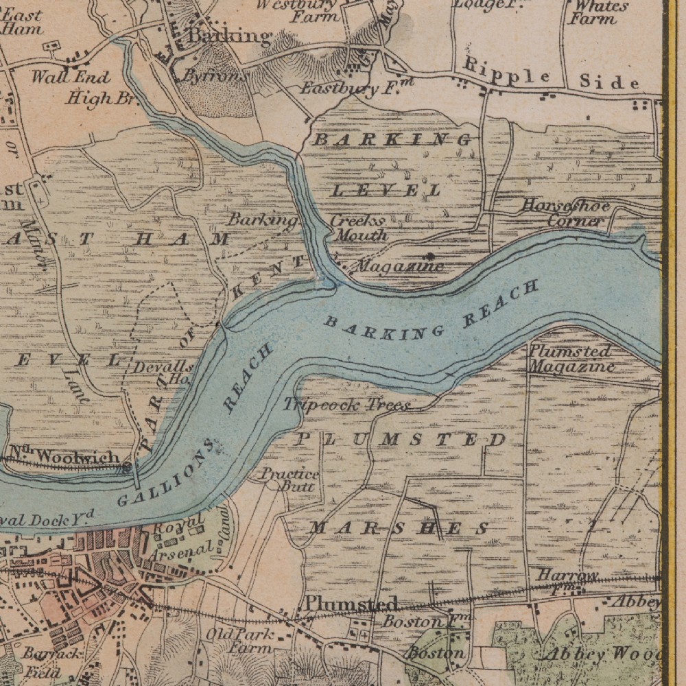
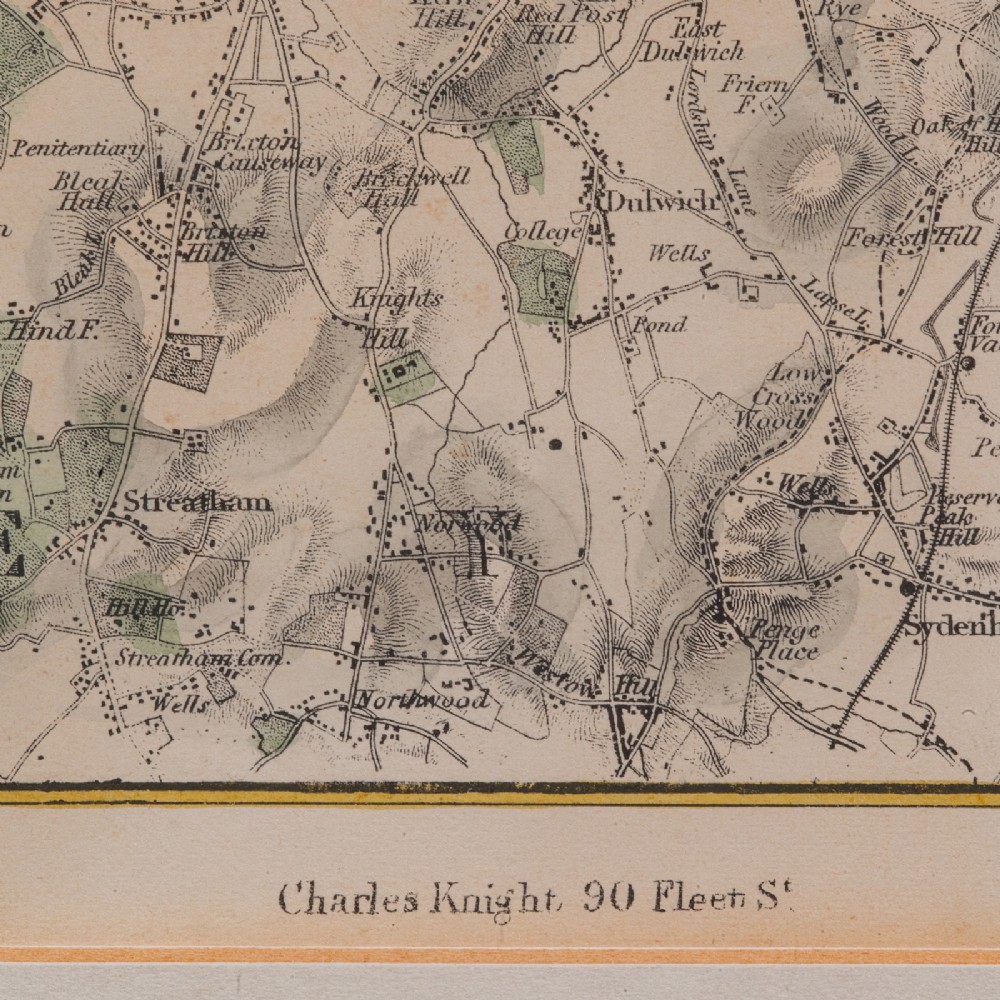
London Fine Antiques has dated this piece to the Victorian era.
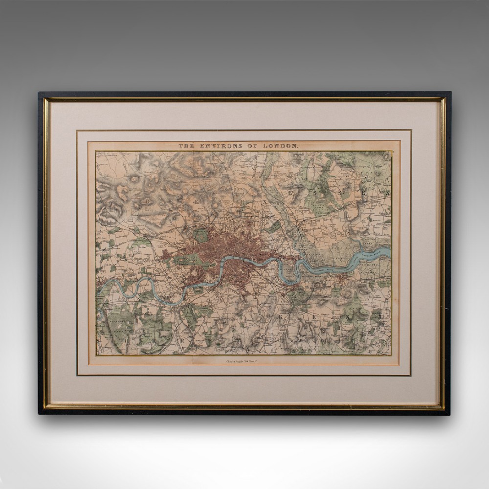
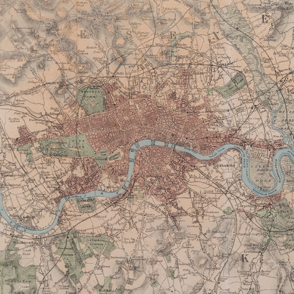
A wonderfully presented, hand-coloured map of the City of London and the surrounding boroughs, tastefully mounted within a later frame.
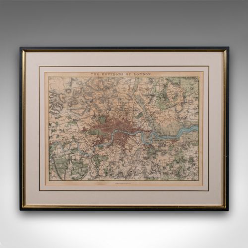
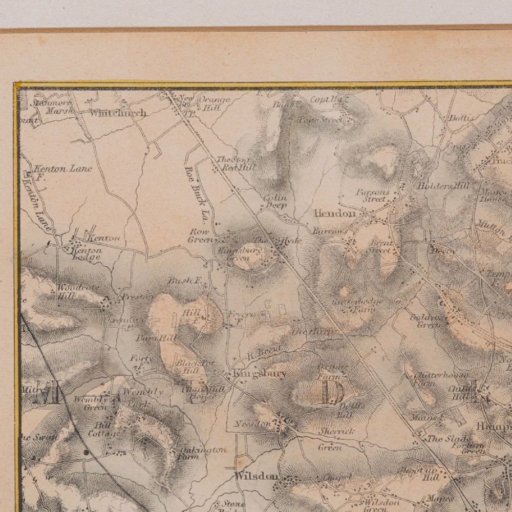
Quality engraving on paper from the original cartography
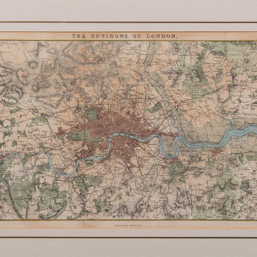
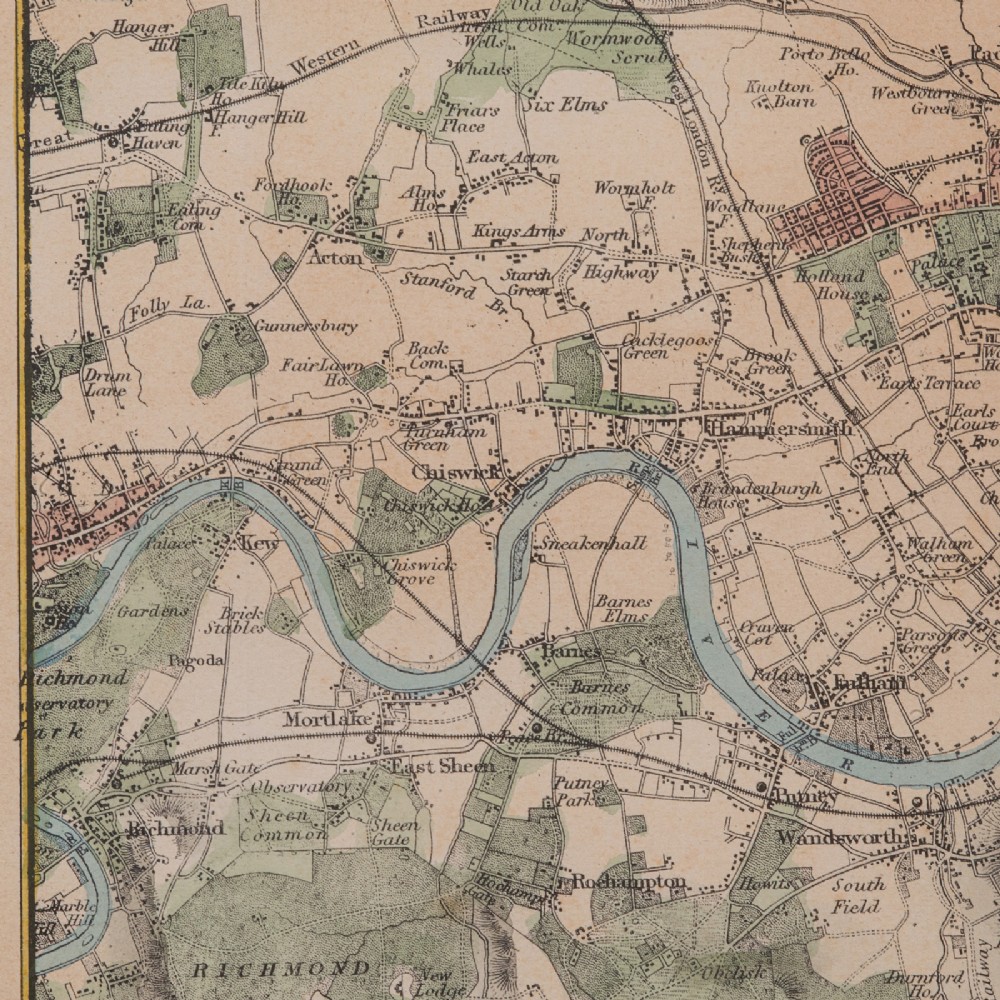
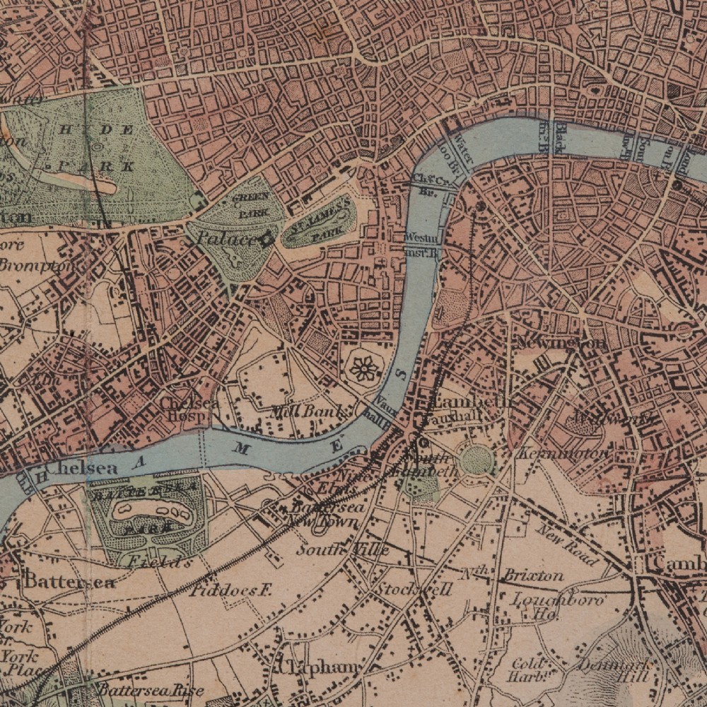
Colour used to key the city in red, parks in green and the Thames in blue
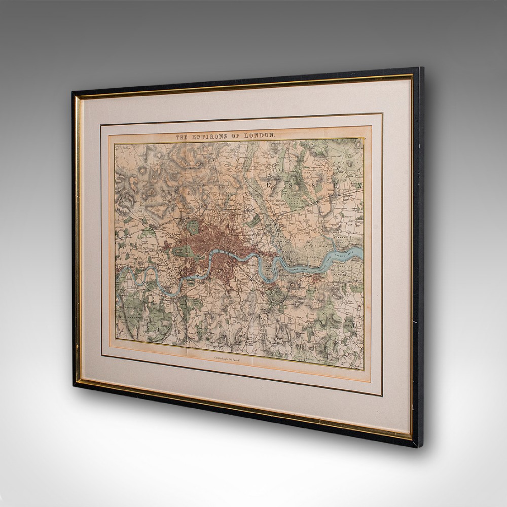
Presented behind clear glass within an ebonised frame with gilt border
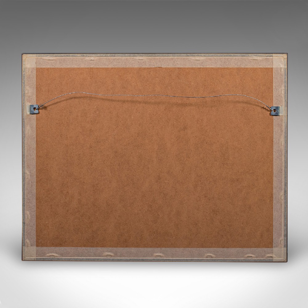
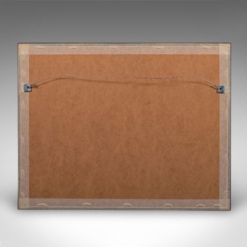
Framed dressed to the tear with mounting braid for ease of hanging
Maps London from Tottenham Park in the North to Bromley Hill in the south
From the West at Richmond across to the eastern reaches of lower Essex and North West Kent
Individual street detail to the city shows a keen eye for cartographical accuracy
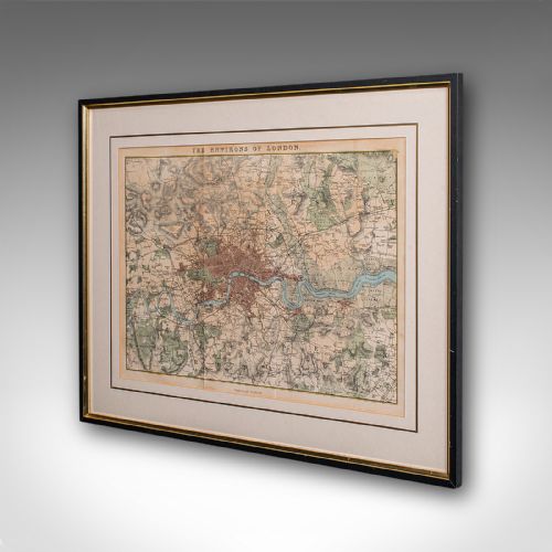
Bears the name of map publisher Charles Kent with his premises given within the city as 90 Fleet Street
A joy for the collector of London mapping, or interest in the capital city, this is a fascinating antique map of London and its environs, with a well presented representation in colour and tastefully mounted. Delivered ready to display.
Dimensions:
Max Width: 48cm (19'')
Max Depth: 1cm (.5'')
Max Height: 37.5cm (14.75'')
Map Width: 34cm (13.5'')
Map Height: 25cm (9.75'')
London Fine Antiques has dated this piece to the Victorian era.
Fine antiques curated in england and sold worldwide
You can view the stock and full dealer information on the London Fine Antiques Profile Page
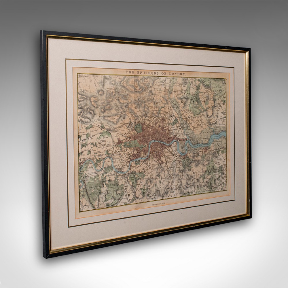
Antique Map, the Environs of London, English, Framed City Plan, Victorian, 1850