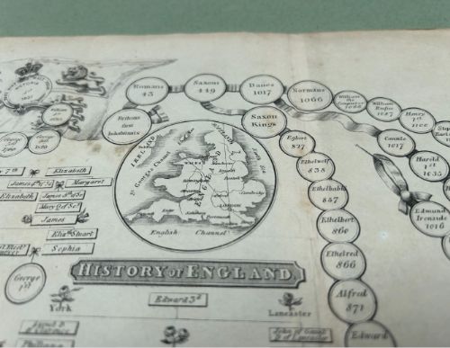
Strickland & Russell has dated these 18th Century Copperplate Maps to the 1800s.
Surface: Laid and wove paper, hand-coloured
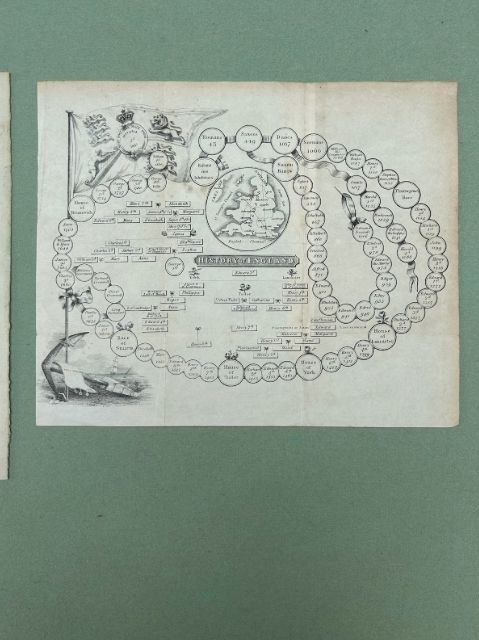
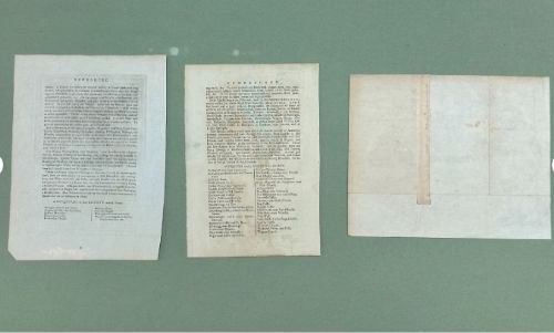
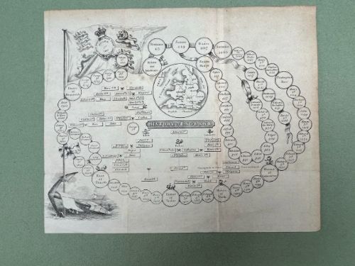
Description: A charming trio of antique printed works:
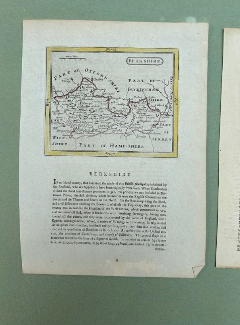
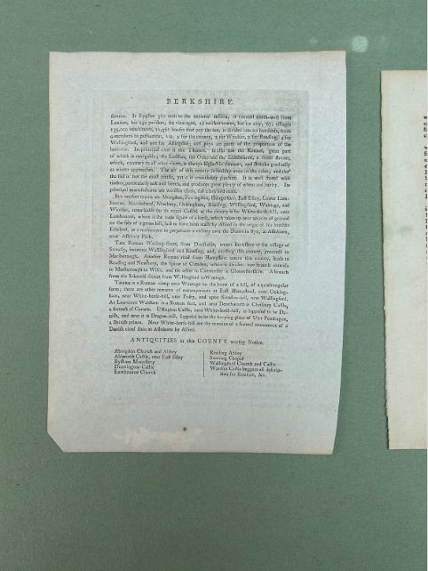
A hand-coloured map of Berkshire, with accompanying printed text describing the county’s geography, history, and notable antiquities.
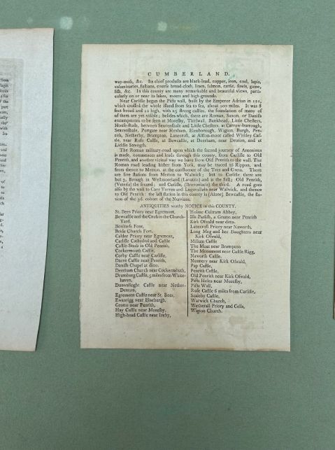
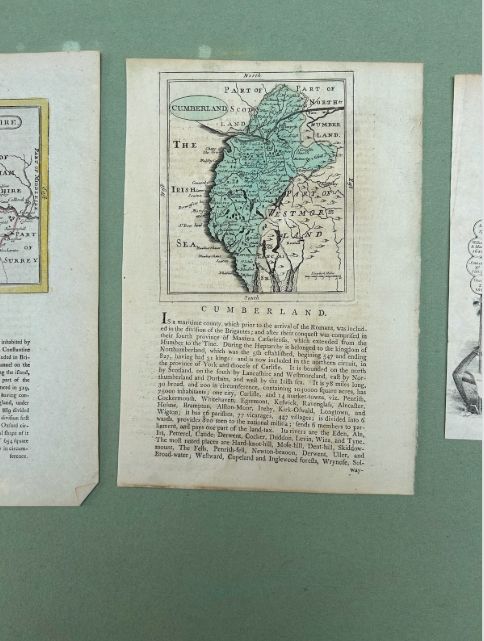
A hand-coloured map of Cumberland, also with extensive descriptive text verso.
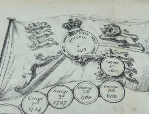
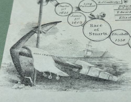
Together these provide a fascinating insight into English history, geography, and cartography from the Georgian period.
Approximate date: Late 18th to early 19th century (c. 1780–1820).
Condition Report: The maps and chart show some toning, folds, and minor handling marks consistent with age. Hand colouring remains attractive and clear. Please examine photographs for full condition detail.
Size: Each sheet approx. 27 × 22 cm
Strickland & Russell has dated these 18th Century Copperplate Maps to the 1800s.
Yorkshire based art dealers specialising in 19th century & early 20th century oil paintings & watercolours
You can view the stock and full dealer information on the Strickland & Russell Profile Page

Three Original Late 18th Century Antique Maps - Berkshire & Cumberland Hand-coloured Maps + England Timeline Copperplate Engravings