Strickland & Russell has dated this Antique West Indies Map to the 1800s.
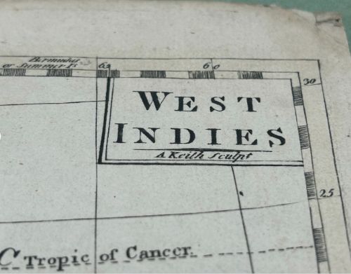
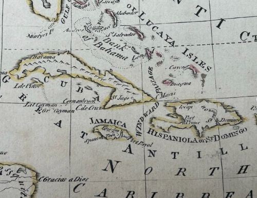
Engraver / Publisher: Engraved by A. Keith (sculpt.)
Published c.1790–1810 (Georgian period)
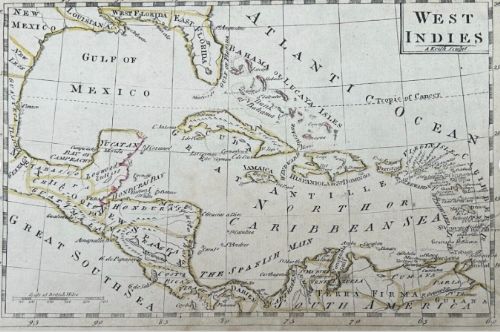
Surface: Laid paper, with original outline hand-colour
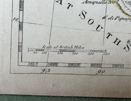
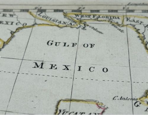
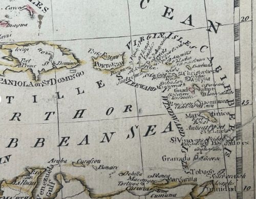
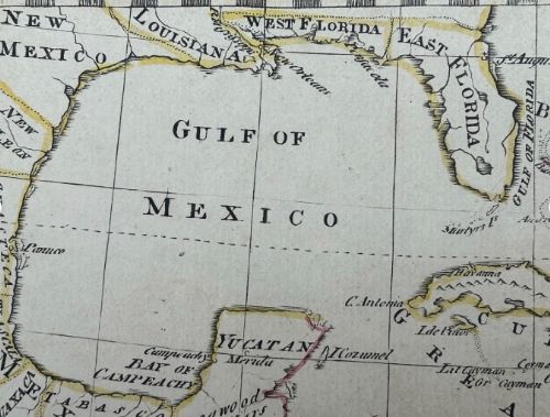
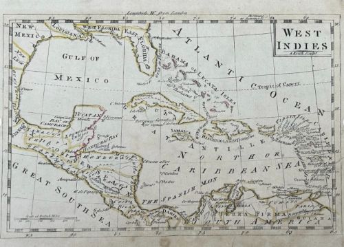
Subject: Early map of the West Indies / Caribbean, showing the islands of Cuba, Jamaica, Hispaniola, the Virgin and Windward Isles, as well as the Gulf of Mexico, Yucatan, and parts of northern South America. Notably marked East Florida and West Florida before U.S. consolidation.
Is the artwork mounted or framed? Unmounted, unframed (as shown)
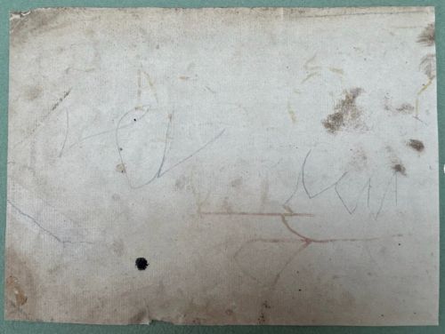
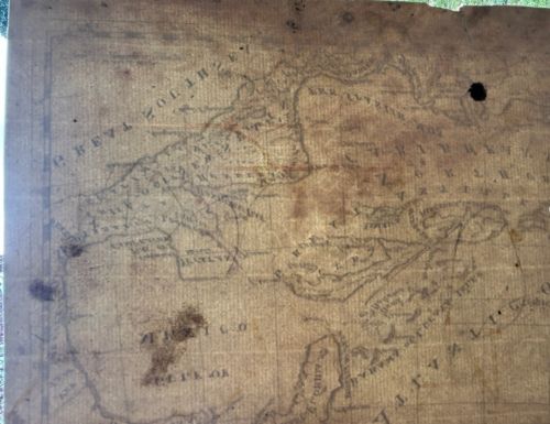
Some age toning, margin wear, faint handling marks and verso notations present, as photographed. Minor signs of use consistent with an early 19th century engraved map. Please study all images carefully as they form part of the description.
Approximate size (sheet): c. 25 x 18.5 cm
Strickland & Russell has dated this Antique West Indies Map to the 1800s.
Yorkshire based art dealers specialising in 19th century & early 20th century oil paintings & watercolours
You can view the stock and full dealer information on the Strickland & Russell Profile Page

Original 17th/18th Century Antique Copper Engraving Hand-coloured Map – West Indies / Caribbean by A. Keith, C.1790–1810