You can contact us with the problem you are having and we will investigate.
Stripe Online Payments
Sellingantiques have now partnered with Stripe card processing to give you a seamless purchase experience of antiques on sellingantiques.
Millions of companies of all sizes use Stripe online to accept payments and is the worlds No.1 payment gateway.
So how does it work: Look for the button in the antique details page to instantly purchase antiques from dealers who have activated Stripe online payments.
You can now easily filter and show antiques that only have this option enabled.
Using this button notifies us immediately that you have purchased this item. Once you have made the payment we will instantly mark it as sold to ensure that no one else can buy it.
Discounts can also be made available.
We are always improving the purchase experience for both buyer and seller and more and more dealers are enabling this option each week.
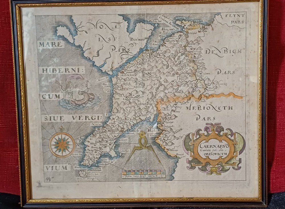
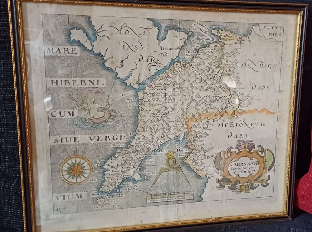
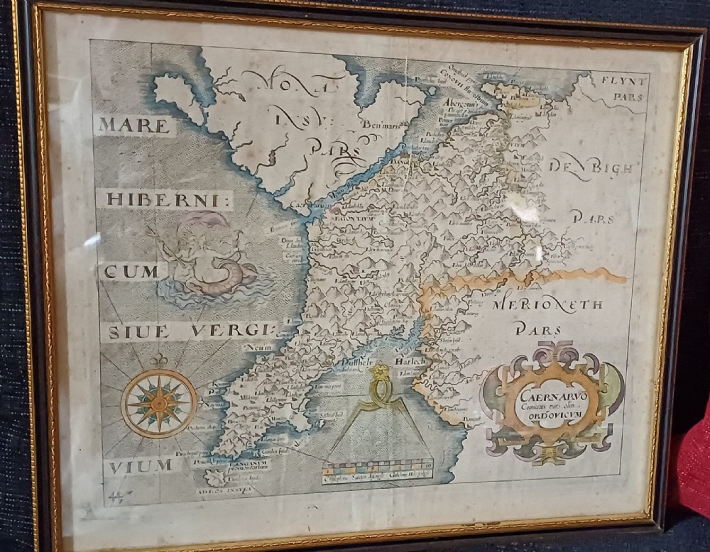
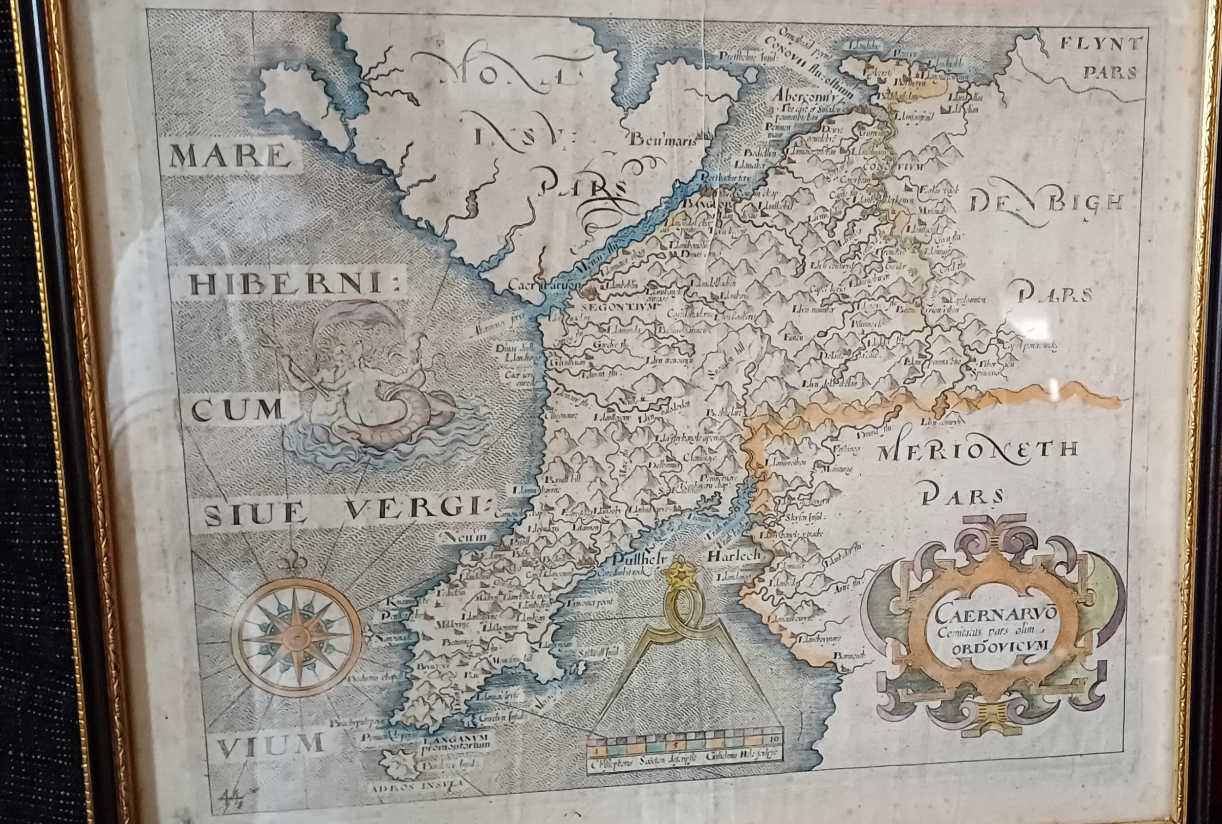
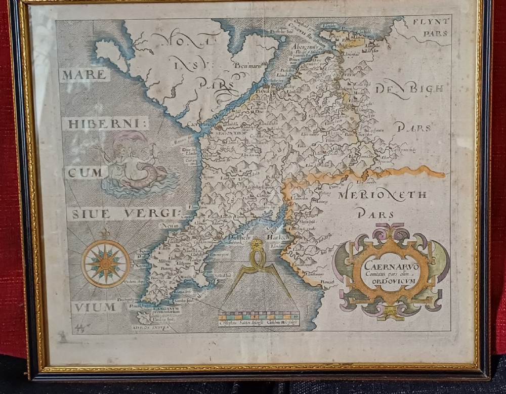
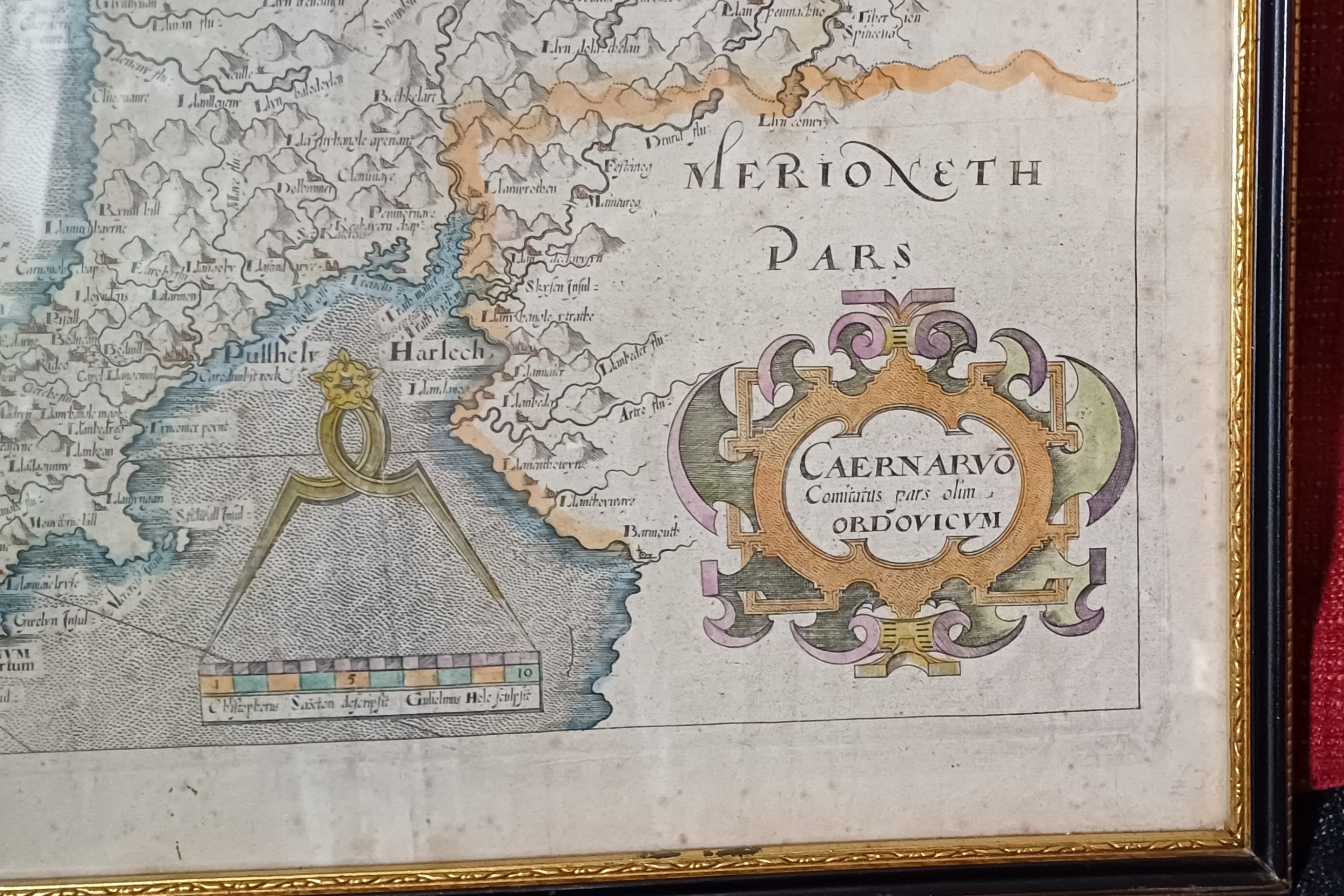
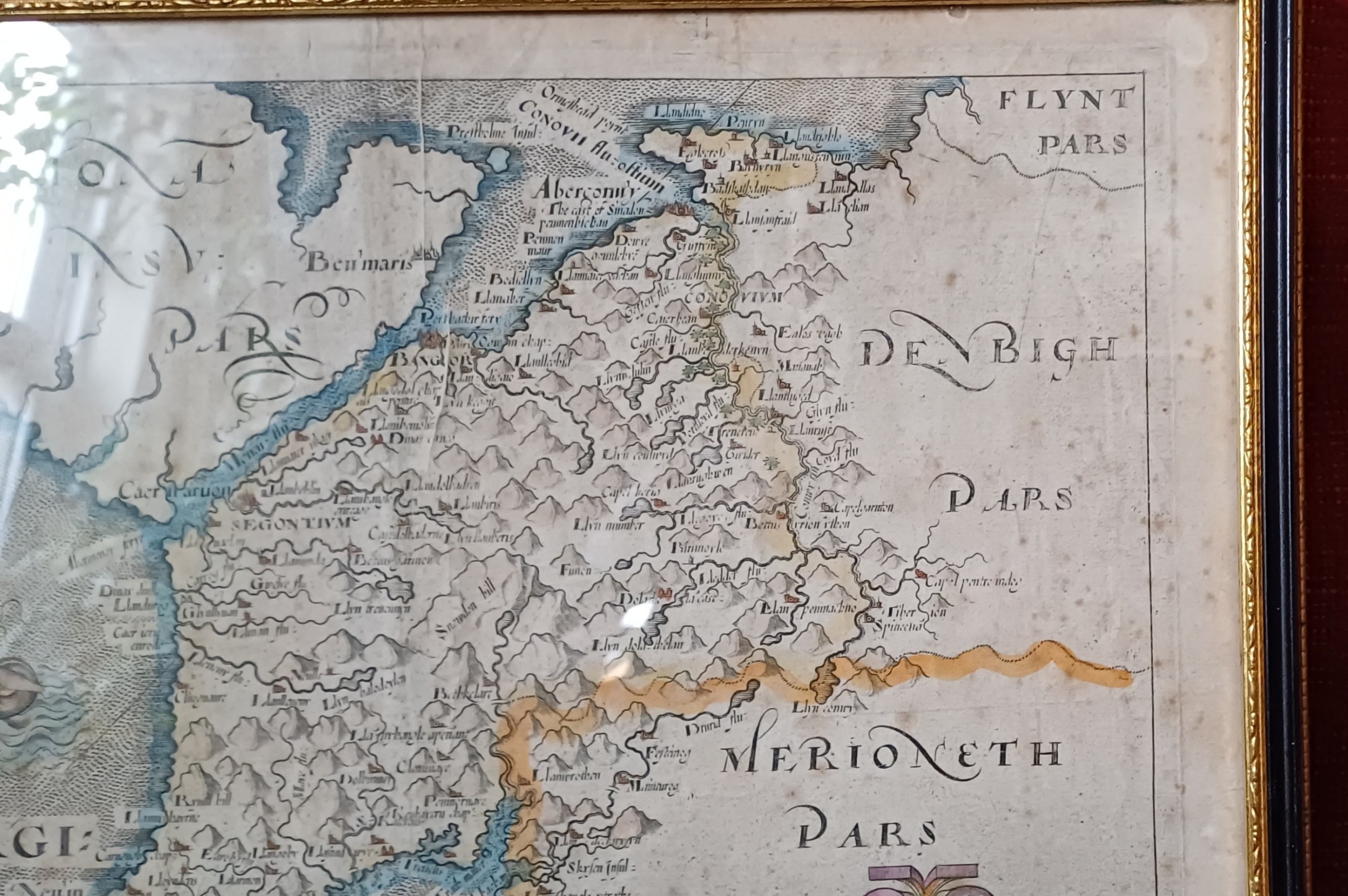
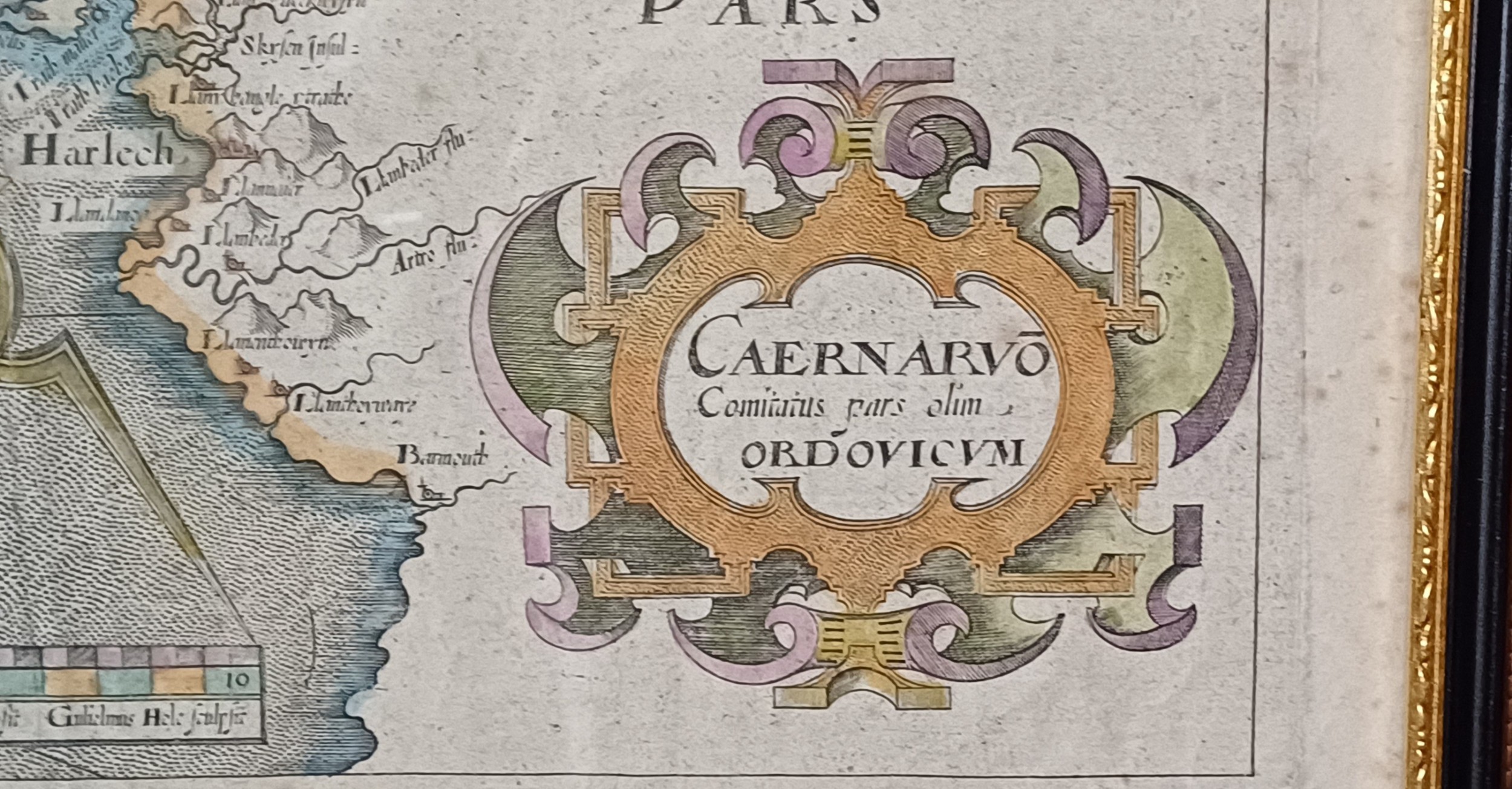
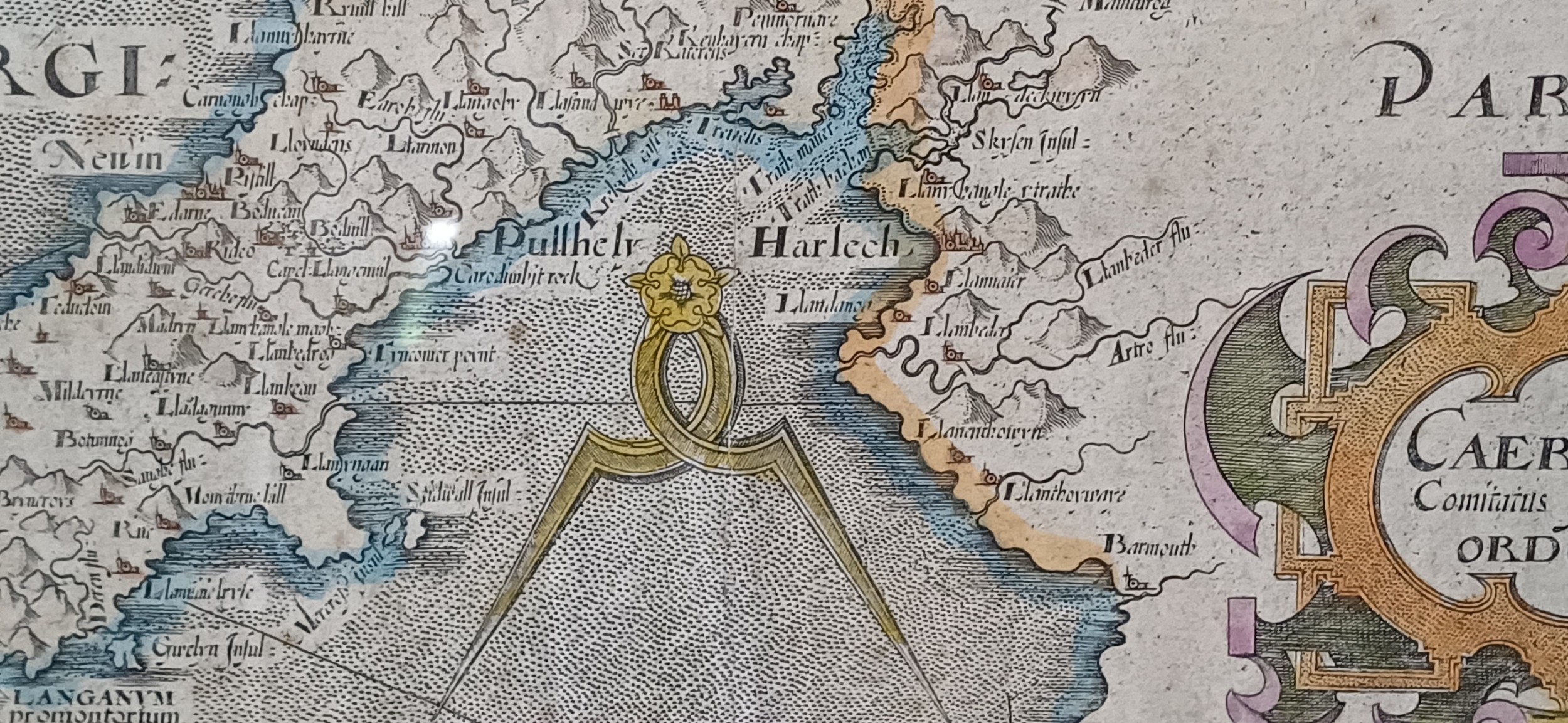
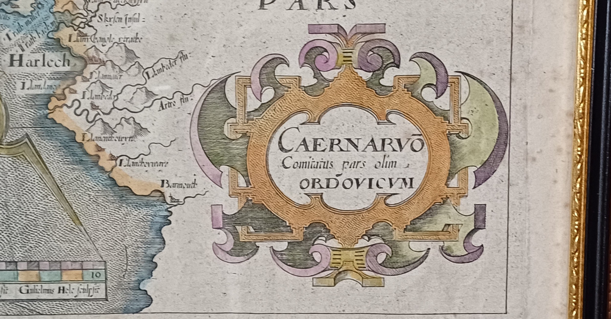
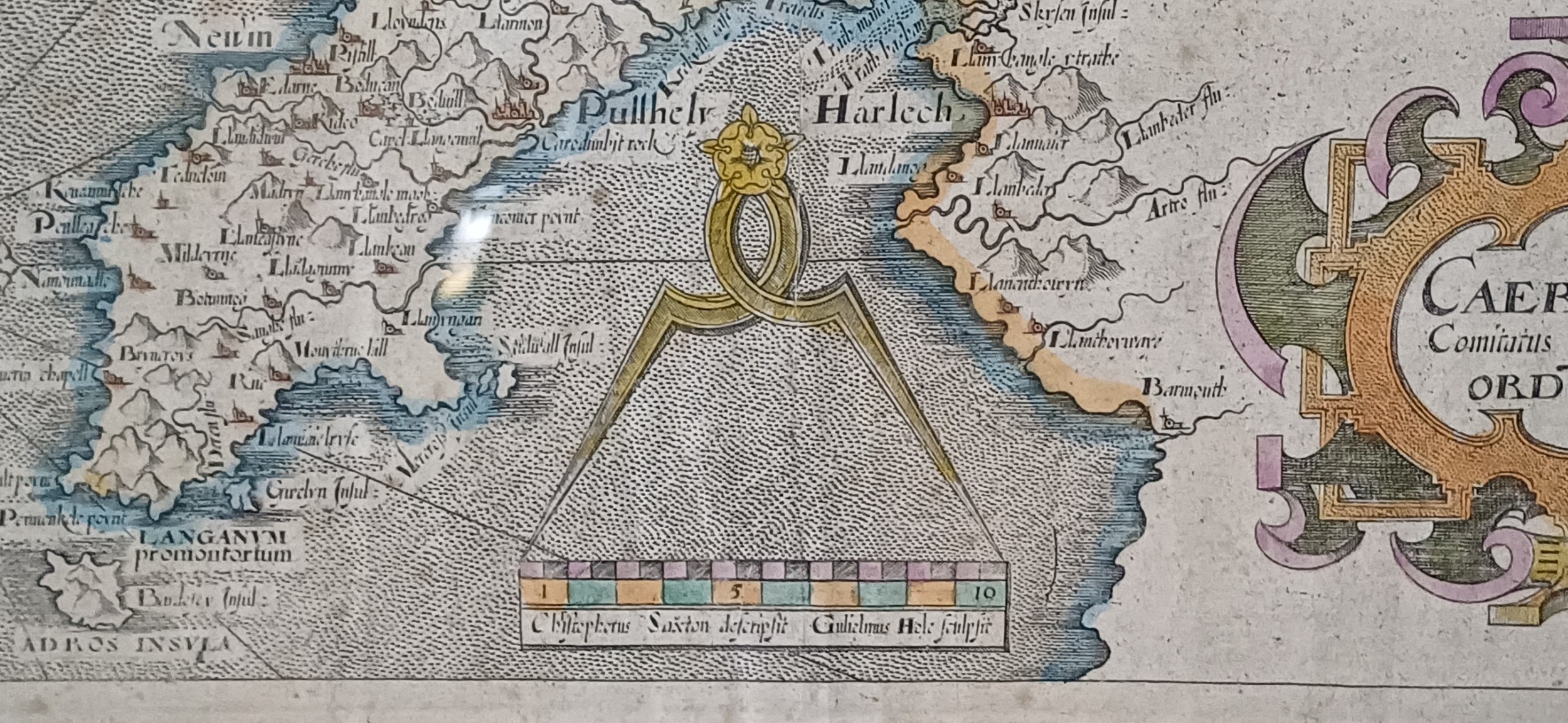
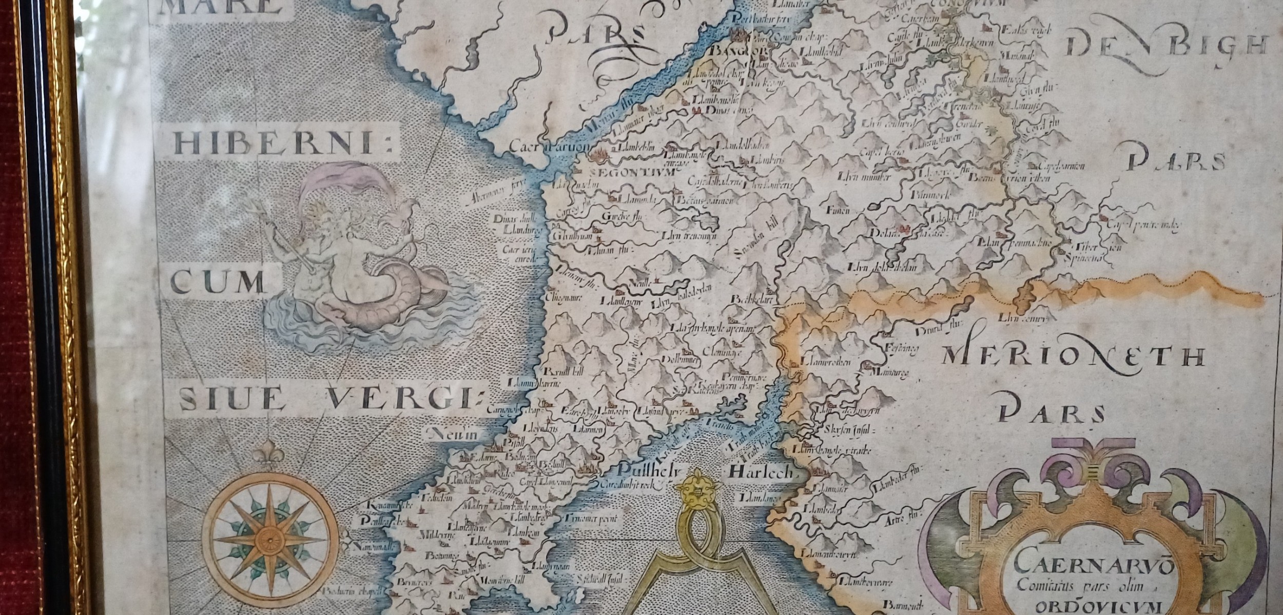
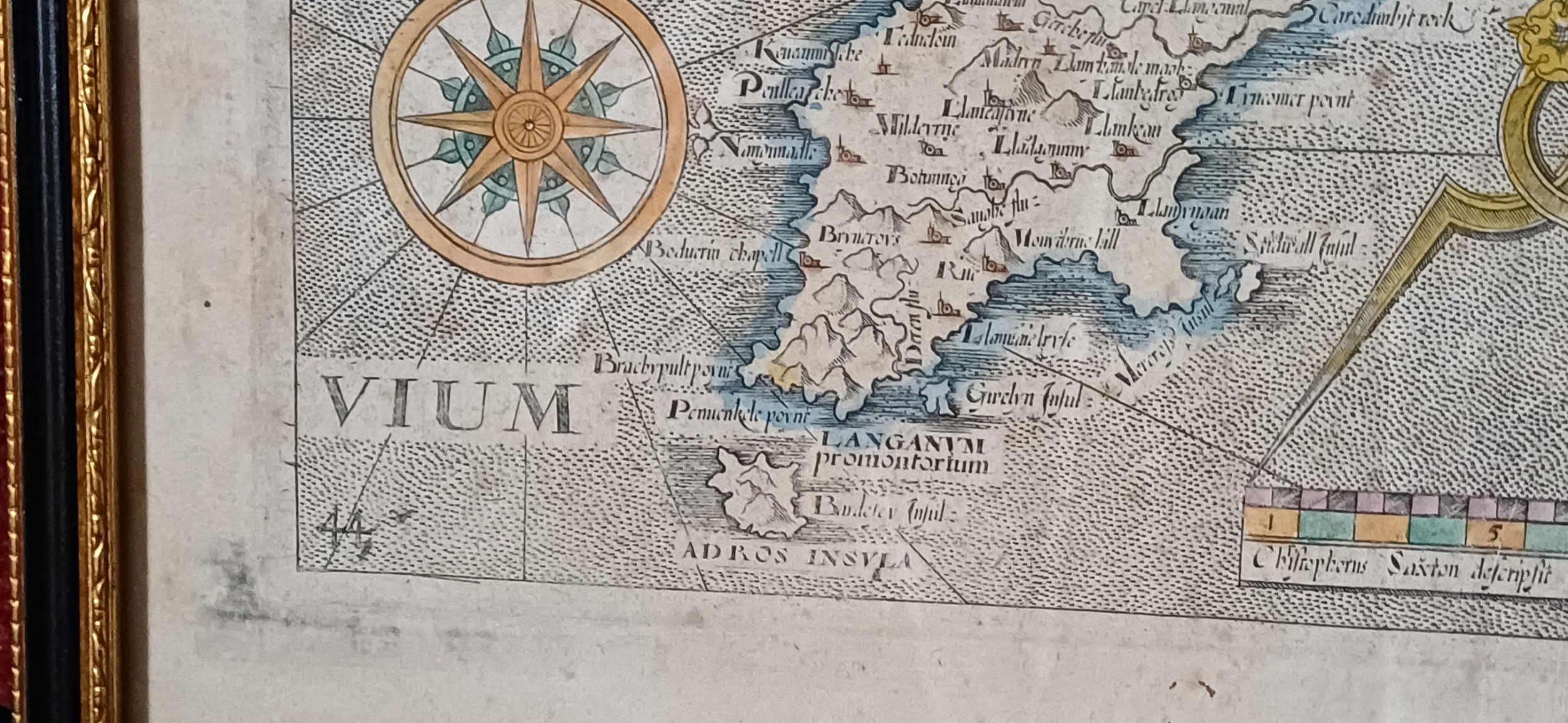
Map Of Caernarvonshire – Based On Saxton's 1579 Map, Reduced By William Hole For Camden’s Britannia (1637 Edition)
£245 $328 €287
This map of Caernarvonshire is the earliest available single-sheet representation of the county, based on Christopher Saxton’s 1579 map but reduced in size by William Hole for the 1637 edition of William Camden’s Britannia. Britannia, Camden’s monumental geo-historical survey of Great Britain and Ireland, was first published in 1586 and quickly gained popularity. Inspired by the success of Saxton’s county atlas, Camden began planning to include maps in his work by 1589. However, it wasn’t until the sixth edition in 1607 that Britannia featured a full set of county maps. These visual additions revitalized the publication, making it a standard reference in libraries for centuries. Later editions continued to appear into the early 19th century, though the maps were eventually replaced by newer versions. The maps from the 1607, 1610, and 1637 editions—commonly referred to as the Saxton-Kip or Saxton-Hole maps—offer collectors a rare chance to own the first or second printed map of many Eng...lish counties. Typically published in black and white, some editions were hand-coloured at the time, though this is quite rare. In Saxton’s original 1579 atlas, Caernarvonshire and Anglesey shared a single sheet. This arrangement was retained in van den Keere’s miniature atlas around 1605. However, the version included in Camden’s Britannia marks the first time Caernarvonshire appeared independently on its own map sheet.
Map size: 10” x 12”
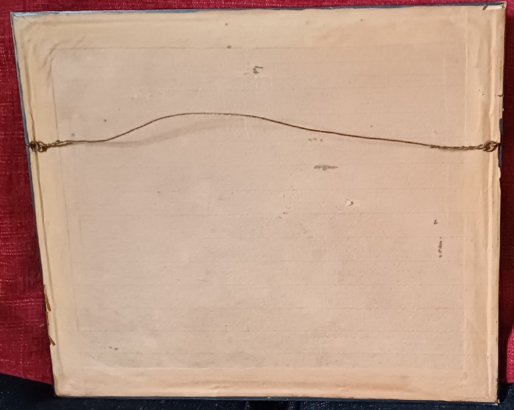
Frame size: 14.75” x 12.5”
Price £245.00 inclusive of shipping to within the UK
You can find more items of interest and purchase through our website, using all major credit cards:
please visit: www.oliversargentantiques.com
Internal Reference: OSA 1472
Antique ID Number (AIDN): SA1153404
Dateline of this antique is 17th Century
Height is 37.5cm (14.8inches)Width is 32cm (12.6inches)Depth is 2cm (0.8inches)
Antique SA1153404 shown on this page was made in the 17th Century. For historical context, the timeline below highlights the period when it was created:
←C17th
ANTIQUE SA1153404
CONTACT DETAILS OF SELLER:
Oliver Sargent Antiques
Dorset
United Kingdom
Tel: 07804 225 614
EMAIL SELLER
Send direct to seller
EXTRA RESOURCES
Thank you.
Your comment has been sent to Sellingantiques.
Thank you.
Your rating and comment have been sent to Sellingantiques.
Thank you.
Your score has been recieved.
Thanks. But what can we do better?
SEND COMMENT
If you would like to be contacted to discuss your feedback then please leave a phone number or email address in your message.
Thanks for your great feedback!
We love it when our wonderful visitors are happy with us!
SEND COMMENT
Live daily database information for 24 July 2026
Antiques approved in last 24 hours
0
Antiques awaiting approval
13
Antiques rejected in last 24 hours
0
Unique visitors today
4682
Total antique impressions today
586010
Total antiques for sale
67017
Total value of antiques for sale
£138865154
Antiques uploaded so far in July 2026
3150
Unique visitors to Sellingantiques so far in July 2026
326659
Unique visitors to Sellingantiques so far in 2026
3888199
Item saved
The Map of Caernarvonshire – Based on Saxton's 1579 Map, Reduced by William Hole for Camden’s Britannia (1637 Edition) has been added to your saved items.
Sending email ...
... please wait
Sending Email...
... please wait
Problem with this page?
You can contact us with the problem you are having and we will investigate.
Sending an email to: Oliver Sargent Antiques
Item: #SA1153404 Map of Caernarvonshire – Based on Saxto...






Thank you.
Your comment has been sent to Sellingantiques.