42,869  PAGES BROWSED TODAY PAGES TODAY 98  ANTIQUES UPLOADED TODAY NEW ARRIVALS
ID #SA1153404
FOR SALE
£245
Email
Save
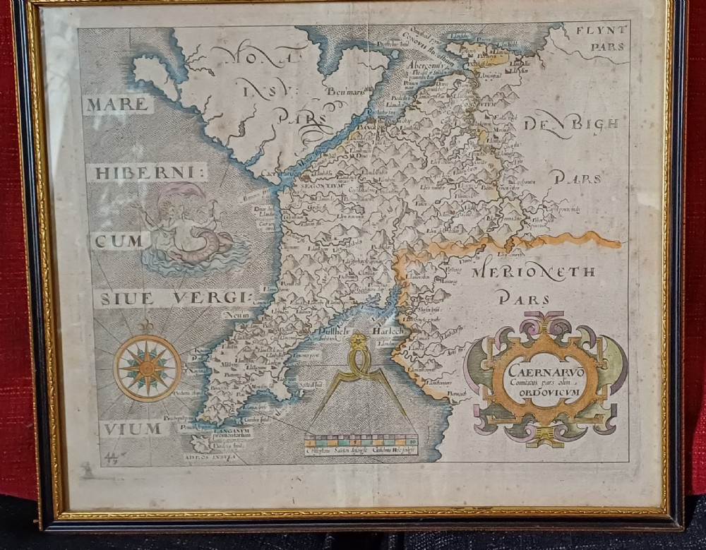
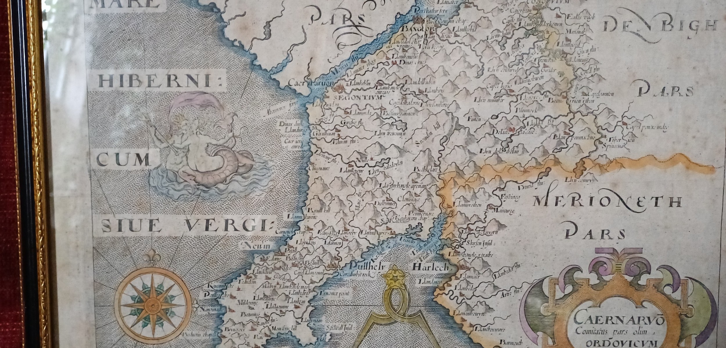
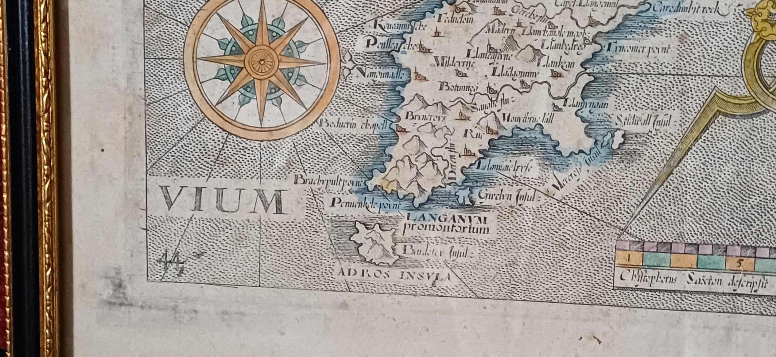
Map of Caernarvonshire – Based on Saxton's 1579 Map, Reduced by William Hole for Camden’s Britannia (1637 Edition)
Oliver Sargent Antiques
for sale €287     $311
£245

Oliver Sargent Antiques

Sellingantiques Verified Since Jul 2013
View Dealers Stock Page
  • About Us
    Specialists in vintage military watches & clocks and antique oriental ceramics & works of art
Id #SA1153404
PDF SHARE
SAVE

Map of Caernarvonshire – Based on Saxton's 1579 Map, Reduced by William Hole for Camden’s Britannia (1637 Edition)

17th century
Description

This map of Caernarvonshire is the earliest available single-sheet representation of the county, based on Christopher Saxton’s 1579 map but reduced in size by William Hole for the 1637 edition of William Camden’s Britannia. Britannia, Camden’s monumental geo-historical survey of Great Britain and Ireland, was first published in 1586 and quickly gained popularity. Inspired by the success of Saxton’s county atlas, Camden began planning to include maps in his work by 1589. However, it wasn’t until the sixth edition in 1607 that Britannia featured a full set of county maps. These visual additions revitalized the publication, making it a standard reference in libraries for centuries. Later editions continued to appear into the early 19th century, though the maps were eventually replaced by newer versions. The maps from the 1607, 1610, and 1637 editions—commonly referred to as the Saxton-Kip or Saxton-Hole maps—offer collectors a rare chance to own the first or second printed map of many English counties. Typically published in black and white, some editions were hand-coloured at the time, though this is quite rare. In Saxton’s original 1579 atlas, Caernarvonshire and Anglesey shared a single sheet. This arrangement was retained in van den Keere’s miniature atlas around 1605. However, the version included in Camden’s Britannia marks the first time Caernarvonshire appeared independently on its own map sheet.
Map size: 10” x 12”

Frame size: 14.75” x 12.5”

Price £245.00 inclusive of shipping to within the UK

You can find more items of interest and purchase through our website, using all major credit cards:

please visit: www.oliversargentantiques.com

Physical Dimensions
Height
37.5cm (14.76")
Width
32cm (12.60")
Depth
2cm (0.79")
Declaration

Oliver Sargent Antiques has dated this 1637 Caernarvonshire Map Print to the 17th Century.

Reference Numbers
Sellingantiques Reference
SA1153404
Dealers Internal Reference
OSA 1472
Description
This map of Caernarvonshire is the earliest available single-sheet representation of the county, based on Christopher Saxton’s 1579 map but reduced in size by William Hole for the 1637 edition of William Camden’s Britannia.
Britannia, Camden’s monumental geo-historical survey of Great Britain and Ireland, was first published in 1586 and quickly gained popularity.
Oliver Sargent Antiques

Inspired by the success of Saxton’s county atlas, Camden began planning to include maps in his work by 1589. However, it wasn’t until the sixth edition in 1607 that Britannia featured a full set of county maps. These visual additions revitalized the publication, making it a standard reference in libraries for centuries. Later editions continued to appear into the early 19th century, though the maps were eventually replaced by newer versions. The maps from the 1607, 1610, and 1637 editions—commonly referred to as the Saxton-Kip or Saxton-Hole maps—offer collectors a rare chance to own the first or second printed map of many English counties. Typically published in black and white, some editions were hand-coloured at the time, though this is quite rare. In Saxton’s original 1579 atlas, Caernarvonshire and Anglesey shared a single sheet. This arrangement was retained in van den Keere’s miniature atlas around 1605. However, the version included in Camden’s Britannia marks the first time Caernarvonshire appeared independently on its own map sheet.

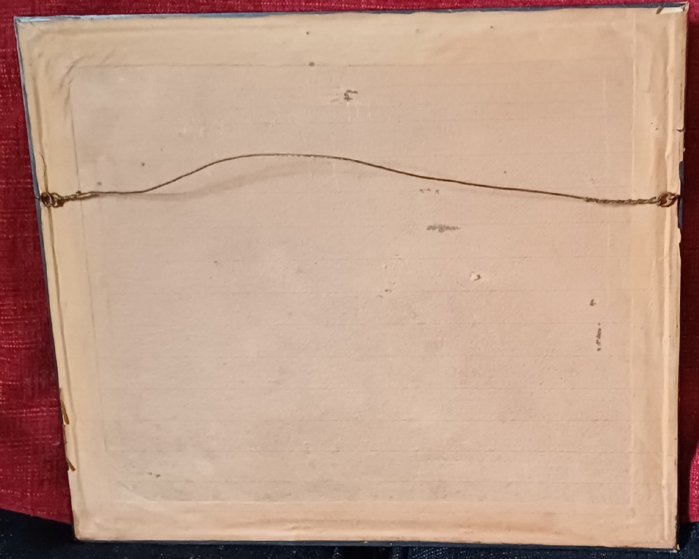
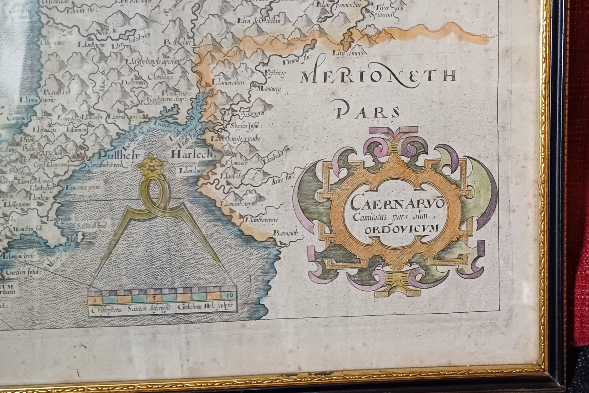
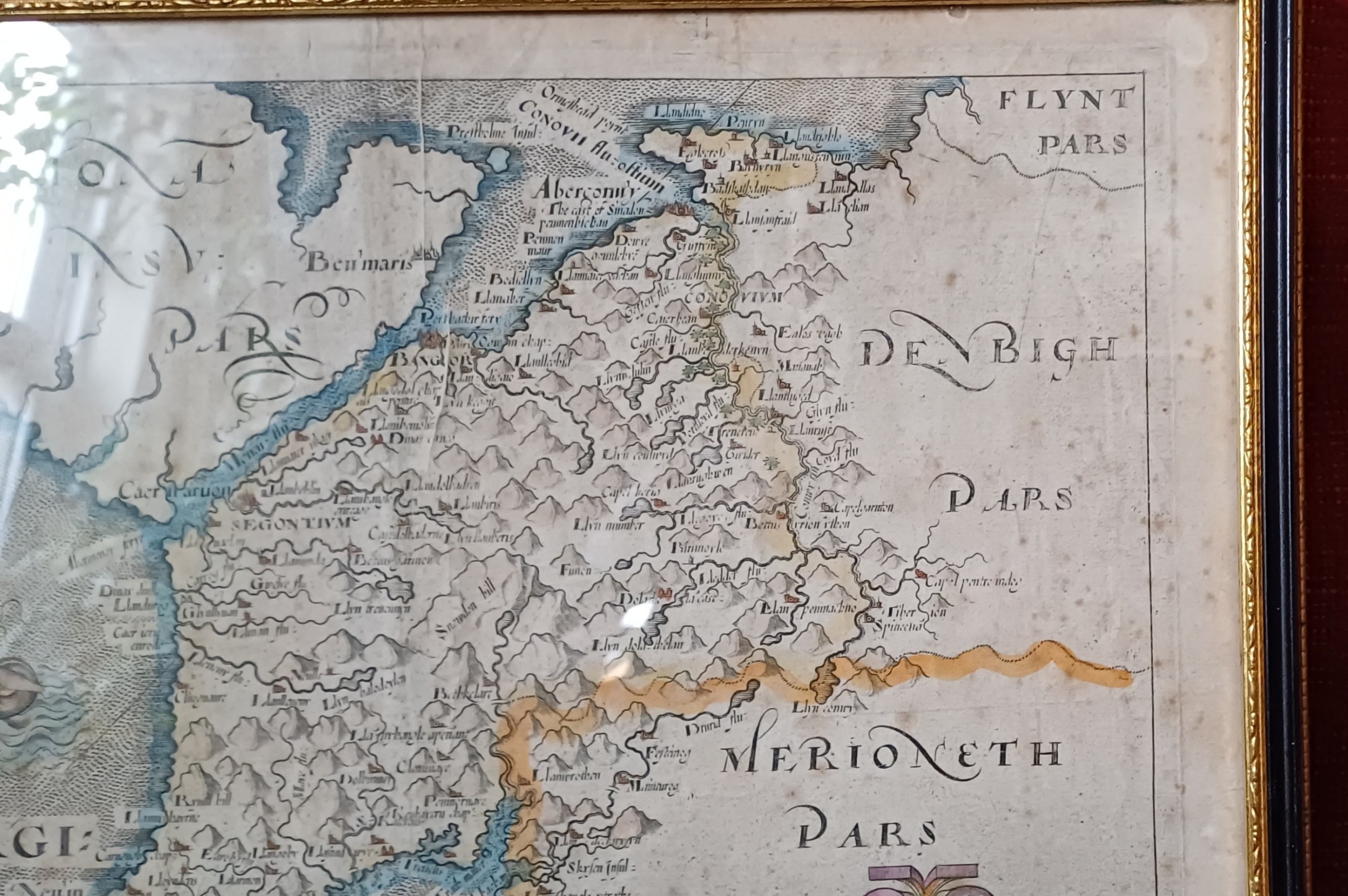
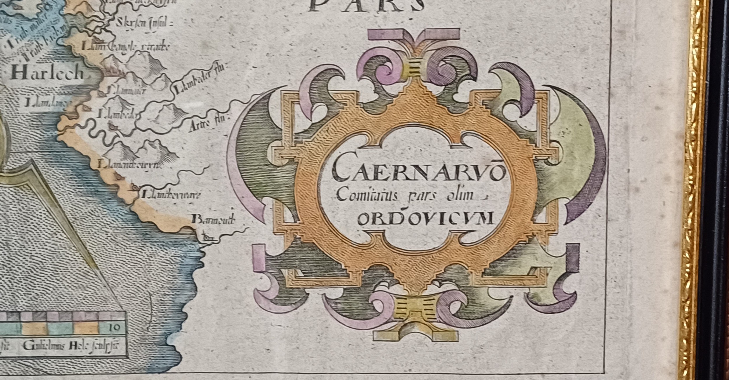
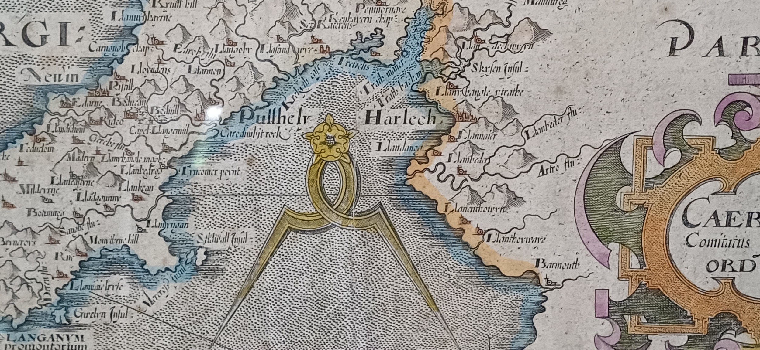
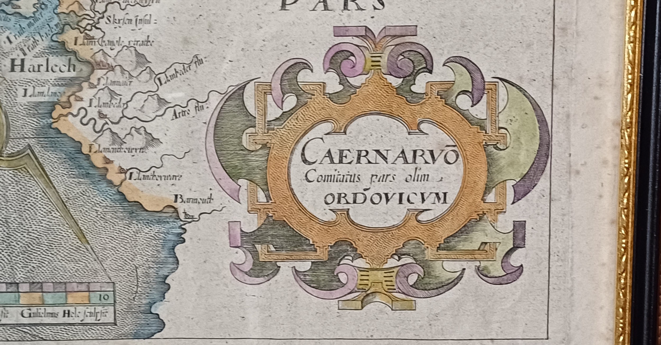
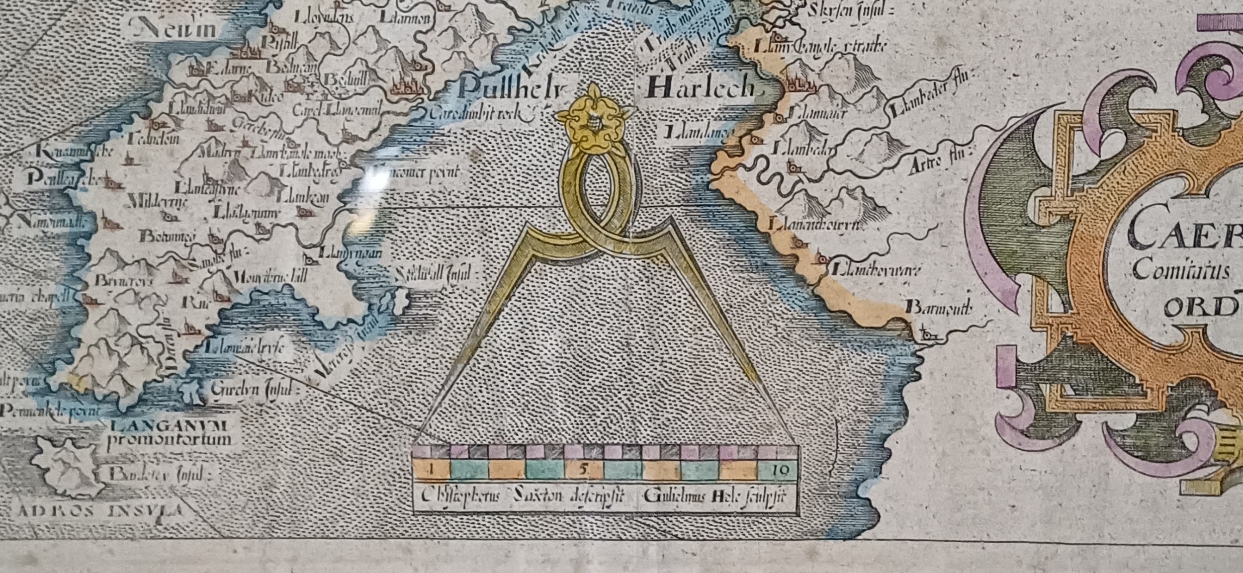
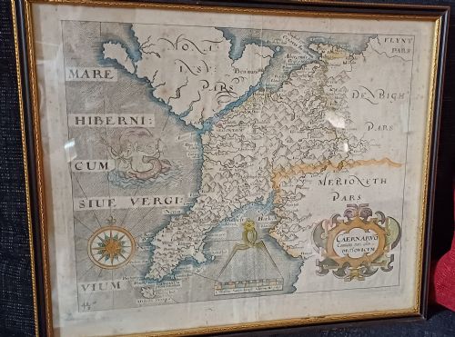
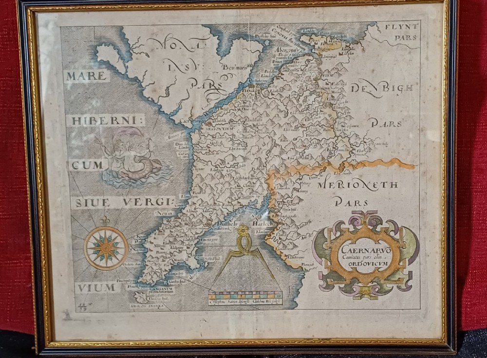
fig 1. A framed 17th-century hand-coloured map of Caernarvonshire featuring a decorative cartouche, compass rose, and sea monster illustration.
fig 1. Map of Caernarvonshire – Based on Saxton's 1579 Map, Reduced by William Hole for Camden’s Britannia (1637 Edition)

Map size: 10” x 12”

Frame size: 14.75” x 12.5”

Price £245.00 inclusive of shipping to within the UK

You can find more items of interest and purchase through our website, using all major credit cards:

please visit: www.oliversargentantiques.com

Height
37.5cm (14.76")
Width
32cm (12.60")
Depth
2cm (0.79")
Date of Manufacture

Oliver Sargent Antiques has dated this 1637 Caernarvonshire Map Print to the 17th Century.

Reference Numbers
Sellingantiques Ref
SA1153404
Dealers Internal Ref
OSA 1472
Oliver Sargent Antiques
Sellingantiques verified Since Jul 2013

Specialists in vintage military watches & clocks and antique oriental ceramics & works of art

Dealer Profile

You can view the stock and full dealer information on the Oliver Sargent Antiques Profile Page
PDF SHARE
SAVE
A framed 17th-century hand-coloured map of Caernarvonshire featuring a decorative cartouche, compass rose, and sea monster illustration.
1 / 16
Archive I A framed 17th-century hand-coloured map of Caernarvonshire featuring a decorative cartouche, compass rose, and sea monster illustration.

Map of Caernarvonshire – Based on Saxton's 1579 Map, Reduced by William Hole for Camden’s Britannia (1637 Edition)
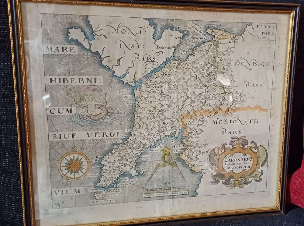
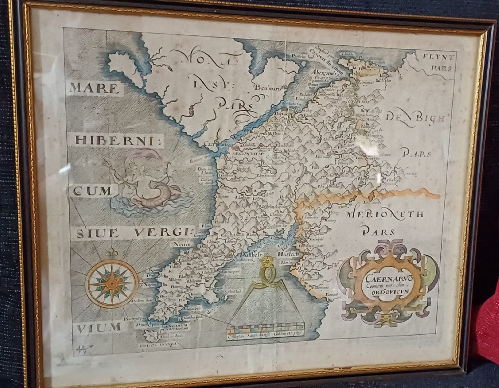
Archive II A framed 17th-century hand-coloured map of Caernarvonshire featuring a decorative cartouche, compass rose, and sea monster illustration. View II
Archive III A framed 17th-century hand-coloured map of Caernarvonshire featuring a decorative cartouche, compass rose, and sea monster illustration. View III
Archive IV A framed 17th-century hand-coloured map of Caernarvonshire featuring a decorative cartouche, compass rose, and sea monster illustration. View IV
Archive V A framed 17th-century hand-coloured map of Caernarvonshire featuring a decorative cartouche, compass rose, and sea monster illustration. View V
Archive VI A framed 17th-century hand-coloured map of Caernarvonshire featuring a decorative cartouche, compass rose, and sea monster illustration. View VI
Archive VII A framed 17th-century hand-coloured map of Caernarvonshire featuring a decorative cartouche, compass rose, and sea monster illustration. View VII
Archive VIII A framed 17th-century hand-coloured map of Caernarvonshire featuring a decorative cartouche, compass rose, and sea monster illustration. View VIII
Archive IX A framed 17th-century hand-coloured map of Caernarvonshire featuring a decorative cartouche, compass rose, and sea monster illustration. View IX
Archive X A framed 17th-century hand-coloured map of Caernarvonshire featuring a decorative cartouche, compass rose, and sea monster illustration. View X
Archive XI A framed 17th-century hand-coloured map of Caernarvonshire featuring a decorative cartouche, compass rose, and sea monster illustration. View XI
Archive XII A framed 17th-century hand-coloured map of Caernarvonshire featuring a decorative cartouche, compass rose, and sea monster illustration. View XII
Archive XIII A framed 17th-century hand-coloured map of Caernarvonshire featuring a decorative cartouche, compass rose, and sea monster illustration. View XIII
Archive XIV A framed 17th-century hand-coloured map of Caernarvonshire featuring a decorative cartouche, compass rose, and sea monster illustration. View XIV
Archive XV A framed 17th-century hand-coloured map of Caernarvonshire featuring a decorative cartouche, compass rose, and sea monster illustration. View XV
Archive XVI A framed 17th-century hand-coloured map of Caernarvonshire featuring a decorative cartouche, compass rose, and sea monster illustration. View XVI
Enlarged Archival View
Telephone 07804 225 614
Location
Sturminster
Newton
Dorset
United Kingdom
Verified Since Jul 2013
Items For Sale 94
Items Sold 399
Oliver Sargent Antiques
Verified Since Jul 2013
View Dealer Info
Location: Sturminster, Newton, Dorset, United Kingdom
Verified
Jul 2013
For Sale
94
Sold
399
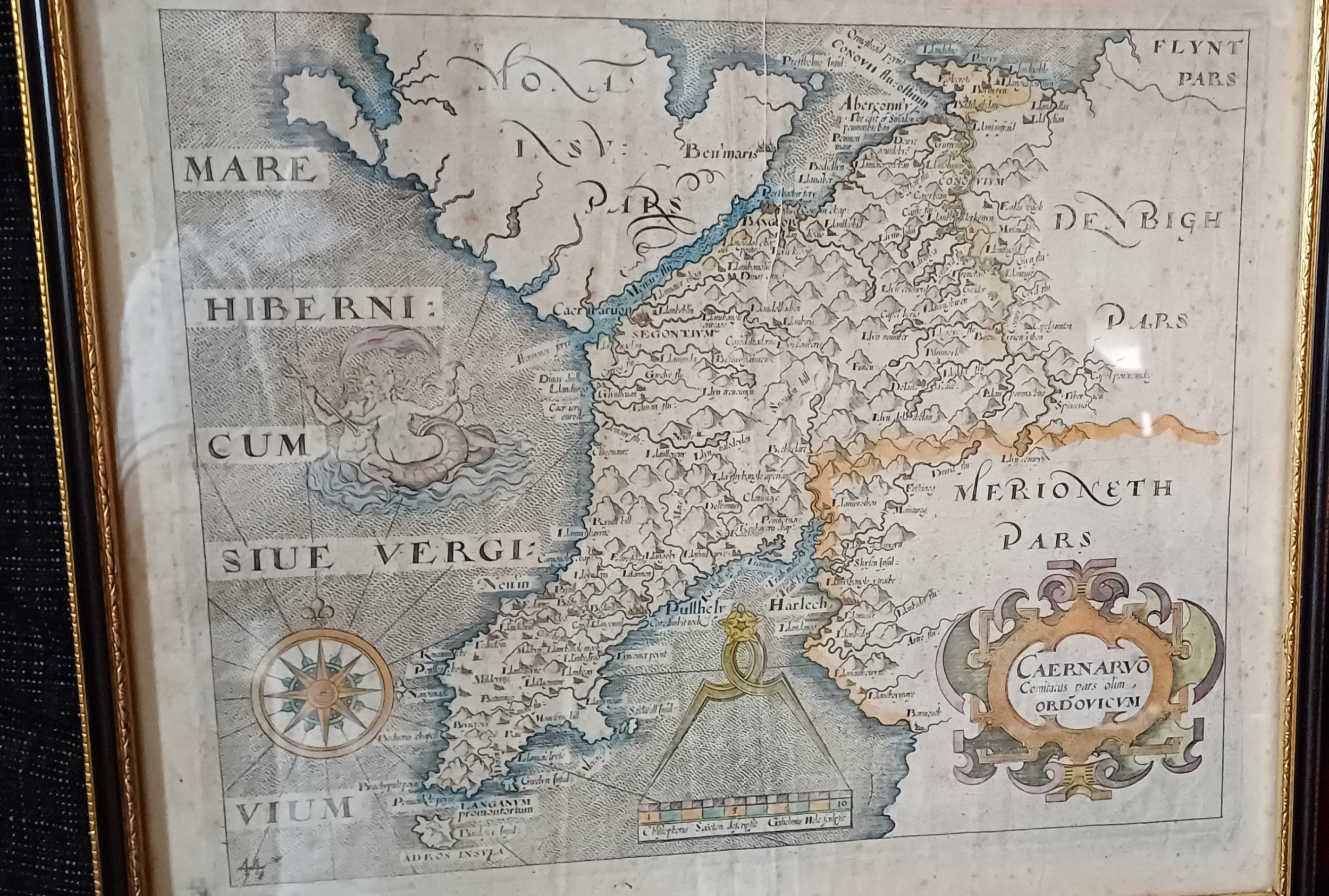
A framed 17th-century hand-coloured map of Caernarvonshire featuring a decorative cartouche, compass rose, and sea monster illustration.
Map of Caernarvonshire – Based on Saxton's 1579 Map, Reduced by William Hole for Camden’s Britannia (1637 Edition)
Ref: SA1153404
A framed 17th-century hand-coloured map of Caernarvonshire featuring a decorative cartouche, compass rose, and sea monster illustration.
Detail View 1
Detail View 2
Detail View 3
Detail View 4
Detail View 5
Detail View 6
Detail View 7
Detail View 8
Detail View 9
Detail View 10
Detail View 11
Detail View 12
Detail View 13
Detail View 14
Detail View 15
Archival Detail
Every single antique dealer on our platform is individually approved by our internal team. We verify their professional trade history, ethical standards, and photographic quality to ensure a secure, high-standard buying environment. Upon joining, every dealer agrees to a strict 9-point code of conduct. While issues can occasionally arise, our dealers typically resolve them swiftly and directly with the buyer. In fact, since our founding in 2002, Sellingantiques has only had to step in to help resolve an issue on roughly five occasions—a true testament to the quality of our dealers and their dedication to your happiness.
Our dealers are highly experienced in packing and shipping fragile, high-value antiques. Because you are in direct contact with the dealer, you will be able to easily go through all available shipping and insurance options together to ensure your item arrives safely.
Antiques are the ultimate green purchase. By choosing historical pieces over newly manufactured goods, you completely eliminate the carbon footprint of modern mass production while preserving exceptional, timeless craftsmanship.

William Hole engraved county maps for the 1607, 1610, and 1637 editions of William Camdens Britannia, utilizing cartographic surveys originally executed by Christopher Saxton and John Norden. These publications represented the first set of individual English and Welsh county maps published in a British atlas.

Early 17th-century maps were created using copperplate engraving, where lines were incised into a metal plate, inked, and impressed onto handmade rag paper. Colour was subsequently applied by hand using water-based pigments.

Authentic period engravings typically display a visible indentation or plate mark around the printed border, chain lines and watermarks inherent to laid paper, and a central fold mark if the sheet originated from a bound atlas.

Antique framed maps function effectively as focal points in study spaces, entryways, or staircases. Pairing cartographic prints with dark timber furniture, brass lighting, and neutral wall tones enhances a traditional or transitional aesthetic.

Framed works on paper should be kept away from direct sunlight, high humidity, and fluctuating temperatures to prevent foxing and discolouration. Using acid-free mounting materials and UV-protective glass aids in long-term preservation.
items
Add keywords to the filter
Price
£100
£250000
Era
Movements
Material
Origin
Stock Location
Freshness
Online Payments
Categories