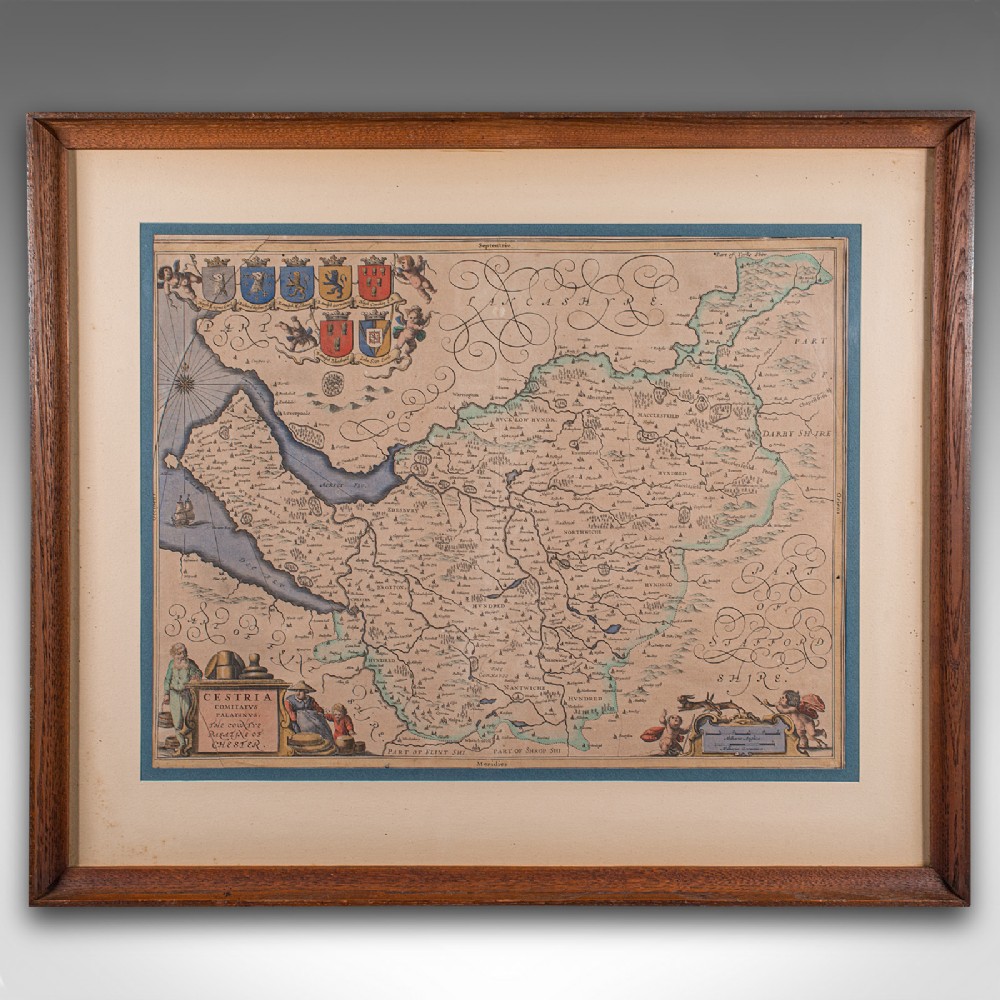
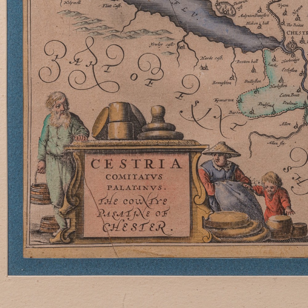
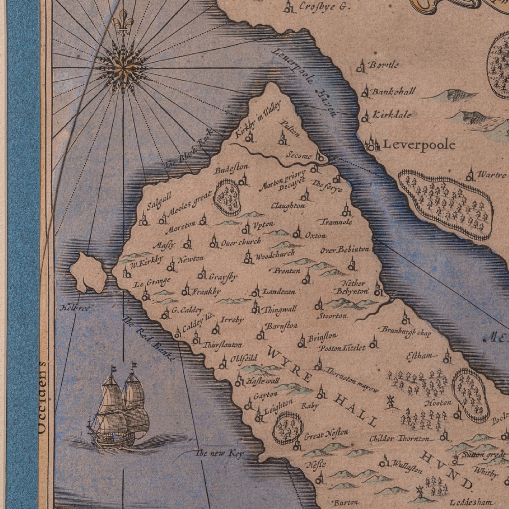
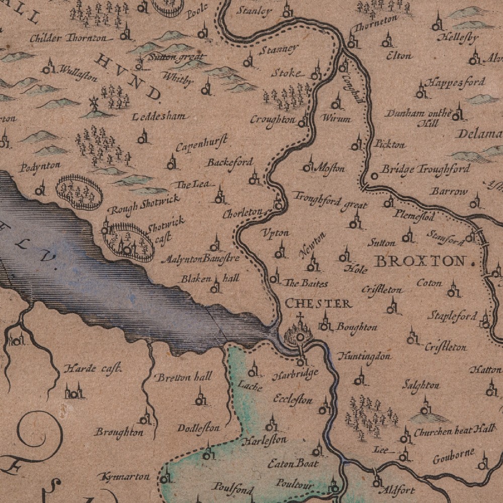
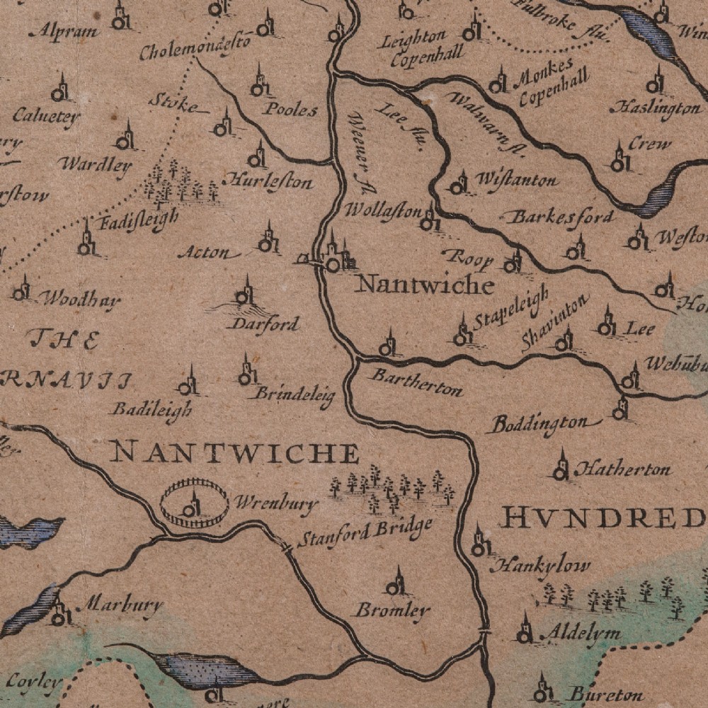
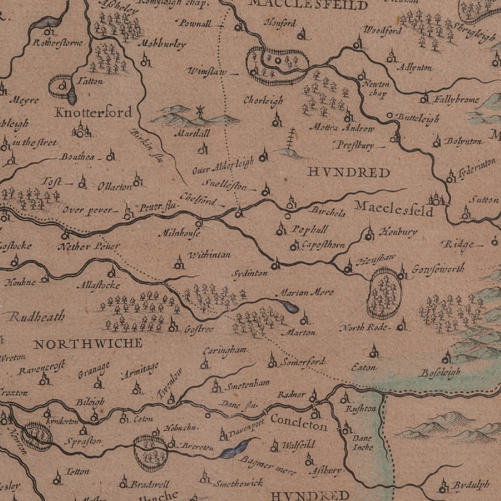
London Fine Antiques has dated this Framed Antique Cheshire Map to the 17th Century.
A treat for the collector or county native, with this charming Cheshire map
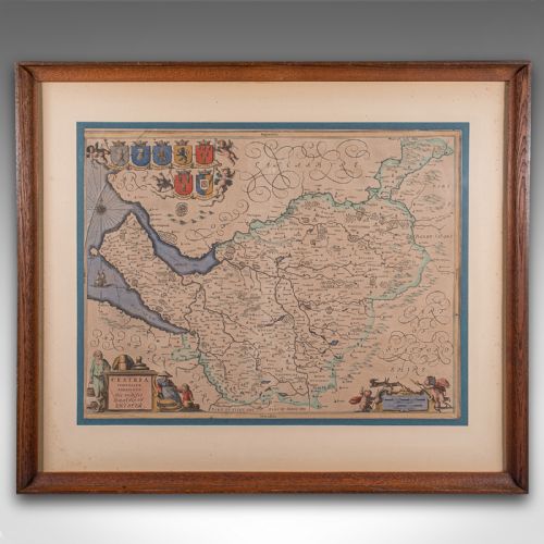
Displays a desirable aged patina within a later, quality frame
Skilfully charted by the Dutch cartographer Johannes Janssonius (1558 - 1664)
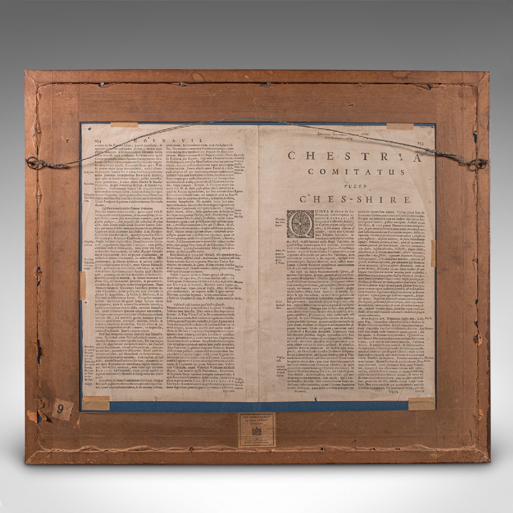
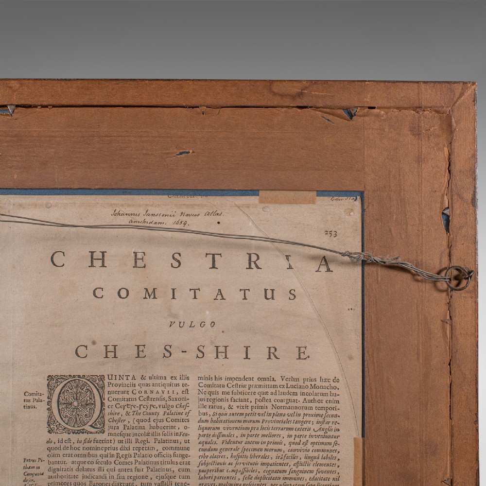
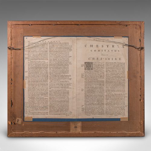
Rear features the accompanying county entry from the Novus Atlus, Amsterdam
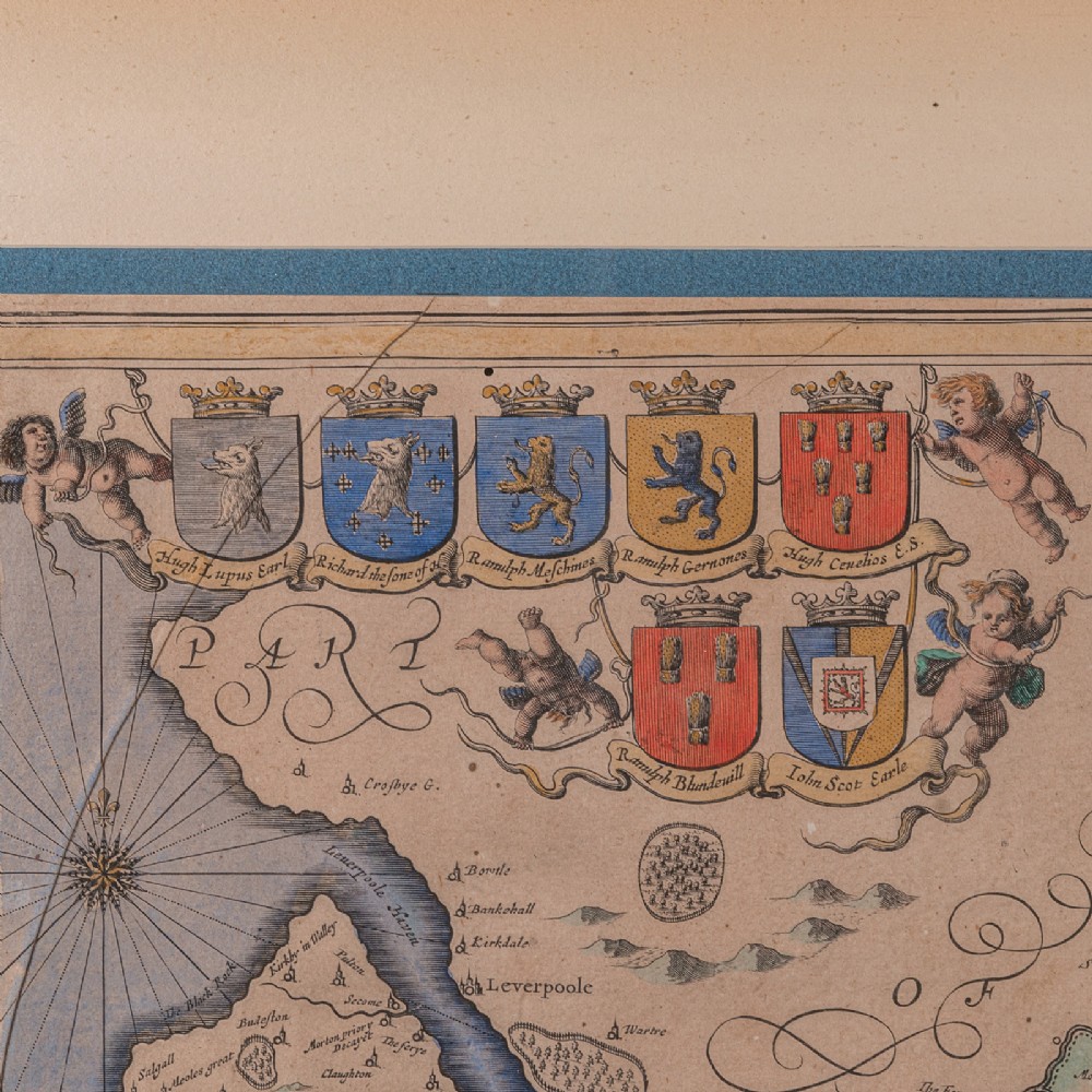
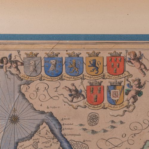
Annotated with fascinating heraldic detail for prominent families
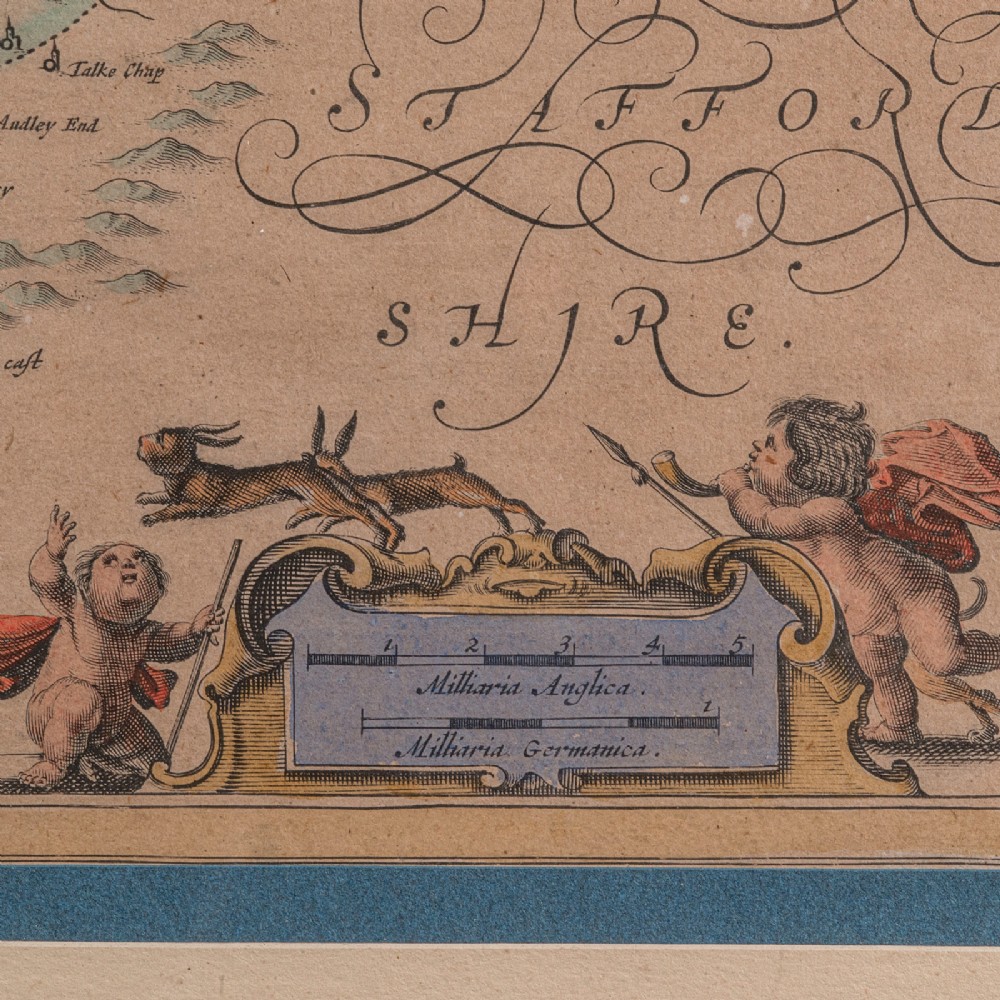
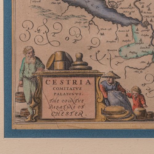
Cherub figures accentuate the scale, shown in 'Milliaria Anglica' and 'Milliaria Germanica'
Hand coloured finish adds an appealing decorative appearance
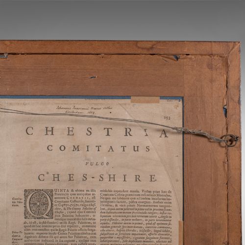
Dressed to the rear with mounting wire for ease of hanging
Delivered ready to display.
Dimensions:
Max Width: 66cm (26'')
Max Depth: 2.5cm (1'')
Max Height: 56cm (22'')
Map Width: 49.5cm (19.5'')
Map Height: 38cm (15'')
We offer a 100% satisfaction guarantee with all of our antiques.
We ship worldwide with professional packing and attractive rates – please send us your post / zip code and country for a quote.
Free delivery to most of the U.K. – Please send us your post code for confirmation.
Deliveries taking on average ten working days to arrive at your door from receipt of payment.
Please contact us if you require any further information - we are here to help.
Our Ref: 24562
London Fine Antiques has dated this Framed Antique Cheshire Map to the 17th Century.
Fine antiques curated in england and sold worldwide
You can view the stock and full dealer information on the London Fine Antiques Profile Page
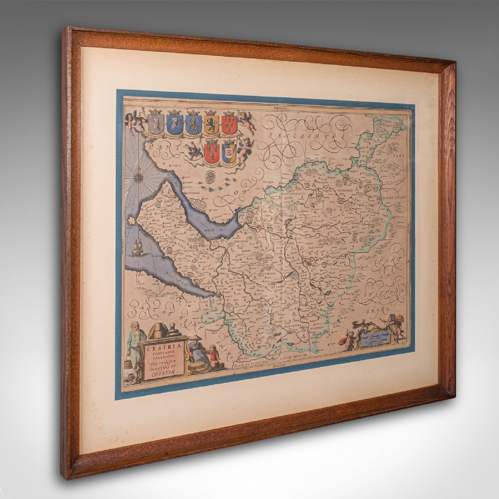
Antique County Map of Cheshire, Dutch, Framed, Cartography, Janssonius, C.1660