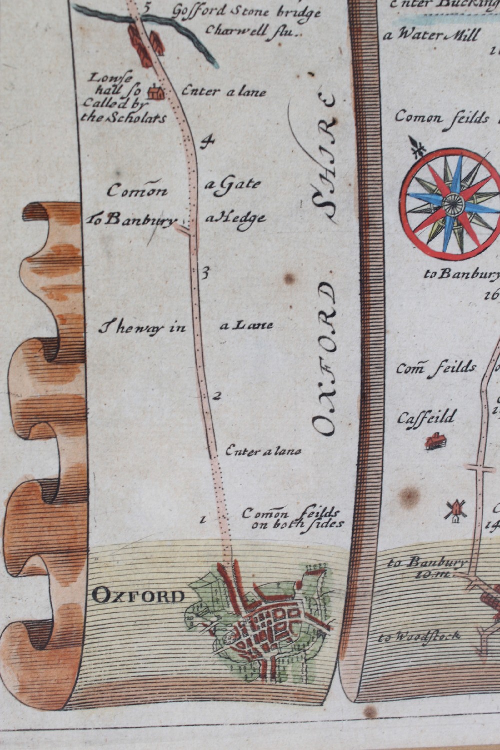
Antique Furniture Direct has dated this piece to the 17th Century.
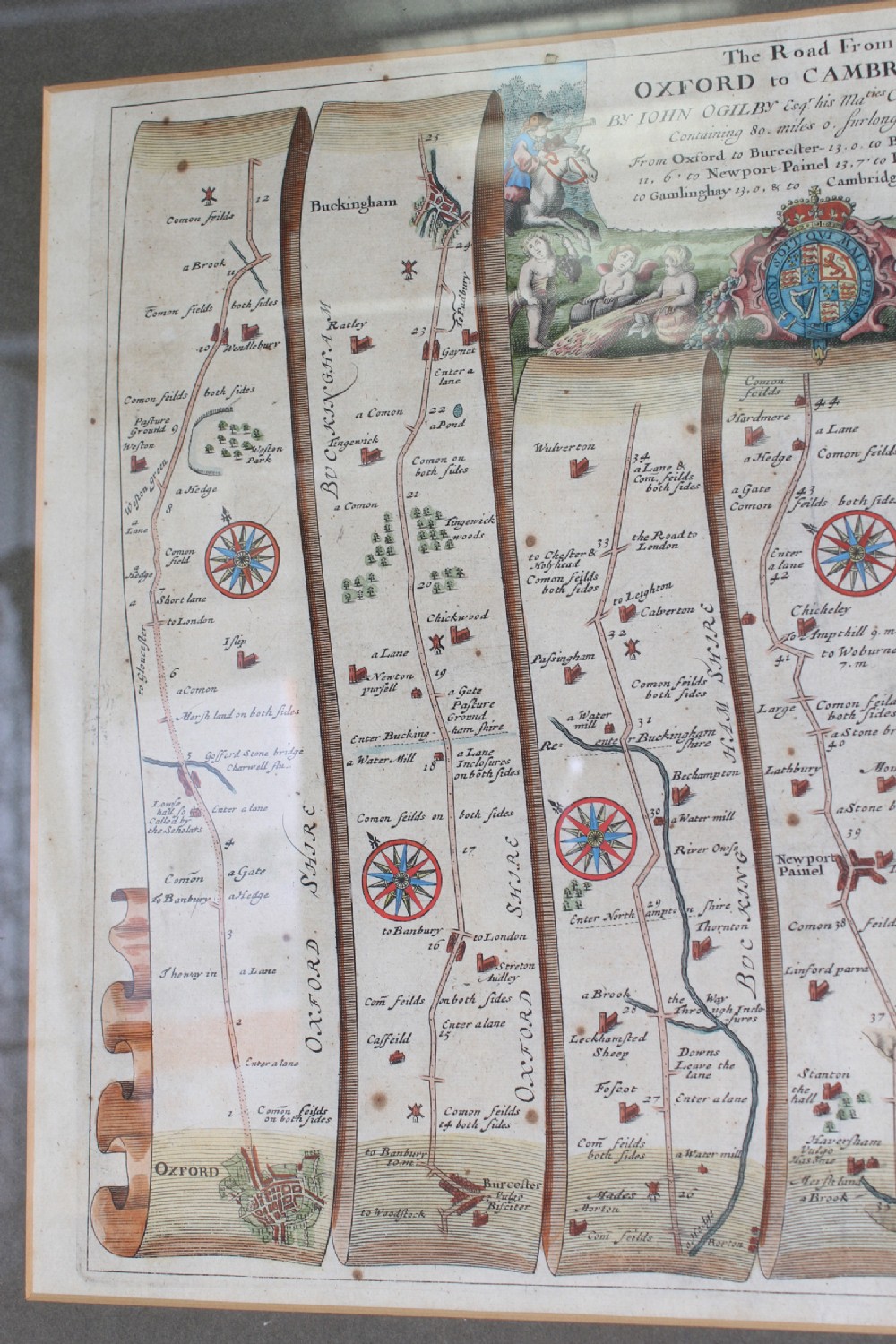
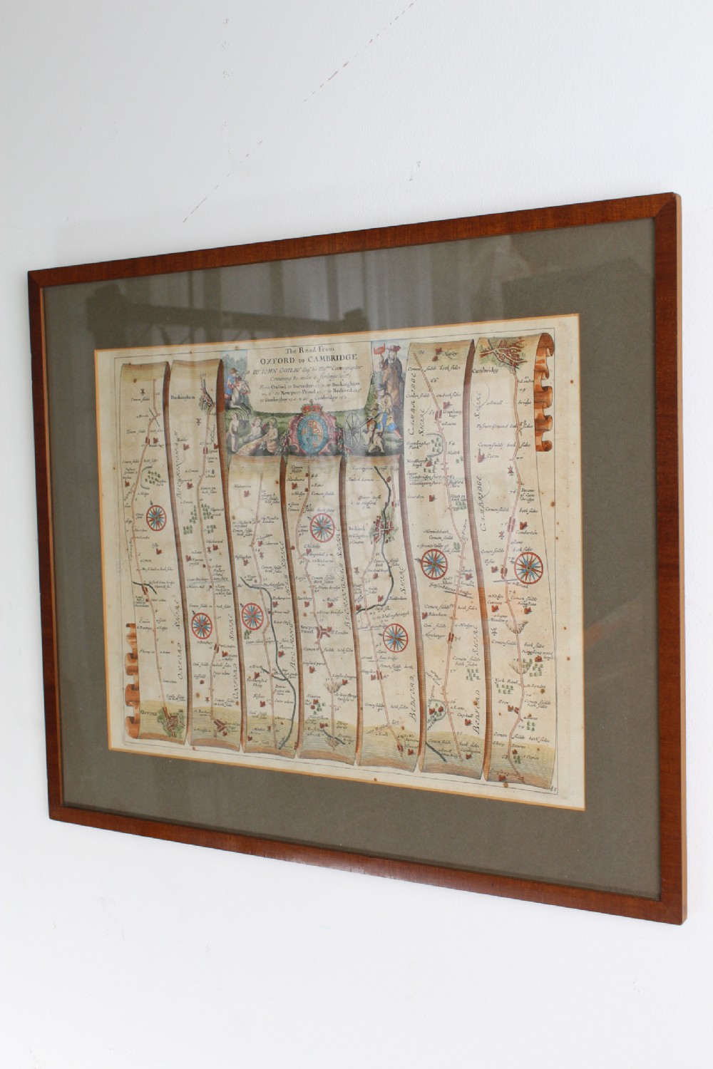
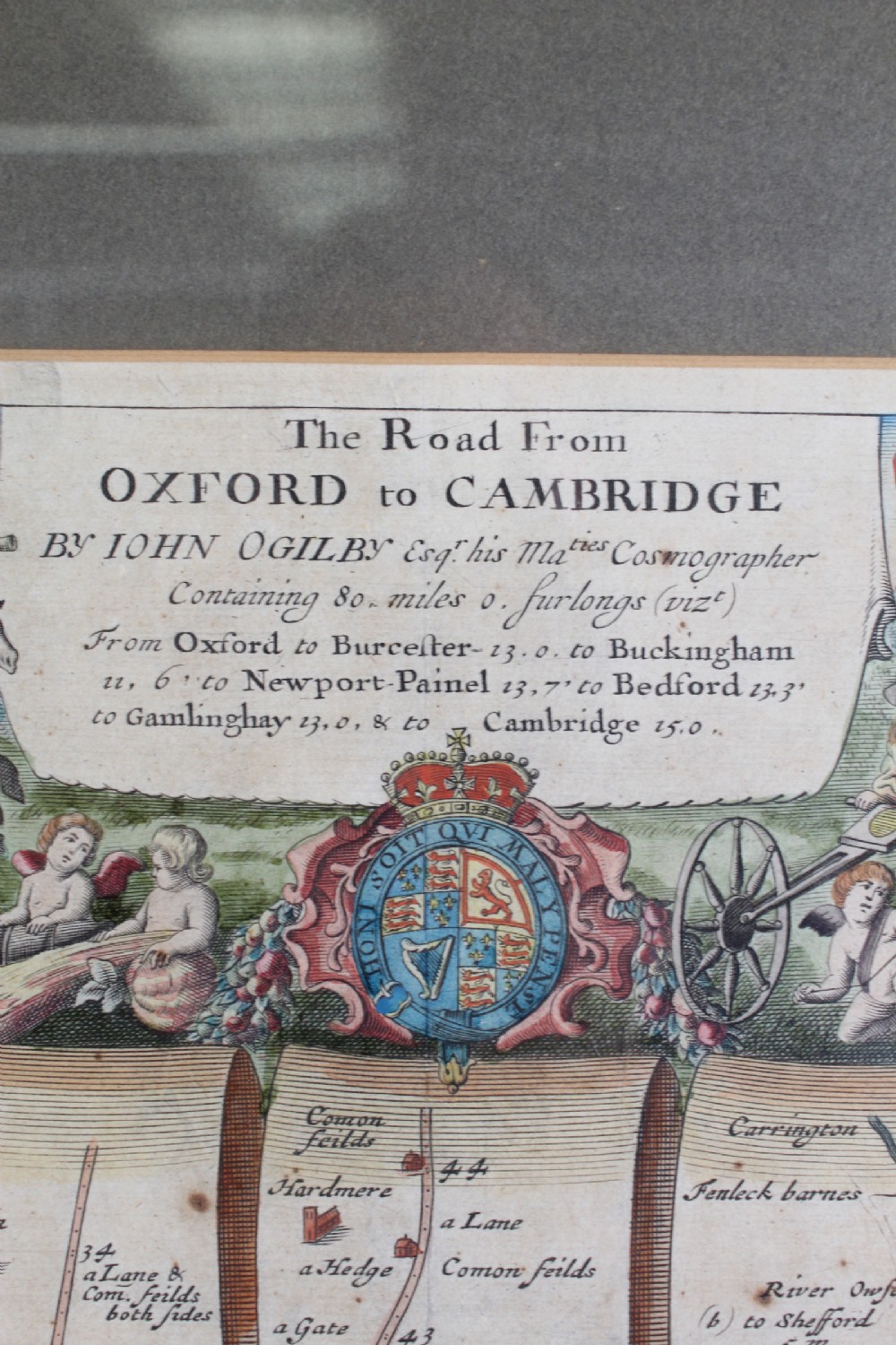
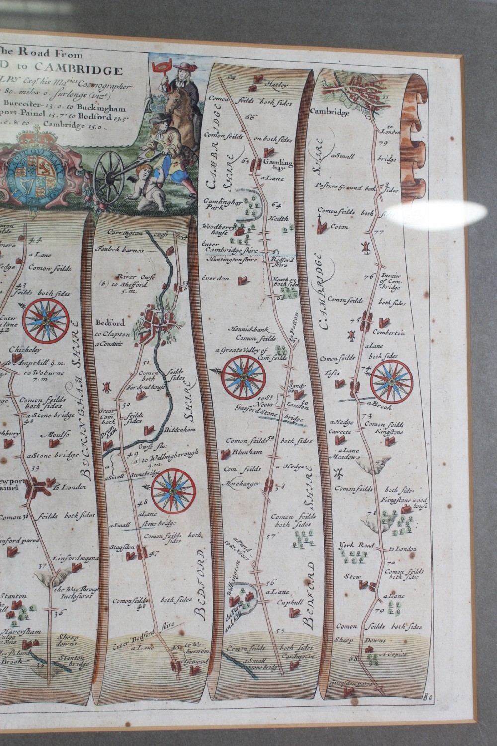
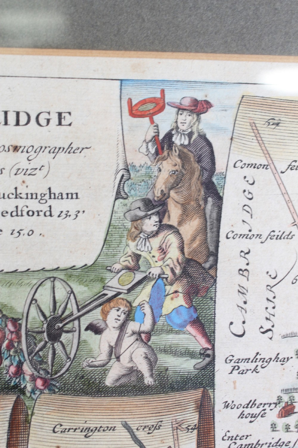
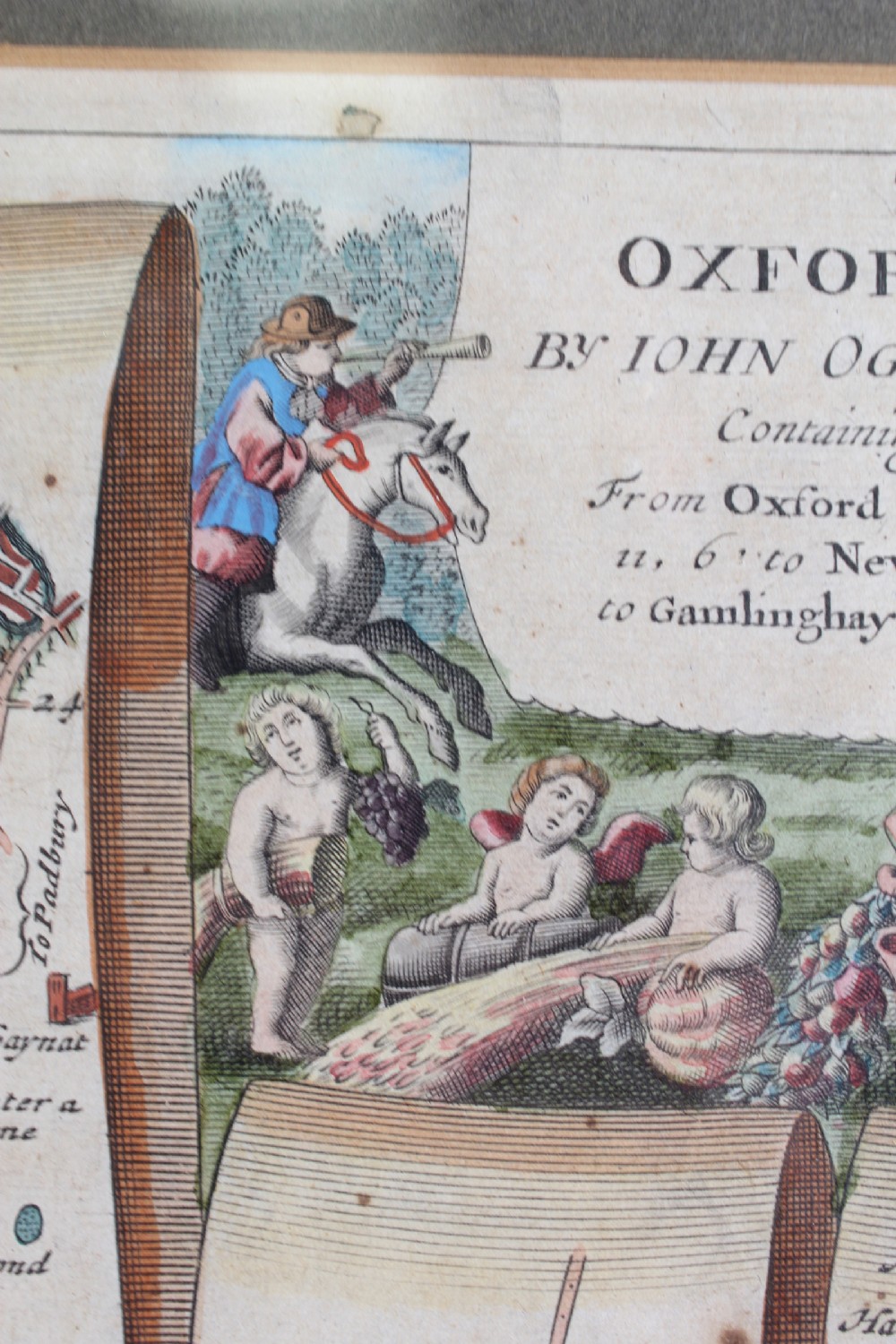
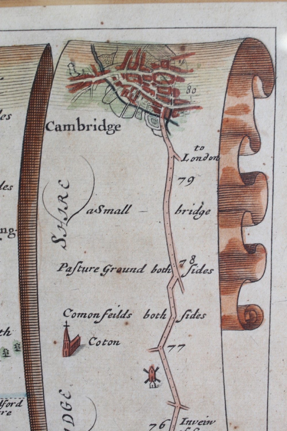
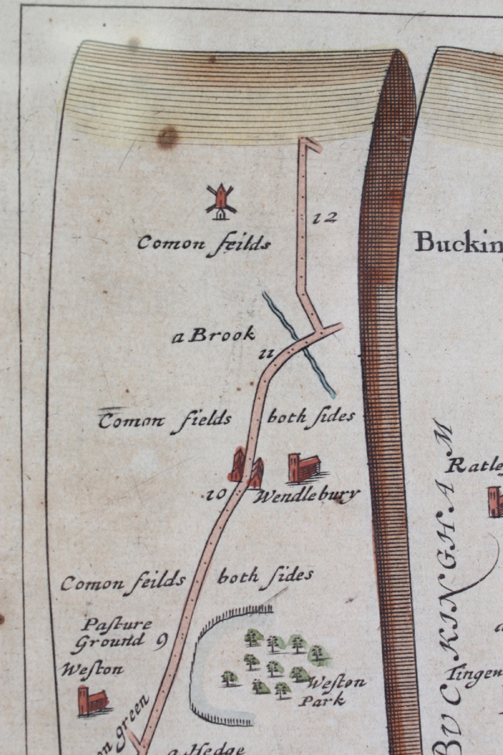
He designed an accurate and easy to use map system which reads from bottom to top and left to right. Ogilby’s “Britannia” atlas was also truly ground-breaking in its time, as it was the first survey of roads in the British Isles and marked the first use of the so-called “Waywiser”, a wheeled device, one complete revolution of which marked one yard. This map features a decorative cartouche showing a surveyor using a “waywiser”.
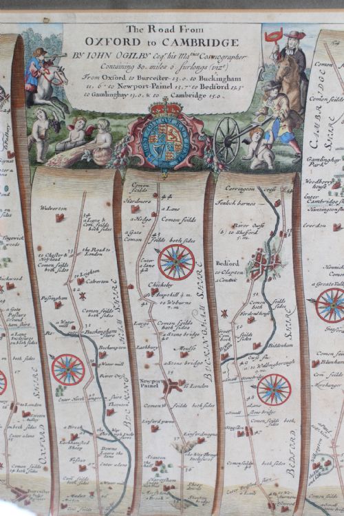
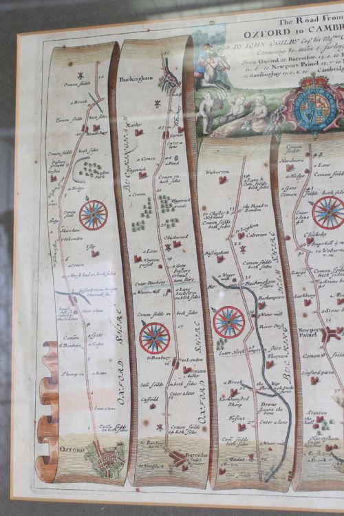
The road commences at Oxford and runs through Bicester, Buckingham, Newport Pagball, Bedford and Gamlingay and ends at Cambridge. Of the 100+ maps in the published atlas, this may well be the most popular, showing as it does the way between the two best known university towns of the age. Would make a wonderful graduation gift.
Construction/Wood:
Framed
Condition Report:
Feint crease mark to centre. Age spots and oxidization commensurate with age. The hand colouring is attractive. A few marks to frame.
Dimensions:
Frame Depth: 2cm
Frame Height: 51cm
Frame Width: 61cm
Map Height: 35cm
Map Width: 46cm
Antique Furniture Direct has dated this piece to the 17th Century.
You can view the stock and full dealer information on the Antique Furniture Direct Profile Page
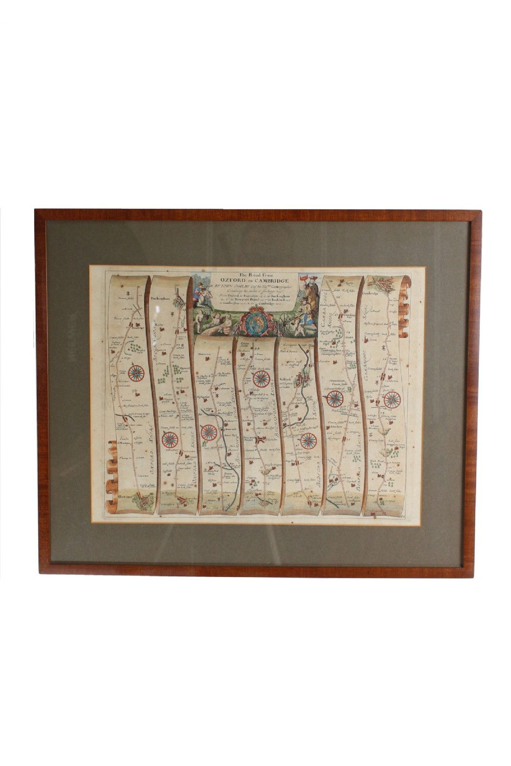
17th Century Road Map of Oxford to Cambridge John Ogilby